Stannally Clough
Valley in Yorkshire
England
Stannally Clough
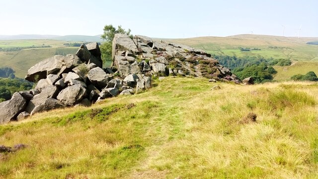
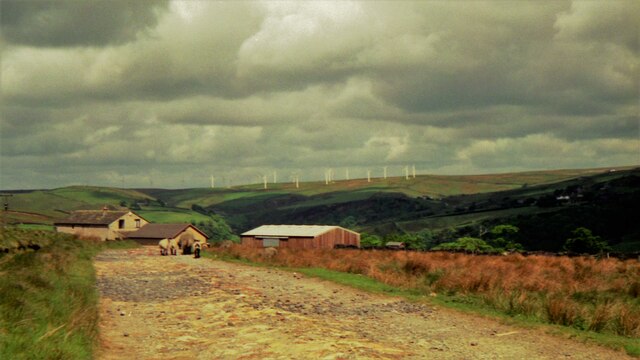
Stannally Clough is a picturesque valley located in the county of Yorkshire, England. Situated on the eastern edge of the Pennines, it is renowned for its stunning natural beauty and tranquil surroundings. The valley is nestled between rolling hills, covered in dense woodland and dotted with charming villages.
The main feature of Stannally Clough is the meandering river that flows through its heart, creating a sense of serenity and providing a habitat for a variety of wildlife. The river is flanked by lush greenery and vibrant wildflowers, making it a popular spot for nature enthusiasts and photographers.
The valley is also home to several walking trails, offering visitors the opportunity to explore its hidden gems. These trails wind through ancient woodlands, revealing breathtaking views of the surrounding countryside and leading to secluded spots where one can appreciate the tranquility of nature.
Stannally Clough is a haven for birdwatchers, with a diverse range of avian species inhabiting the area. Keen birdwatchers can spot a wide variety of birds, including owls, woodpeckers, and various songbirds. The valley's natural beauty and abundance of wildlife make it a popular destination for those seeking a peaceful retreat or a day of outdoor activities.
In addition to its natural wonders, Stannally Clough is also steeped in history. The valley is dotted with remnants of ancient settlements and historical landmarks, providing a glimpse into the past. These cultural and historical features add depth and intrigue to the already enchanting landscape of Stannally Clough.
If you have any feedback on the listing, please let us know in the comments section below.
Stannally Clough Images
Images are sourced within 2km of 53.729657/-2.1152328 or Grid Reference SD9225. Thanks to Geograph Open Source API. All images are credited.


![Empire Books, Stansfield Street, Todmorden The building is shown on early 20th century maps as &#039;Carr Mill (Slipper)&#039;. It presumably made carpet slippers from fabric produced in one of the many local cotton mills. A comment on a local history website says &#039;The footwear industry in Rossendale [not far from Todmorden] didn&#039;t really finish until the late 1980s&#039;.](https://s1.geograph.org.uk/geophotos/07/16/97/7169761_b27b5222.jpg)


Stannally Clough is located at Grid Ref: SD9225 (Lat: 53.729657, Lng: -2.1152328)
Division: West Riding
Unitary Authority: Calderdale
Police Authority: West Yorkshire
What 3 Words
///elections.priced.form. Near Cornholme, West Yorkshire
Nearby Locations
Related Wikis

Todmorden High School
Todmorden High School is a comprehensive school in the town of Todmorden, Calderdale LEA, West Yorkshire, England. == Admissions == Todmorden High School...
Mons Mill, Todmorden
Mons Mill, Todmorden, is a former cotton spinning mill in Todmorden, Calderdale, West Yorkshire, England built for the Hare Spinning Company Limited. It...
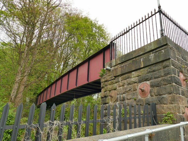
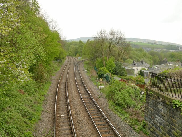
Cornholme railway station
Cornholme railway station served the village of Cornholme in West Yorkshire, England on the Copy Pit line. The station was opened by the Lancashire and...

Todmorden War Memorial
Todmorden War Memorial is a war memorial located in Todmorden, West Yorkshire, England.The memorial is in the garden of remembrance in Centre Vale Park...
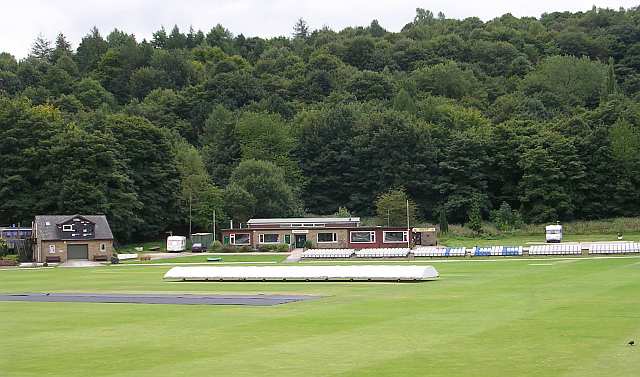
Todmorden Cricket Club
Todmorden Cricket Club is a cricket club in the Lancashire League, which plays its home games at Centre Vale in Todmorden, West Yorkshire. Until the administrative...

Pudsey, Calderdale
Pudsey is a neighbourhood in the village of Cornholme, Calderdale, West Yorkshire, England. It is near the town of Todmorden and the A646 Burnley Road...

Stansfield Hall railway station
Stansfield Hall railway station (English: ) was the second station in Stansfield, Todmorden in West Yorkshire, England and was situated on the Copy Pit...

Todmorden bus station
Todmorden bus station serves the town of Todmorden, West Yorkshire, England. The bus station is owned and managed by West Yorkshire Metro and was opened...
Nearby Amenities
Located within 500m of 53.729657,-2.1152328Have you been to Stannally Clough?
Leave your review of Stannally Clough below (or comments, questions and feedback).