Horse Pasture Clough

Valley in Lancashire

England

Horse Pasture Clough

Shore Moor Crook Hill Wind Farm on Shore Moor.
Shore Moor Credit: Peter McDermott

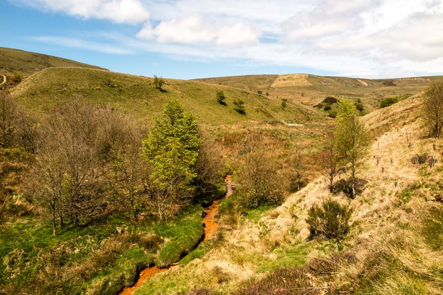
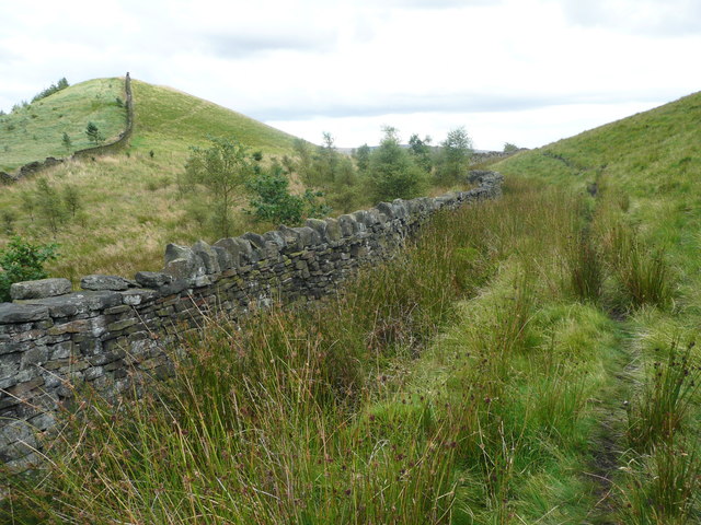
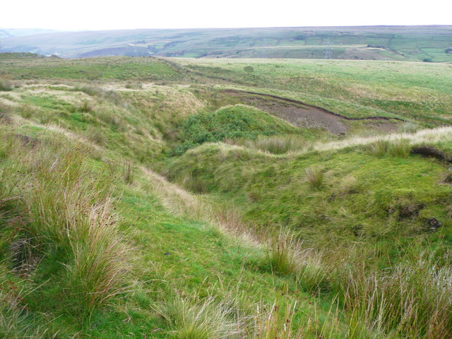
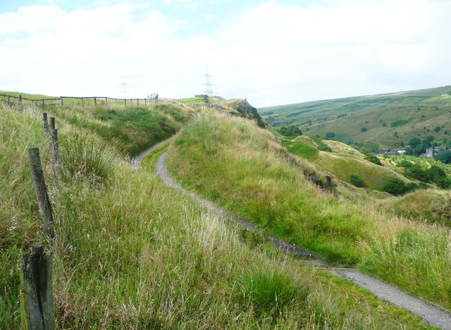
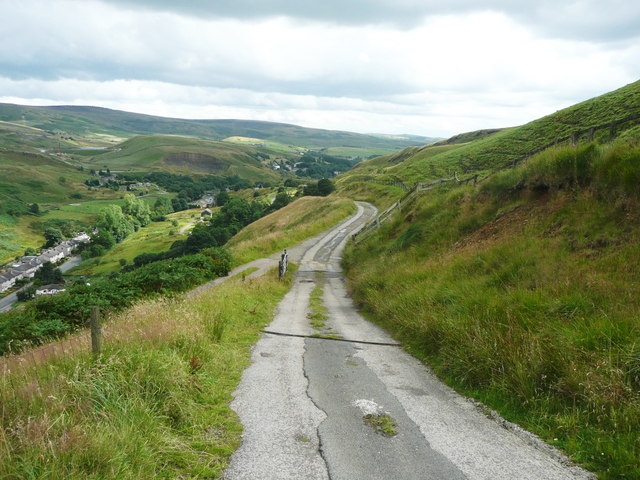
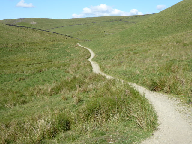
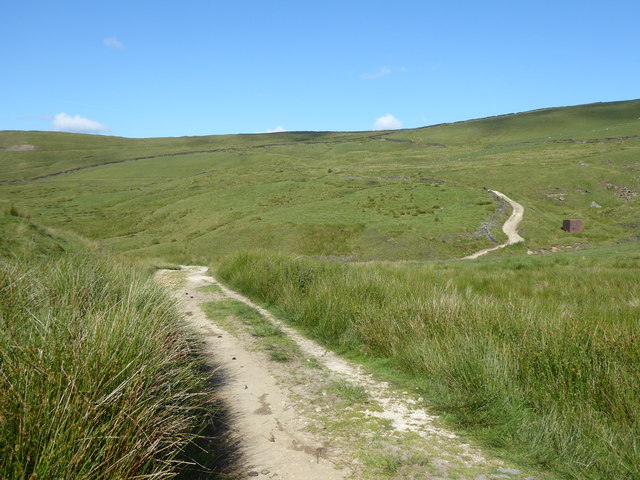
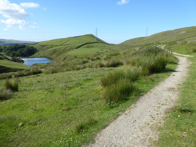
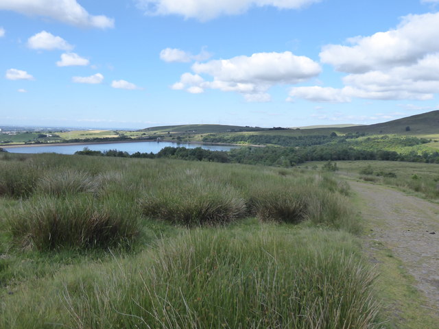
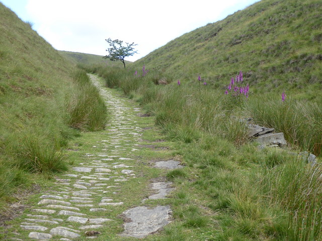
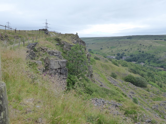
Horse Pasture Clough is a picturesque valley located in Lancashire, England. Situated in the West Pennine Moors, this stunning landscape is a haven for nature enthusiasts and outdoor adventurers alike.

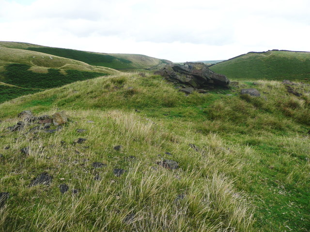
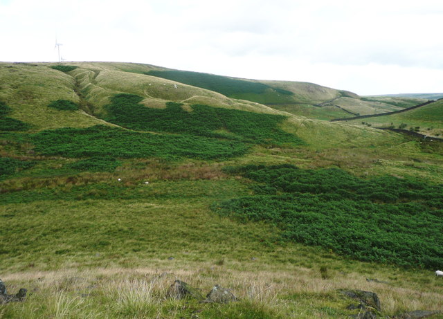
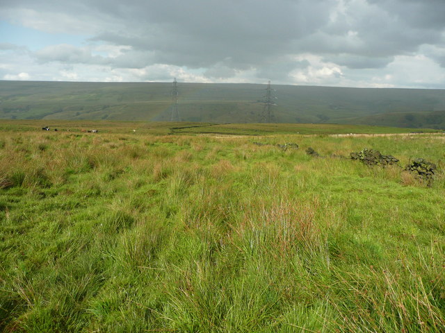
The valley is characterized by its rolling hills, lush green meadows, and dense woodlands. It is home to a diverse range of flora and fauna, including several rare and protected species. The area is known for its rich biodiversity and is a designated Site of Special Scientific Interest.

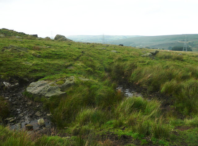
Horse Pasture Clough offers a variety of activities for visitors to enjoy. Hiking and walking trails wind through the valley, providing opportunities to explore the scenic surroundings and discover hidden gems along the way. The trails cater to all levels of fitness and offer breathtaking views of the surrounding countryside.

The valley is also a popular destination for horse riding. With its vast open spaces and well-maintained bridleways, it provides an ideal setting for equestrian enthusiasts to enjoy a leisurely ride or engage in more challenging equestrian activities.

For those seeking a peaceful retreat, Horse Pasture Clough offers several picnic spots and tranquil areas to relax and soak in the beauty of nature. The valley is also home to a variety of wildlife, including deer, birds, and small mammals, making it a paradise for birdwatchers and wildlife enthusiasts.

Overall, Horse Pasture Clough is a stunning valley in Lancashire that offers a perfect blend of natural beauty and recreational activities. Whether you are an avid hiker, horse rider, or simply someone looking to escape the hustle and bustle of city life, this valley is a must-visit destination.

If you have any feedback on the listing, please let us know in the comments section below.

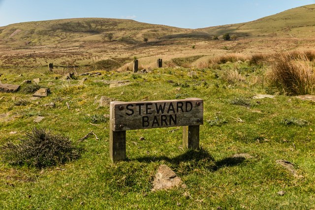
Horse Pasture Clough Images

Images are sourced within 2km of 53.677389/-2.1171789 or Grid Reference SD9220. Thanks to Geograph Open Source API. All images are credited.

Shore Moor Crook Hill Wind Farm on Shore Moor.
Shore Moor
Crook Hill Wind Farm on Shore Moor.
Steward Barn The remains of Steward Barn above Watergrove Reservoir.
Steward Barn
The remains of Steward Barn above Watergrove Reservoir.
Higher Slack Brook Higher Slack Brook above Watergrove Reservoir.
Higher Slack Brook
Higher Slack Brook above Watergrove Reservoir.
The summit of Cuckoo Hill, Littleborough A nice little hill, without a spot height on the map, but a little over 325m.
The summit of Cuckoo Hill, Littleborough
A nice little hill, without a spot height on the map, but a little over 325m.
View from Cuckoo Hill, Littleborough A path climbs up Allenden Hill, which is 50m higher than Cuckoo Hill, but does not have a proper summit.
View from Cuckoo Hill, Littleborough
A path climbs up Allenden Hill, which is 50m higher than Cuckoo Hill, but does not have a proper summit.
Path along the edge of the moor, Littleborough The area on the left side of the hill is Pasture House Plantation, although there are not many trees at present. It is part of what used to be Calderbrook Moor but was enclosed by 1850.
Path along the edge of the moor, Littleborough
The area on the left side of the hill is Pasture House Plantation, although there are not many trees at present. It is part of what used to be Calderbrook Moor but was enclosed by 1850.
The infant Owler Clough, next to the Rochdale Way
The Rochdale Way crossing a stream near Ferny Hill This is where the rain started, banishing thoughts of taking photographs of the rocks.
The Rochdale Way crossing a stream near Ferny Hill
This is where the rain started, banishing thoughts of taking photographs of the rocks.
Not quite on the Rochdale Way, Walsden After passing the Ferny Hill rocks I lost the footpath, so headed for the intake wall and picked my way through the rushes. The shower of rain has finished here and is crossing the valley in the distance.
Not quite on the Rochdale Way, Walsden
After passing the Ferny Hill rocks I lost the footpath, so headed for the intake wall and picked my way through the rushes. The shower of rain has finished here and is crossing the valley in the distance.
The Pennine Bridleway and Reddyshaw Scout, Walsden A 'scout' is the top of a very steep hillside, giving a view over the valley. The lumpy hills below might be spoil from the construction of the railway tunnel.
The Pennine Bridleway and Reddyshaw Scout, Walsden
A 'scout' is the top of a very steep hillside, giving a view over the valley. The lumpy hills below might be spoil from the construction of the railway tunnel.
The Pennine Bridleway joining the driveway to Reddyshore Farm, Walsden The bridleway on Reddyshaw Scout Gate comes in from the left, and from the junction the driveway is an adopted highway, at least as far as the Rochdale boundary.
The Pennine Bridleway joining the driveway to Reddyshore Farm, Walsden
The bridleway on Reddyshaw Scout Gate comes in from the left, and from the junction the driveway is an adopted highway, at least as far as the Rochdale boundary.
Old Boundary Marker on Stubley Cross Hill, Todmorden Parish Parish Boundary Marker in parish of Todmorden (Calderdale District), Stubley Cross Hill, 700m south east of Long Causeway Path.

Surveyed

Milestone Society National ID: YW_TODLIT03pb
Old Boundary Marker on Stubley Cross Hill, Todmorden Parish
Parish Boundary Marker in parish of Todmorden (Calderdale District), Stubley Cross Hill, 700m south east of Long Causeway Path. Surveyed Milestone Society National ID: YW_TODLIT03pb
The Pennine Bridleway Mary Towneley loop near Stansfield Hill
The Pennine Bridleway Mary Towneley loop near Turn Slack Clough
The Pennine Bridleway Mary Towneley loop near Dobbin Hill
The Pennine Bridleway Mary Towneley loop near Watergrove Reservoir
The Pennine Bridleway Mary Towneley loop near Reddyshore
Show me another place!

Horse Pasture Clough is located at Grid Ref: SD9220 (Lat: 53.677389, Lng: -2.1171789)

Unitary Authority: Calderdale

Police Authority: West Yorkshire

What 3 Words

///declares.extremely.stall. Near Walsden, West Yorkshire

Related Wikis

Summit Tunnel

Summit Tunnel in England is one of the world's oldest railway tunnels. It was constructed between 1838 and 1841 by the Manchester and Leeds Railway Company...

Summit Tunnel fire

The Summit Tunnel fire occurred on 20 December 1984, when a dangerous goods train caught fire while passing through the Summit Tunnel on the railway line...

Walsden

Walsden (; WOLZ-dən) is a large village in the civil parish of Todmorden in the Metropolitan Borough of Calderdale, West Yorkshire, England. It was historically...

Walsden railway station

Walsden railway station (; WOLZ-dən) serves the village of Walsden, Todmorden in West Yorkshire, England, on the edge of the Pennines. It is served by...

Nearby Amenities

Located within 500m of 53.677389,-2.1171789
Generator Method: wind_turbine
Generator Output Electricity: yes
Generator Source: wind
Generator Type: horizontal_axis
Power: generator
Source: survey
Source Geometry: DigitalGlobe-Standard
Lat/Long: 53.6738516/-2.1129685
The data included in this document is from www.openstreetmap.org. The data is made available under ODbL.

Have you been to Horse Pasture Clough?

Leave your review of Horse Pasture Clough below (or comments, questions and feedback).