Cranberry Moss
Downs, Moorland in Lancashire
England
Cranberry Moss

Cranberry Moss is a picturesque area located in Lancashire, England, known for its stunning downs and moorland landscapes. Situated in the northwestern part of the county, it is a popular destination for nature enthusiasts and hikers seeking to experience the beauty of the British countryside.
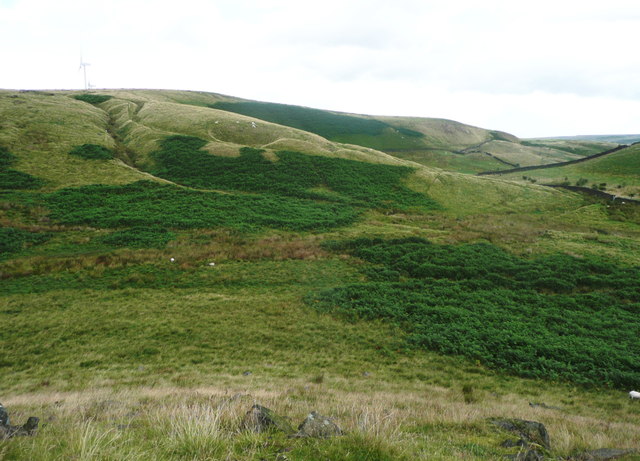
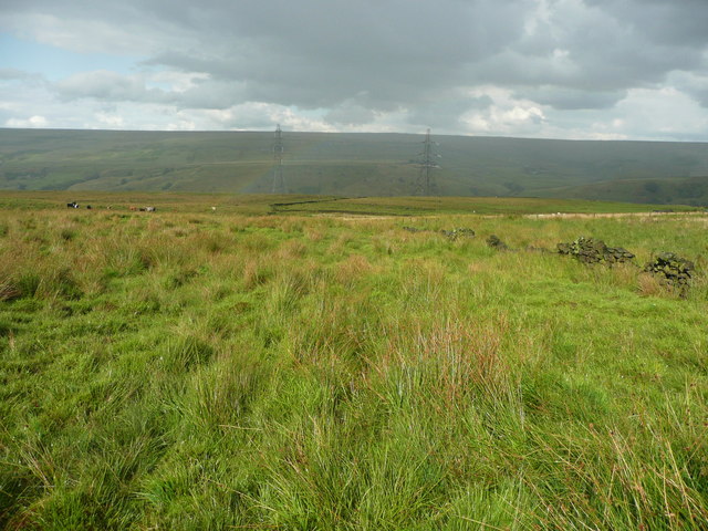
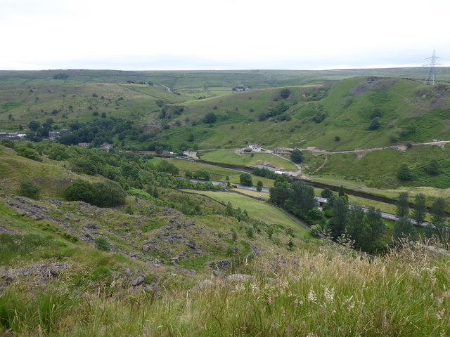
The downs of Cranberry Moss feature rolling hills covered in vibrant green grass and dotted with colorful wildflowers during the spring and summer months. This creates a stunning visual display, attracting photographers and artists looking to capture the natural beauty of the area. The downs also offer breathtaking panoramic views of the surrounding countryside, providing visitors with a sense of tranquility and peace.
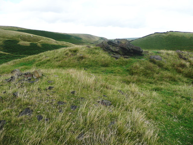
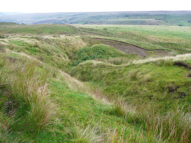
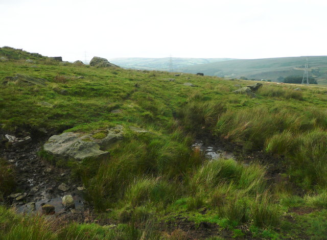
The moorland of Cranberry Moss adds another layer of beauty to the landscape. Covered in heather and scattered with rocky outcrops, it provides a unique habitat for a variety of wildlife, including birds, insects, and small mammals. The moorland is also home to several species of plants and flowers that are adapted to thrive in this harsh environment.
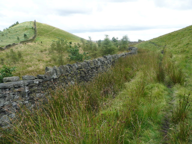
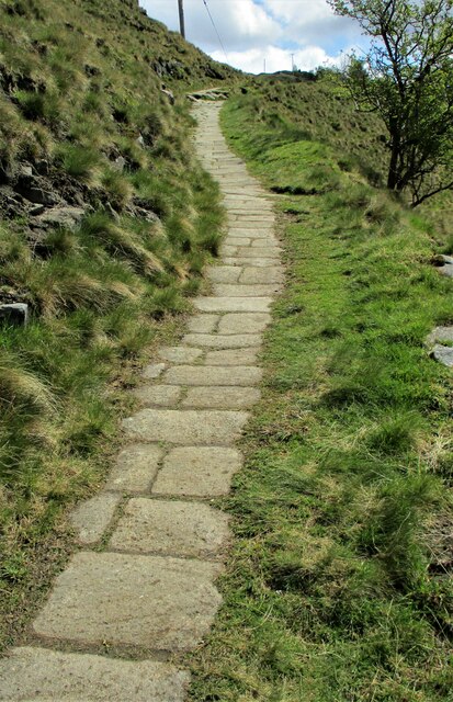
Visitors to Cranberry Moss can explore the area by following a network of well-maintained footpaths and trails that wind through the downs and moorland. These paths offer opportunities for both leisurely strolls and more challenging hikes, catering to a range of fitness levels and interests.
Overall, Cranberry Moss in Lancashire is a stunning location that showcases the natural beauty of the English countryside. Whether it's the rolling downs or the rugged moorland, this area is a must-visit for anyone looking to immerse themselves in the splendor of nature.
If you have any feedback on the listing, please let us know in the comments section below.
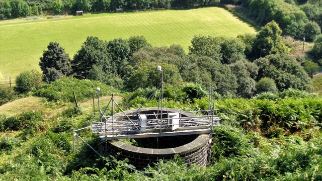
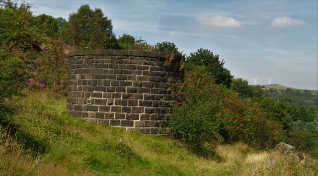
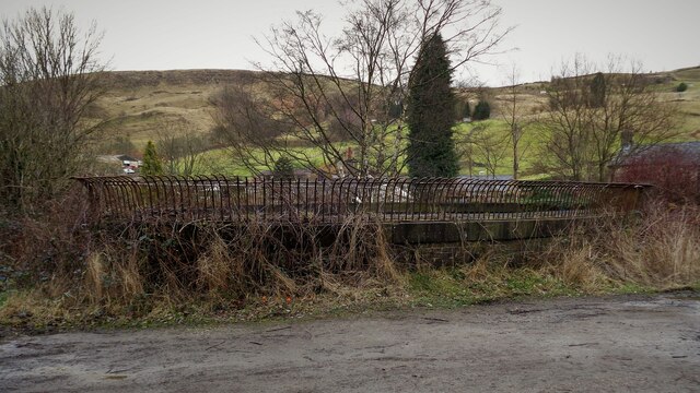
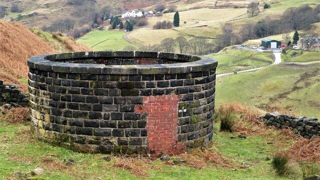
Cranberry Moss Images
Images are sourced within 2km of 53.679367/-2.1167756 or Grid Reference SD9220. Thanks to Geograph Open Source API. All images are credited.
Cranberry Moss is located at Grid Ref: SD9220 (Lat: 53.679367, Lng: -2.1167756)
Unitary Authority: Calderdale
Police Authority: West Yorkshire
What 3 Words
///uppermost.answers.surely. Near Walsden, West Yorkshire
Nearby Locations
Related Wikis

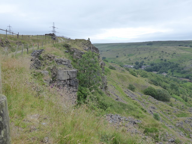
Summit Tunnel
Summit Tunnel in England is one of the world's oldest railway tunnels. It was constructed between 1838 and 1841 by the Manchester and Leeds Railway Company...

Summit Tunnel fire
The Summit Tunnel fire occurred on 20 December 1984, when a dangerous goods train caught fire while passing through the Summit Tunnel on the railway line...

Walsden
Walsden (; WOLZ-dən) is a large village in the civil parish of Todmorden in the Metropolitan Borough of Calderdale, West Yorkshire, England. It was historically...

Walsden railway station
Walsden railway station (; WOLZ-dən) serves the village of Walsden, Todmorden in West Yorkshire, England, on the edge of the Pennines. It is served by...
Have you been to Cranberry Moss?
Leave your review of Cranberry Moss below (or comments, questions and feedback).