Red Braes
Downs, Moorland in Northumberland
England
Red Braes
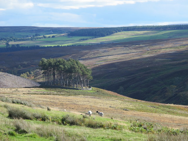
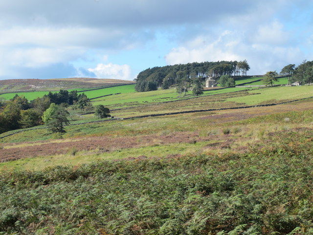
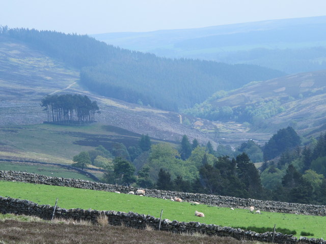
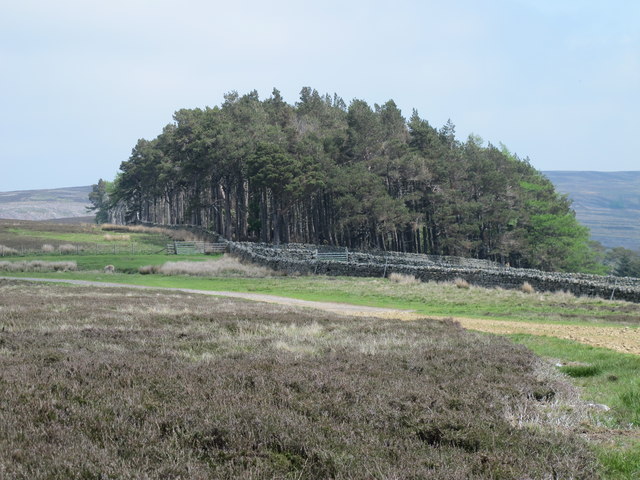
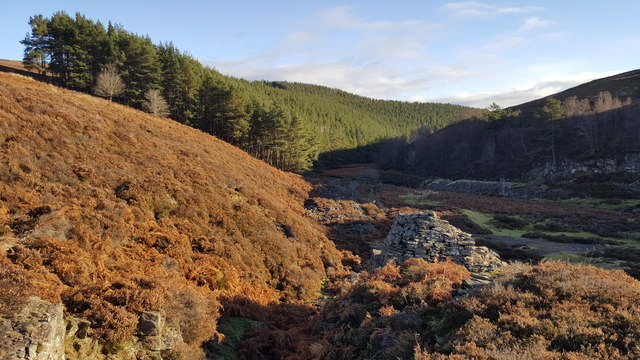
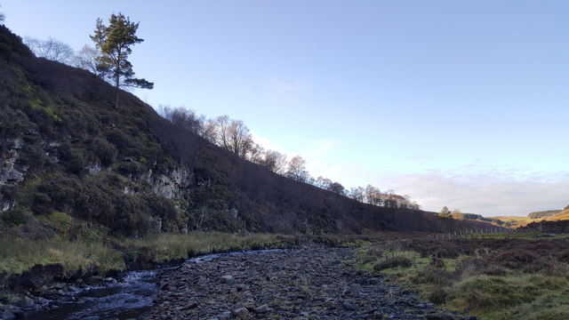
Red Braes is a picturesque area located in Northumberland, England. Situated between the Downs and Moorland, it offers visitors a unique and diverse landscape to explore. The region is characterized by its rolling hills, vibrant green pastures, and stunning views of the surrounding countryside.
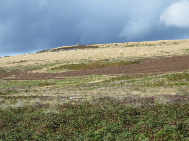
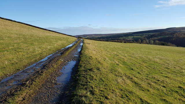
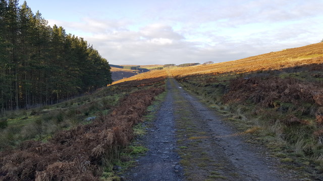
The Downs in Red Braes are known for their gentle slopes and wide open spaces, making them ideal for leisurely walks and picnics. The area is abundant with wildlife, including various bird species, making it popular among birdwatchers and nature enthusiasts. The Downs also boast a network of well-maintained trails, allowing visitors to easily explore the area and take in the breathtaking scenery.
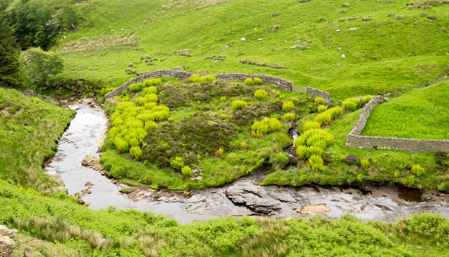
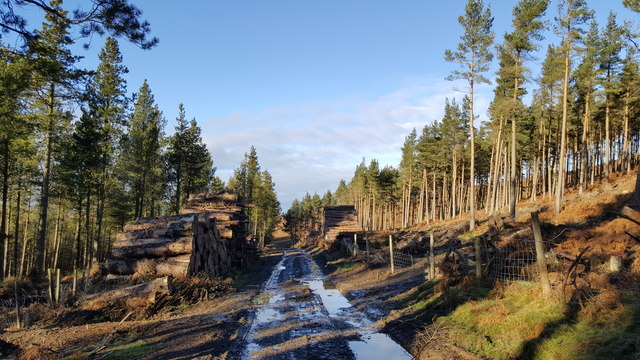
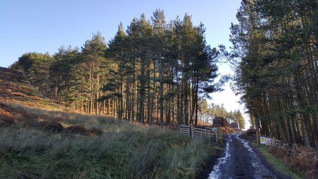
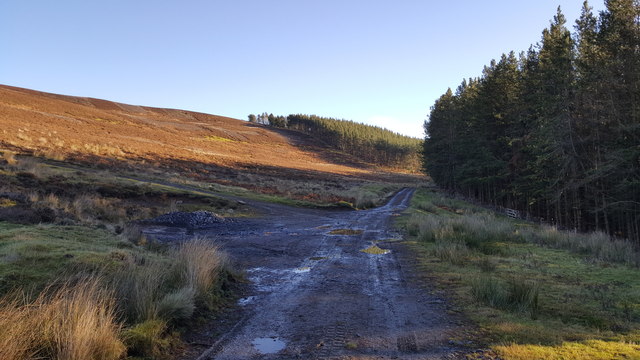
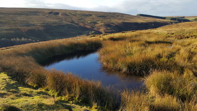
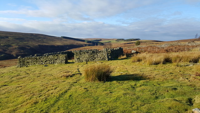
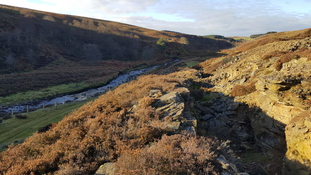
On the other hand, the Moorland in Red Braes offers a more rugged and untamed landscape. Its vast expanse of heather-covered hills and rocky outcrops create a sense of wilderness and adventure. Hikers and outdoor enthusiasts can enjoy challenging treks through the Moorland, discovering hidden valleys and streams along the way. The area is also home to a rich diversity of plant and animal species, some of which are unique to this region.
Red Braes, Northumberland, provides visitors with a perfect blend of tranquility and natural beauty. Whether you prefer exploring the gentle slopes of the Downs or venturing into the untamed Moorland, this area offers something for everyone. With its picturesque vistas, abundant wildlife, and well-maintained trails, Red Braes is a must-visit destination for nature lovers and outdoor enthusiasts alike.
If you have any feedback on the listing, please let us know in the comments section below.
Red Braes Images
Images are sourced within 2km of 54.841382/-2.1199423 or Grid Reference NY9249. Thanks to Geograph Open Source API. All images are credited.
Red Braes is located at Grid Ref: NY9249 (Lat: 54.841382, Lng: -2.1199423)
Unitary Authority: Northumberland
Police Authority: Northumbria
What 3 Words
///whimpered.helper.vision. Near Slaley, Northumberland
Nearby Locations
Related Wikis

Beldon Burn
Beldon Burn is a headwater stream of the River Derwent in Northumberland and County Durham, England.It rises at Quickcleugh Moss as the Quickcleugh Burn...

Townfield
Townfield is a village in County Durham, in England. It is situated just to the south of Hunstanworth and part of that parish, about 10 miles (16 km) west...
Baybridge, Northumberland
Baybridge is a small village in Northumberland, England, just to the west of Blanchland and on the border with County Durham. It is situated to the west...
Ramshaw, Consett
Ramshaw is a small village in County Durham, in England. It is situated to the south of Hunstanworth, a few miles west of Consett. Lead mining was an important...

Hunstanworth
Hunstanworth is a village in County Durham, England. It is situated approximately 10 miles to the west of Consett, south-west of the village of Blanchland...

Blanchland Abbey
Blanchland Abbey at Blanchland, in the English county of Northumberland, was founded as a premonstratensian priory in 1165 by Walter de Bolbec II, and...

Blanchland
Blanchland is a village in Northumberland, England, on the County Durham boundary. The population of the civil parish at the 2011 census was 135.Set beside...

Hexhamshire Moors
Hexhamshire Moors is a Site of Special Scientific Interest covering an extensive area of moorland in the Wear Valley district of north-west County Durham...
Have you been to Red Braes?
Leave your review of Red Braes below (or comments, questions and feedback).