Gorpley Clough
Valley in Lancashire
England
Gorpley Clough
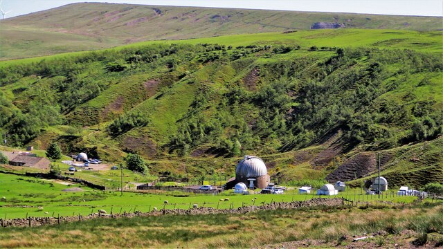
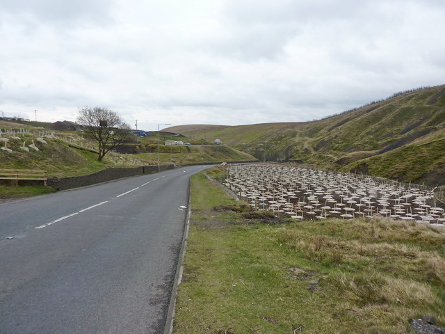
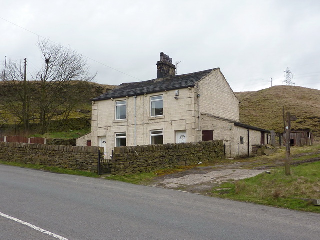
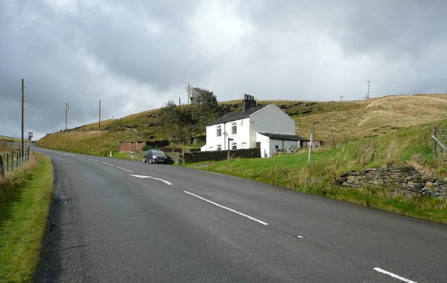
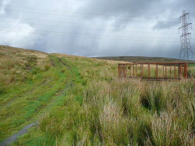
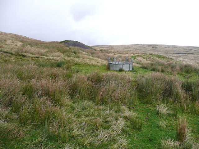
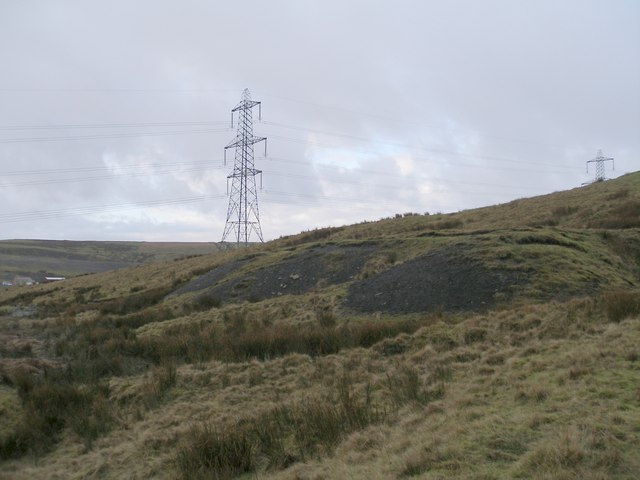
Gorpley Clough is a picturesque valley located in the county of Lancashire, England. Nestled in the South Pennines, it offers visitors a tranquil escape into the heart of nature. The valley is known for its breathtaking beauty, with rolling hills, lush greenery, and a meandering stream that runs through its center.
The landscape of Gorpley Clough is dominated by a mix of heather moorland and ancient woodlands, providing a diverse habitat for a wide range of flora and fauna. Visitors can expect to encounter various species of birds, such as curlews and lapwings, as well as small mammals like rabbits and voles. The valley is also home to an abundance of plant life, including bilberries, heather, and mosses.
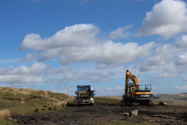
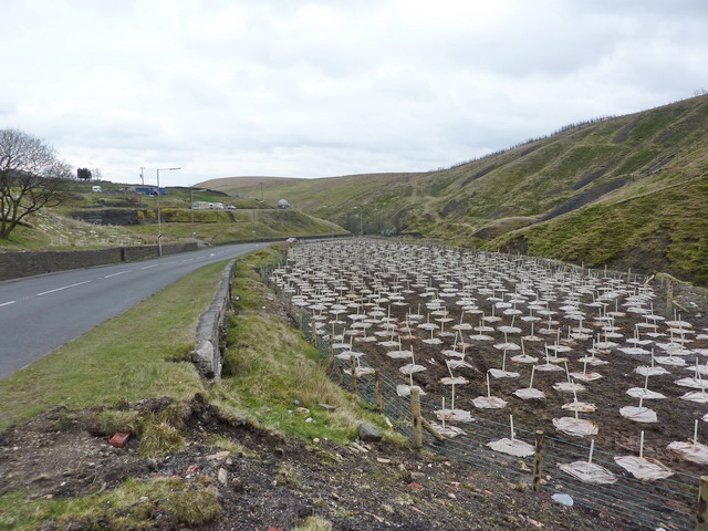
Walking trails crisscross the valley, offering visitors the opportunity to explore its natural wonders. The most popular route takes hikers along the clough, offering stunning views of the surrounding hillsides and the chance to spot wildlife along the way. For those seeking a more challenging adventure, the nearby Pennine Way provides an opportunity to traverse the entire length of the valley.
Gorpley Clough is a popular destination for nature enthusiasts, photographers, and those simply looking to escape the hustle and bustle of everyday life. The valley's tranquil atmosphere and breathtaking scenery make it an ideal place for relaxation and rejuvenation. Whether you're an avid hiker or simply enjoy the beauty of the outdoors, Gorpley Clough is a must-visit destination in Lancashire.
If you have any feedback on the listing, please let us know in the comments section below.
Gorpley Clough Images
Images are sourced within 2km of 53.706587/-2.1307275 or Grid Reference SD9123. Thanks to Geograph Open Source API. All images are credited.
Gorpley Clough is located at Grid Ref: SD9123 (Lat: 53.706587, Lng: -2.1307275)
Unitary Authority: Calderdale
Police Authority: West Yorkshire
What 3 Words
///doll.nicknames.unearthly. Near Walsden, West Yorkshire
Nearby Locations
Related Wikis

Dobroyd Castle
Dobroyd Castle is an important historic building above the town of Todmorden, West Yorkshire, England. It was built for John Fielden, local mill owner...

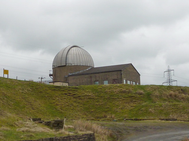
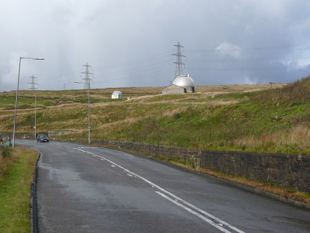
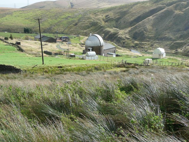
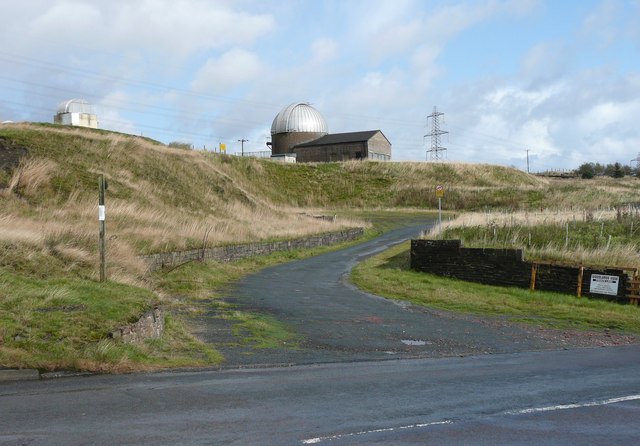
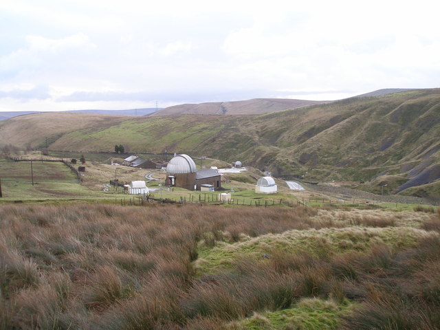
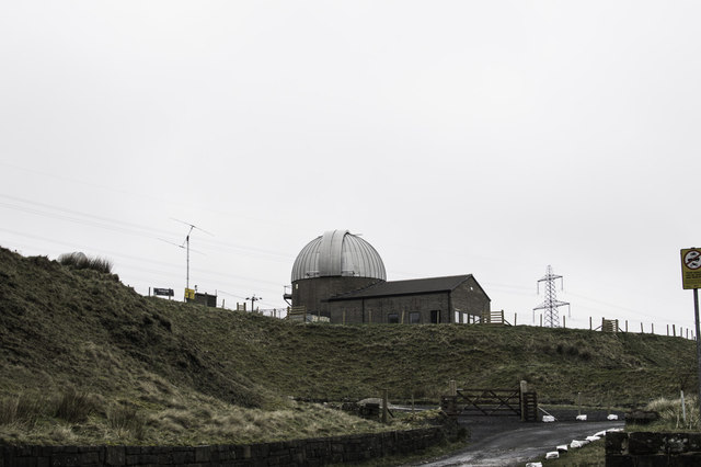
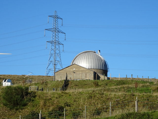
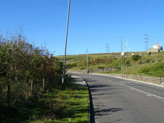
Astronomy Centre
The Astronomy Centre, also known as the Amateur Astronomy Centre, is an astronomical observatory located in northern England which is run by experienced...

Todmorden War Memorial
Todmorden War Memorial is a war memorial located in Todmorden, West Yorkshire, England.The memorial is in the garden of remembrance in Centre Vale Park...

Walsden railway station
Walsden railway station (; WOLZ-dən) serves the village of Walsden, Todmorden in West Yorkshire, England, on the edge of the Pennines. It is served by...
Todmorden High School
Todmorden High School is a comprehensive school in the town of Todmorden, Calderdale LEA, West Yorkshire, England. == Admissions == Todmorden High School...

Todmorden Unitarian Church
Todmorden Unitarian Church is a Unitarian church located in Honey Hole Road, Todmorden, West Yorkshire, England (grid reference SD935239). Built in honour...

Todmorden railway station
Todmorden railway station serves the town of Todmorden in West Yorkshire, England, originally on the Yorkshire and Lancashire border. It was built by the...
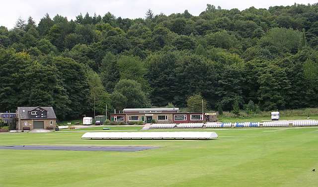
Todmorden Cricket Club
Todmorden Cricket Club is a cricket club in the Lancashire League, which plays its home games at Centre Vale in Todmorden, West Yorkshire. Until the administrative...
Nearby Amenities
Located within 500m of 53.706587,-2.1307275Have you been to Gorpley Clough?
Leave your review of Gorpley Clough below (or comments, questions and feedback).