Mellings Wood
Wood, Forest in Lancashire
England
Mellings Wood
Mellings Wood is a picturesque forest located in the county of Lancashire, England. Covering an expansive area of approximately 200 acres, it provides a tranquil and serene environment for nature lovers and outdoor enthusiasts alike.
The wood is predominantly made up of native broadleaf trees, including oak, beech, and birch, which create a rich and diverse ecosystem. The dense canopy of these trees offers shade and shelter, creating a cool and refreshing atmosphere even during hot summer days.
Mellings Wood is home to a wide variety of wildlife, including deer, foxes, and various species of birds. The forest provides a safe habitat for these animals, allowing them to thrive in their natural environment. Birdwatchers will be delighted to spot species such as woodpeckers, thrushes, and owls within the wood's boundaries.
The forest boasts several well-maintained walking trails, which allow visitors to explore its beauty while immersing themselves in nature. These paths meander through the wood, offering glimpses of enchanting wildflowers, babbling brooks, and hidden glades. The peaceful ambiance and the sounds of birdsong make walking through Mellings Wood a truly rejuvenating experience.
Additionally, the wood is a popular destination for picnics and family outings. Visitors can find designated picnic areas with benches and tables, providing a perfect spot to enjoy a packed lunch while surrounded by the tranquility of nature.
Mellings Wood is easily accessible, with ample parking facilities available nearby. Its natural beauty, diverse wildlife, and peaceful ambiance make it a must-visit destination for anyone seeking solace in the heart of Lancashire.
If you have any feedback on the listing, please let us know in the comments section below.
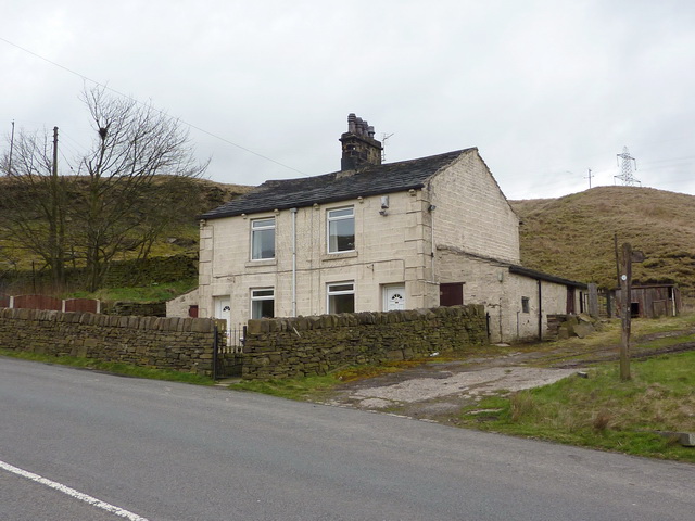
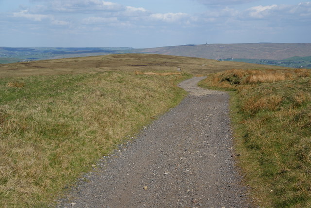
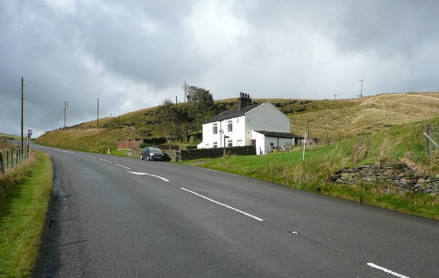
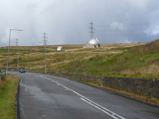
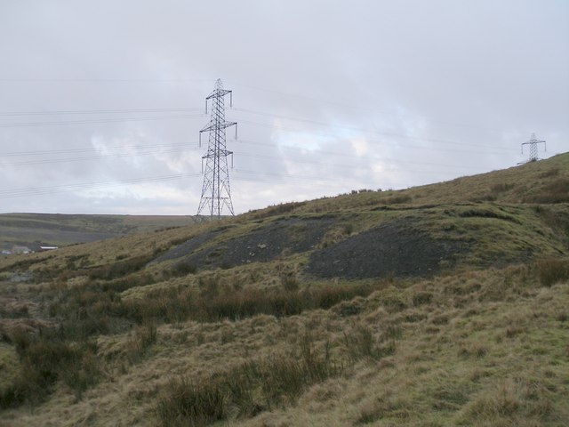
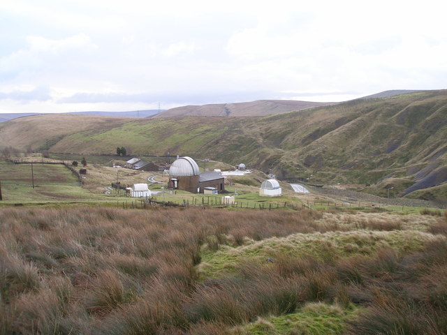
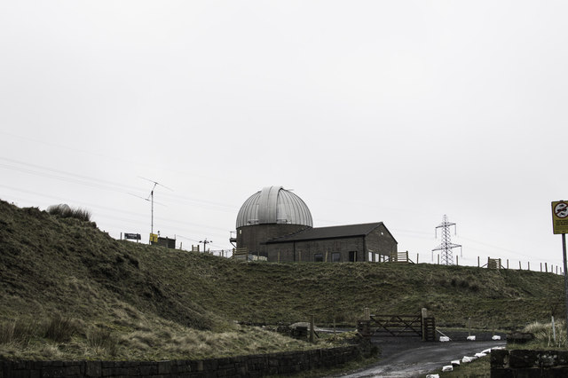
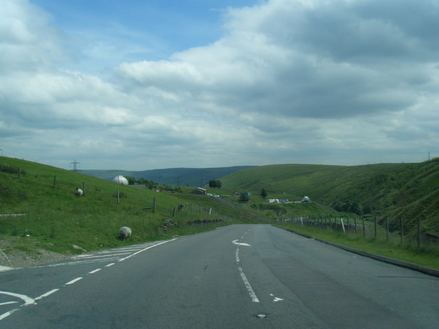
Mellings Wood Images
Images are sourced within 2km of 53.711189/-2.1303024 or Grid Reference SD9123. Thanks to Geograph Open Source API. All images are credited.
Mellings Wood is located at Grid Ref: SD9123 (Lat: 53.711189, Lng: -2.1303024)
Unitary Authority: Calderdale
Police Authority: West Yorkshire
What 3 Words
///flagging.loafing.sulk. Near Todmorden, West Yorkshire
Nearby Locations
Related Wikis

Dobroyd Castle
Dobroyd Castle is an important historic building above the town of Todmorden, West Yorkshire, England. It was built for John Fielden, local mill owner...

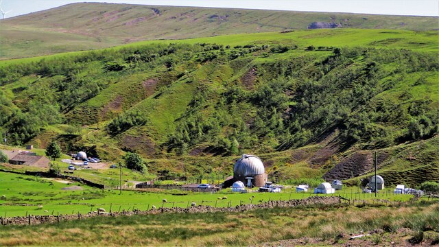
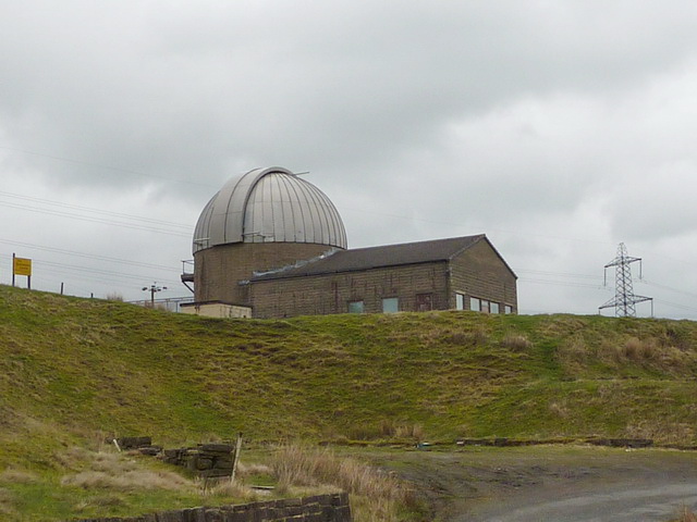
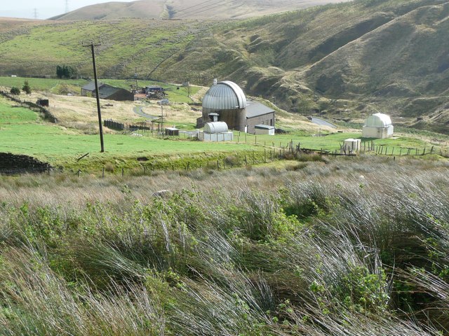
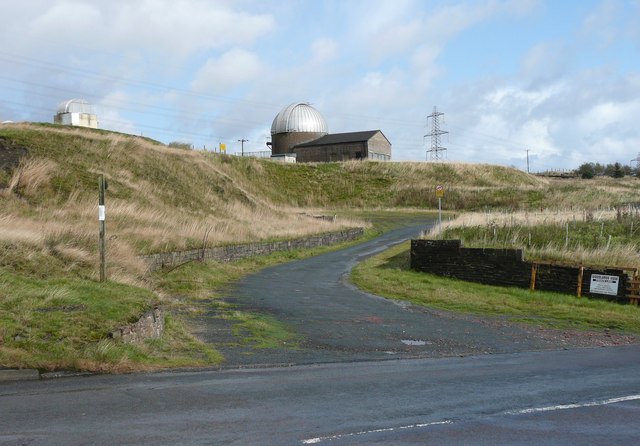
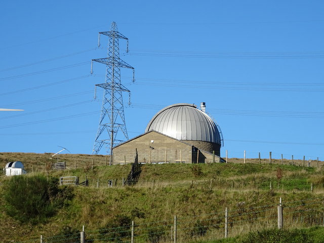
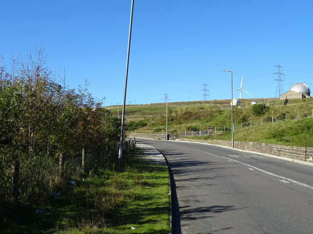
Astronomy Centre
The Astronomy Centre, also known as the Amateur Astronomy Centre, is an astronomical observatory located in northern England which is run by experienced...

Todmorden War Memorial
Todmorden War Memorial is a war memorial located in Todmorden, West Yorkshire, England.The memorial is in the garden of remembrance in Centre Vale Park...
Todmorden High School
Todmorden High School is a comprehensive school in the town of Todmorden, Calderdale LEA, West Yorkshire, England. == Admissions == Todmorden High School...
Mons Mill, Todmorden
Mons Mill, Todmorden, is a former cotton spinning mill in Todmorden, Calderdale, West Yorkshire, England built for the Hare Spinning Company Limited. It...

Todmorden railway station
Todmorden railway station serves the town of Todmorden in West Yorkshire, England, originally on the Yorkshire and Lancashire border. It was built by the...
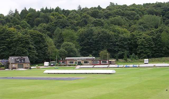
Todmorden Cricket Club
Todmorden Cricket Club is a cricket club in the Lancashire League, which plays its home games at Centre Vale in Todmorden, West Yorkshire. Until the administrative...

Todmorden Unitarian Church
Todmorden Unitarian Church is a Unitarian church located in Honey Hole Road, Todmorden, West Yorkshire, England (grid reference SD935239). Built in honour...
Nearby Amenities
Located within 500m of 53.711189,-2.1303024Have you been to Mellings Wood?
Leave your review of Mellings Wood below (or comments, questions and feedback).