Stones Wood
Wood, Forest in Lancashire
England
Stones Wood
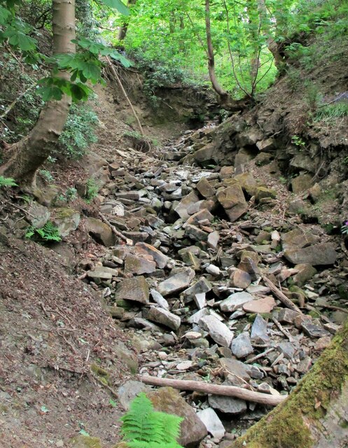
Stones Wood is a picturesque woodland located in the county of Lancashire, England. Nestled in the heart of the Forest of Bowland, it covers an area of approximately 50 acres and boasts a diverse range of flora and fauna.
The woodland is characterized by its dense canopy of trees, predominantly consisting of oak, beech, and birch, which create a tranquil and serene atmosphere. The forest floor is adorned with a rich carpet of bluebells, wild garlic, and ferns, adding to the natural beauty of the area.
Stones Wood is a haven for wildlife enthusiasts, as it is home to a variety of animal species. Visitors may spot roe deer, foxes, badgers, and a myriad of bird species, including woodpeckers, owls, and songbirds. The wood provides a vital habitat for these creatures, offering shelter, food, and nesting sites.
For nature lovers, the woodland offers a plethora of recreational activities. There are several well-marked trails that wind through the forest, allowing visitors to explore its hidden gems. These paths are suitable for both leisurely strolls and more strenuous hikes, catering to all fitness levels.
Stones Wood is also a popular spot for picnics and family outings. There are designated picnic areas with benches and tables, providing a perfect setting to relax and enjoy the peaceful surroundings. Additionally, the wood has a small play area for children, complete with swings and climbing frames.
Overall, Stones Wood is a captivating destination for those seeking a tranquil escape amidst nature. Its natural beauty, diverse wildlife, and recreational opportunities make it a cherished gem within the Lancashire countryside.
If you have any feedback on the listing, please let us know in the comments section below.
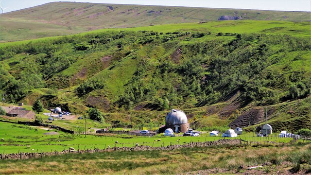
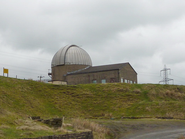
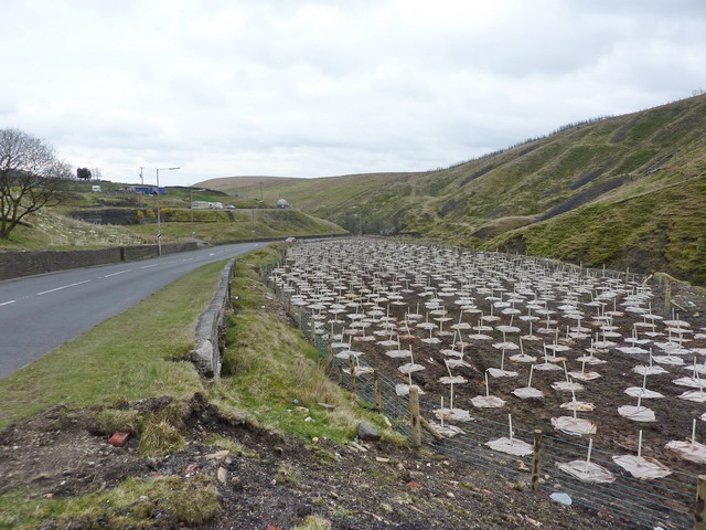
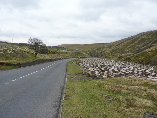
Stones Wood Images
Images are sourced within 2km of 53.709379/-2.1251156 or Grid Reference SD9123. Thanks to Geograph Open Source API. All images are credited.


Stones Wood is located at Grid Ref: SD9123 (Lat: 53.709379, Lng: -2.1251156)
Unitary Authority: Calderdale
Police Authority: West Yorkshire
What 3 Words
///plankton.evaded.crossings. Near Todmorden, West Yorkshire
Nearby Locations
Related Wikis

Dobroyd Castle
Dobroyd Castle is an important historic building above the town of Todmorden, West Yorkshire, England. It was built for John Fielden, local mill owner...

Todmorden War Memorial
Todmorden War Memorial is a war memorial located in Todmorden, West Yorkshire, England.The memorial is in the garden of remembrance in Centre Vale Park...

Todmorden High School
Todmorden High School is a comprehensive school in the town of Todmorden, Calderdale LEA, West Yorkshire, England. == Admissions == Todmorden High School...

Todmorden Unitarian Church
Todmorden Unitarian Church is a Unitarian church located in Honey Hole Road, Todmorden, West Yorkshire, England (grid reference SD935239). Built in honour...

Todmorden railway station
Todmorden railway station serves the town of Todmorden in West Yorkshire, England, originally on the Yorkshire and Lancashire border. It was built by the...
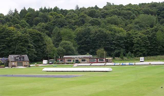
Todmorden Cricket Club
Todmorden Cricket Club is a cricket club in the Lancashire League, which plays its home games at Centre Vale in Todmorden, West Yorkshire. Until the administrative...
Mons Mill, Todmorden
Mons Mill, Todmorden, is a former cotton spinning mill in Todmorden, Calderdale, West Yorkshire, England built for the Hare Spinning Company Limited. It...

Todmorden Town Hall
Todmorden Town Hall is a municipal building in Halifax Road, Todmorden, West Yorkshire, England. The town hall, which is the meeting place of Todmorden...
Nearby Amenities
Located within 500m of 53.709379,-2.1251156Have you been to Stones Wood?
Leave your review of Stones Wood below (or comments, questions and feedback).