Gorpley Wood
Wood, Forest in Lancashire
England
Gorpley Wood
Gorpley Wood is a stunning forest located in the county of Lancashire, England. Spanning over a vast area, this woodland is a haven for nature enthusiasts and outdoor adventurers alike. The wood is situated near the rural village of Worsthorne, just a few miles away from the bustling town of Burnley.
Gorpley Wood is characterized by its diverse range of flora and fauna, making it an important ecological site. The forest is primarily composed of broadleaf trees, including oak, beech, and birch. These towering trees provide a lush canopy that offers shade and shelter to the woodland floor below.
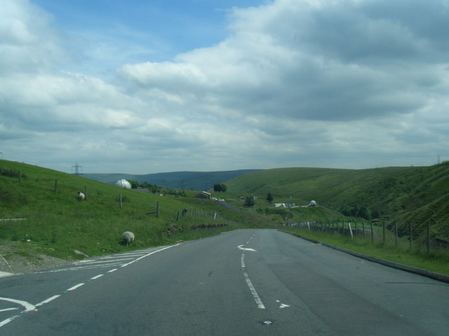
The woodland is crisscrossed by a network of well-maintained walking trails, allowing visitors to explore its natural beauty at their own pace. These trails meander through the forest, leading to picturesque viewpoints, babbling brooks, and serene ponds. The area is also home to a variety of wildlife, such as deer, squirrels, and numerous bird species, making it a popular destination for birdwatchers.
Gorpley Wood is not only a haven for nature lovers but also a place of historical significance. The forest is dotted with ancient remains, including Bronze Age burial mounds and remnants of old charcoal pits, providing a glimpse into the area's rich past.
The wood is easily accessible, with ample parking facilities and well-marked signposts guiding visitors to its entrance. Its tranquil atmosphere and stunning surroundings make Gorpley Wood a must-visit destination for those seeking a peaceful retreat in the heart of Lancashire's natural beauty.
If you have any feedback on the listing, please let us know in the comments section below.
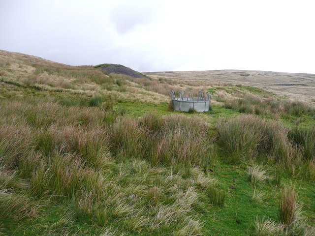
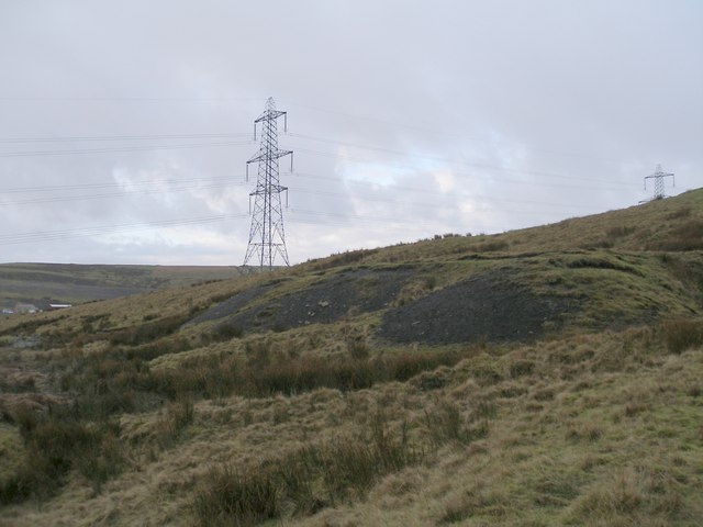
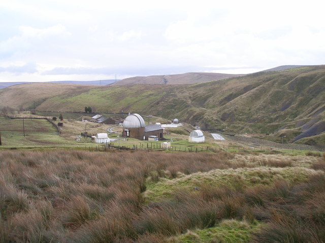
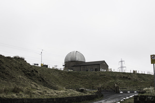
Gorpley Wood Images
Images are sourced within 2km of 53.707109/-2.129396 or Grid Reference SD9123. Thanks to Geograph Open Source API. All images are credited.


Gorpley Wood is located at Grid Ref: SD9123 (Lat: 53.707109, Lng: -2.129396)
Unitary Authority: Calderdale
Police Authority: West Yorkshire
What 3 Words
///punctured.again.informal. Near Todmorden, West Yorkshire
Nearby Locations
Related Wikis

Dobroyd Castle
Dobroyd Castle is an important historic building above the town of Todmorden, West Yorkshire, England. It was built for John Fielden, local mill owner...

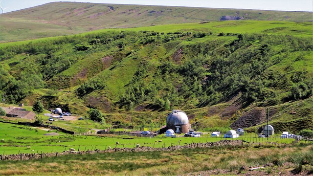
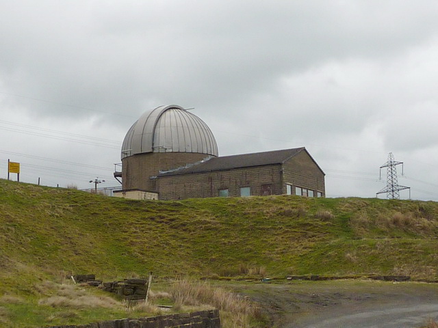
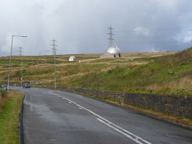
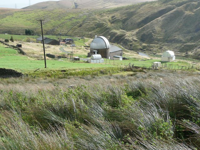
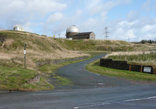
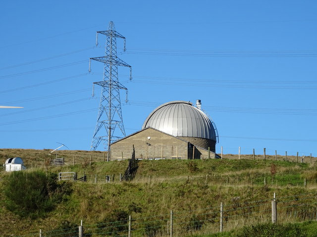
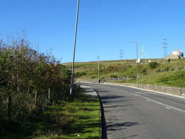
Astronomy Centre
The Astronomy Centre, also known as the Amateur Astronomy Centre, is an astronomical observatory located in northern England which is run by experienced...

Todmorden War Memorial
Todmorden War Memorial is a war memorial located in Todmorden, West Yorkshire, England.The memorial is in the garden of remembrance in Centre Vale Park...
Todmorden High School
Todmorden High School is a comprehensive school in the town of Todmorden, Calderdale LEA, West Yorkshire, England. == Admissions == Todmorden High School...

Walsden railway station
Walsden railway station (; WOLZ-dən) serves the village of Walsden, Todmorden in West Yorkshire, England, on the edge of the Pennines. It is served by...

Todmorden Unitarian Church
Todmorden Unitarian Church is a Unitarian church located in Honey Hole Road, Todmorden, West Yorkshire, England (grid reference SD935239). Built in honour...

Todmorden railway station
Todmorden railway station serves the town of Todmorden in West Yorkshire, England, originally on the Yorkshire and Lancashire border. It was built by the...
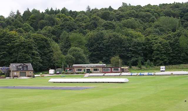
Todmorden Cricket Club
Todmorden Cricket Club is a cricket club in the Lancashire League, which plays its home games at Centre Vale in Todmorden, West Yorkshire. Until the administrative...
Nearby Amenities
Located within 500m of 53.707109,-2.129396Have you been to Gorpley Wood?
Leave your review of Gorpley Wood below (or comments, questions and feedback).