Brick Kiln Rough
Wood, Forest in Worcestershire Wychavon
England
Brick Kiln Rough

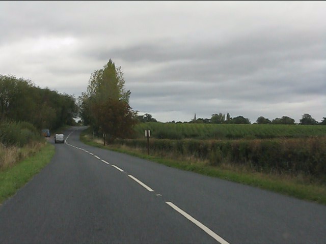
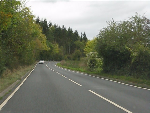
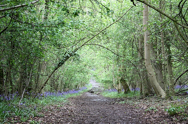
Brick Kiln Rough is a natural woodland area located in Worcestershire, England. Situated in the heart of the county, it covers an area of approximately 200 acres. The woodland is part of the larger Wyre Forest complex and is known for its diverse range of tree species and rich biodiversity.
The area is characterized by its dense woodland, with tall, mature trees dominating the landscape. The dominant tree species include oak, birch, beech, and ash, providing a habitat for a variety of bird species, small mammals, and insects. The forest floor is covered with a thick layer of leaf litter and is home to a variety of wildflowers, fungi, and mosses.
Brick Kiln Rough is intersected by several walking trails, providing visitors with the opportunity to explore the woodland and observe its natural beauty. These trails offer scenic views of the surrounding countryside and provide a peaceful and tranquil environment for walkers and nature enthusiasts.
The woodland is managed by the local authorities to preserve its natural state and protect its wildlife. Conservation efforts are focused on maintaining the diverse range of tree species and protecting the habitats of the woodland creatures. The area is also monitored for any signs of invasive species or damage caused by human activities.
Overall, Brick Kiln Rough is a picturesque woodland area that offers visitors a chance to immerse themselves in nature and enjoy the tranquility of the great outdoors. With its diverse range of flora and fauna, it is a valuable natural asset in the Worcestershire region.
If you have any feedback on the listing, please let us know in the comments section below.
Brick Kiln Rough Images
Images are sourced within 2km of 52.09487/-2.1246855 or Grid Reference SO9144. Thanks to Geograph Open Source API. All images are credited.


Brick Kiln Rough is located at Grid Ref: SO9144 (Lat: 52.09487, Lng: -2.1246855)
Administrative County: Worcestershire
District: Wychavon
Police Authority: West Mercia
What 3 Words
///partners.correct.mistaking. Near Eckington, Worcestershire
Nearby Locations
Related Wikis

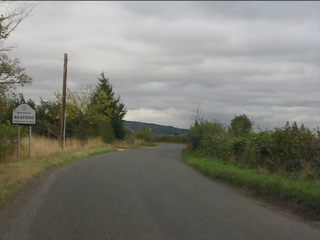
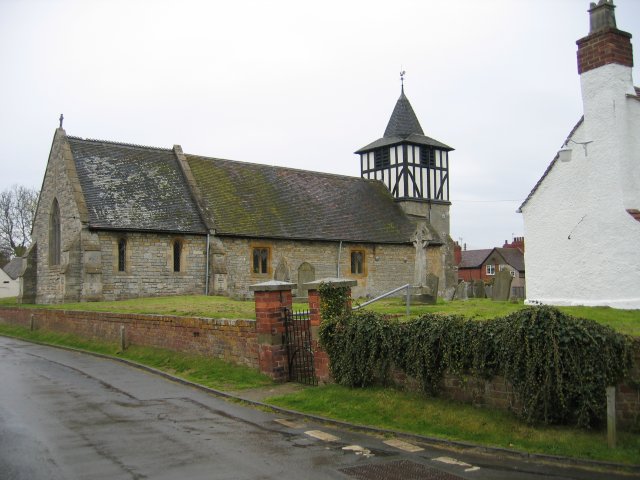
Besford
Besford is a village and civil parish in the Wychavon district of Worcestershire, England. According to the 2001 census it had a population of 147. The...
Defford
Defford is a small village in the county of Worcestershire, England, located between the towns of Pershore and Upton-upon-Severn. It was once part of...

Defford railway station
Defford railway station was a station in Defford, Worcestershire, England. The station was opened in 1840 and closed in 1965. == References == == Further... ==
RAF Defford
Royal Air Force Defford, or more simply RAF Defford, is a former Royal Air Force station located 1.1 miles (1.8 km) northwest of Defford, Worcestershire...
Besford railway station
Besford railway station served the village of Besford, Worcestershire, England, from 1841 to 1846 on the Birmingham and Gloucester Railway. == History... ==

Bow Brook
The Bow Brook is a substantial brook that flows for 28.8 miles (46.3 km) through Worcestershire, England. It is a lower tributary of the River Avon which...
Tiddesley Wood – the Harry Green Reserve
Tiddesley Wood – the Harry Green Reserve is a nature reserve of the Worcestershire Wildlife Trust. It is situated about 1 mile west of Pershore and 7 miles...

Eckington Bridge
Eckington Bridge is a stone bridge over the River Avon in Eckington in the English county of Worcestershire. It is a Grade II* listed building and has...
Nearby Amenities
Located within 500m of 52.09487,-2.1246855Have you been to Brick Kiln Rough?
Leave your review of Brick Kiln Rough below (or comments, questions and feedback).