Barewise Wood

Wood, Forest in Lancashire

England

Barewise Wood

Tramway course to Tower Clough Mine The former tramway track bed linking Tower Clough mine with Flower Scar Road
Tramway course to Tower Clough Mine Credit: Kevin Waterhouse

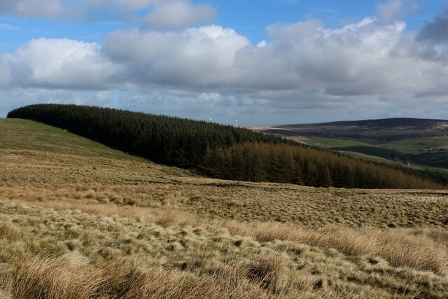
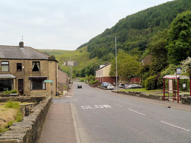
Barewise Wood is a picturesque forest located in the county of Lancashire, England. Covering an area of approximately 100 acres, this woodland is a haven of natural beauty and tranquility. Situated near the town of Clitheroe, Barewise Wood is easily accessible to both locals and tourists alike.

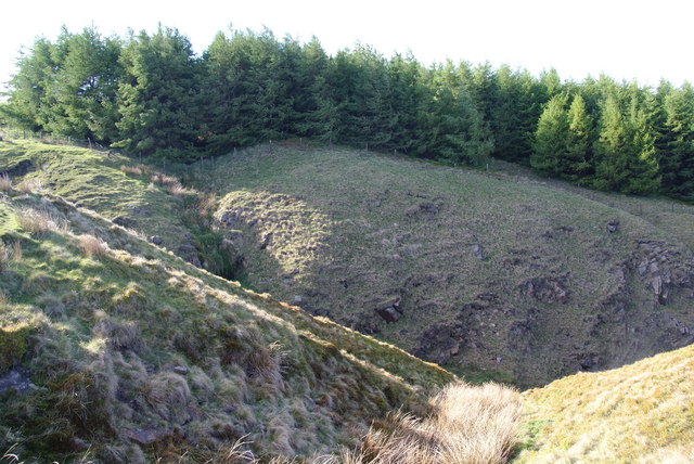
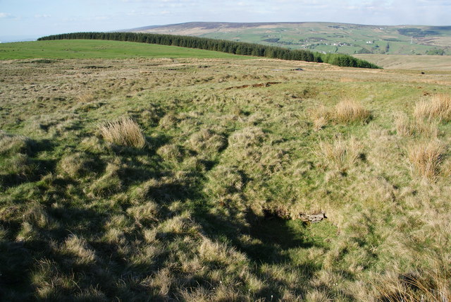
The wood is predominantly made up of broadleaved trees, including oak, beech, and birch, creating a diverse and vibrant ecosystem. The dense canopy of the trees provides shelter for a variety of wildlife, such as deer, squirrels, and numerous species of birds. The forest floor is covered with a rich carpet of mosses, ferns, and wildflowers, adding to the enchanting ambiance of the woodland.

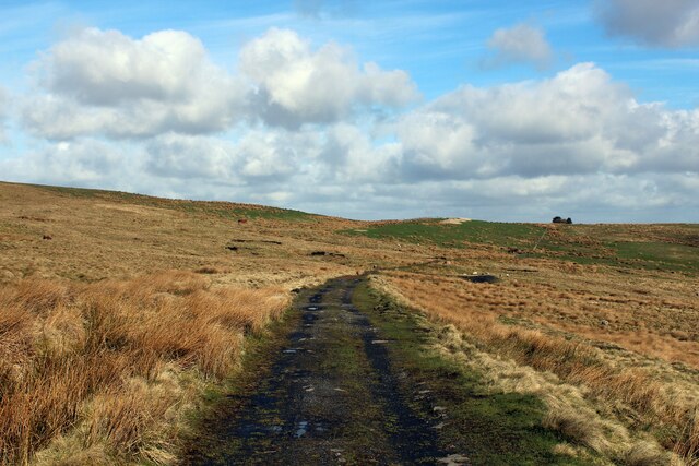
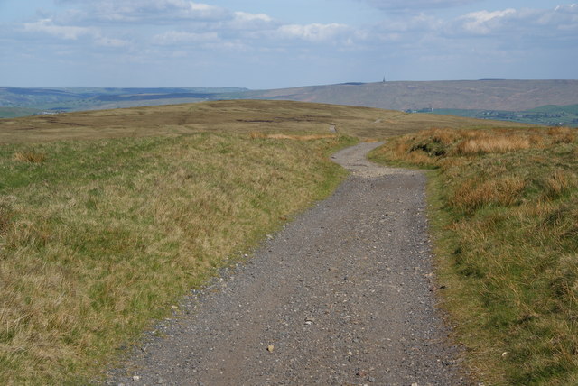
Barewise Wood offers numerous walking trails that wind through its ancient woodland, allowing visitors to explore its scenic beauty at their own pace. These well-maintained paths lead to hidden gems such as a small stream, which meanders gracefully through the heart of the forest, adding to its charm.

Nature enthusiasts and photographers often flock to Barewise Wood to capture its breathtaking landscapes throughout the changing seasons. In spring, the forest comes alive with a burst of vibrant colors as wildflowers bloom, while autumn transforms the woodland into a spectacle of golden hues as the leaves change their colors.

Overall, Barewise Wood encapsulates the beauty of Lancashire's natural landscapes, providing a peaceful retreat for those seeking solace in nature's embrace. Whether it's a leisurely stroll or a wildlife-spotting adventure, this woodland offers an immersive experience that showcases the wonders of the English countryside.

If you have any feedback on the listing, please let us know in the comments section below.

Barewise Wood Images

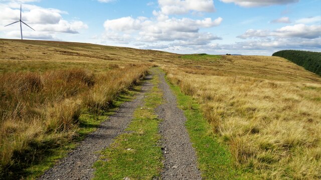
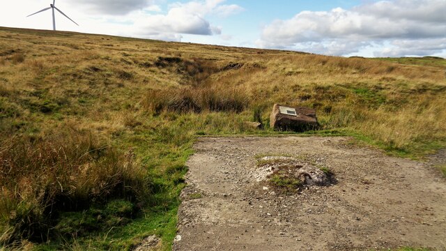
Images are sourced within 2km of 53.726838/-2.1295476 or Grid Reference SD9125. Thanks to Geograph Open Source API. All images are credited.

Tramway course to Tower Clough Mine The former tramway track bed linking Tower Clough mine with Flower Scar Road
Tramway course to Tower Clough Mine
The former tramway track bed linking Tower Clough mine with Flower Scar Road
Former Tower Clough Mine The drift mine entrance is beyond the concrete slab which is believed to have housed ancillary equipment for the mine operation. There is an information board mounted on a rock giving a useful history
Former Tower Clough Mine
The drift mine entrance is beyond the concrete slab which is believed to have housed ancillary equipment for the mine operation. There is an information board mounted on a rock giving a useful history
Plantation on Carr and Craggs Moor
Track across Carr and Craggs Moor Heading towards the long abandoned workings of Tower Clough Coal Mine, one of a few that dot the windswept landscape, hereabouts.
An earlier contributor stated that this is an abandoned tramway trackbed.
Track across Carr and Craggs Moor
Heading towards the long abandoned workings of Tower Clough Coal Mine, one of a few that dot the windswept landscape, hereabouts. An earlier contributor stated that this is an abandoned tramway trackbed.
Flower Scar Road Ahead is the rounded Flower Scar Hill, and in the distance Stoodley Pike.
Flower Scar Road
Ahead is the rounded Flower Scar Hill, and in the distance Stoodley Pike.
Streams converge at the head of Tower Clough These drain off Carr & Craggs Moor, and eventually into the River Calder.
Streams converge at the head of Tower Clough
These drain off Carr & Craggs Moor, and eventually into the River Calder.
Top corner of the forest on Carr & Craggs Moor The beginning of Tower Clough is in the foreground.
Top corner of the forest on Carr & Craggs Moor
The beginning of Tower Clough is in the foreground.
Trial hole on Todmorden Moor There isn't much to see: a filled in circular hole at the bottom of a small depression.
Trial hole on Todmorden Moor
There isn't much to see: a filled in circular hole at the bottom of a small depression.
A646 and disused mill
Entering Portsmouth At this point, you cross four boundaries, going into: West Yorkshire, Calderdale, Todmorden and Portsmouth.
Entering Portsmouth
At this point, you cross four boundaries, going into: West Yorkshire, Calderdale, Todmorden and Portsmouth.
Carr Road, Portsmouth
Portsmouth, Level Crossing on Station Parade
Portsmouth, Burnley Road (A646) The A646 travels through Pennine valleys from Halifax in Yorkshire to Burnley in Lancashire, crossing the county border near Todmorden. It is a fairly slow route, passing through some traditional Pennine villages.
Portsmouth, Burnley Road (A646)
The A646 travels through Pennine valleys from Halifax in Yorkshire to Burnley in Lancashire, crossing the county border near Todmorden. It is a fairly slow route, passing through some traditional Pennine villages.
Portsmouth, Roebuck Inn
Burnley Road, Portsmouth The A646 travels through Pennine valleys from Halifax in Yorkshire to Burnley in Lancashire, crossing the county border near Todmorden. It is a fairly slow route, passing through some traditional Pennine villages.
Burnley Road, Portsmouth
The A646 travels through Pennine valleys from Halifax in Yorkshire to Burnley in Lancashire, crossing the county border near Todmorden. It is a fairly slow route, passing through some traditional Pennine villages.
Portsmouth - former mill on Burnley Road For an alternative (2010) view, please see <a href="https://www.geograph.org.uk/photo/1868474">SD8926 : Mill and pub, Portsmouth, Todmorden</a>.
Portsmouth - former mill on Burnley Road
For an alternative (2010) view, please see SD8926 : Mill and pub, Portsmouth, Todmorden.
Portsmouth - Beater Clough off Burnley Road For an alternative view, please see <a href="https://www.geograph.org.uk/photo/1511343">SD8926 : Walking up Beater Clough</a>.
Portsmouth - Beater Clough off Burnley Road
For an alternative view, please see SD8926 : Walking up Beater Clough.
A646, Burnley Road, Portsmouth
Show me another place!

Barewise Wood is located at Grid Ref: SD9125 (Lat: 53.726838, Lng: -2.1295476)

Unitary Authority: Calderdale

Police Authority: West Yorkshire

What 3 Words

///dive.dominate.carpentry. Near Cornholme, West Yorkshire

Related Wikis

Nearby Amenities

Located within 500m of 53.726838,-2.1295476
Bus Stop
Burnley Road Knotts Road
Bus: yes
Local Ref: 45018901
Naptan AtcoCode: 450018901
Naptan Bearing: SE
Naptan CommonName: Burnley Road Knotts Road
Naptan Crossing: Knotts Road
Naptan Indicator: Stop 45018901
Naptan Notes: Shelter Removed 26/11/07 RTA Plate on L/C. New TF shelter installed on 4/12/07. Awiting survey.
Naptan PlusbusZoneRef: LEEDS
Naptan ShortCommonName: Knotts Road
Naptan Street: Burnley Road
Naptan Verified: no
Public Transport: platform
Source: naptan_import
Lat/Long: 53.7273898/-2.1278928
Bus Stop
Burnley Road Knotts Road
Bus: yes
Local Ref: 45018902
Naptan AtcoCode: 450018902
Naptan Bearing: NW
Naptan CommonName: Burnley Road Knotts Road
Naptan Crossing: Knotts Road
Naptan Indicator: Stop 45018902
Naptan PlusbusZoneRef: LEEDS
Naptan ShortCommonName: Knotts Road
Naptan Street: Burnley Road
Naptan Verified: no
Public Transport: platform
Source: naptan_import
Lat/Long: 53.7273357/-2.1280139
Bus Stop
Burnley Road
Bus: yes
Local Ref: 45018903
Naptan AtcoCode: 450018903
Naptan Bearing: SE
Naptan CommonName: Burnley Road
Naptan Crossing: Dundee Road
Naptan Indicator: Stop 45018903
Naptan Landmark: New Lay Wood
Naptan PlusbusZoneRef: LEEDS
Naptan ShortCommonName: Dundee Road
Naptan Street: Burnley Road
Naptan Verified: no
Public Transport: platform
Source: naptan_import
Lat/Long: 53.7297245/-2.1299462
Bus Stop
Burnley Road
Bus: yes
Local Ref: 45018904
Naptan AtcoCode: 450018904
Naptan Bearing: NW
Naptan CommonName: Burnley Road
Naptan Crossing: Dundee Road
Naptan Indicator: Stop 45018904
Naptan Landmark: New Lay Wood
Naptan PlusbusZoneRef: LEEDS
Naptan ShortCommonName: Dundee Road
Naptan Street: Burnley Road
Naptan Verified: no
Public Transport: platform
Source: naptan_import
Lat/Long: 53.7299843/-2.1306203
Bus Stop
Burnley Road Picker Street
Bus: yes
Local Ref: 45019900
Naptan AtcoCode: 450019900
Naptan Bearing: NW
Naptan CommonName: Burnley Road Picker Street
Naptan Crossing: Picker Street
Naptan Indicator: Stop 45019900
Naptan Landmark: The Railway PH
Naptan Notes: OSR taken place 161105
Naptan PlusbusZoneRef: LEEDS
Naptan ShortCommonName: Jumps Road
Naptan Street: Burnley Road
Naptan Verified: no
Public Transport: platform
Source: naptan_import
Lat/Long: 53.7271889/-2.1223297
Barrier: stile
Material: wood
Stile: stepover
Lat/Long: 53.7292226/-2.1343661
Post Box
Brand: Royal Mail
Brand Wikidata: Q638098
Operator: Royal Mail
Operator Wikidata: Q638098
Ref: OL14 143
Lat/Long: 53.7275059/-2.1282796
Historic: milestone
Inscription: To Todmorden 2 Miles To Burnley 7ΒΌ Miles
Lat/Long: 53.7305522/-2.1310196
Barrier: wicket_gate
Lat/Long: 53.7267813/-2.1265589
Eagle's Crag
Natural: rock
Lat/Long: 53.7259044/-2.1285763
Noexit: yes
Lat/Long: 53.7262364/-2.1222959
Generator Method: wind_turbine
Generator Source: wind
Power: generator
Lat/Long: 53.7262372/-2.1341965
Roundfield
Historic: ruins
Lat/Long: 53.7282007/-2.1348449
Ford: yes
Lat/Long: 53.7296061/-2.1337202
The data included in this document is from www.openstreetmap.org. The data is made available under ODbL.

Have you been to Barewise Wood?

Leave your review of Barewise Wood below (or comments, questions and feedback).