Lower Moor
Downs, Moorland in Lancashire
England
Lower Moor
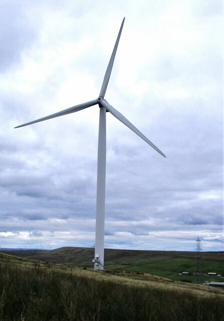
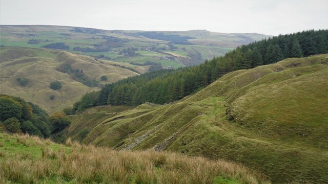
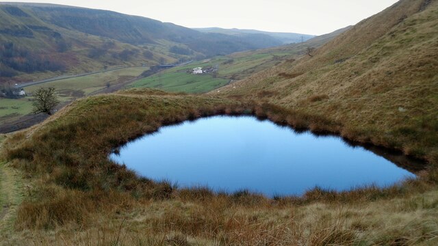
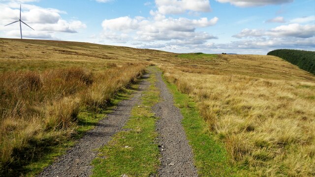
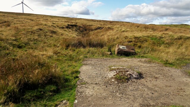
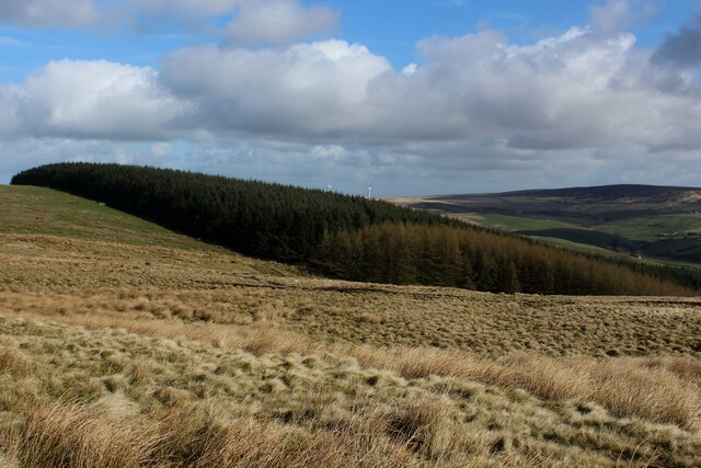
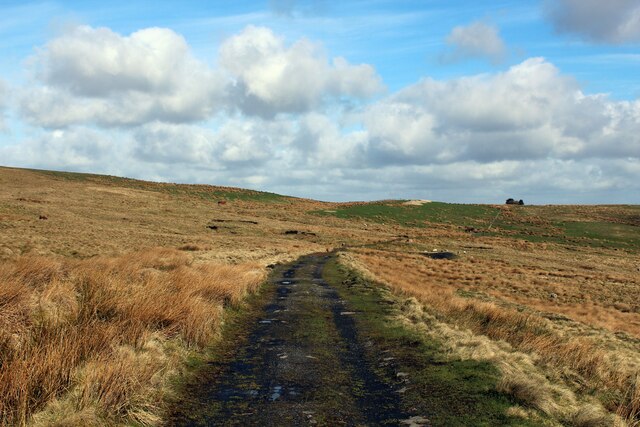
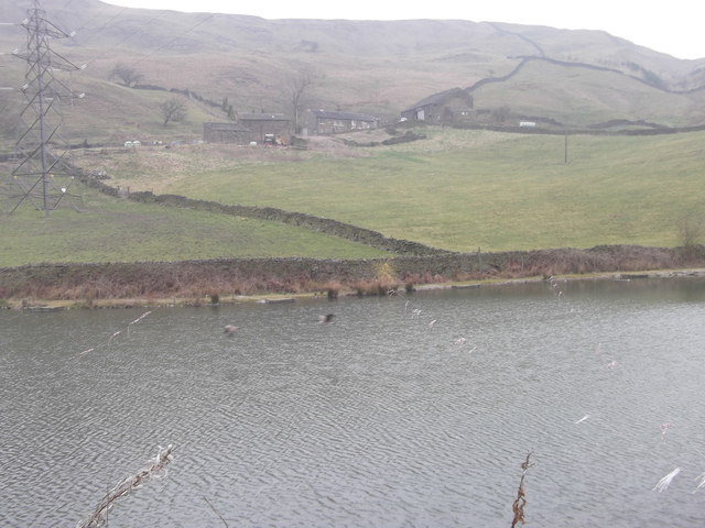
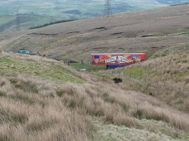
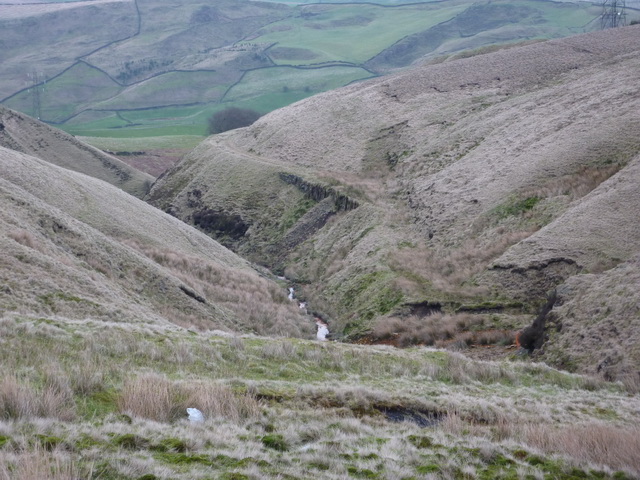
Lower Moor is a small village located in the county of Lancashire, England. Situated in the western part of the county, Lower Moor is nestled amidst the picturesque landscape of the Lancashire Downs and Moorland. The village is surrounded by sprawling green fields and rolling hills, offering residents and visitors breathtaking views of the countryside.
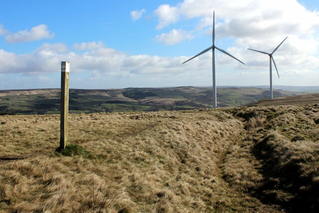
Lower Moor is known for its tranquil and peaceful atmosphere, making it an ideal destination for those seeking a retreat from the hustle and bustle of city life. The area is rich in natural beauty, with an abundance of wildlife and diverse flora and fauna. The moorland surrounding the village is home to various species of birds, including pheasants and grouse, making it a popular spot for birdwatching enthusiasts.
The village itself is small, with a close-knit community that prides itself on its strong sense of community spirit. The locals are friendly and welcoming, often organizing social events and festivals to bring the community together. Lower Moor also has a few amenities, including a village hall, a small convenience store, and a traditional pub where locals and visitors can enjoy a pint of locally brewed beer.
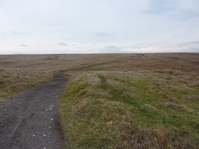
For outdoor enthusiasts, Lower Moor offers plenty of opportunities for hiking and walking, with numerous trails and paths that wind through the surrounding countryside. The Lancashire Downs also provide excellent terrain for horseback riding and cycling, attracting outdoor enthusiasts from near and far.
Overall, Lower Moor is a charming village that offers a peaceful and idyllic setting for those looking to escape into nature and experience the beauty of the Lancashire Downs and Moorland.
If you have any feedback on the listing, please let us know in the comments section below.
Lower Moor Images
Images are sourced within 2km of 53.725635/-2.1366368 or Grid Reference SD9125. Thanks to Geograph Open Source API. All images are credited.


Lower Moor is located at Grid Ref: SD9125 (Lat: 53.725635, Lng: -2.1366368)
Unitary Authority: Calderdale
Police Authority: West Yorkshire
What 3 Words
///skidding.opera.fitter. Near Cornholme, West Yorkshire
Nearby Locations
Related Wikis

Cornholme railway station
Cornholme railway station served the village of Cornholme in West Yorkshire, England on the Copy Pit line. The station was opened by the Lancashire and...

Pudsey, Calderdale
Pudsey is a neighbourhood in the village of Cornholme, Calderdale, West Yorkshire, England. It is near the town of Todmorden and the A646 Burnley Road...

Cornholme
Cornholme is a village near Todmorden, in the metropolitan borough of Calderdale, in West Yorkshire, England. It lies at the edge of Calderdale, on the...

Portsmouth, West Yorkshire
Portsmouth is a village on the A646 road in the Calderdale district, in the county of West Yorkshire, England. Nearby settlements include the towns of...

Portsmouth (Lancs) railway station
Portsmouth railway station was on the Copy Pit line and served the village of Portsmouth, which was part of Lancashire, before being incorporated into...
Todmorden High School
Todmorden High School is a comprehensive school in the town of Todmorden, Calderdale LEA, West Yorkshire, England. == Admissions == Todmorden High School...
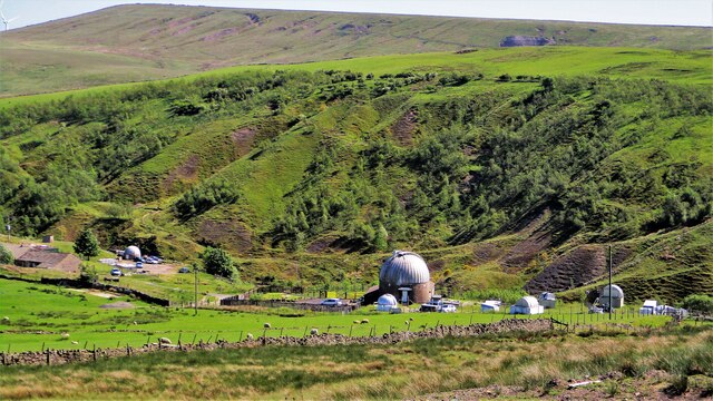
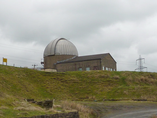
Astronomy Centre
The Astronomy Centre, also known as the Amateur Astronomy Centre, is an astronomical observatory located in northern England which is run by experienced...
Mons Mill, Todmorden
Mons Mill, Todmorden, is a former cotton spinning mill in Todmorden, Calderdale, West Yorkshire, England built for the Hare Spinning Company Limited. It...
Nearby Amenities
Located within 500m of 53.725635,-2.1366368Have you been to Lower Moor?
Leave your review of Lower Moor below (or comments, questions and feedback).