Lower Hill

Hill, Mountain in Lancashire

England

Lower Hill

Astronomy Centre off Bacup Road The even skyline watershed extends to Freeholds Top in this view
Astronomy Centre off Bacup Road Credit: Kevin Waterhouse

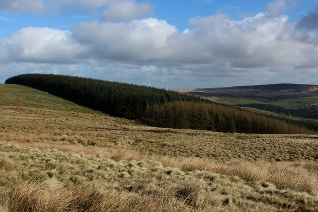
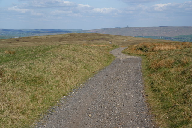
Lower Hill is a picturesque village located in the Lancashire region of England. Situated at the foothills of the larger Hill range, this village is known for its stunning natural beauty and serene atmosphere. It is nestled amidst rolling green hills and offers breathtaking views of the surrounding countryside.

The village is home to a close-knit community that takes pride in its rich history and heritage. It has a population of approximately 500 residents, making it a small but vibrant settlement. The quaint village center is characterized by traditional stone buildings and charming cottages, which add to its rustic appeal.

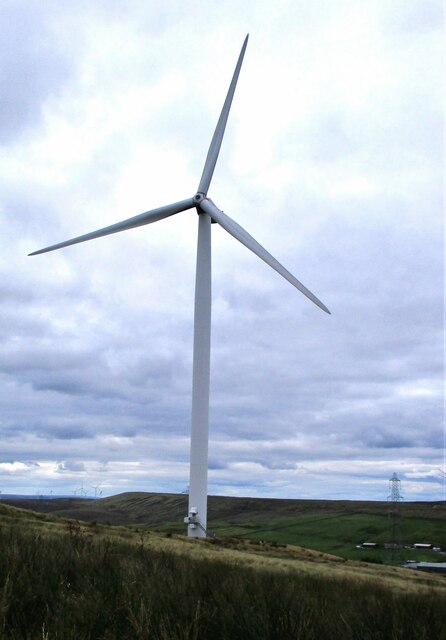
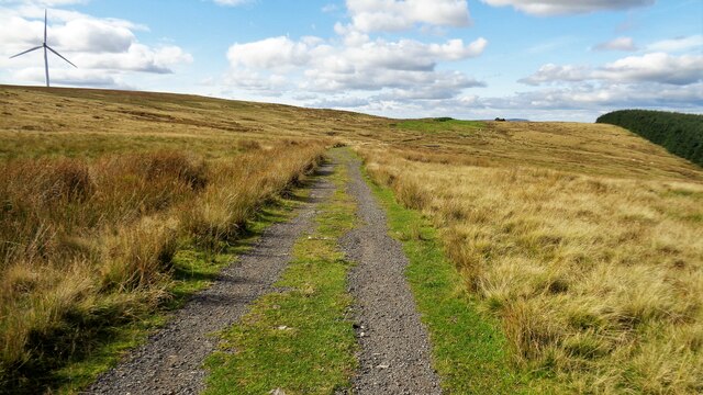
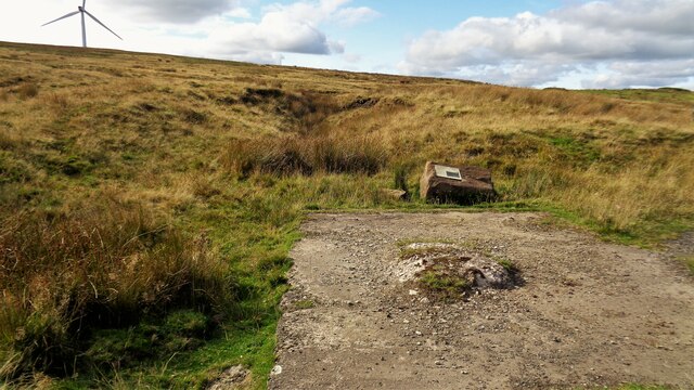
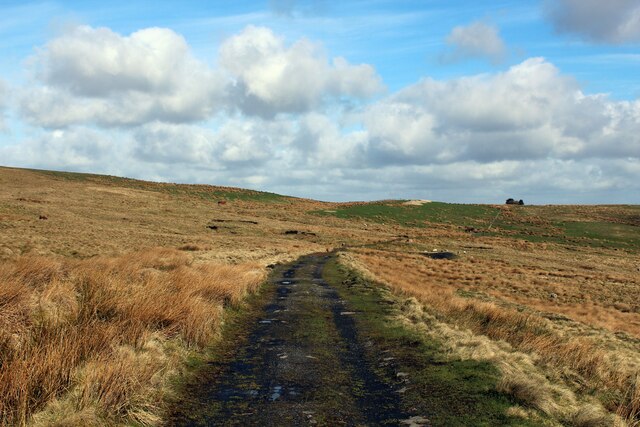
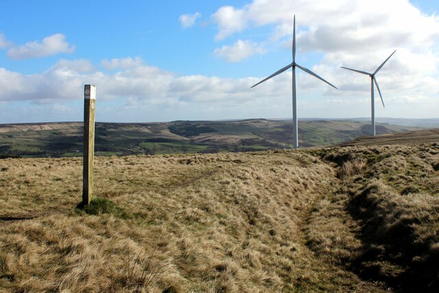
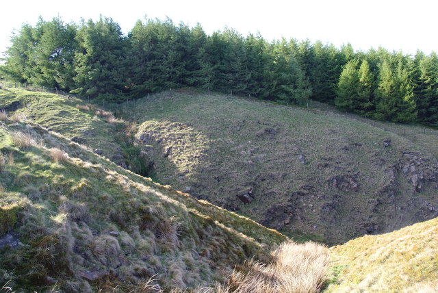
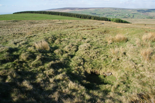
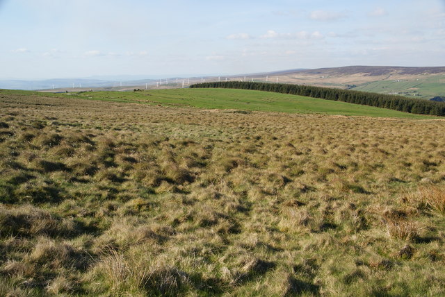
Lower Hill is a haven for nature enthusiasts and outdoor adventurers. The nearby Hill range offers ample opportunities for hiking, mountain biking, and exploring the great outdoors. The rolling hills are adorned with lush greenery, dotted with streams, and home to diverse wildlife, making it an ideal destination for nature lovers.

The village also boasts a range of amenities to cater to the needs of its residents and visitors. It has a local pub, a village hall, and a primary school, ensuring that the community has access to essential services and facilities. The residents of Lower Hill actively participate in community events and initiatives, fostering a strong sense of belonging and camaraderie.

Overall, Lower Hill is a tranquil and picturesque village that offers a peaceful escape from the hustle and bustle of city life. Its natural beauty, friendly community, and outdoor recreational opportunities make it an attractive destination for those seeking a serene and idyllic setting.

If you have any feedback on the listing, please let us know in the comments section below.
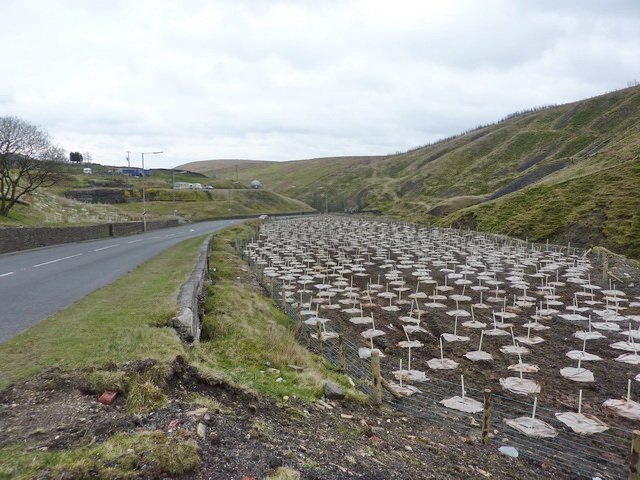
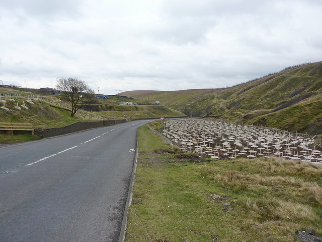
Lower Hill Images

Images are sourced within 2km of 53.722698/-2.1345511 or Grid Reference SD9125. Thanks to Geograph Open Source API. All images are credited.

Astronomy Centre off Bacup Road The even skyline watershed extends to Freeholds Top in this view
Astronomy Centre off Bacup Road
The even skyline watershed extends to Freeholds Top in this view
Wind Turbine on Todmorden Moor Viewed from Flower Scar Road
Wind Turbine on Todmorden Moor
Viewed from Flower Scar Road
Tramway course to Tower Clough Mine The former tramway track bed linking Tower Clough mine with Flower Scar Road
Tramway course to Tower Clough Mine
The former tramway track bed linking Tower Clough mine with Flower Scar Road
Former Tower Clough Mine The drift mine entrance is beyond the concrete slab which is believed to have housed ancillary equipment for the mine operation. There is an information board mounted on a rock giving a useful history
Former Tower Clough Mine
The drift mine entrance is beyond the concrete slab which is believed to have housed ancillary equipment for the mine operation. There is an information board mounted on a rock giving a useful history
Plantation on Carr and Craggs Moor
Track across Carr and Craggs Moor Heading towards the long abandoned workings of Tower Clough Coal Mine, one of a few that dot the windswept landscape, hereabouts.
An earlier contributor stated that this is an abandoned tramway trackbed.
Track across Carr and Craggs Moor
Heading towards the long abandoned workings of Tower Clough Coal Mine, one of a few that dot the windswept landscape, hereabouts. An earlier contributor stated that this is an abandoned tramway trackbed.
Footpath on Todmorden Moor Public footpath heading north east off Flower Scar Road
Footpath on Todmorden Moor
Public footpath heading north east off Flower Scar Road
The Astronomy Centre, Bacup Road, Todmorden <span class="nowrap"><a title="http://www.astronomycentre.org.uk/" rel="nofollow ugc noopener" href="http://www.astronomycentre.org.uk/">Link</a><img style="margin-left:2px;" alt="External link" title="External link - shift click to open in new window" src="https://s1.geograph.org.uk/img/external.png" width="10" height="10"/></span>
The Astronomy Centre, Bacup Road, Todmorden
New plantation opposite the observatory, Bacup Road
Bacup Road at the observatory
Flower Scar Road
Flower Scar Road
The beginning of a clough on Todmorden Moor This is looking down from Flower Scar Road. At the moment it is the sort that seeps through the grass rather than flows.
The beginning of a clough on Todmorden Moor
This is looking down from Flower Scar Road. At the moment it is the sort that seeps through the grass rather than flows.
Flower Scar Road Ahead is the rounded Flower Scar Hill, and in the distance Stoodley Pike.
Flower Scar Road
Ahead is the rounded Flower Scar Hill, and in the distance Stoodley Pike.
Streams converge at the head of Tower Clough These drain off Carr & Craggs Moor, and eventually into the River Calder.
Streams converge at the head of Tower Clough
These drain off Carr & Craggs Moor, and eventually into the River Calder.
Top corner of the forest on Carr & Craggs Moor The beginning of Tower Clough is in the foreground.
Top corner of the forest on Carr & Craggs Moor
The beginning of Tower Clough is in the foreground.
Trial hole on Todmorden Moor There isn't much to see: a filled in circular hole at the bottom of a small depression.
Trial hole on Todmorden Moor
There isn't much to see: a filled in circular hole at the bottom of a small depression.
Todmorden Moor Looking over to Carr & Craggs Moor and Coal Clough Wind Farm beyond. There is supposed to be a path over this moor, but it is completely undefined.
Todmorden Moor
Looking over to Carr & Craggs Moor and Coal Clough Wind Farm beyond. There is supposed to be a path over this moor, but it is completely undefined.
The A681 Bacup Road, Todmoden The road as it passes the Astronomy Centre.
The A681 Bacup Road, Todmoden
The road as it passes the Astronomy Centre.
Show me another place!

Lower Hill is located at Grid Ref: SD9125 (Lat: 53.722698, Lng: -2.1345511)

Unitary Authority: Calderdale

Police Authority: West Yorkshire

What 3 Words

///lies.supposed.invoices. Near Cornholme, West Yorkshire

Related Wikis

Cornholme railway station

Cornholme railway station served the village of Cornholme in West Yorkshire, England on the Copy Pit line. The station was opened by the Lancashire and...

Cornholme

Cornholme is a village near Todmorden, in the metropolitan borough of Calderdale, in West Yorkshire, England. It lies at the edge of Calderdale, on the...

Pudsey, Calderdale

Pudsey is a neighbourhood in the village of Cornholme, Calderdale, West Yorkshire, England. It is near the town of Todmorden and the A646 Burnley Road...

Todmorden High School

Todmorden High School is a comprehensive school in the town of Todmorden, Calderdale LEA, West Yorkshire, England. == Admissions == Todmorden High School...

Portsmouth, West Yorkshire

Portsmouth is a village on the A646 road in the Calderdale district, in the county of West Yorkshire, England. Nearby settlements include the towns of...

Portsmouth (Lancs) railway station

Portsmouth railway station was on the Copy Pit line and served the village of Portsmouth, which was part of Lancashire, before being incorporated into...
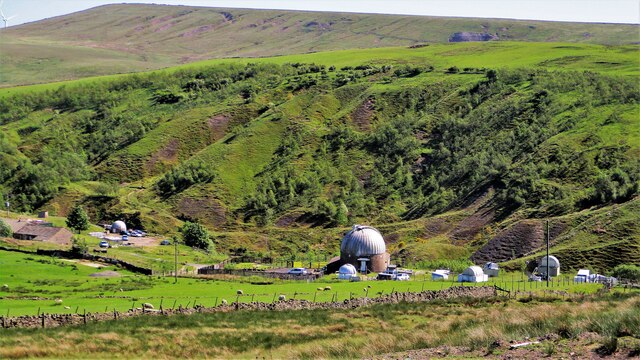
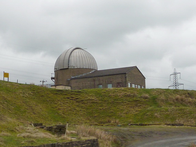
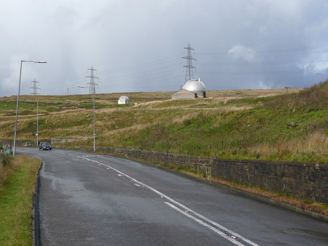
Astronomy Centre

The Astronomy Centre, also known as the Amateur Astronomy Centre, is an astronomical observatory located in northern England which is run by experienced...

Mons Mill, Todmorden

Mons Mill, Todmorden, is a former cotton spinning mill in Todmorden, Calderdale, West Yorkshire, England built for the Hare Spinning Company Limited. It...

Nearby Amenities

Located within 500m of 53.722698,-2.1345511
Generator Method: wind_turbine
Generator Source: wind
Power: generator
Lat/Long: 53.7262372/-2.1341965
The data included in this document is from www.openstreetmap.org. The data is made available under ODbL.

Have you been to Lower Hill?

Leave your review of Lower Hill below (or comments, questions and feedback).