Black Clough
Valley in Lancashire Burnley
England
Black Clough
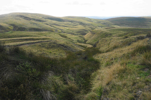
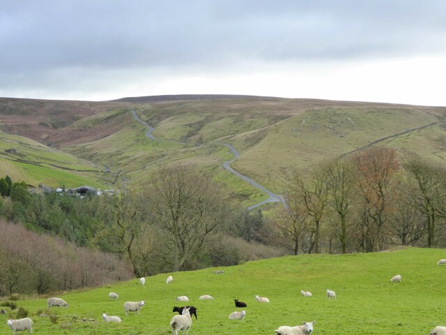
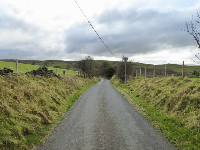
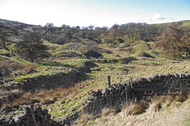
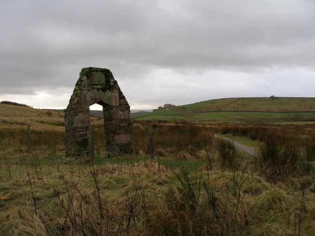
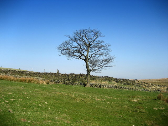
Black Clough is a picturesque valley located in the county of Lancashire, England. Nestled in the heart of the Pennines, it is renowned for its stunning natural beauty and tranquil atmosphere. The valley is situated near the small village of Whitewell, and is encompassed by rolling hills and dense woodlands, offering a haven for nature enthusiasts and hikers alike.
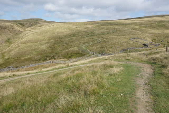
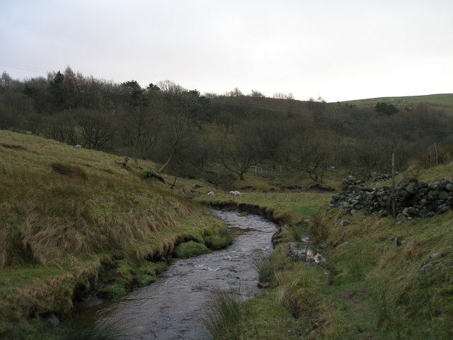
The main feature of Black Clough is its namesake river, which flows through the valley, adding to its charm and allure. The river is known for its crystal-clear waters, which meander through the valley, creating small cascades and waterfalls along the way. These scenic water features are a favorite spot for photographers and visitors seeking solitude in nature.
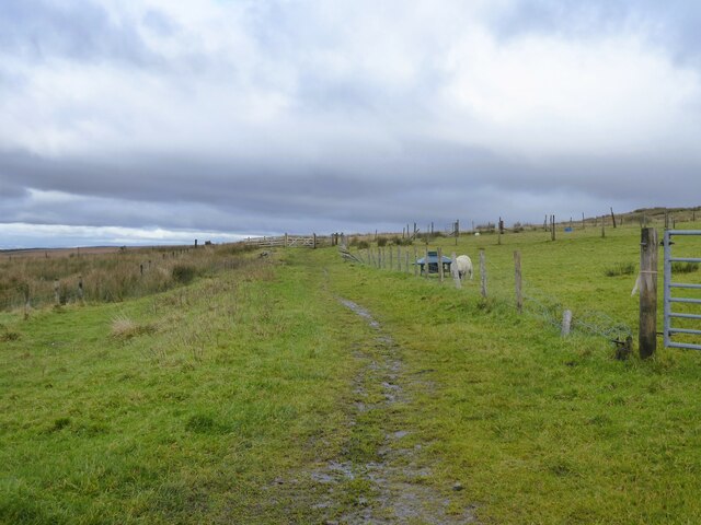
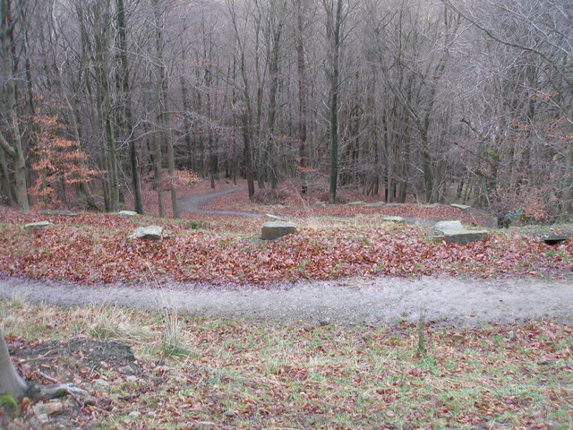
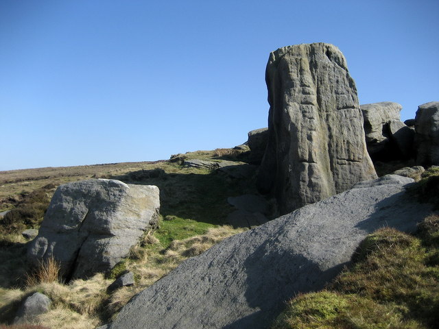
The valley is rich in biodiversity, with a wide variety of flora and fauna inhabiting its surroundings. Visitors to Black Clough can expect to encounter an array of wildlife, including deer, rabbits, and a variety of bird species. The valley is also home to numerous ancient woodlands, which are protected areas of significant ecological importance.
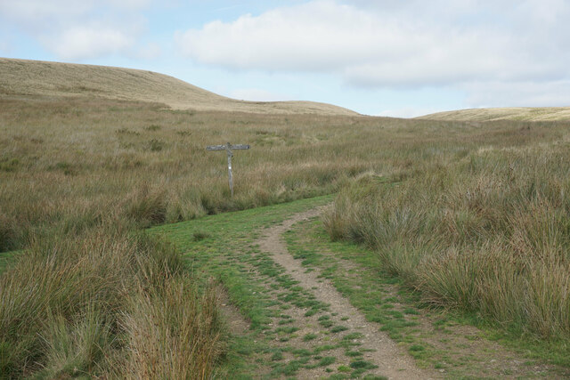
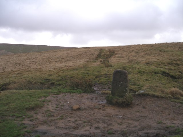
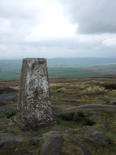
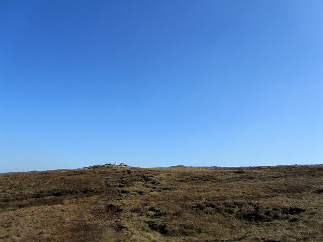
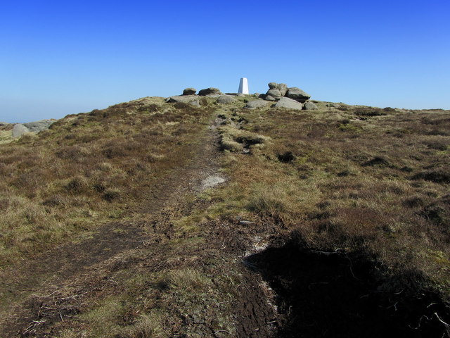
For those seeking outdoor activities, Black Clough offers ample opportunities for hiking and walking. There are several well-marked trails that wind through the valley, catering to all levels of fitness and experience. The routes take visitors through verdant meadows, dense forests, and along the river, providing breathtaking panoramic views of the surrounding countryside.
In conclusion, Black Clough is a hidden gem in Lancashire, offering a peaceful retreat for nature lovers and outdoor enthusiasts. Its idyllic landscapes, diverse wildlife, and scenic river make it a must-visit destination for anyone seeking solace in the beauty of the natural world.
If you have any feedback on the listing, please let us know in the comments section below.
Black Clough Images
Images are sourced within 2km of 53.806668/-2.1307052 or Grid Reference SD9134. Thanks to Geograph Open Source API. All images are credited.


Black Clough is located at Grid Ref: SD9134 (Lat: 53.806668, Lng: -2.1307052)
Administrative County: Lancashire
District: Burnley
Police Authority: Lancashire
What 3 Words
///habits.gullible.overdrive. Near Nelson, Lancashire
Nearby Locations
Related Wikis

Boulsworth Hill
Boulsworth Hill is a large expanse of moorland, the highest point of the South Pennines of south-eastern Lancashire, England, separating the Borough of...

Trawden Brook
Trawden Brook is a minor river in Lancashire, England. It is 3.48 miles (5.6 km) long and has a catchment area of 4.40 square miles (11.4 km2).Rising on...

Briercliffe
Briercliffe (historically Briercliffe-with-Extwistle) is a civil parish in the borough of Burnley, in Lancashire, England. It is situated 3 miles (4.8...

Trawden
Trawden is a village in the Trawden Forest parish of Pendle, at the foot of Boulsworth Hill, in Lancashire, England. The village co-operatively owns and...

Trawden Forest
Trawden Forest is a civil parish in the Pendle district of Lancashire, England. It has a population of 2,765, and contains the village of Trawden (formerly...

Haggate
Haggate is a small village within the parish of Briercliffe, situated three miles north of Burnley, Lancashire. The village is mostly built around a small...
St John the Evangelist's Church, Worsthorne
St John the Evangelist's Church is in Church Square in the village of Worsthorne, Lancashire, England. It is an active Anglican parish church in the deanery...

Worsthorne-with-Hurstwood
Worsthorne-with-Hurstwood is a civil parish in the Borough of Burnley, in Lancashire, England. Situated on the eastern outskirts of Burnley, in 2011 it...
Nearby Amenities
Located within 500m of 53.806668,-2.1307052Have you been to Black Clough?
Leave your review of Black Clough below (or comments, questions and feedback).