Horsecombe Vale

Valley in Somerset

England

Horsecombe Vale

Waiting for the cyclists! Work is gradually progressing on converting the old Somerset & Dorset Railway south of Midford into a cycle path. In May 2005 this was the next stretch awaiting the Sustrans treatment.
Waiting for the cyclists! Credit: Ron Strutt

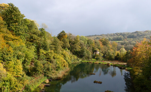
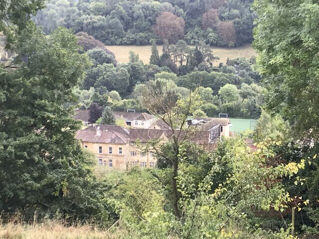
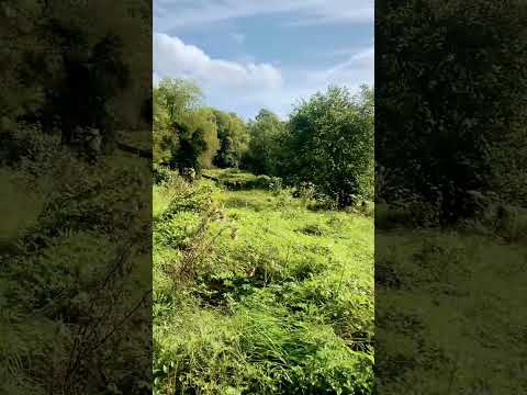
Horsecombe Vale is a picturesque valley located in Somerset, England. Nestled within the rolling hills of the Mendip Range, this idyllic valley offers a tranquil escape from the hustle and bustle of everyday life.

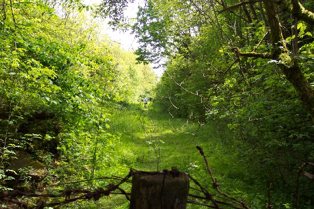
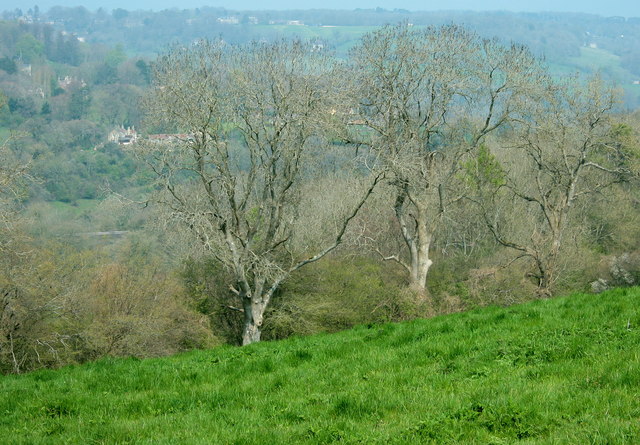
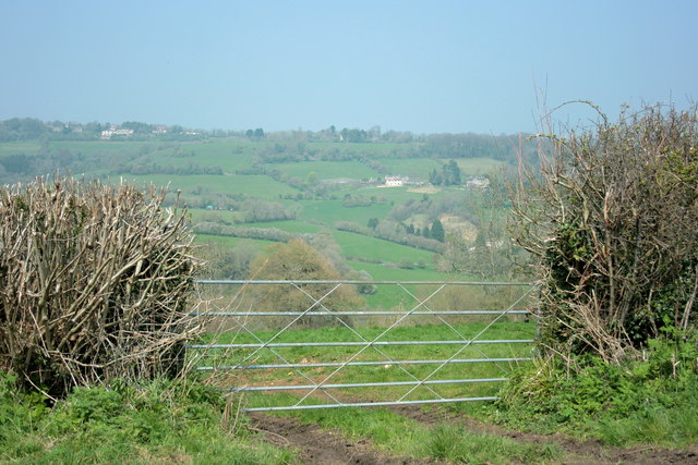
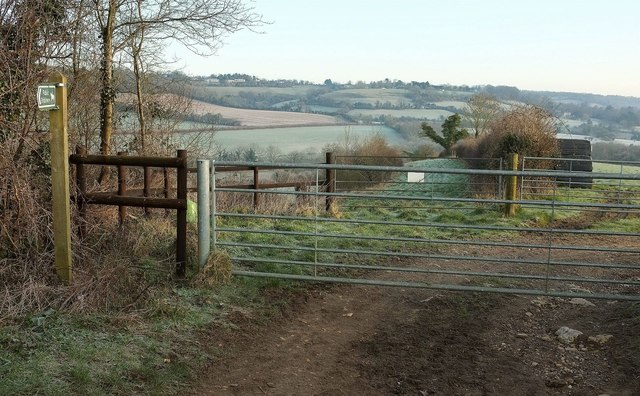
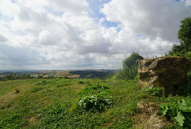
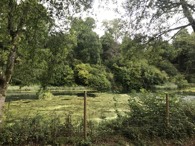
The valley is known for its stunning natural beauty, with lush green meadows, meandering streams, and dense woodlands. Horsecombe Vale is a haven for wildlife, with a diverse range of flora and fauna calling this place home. Visitors can expect to spot birds such as kingfishers, herons, and buzzards, as well as various mammals including deer, badgers, and foxes.

The valley is a popular destination for nature enthusiasts and hikers, who can explore the numerous walking trails that crisscross the area. One of the highlights of Horsecombe Vale is the Horsecombe Reservoir, a serene body of water that adds to the charm of the landscape.

In addition to its natural beauty, Horsecombe Vale also boasts a rich history. The valley has been inhabited since ancient times, with evidence of human settlements dating back to the Bronze Age. Nearby archaeological sites, such as burial mounds and stone circles, provide glimpses into the area's past.

Horsecombe Vale offers a peaceful and enchanting setting for those seeking a retreat in nature. Whether it's exploring the wildlife, embarking on a hike, or simply taking in the breathtaking views, this hidden gem in Somerset is a must-visit for nature lovers and history buffs alike.

If you have any feedback on the listing, please let us know in the comments section below.

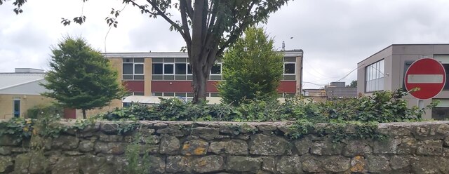
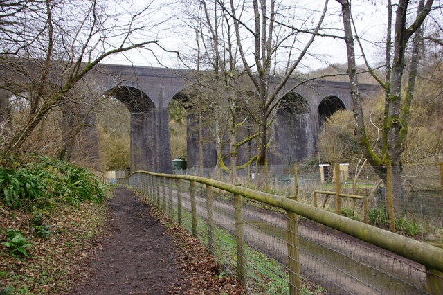
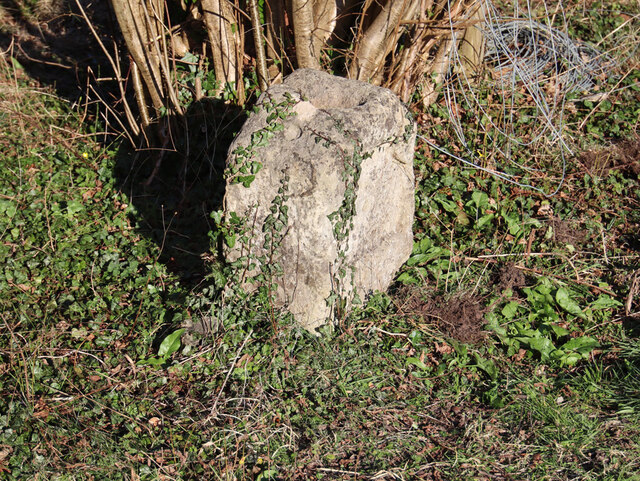
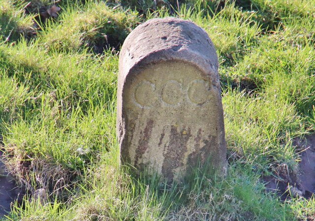
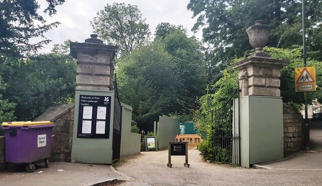
Horsecombe Vale Images

Images are sourced within 2km of 51.354818/-2.354241 or Grid Reference ST7561. Thanks to Geograph Open Source API. All images are credited.

Waiting for the cyclists! Work is gradually progressing on converting the old Somerset & Dorset Railway south of Midford into a cycle path. In May 2005 this was the next stretch awaiting the Sustrans treatment.
Waiting for the cyclists!
Work is gradually progressing on converting the old Somerset & Dorset Railway south of Midford into a cycle path. In May 2005 this was the next stretch awaiting the Sustrans treatment.
2008 : Pasture near Twinhoe Taken from the lane between Midford and Twinhoe.
The Cam Brook runs through the valley behind the trees, Southstoke is on the other side of the valley and Midford is to the right.
2008 : Pasture near Twinhoe
Taken from the lane between Midford and Twinhoe. The Cam Brook runs through the valley behind the trees, Southstoke is on the other side of the valley and Midford is to the right.
2008 : Field gate on Twinhoe Lane The driveway to Lower Twinhoe Farm is behind us.
Upper Twinhoe with its farms is located on the eastern end of a ridge starting near Midford and running west to Peasedown St.John and beyond.
The two arms of the Somerset Coal Canal were built on either side of the ridge. The canal proper, which went as far as Radford Basin near Timsbury, went through the valley before us. The southern arm, which was part tramway and part canal, went along the valley behind as far as Radstock.
2008 : Field gate on Twinhoe Lane
The driveway to Lower Twinhoe Farm is behind us. Upper Twinhoe with its farms is located on the eastern end of a ridge starting near Midford and running west to Peasedown St.John and beyond. The two arms of the Somerset Coal Canal were built on either side of the ridge. The canal proper, which went as far as Radford Basin near Timsbury, went through the valley before us. The southern arm, which was part tramway and part canal, went along the valley behind as far as Radstock.
Tracks north of Twinhoe With the Cam Brook valley in the background. The sign indicates, in one direction at least, bridleway BA 25/45.
Tracks north of Twinhoe
With the Cam Brook valley in the background. The sign indicates, in one direction at least, bridleway BA 25/45.
Fortune Cookie Take Away - Odd Down
Greendown Terrace
Greendown Terrace
The Hadley Arms
The Hadley Arms
Ralph Allen School
Ralph Allen School
Tucking Mill Reservoir Picture taken looking down from the Bath Two Tunnels cycling/walking route.
The Wessex Water website states "Try coarse fishing - it's free to disabled anglers".
Tucking Mill Reservoir
Picture taken looking down from the Bath Two Tunnels cycling/walking route. The Wessex Water website states "Try coarse fishing - it's free to disabled anglers".
Old Milestone, B3110, Midford Road, Midford The milestone is located south of Midford Bridge, on the pavement in the wall of Brooklyn Cottage on the south side of the road. Parish of Hinton Charterhouse (Bath and North East Somerset District). Cast iron post, C&M Classical iron casting design, erected by the Black Dog Turnpike Trust in the 19th century.

Inscription reads:-
BATH
4
WARMINSTER
13
FROME
9
HINTON CHARTERHOUSE

Grade II Listed, List Entry Number: 1136204 <span class="nowrap"><a title="https://historicengland.org.uk/listing/the-list/list-entry/1136204" rel="nofollow ugc noopener" href="https://historicengland.org.uk/listing/the-list/list-entry/1136204">Link</a><img style="margin-left:2px;" alt="External link" title="External link - shift click to open in new window" src="https://s1.geograph.org.uk/img/external.png" width="10" height="10"/></span>

Milestone Society National ID: SO_BAWM04
Old Milestone, B3110, Midford Road, Midford
The milestone is located south of Midford Bridge, on the pavement in the wall of Brooklyn Cottage on the south side of the road. Parish of Hinton Charterhouse (Bath and North East Somerset District). Cast iron post, C&M Classical iron casting design, erected by the Black Dog Turnpike Trust in the 19th century. Inscription reads:- BATH 4 WARMINSTER 13 FROME 9 HINTON CHARTERHOUSE Grade II Listed, List Entry Number: 1136204 LinkExternal link Milestone Society National ID: SO_BAWM04
Under The Tuck View of the former Somerset & Dorset Railway viaduct at Tucking Mill, nr Bath.
From a section of public footpath that runs parallel to an access road towards it.
Tucking Mill reservoir is on the other side of the fence, to the right.
The viaduct is part of the Two Tunnels Greenaway, a public footpath, cycle track.
Under The Tuck
View of the former Somerset & Dorset Railway viaduct at Tucking Mill, nr Bath. From a section of public footpath that runs parallel to an access road towards it. Tucking Mill reservoir is on the other side of the fence, to the right. The viaduct is part of the Two Tunnels Greenaway, a public footpath, cycle track.
Old Milestone, Coal Canal, Combe Hay On the NE side of Lock 13 of the Somerset Coal Canal, not currently navigable. An alternative view is <a href="https://www.geograph.org.uk/photo/3659361">ST7460 : Open access day at the SCC (e)</a>.

Inscription (was): Dundas Aqueduct 4

Milestone Society National ID: SCC-4
Old Milestone, Coal Canal, Combe Hay
On the NE side of Lock 13 of the Somerset Coal Canal, not currently navigable. An alternative view is ST7460 : Open access day at the SCC (e). Inscription (was): Dundas Aqueduct 4 Milestone Society National ID: SCC-4
Old Boundary Marker beside the Somerset Coal Canal in Southstoke parish Canal Boundary Marker on the west side of the abandoned and dry course of the Somerset Coal Canal, between a canal bridge and the embankment of a disused railway. Southstoke parish. Canal information <span class="nowrap"><a title="https://en.wikipedia.org/wiki/Somerset_Coal_Canal" rel="nofollow ugc noopener" href="https://en.wikipedia.org/wiki/Somerset_Coal_Canal">Link</a><img style="margin-left:2px;" alt="External link" title="External link - shift click to open in new window" src="https://s1.geograph.org.uk/img/external.png" width="10" height="10"/></span>. See also <a title="https://www.geograph.org.uk/photo/3912724" href="https://www.geograph.org.uk/photo/3912724">Link</a>.

Milestone Society National ID: SO_SCCSST01em
Old Boundary Marker beside the Somerset Coal Canal in Southstoke parish
Canal Boundary Marker on the west side of the abandoned and dry course of the Somerset Coal Canal, between a canal bridge and the embankment of a disused railway. Southstoke parish. Canal information LinkExternal link. See also Link. Milestone Society National ID: SO_SCCSST01em
Gates to Prior Park - Bath
Rural Viewpoint View of farmland, forestry, hills, Southwest of Bath, from South stoke Viewpoint.
Rural Viewpoint
View of farmland, forestry, hills, Southwest of Bath, from South stoke Viewpoint.
Monkton Combe
Monkton Combe
Lake at Tucking Mill
Bridge between the two tunnels
Show me another place!

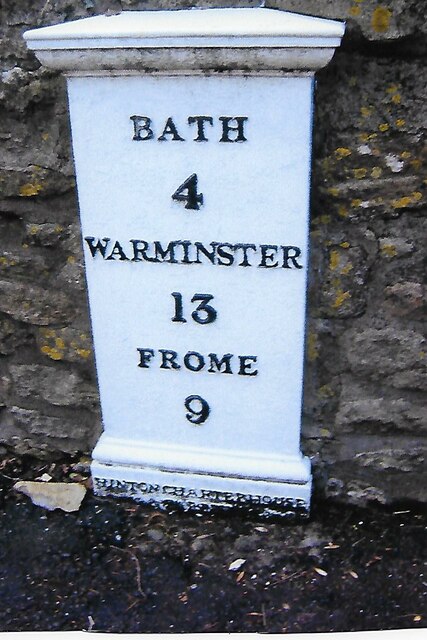
Horsecombe Vale is located at Grid Ref: ST7561 (Lat: 51.354818, Lng: -2.354241)

Unitary Authority: Bath and North East Somerset

Police Authority: Avon and Somerset

What 3 Words

///oppose.visual.sticky. Near Bath, Somerset
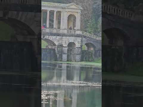
Related Wikis

South Stoke, Somerset

South Stoke or Southstoke is a small village and civil parish in north east Somerset, England. It is 2 miles (3 km) south of the city of Bath, on the River...
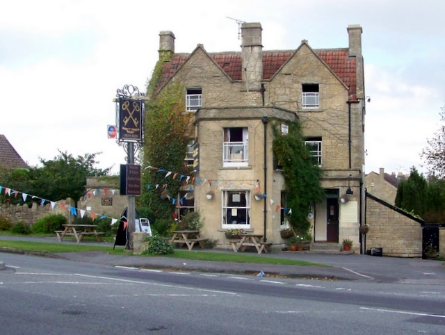
Cross Keys Inn

The Cross Keys Inn is a pub-restaurant and former coaching inn, trading since before 1750, on a corner of Midford Road in Odd Down, Bath, Somerset, England...

Midford Castle

Midford Castle is a folly castle in the village of Midford, and the parish of Southstoke 3 miles (5 km) south of Bath, Somerset, England. The castle was...
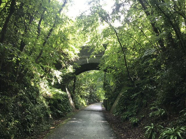
Combe Down Tunnel

Combe Down Tunnel is on the now-closed Somerset and Dorset Joint Railway main line, between Midford and Bath Green Park railway station, below high ground...

Related Videos

Nearby Amenities

Located within 500m of 51.354818,-2.354241
Barrier: cycle_barrier
Lat/Long: 51.3580905/-2.355253
Barrier: kissing_gate
Lat/Long: 51.3530308/-2.3507016
Barrier: stile
Lat/Long: 51.3528928/-2.3526214
Barrier: kissing_gate
Lat/Long: 51.3527078/-2.3546933
Barrier: kissing_gate
Lat/Long: 51.3524818/-2.3568376
Barrier: cycle_barrier
Lat/Long: 51.3572618/-2.3502855
Barrier: kissing_gate
Lat/Long: 51.3527384/-2.3577633
Barrier: cycle_barrier
Lat/Long: 51.3577949/-2.3558642
Turning Circle
Lat/Long: 51.3587158/-2.3575687
Cafe
Castle Farm Cafe
Addr Postcode: BA2 7BU
Addr Street: Midford Road
Fhrs Id: 1057105
Website: http://www.castlefarmcafe.co.uk/
Lat/Long: 51.3524011/-2.354152
Generator Method: photovoltaic
Generator Output Electricity: yes
Generator Source: solar
Generator Type: solar_photovoltaic_panel
Location: roof
Power: generator
Lat/Long: 51.3569829/-2.3495963
The data included in this document is from www.openstreetmap.org. The data is made available under ODbL.

Have you been to Horsecombe Vale?

Leave your review of Horsecombe Vale below (or comments, questions and feedback).