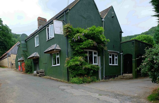
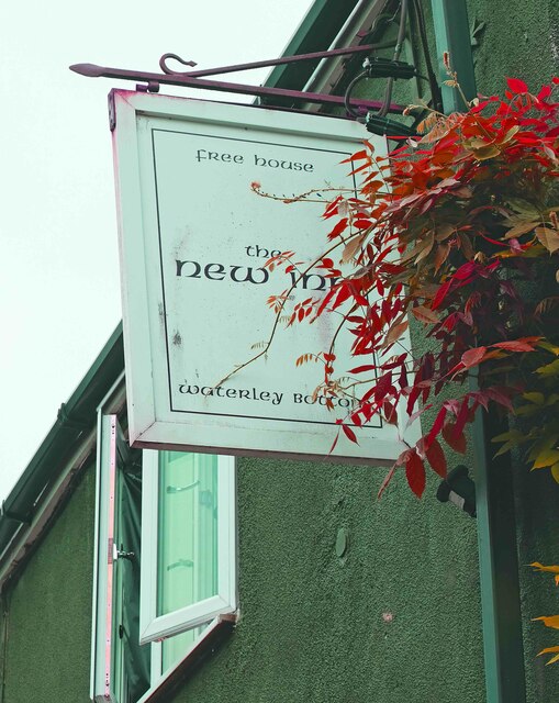
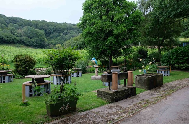
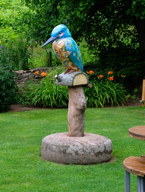
Waterley Bottom

Valley in Gloucestershire Stroud

England

Waterley Bottom

The New Inn (1), Waterley Bottom, near Dursley, Glos Reached through a network of single track lanes, this public house has the feeling of being in the middle of nowhere. It is in fact not far from Dursley and also from the village of North Nibley. It is near the end of a cul-de-sac lane, although from the end there is a public footpath up Breakheart Hill. A good map or a Sat Nav system is recommended to find this pub, which has restricted opening hours. They are shown on its website.

Originally a farm cottage which served cider to workers in nearby industrial establishments. It seems to have become a pub around 1845. It still carries a range of ciders and also real ale etc. Food is served (see website) and there is a very attractive garden, and a car park.

<a href="https://www.geograph.org.uk/photo/6930531">ST7596 : The New Inn (2) - sign, Waterley Bottom, near Dursley, Glos</a>.
<a href="https://www.geograph.org.uk/photo/6930540">ST7596 : The New Inn (3) - garden, Waterley Bottom, near Dursley, Glos</a>.
<a href="https://www.geograph.org.uk/photo/6930544">ST7596 : The New Inn (4) - sculpture in garden, Waterley Bottom, near Dursley, Glos</a>.
<a href="https://www.geograph.org.uk/photo/6930554">ST7596 : The New Inn (5) - rear view, Waterley Bottom, near Dursley, Glos</a>.
The New Inn (1), Waterley Bottom, near Dursley, Glos Credit: P L Chadwick

Waterley Bottom is a picturesque valley located in the county of Gloucestershire, England. Situated in the heart of the Cotswolds, this charming rural area is known for its stunning natural beauty and tranquil atmosphere. The valley is nestled between rolling hills and is surrounded by lush green meadows and woodlands, creating an idyllic setting.

The main feature of Waterley Bottom is the small stream that runs through it, adding to its charm and providing a peaceful soundtrack to the surroundings. The stream is often lined with wildflowers and is home to a variety of wildlife, including ducks and other water birds.

The landscape of Waterley Bottom is characterized by gentle slopes and open fields, making it a popular destination for walkers and nature lovers. The valley is crisscrossed with footpaths and trails, offering visitors the opportunity to explore the area and take in the breathtaking views.

Despite its rural setting, Waterley Bottom is not far from the nearby villages and towns. The bustling market town of Stroud is only a short drive away, offering a range of amenities including shops, restaurants, and cafes. The area is also well-connected, with good transport links to nearby cities such as Bristol and Gloucester.

Overall, Waterley Bottom is a hidden gem in Gloucestershire, offering visitors a chance to escape the hustle and bustle of everyday life and immerse themselves in the beauty of the countryside. Whether you are seeking a peaceful retreat or an outdoor adventure, this valley has something to offer for everyone.

If you have any feedback on the listing, please let us know in the comments section below.

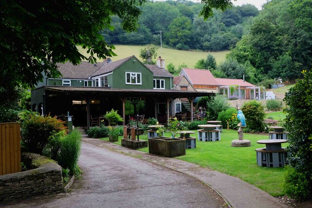
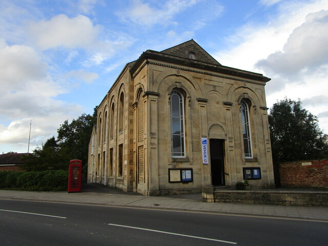
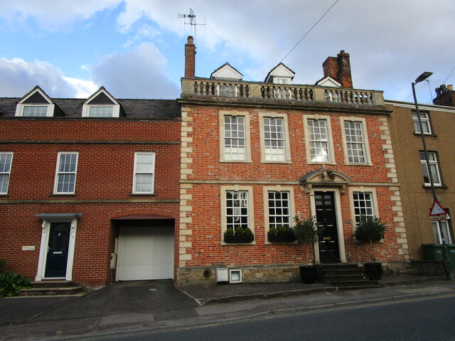
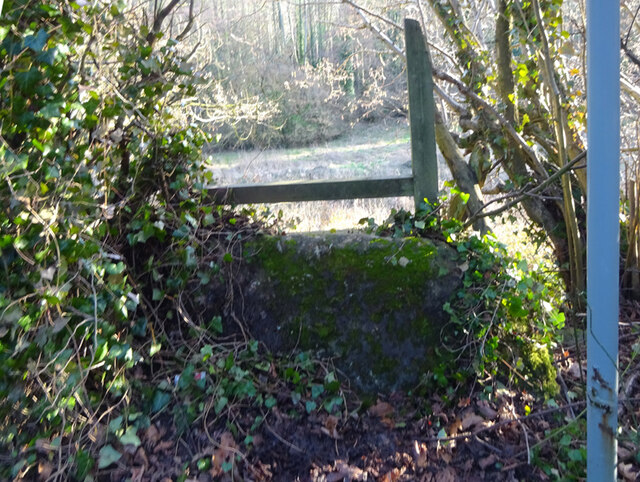
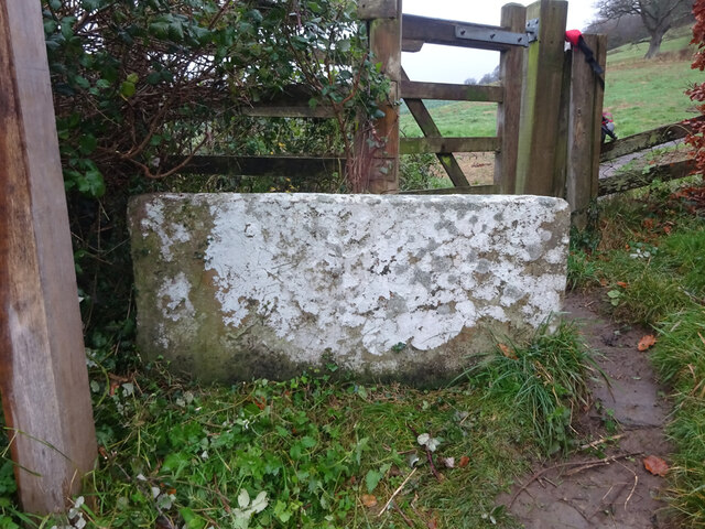
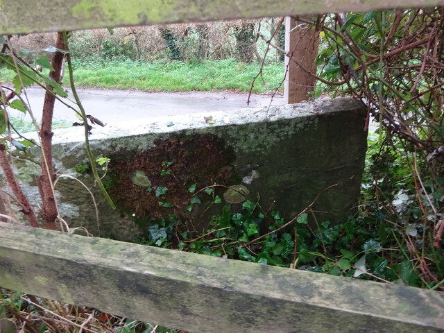
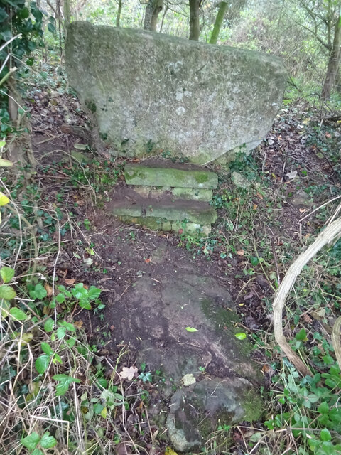
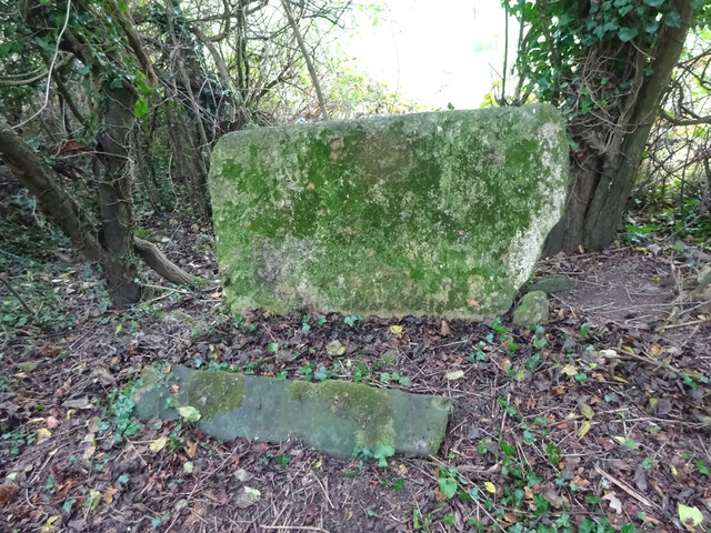
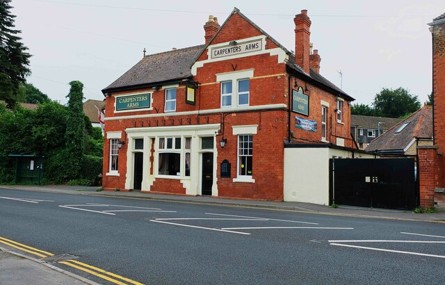
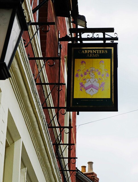
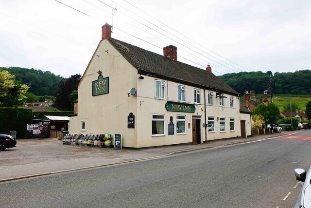
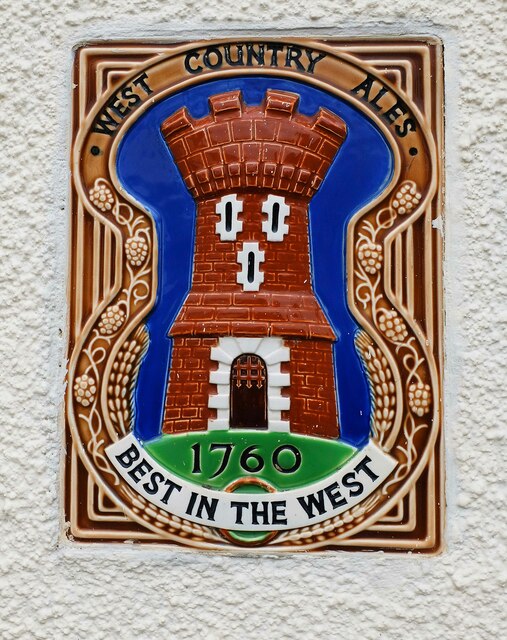
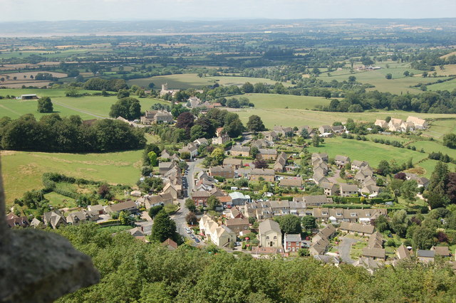
Waterley Bottom Images

Images are sourced within 2km of 51.66499/-2.3566564 or Grid Reference ST7596. Thanks to Geograph Open Source API. All images are credited.

The New Inn (1), Waterley Bottom, near Dursley, Glos Reached through a network of single track lanes, this public house has the feeling of being in the middle of nowhere. It is in fact not far from Dursley and also from the village of North Nibley. It is near the end of a cul-de-sac lane, although from the end there is a public footpath up Breakheart Hill. A good map or a Sat Nav system is recommended to find this pub, which has restricted opening hours. They are shown on its website.

Originally a farm cottage which served cider to workers in nearby industrial establishments. It seems to have become a pub around 1845. It still carries a range of ciders and also real ale etc. Food is served (see website) and there is a very attractive garden, and a car park.

<a href="https://www.geograph.org.uk/photo/6930531">ST7596 : The New Inn (2) - sign, Waterley Bottom, near Dursley, Glos</a>.
<a href="https://www.geograph.org.uk/photo/6930540">ST7596 : The New Inn (3) - garden, Waterley Bottom, near Dursley, Glos</a>.
<a href="https://www.geograph.org.uk/photo/6930544">ST7596 : The New Inn (4) - sculpture in garden, Waterley Bottom, near Dursley, Glos</a>.
<a href="https://www.geograph.org.uk/photo/6930554">ST7596 : The New Inn (5) - rear view, Waterley Bottom, near Dursley, Glos</a>.
The New Inn (1), Waterley Bottom, near Dursley, Glos
Reached through a network of single track lanes, this public house has the feeling of being in the middle of nowhere. It is in fact not far from Dursley and also from the village of North Nibley. It is near the end of a cul-de-sac lane, although from the end there is a public footpath up Breakheart Hill. A good map or a Sat Nav system is recommended to find this pub, which has restricted opening hours. They are shown on its website. Originally a farm cottage which served cider to workers in nearby industrial establishments. It seems to have become a pub around 1845. It still carries a range of ciders and also real ale etc. Food is served (see website) and there is a very attractive garden, and a car park. ST7596 : The New Inn (2) - sign, Waterley Bottom, near Dursley, Glos. ST7596 : The New Inn (3) - garden, Waterley Bottom, near Dursley, Glos. ST7596 : The New Inn (4) - sculpture in garden, Waterley Bottom, near Dursley, Glos. ST7596 : The New Inn (5) - rear view, Waterley Bottom, near Dursley, Glos.
The New Inn (2) - sign, Waterley Bottom, near Dursley, Glos The sign states the public house is a free house. The pub has been painted an attractive dark green colour since earlier photographs on this website were taken. 

Link to other photographs:- <a href="https://www.geograph.org.uk/photo/6930525">ST7596 : The New Inn (1), Waterley Bottom, near Dursley, Glos</a>.
The New Inn (2) - sign, Waterley Bottom, near Dursley, Glos
The sign states the public house is a free house. The pub has been painted an attractive dark green colour since earlier photographs on this website were taken. Link to other photographs:- ST7596 : The New Inn (1), Waterley Bottom, near Dursley, Glos.
The New Inn (3) - garden, Waterley Bottom, near Dursley, Glos Part of the pub's attractive garden.

Link to other photographs:- <a href="https://www.geograph.org.uk/photo/6930525">ST7596 : The New Inn (1), Waterley Bottom, near Dursley, Glos</a>.
The New Inn (3) - garden, Waterley Bottom, near Dursley, Glos
Part of the pub's attractive garden. Link to other photographs:- ST7596 : The New Inn (1), Waterley Bottom, near Dursley, Glos.
The New Inn (4) - sculpture in garden, Waterley Bottom, near Dursley, Glos This sculpture of a kingfisher can be found in the garden of The New Inn.

Link to other photographs:- <a href="https://www.geograph.org.uk/photo/6930525">ST7596 : The New Inn (1), Waterley Bottom, near Dursley, Glos</a>.
The New Inn (4) - sculpture in garden, Waterley Bottom, near Dursley, Glos
This sculpture of a kingfisher can be found in the garden of The New Inn. Link to other photographs:- ST7596 : The New Inn (1), Waterley Bottom, near Dursley, Glos.
The New Inn (5) - rear view, Waterley Bottom, near Dursley, Glos A view of the rear of the pub and part of the garden, from the car park.

Link to other photographs:- <a href="https://www.geograph.org.uk/photo/6930525">ST7596 : The New Inn (1), Waterley Bottom, near Dursley, Glos</a>.
The New Inn (5) - rear view, Waterley Bottom, near Dursley, Glos
A view of the rear of the pub and part of the garden, from the car park. Link to other photographs:- ST7596 : The New Inn (1), Waterley Bottom, near Dursley, Glos.
Dursley Methodist church Dates from 1864 <span class="nowrap"><a title="https://historicengland.org.uk/listing/the-list/list-entry/1219963" rel="nofollow ugc noopener" href="https://historicengland.org.uk/listing/the-list/list-entry/1219963">Link</a><img style="margin-left:2px;" alt="External link" title="External link - shift click to open in new window" src="https://s1.geograph.org.uk/img/external.png" width="10" height="10"/></span>
Dursley Methodist church
Dates from 1864 LinkExternal link
11 Woodmancote, Dursley A distinguished house of the early to mid eighteenth century <span class="nowrap"><a title="https://historicengland.org.uk/listing/the-list/list-entry/1220809" rel="nofollow ugc noopener" href="https://historicengland.org.uk/listing/the-list/list-entry/1220809">Link</a><img style="margin-left:2px;" alt="External link" title="External link - shift click to open in new window" src="https://s1.geograph.org.uk/img/external.png" width="10" height="10"/></span>
11 Woodmancote, Dursley
A distinguished house of the early to mid eighteenth century LinkExternal link
Stone Stile, North Nibley Off a u/c road SW of Park Farm. There is a rivet Benchmark representing 66,5 m ASL, see <span class="nowrap"><a title="http://benchmarks.mister.red/#ST74309677" rel="nofollow ugc noopener" href="http://benchmarks.mister.red/#ST74309677">Link</a><img style="margin-left:2px;" alt="External link" title="External link - shift click to open in new window" src="https://s1.geograph.org.uk/img/external.png" width="10" height="10"/></span>
Stone Stile, North Nibley
Off a u/c road SW of Park Farm. There is a rivet Benchmark representing 66,5 m ASL, see LinkExternal link
Stone Stile, Stinchcombe On the Cotswold Way, off Park Lane  looking North. The view South is <a href="https://www.geograph.org.uk/photo/7043443">ST7497 : Stone Stile, Stinchcombe</a>.
Stone Stile, Stinchcombe
On the Cotswold Way, off Park Lane looking North. The view South is ST7497 : Stone Stile, Stinchcombe.
Stone Stile, Stinchcombe On the Cotswold Way, looking South to Park Lane. The view North is <a href="https://www.geograph.org.uk/photo/7043442">ST7497 : Stone Stile, Stinchcombe</a>.
Stone Stile, Stinchcombe
On the Cotswold Way, looking South to Park Lane. The view North is ST7497 : Stone Stile, Stinchcombe.
Stone Stile, Stinchcombe Running near the B4060. Where the footpath exits onto the field. This is looking East from the field, the view West is <a href="https://www.geograph.org.uk/photo/7043448">ST7397 : Stone Stile, Stinchcombe</a>.
Stone Stile, Stinchcombe
Running near the B4060. Where the footpath exits onto the field. This is looking East from the field, the view West is ST7397 : Stone Stile, Stinchcombe.
Stone Stile, Stinchcombe Running near the B4060. Where the footpath exits onto the field. This is looking West, the view East is <a href="https://www.geograph.org.uk/photo/7043447">ST7397 : Stone Stile, Stinchcombe</a>.
Stone Stile, Stinchcombe
Running near the B4060. Where the footpath exits onto the field. This is looking West, the view East is ST7397 : Stone Stile, Stinchcombe.
Carpenters Arms (1), 32 Uley Road, Dursley, Glos Traditional public house which, according to the WhatPub website, currently offers real cider but no cask ales.

<a href="https://www.geograph.org.uk/photo/7053588">ST7697 : Carpenters Arms (2) - sign, 32 Uley Road, Dursley, Glos</a>.
Carpenters Arms (1), 32 Uley Road, Dursley, Glos
Traditional public house which, according to the WhatPub website, currently offers real cider but no cask ales. ST7697 : Carpenters Arms (2) - sign, 32 Uley Road, Dursley, Glos.
Carpenters Arms (2) - sign, 32 Uley Road, Dursley, Glos The rather faded sign of the Carpenters Arms.

<a href="https://www.geograph.org.uk/photo/7053579">ST7697 : Carpenters Arms (1), 32 Uley Road, Dursley, Glos</a>.
Carpenters Arms (2) - sign, 32 Uley Road, Dursley, Glos
The rather faded sign of the Carpenters Arms. ST7697 : Carpenters Arms (1), 32 Uley Road, Dursley, Glos.
New Inn (1), 82-84 Woodmancote Road, Dursley, Glos Two bar public house, with beer garden.

<a href="https://www.geograph.org.uk/photo/7054277">ST7597 : New Inn (2) - WCA brewery plaque, 82-84 Woodmancote Road, Dursley, Glos</a>.
New Inn (1), 82-84 Woodmancote Road, Dursley, Glos
New Inn (2) - WCA brewery plaque, 82-84 Woodmancote Road, Dursley, Glos The New Inn is one of many pubs in Gloucestershire that at one time sold West Country Ales, and still retains the WCA ceramic plaque. This brand eventually became part of the Whitbread empire, and around 1967 they discontinued the provision of these plaques. The one at the New Inn is immediately to the left of the main entrance.

<a href="https://www.geograph.org.uk/photo/7054269">ST7597 : New Inn (1), 82-84 Woodmancote Road, Dursley, Glos</a>.
New Inn (2) - WCA brewery plaque, 82-84 Woodmancote Road, Dursley, Glos
The New Inn is one of many pubs in Gloucestershire that at one time sold West Country Ales, and still retains the WCA ceramic plaque. This brand eventually became part of the Whitbread empire, and around 1967 they discontinued the provision of these plaques. The one at the New Inn is immediately to the left of the main entrance. ST7597 : New Inn (1), 82-84 Woodmancote Road, Dursley, Glos.
Stone Stile, Wotton-under-Edge A stone slab from the stile, now a "Fallen Idle". On Gloucestershire bridleway CWE95 looking South, the view looking North is <a href="https://www.geograph.org.uk/photo/7127050">ST7594 : Stone Stile, Wotton-under-Edge</a>.
Stone Stile, Wotton-under-Edge
A stone slab from the stile, now a "Fallen Idle". On Gloucestershire bridleway CWE95 looking South, the view looking North is ST7594 : Stone Stile, Wotton-under-Edge.
Stone Stile, Wotton-under-Edge A stone slab from the stile, now a "Fallen Idle". On Gloucestershire bridleway CWE95 looking North, the view looking South is <a href="https://www.geograph.org.uk/photo/7127049">ST7594 : Stone Stile, Wotton-under-Edge</a>.
Stone Stile, Wotton-under-Edge
A stone slab from the stile, now a "Fallen Idle". On Gloucestershire bridleway CWE95 looking North, the view looking South is ST7594 : Stone Stile, Wotton-under-Edge.
Show me another place!

Waterley Bottom is located at Grid Ref: ST7596 (Lat: 51.66499, Lng: -2.3566564)

Administrative County: Gloucestershire

District: Stroud

Police Authority: Gloucestershire

What 3 Words

///confined.chefs.structure. Near Dursley, Gloucestershire

Related Wikis

Woodmancote, Dursley

Woodmancote is a small village near Dursley in Gloucestershire, England.

Nibley Knoll

Nibley Knoll (grid reference ST744956) is a 3.2-hectare (7.9-acre) geological Site of Special Scientific Interest in Gloucestershire, notified in 1974...

Tyndale Monument

The Tyndale Monument is a tower built on a hill at North Nibley, Gloucestershire, England. It was built in honour of William Tyndale, an early translator...

North Nibley

North Nibley is a village in Gloucestershire, England about 1.9 miles (3 km) northwest of Wotton-under-Edge. == Name == The village is commonly known as...

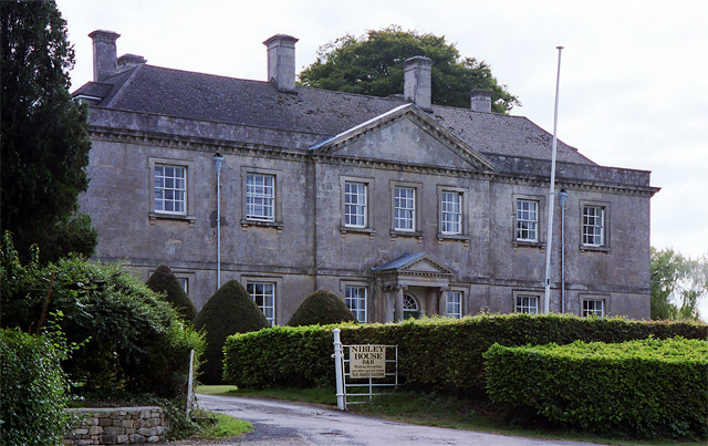
Nibley House, North Nibley

Nibley Hall, North Nibley in Gloucestershire is a Grade II* listed house on the English Heritage Register. The Neoclassical Georgian facade dates from...

Old Spot Inn

The Old Spot Inn is a pub in Dursley, Gloucestershire, England. It was CAMRA's National Pub of the Year for 2007. == References == == External links... ==

Dursley

Dursley is a market town and civil parish in the Stroud District of Gloucestershire, England. It lies between the cities of Bristol and Gloucester. It...

Dursley Town Hall

Dursley Town Hall, also known as Dursley Market Hall, is a municipal building in the Market Place, Dursley, Gloucestershire, England. The structure, which...

Nearby Amenities

Located within 500m of 51.66499,-2.3566564
Millend
Place: hamlet
Source: NPE
Lat/Long: 51.6665969/-2.3623287
Addr Housename: Bay Tree
Building: yes
Lat/Long: 51.6653967/-2.3633574
Addr Housename: Denewood
Building: yes
Lat/Long: 51.6656054/-2.3634193
Addr Housename: Hill Grove
Building: yes
Lat/Long: 51.6661097/-2.3618353
Breakheart Quarry
Leisure: nature_reserve
Lat/Long: 51.6691176/-2.3540174
Turning Circle
Lat/Long: 51.6651073/-2.3626211
Power: pole
Lat/Long: 51.6654923/-2.3637299
Power: pole
Lat/Long: 51.6656065/-2.3632344
Power: pole
Lat/Long: 51.6659094/-2.3626416
Power: pole
Lat/Long: 51.6669802/-2.3619529
Power: pole
Lat/Long: 51.6670394/-2.3622406
Power: pole
Lat/Long: 51.6671245/-2.3626329
Power: pole
Lat/Long: 51.6667047/-2.3618665
Power: pole
Lat/Long: 51.6663744/-2.3627711
Power: pole
Lat/Long: 51.6662344/-2.3619814
Power: pole
Lat/Long: 51.6659911/-2.3609894
Power: pole
Lat/Long: 51.6659816/-2.360963
Power: pole
Transformer: distribution
Lat/Long: 51.6624026/-2.355065
Power: pole
Lat/Long: 51.6650556/-2.3587648
Power: pole
Lat/Long: 51.6645731/-2.3576329
Power: pole
Lat/Long: 51.6642312/-2.3568249
Power: pole
Lat/Long: 51.6636547/-2.3554476
Power: pole
Lat/Long: 51.6621803/-2.3520616
Power: pole
Lat/Long: 51.6623975/-2.3525426
Power: pole
Lat/Long: 51.6630754/-2.3541152
Power: pole
Lat/Long: 51.6643684/-2.3532309
Power: pole
Lat/Long: 51.6643146/-2.3523585
Power: pole
Lat/Long: 51.6626949/-2.3531975
Power: pole
Lat/Long: 51.6634011/-2.3525042
Power: pole
Lat/Long: 51.6638201/-2.3520944
Power: pole
Lat/Long: 51.6642808/-2.3516536
Power: pole
Lat/Long: 51.6651949/-2.3517551
Power: pole
Lat/Long: 51.6658846/-2.3518431
Power: pole
Lat/Long: 51.6670955/-2.3519824
Power: pole
Lat/Long: 51.667395/-2.3522131
Power: pole
Lat/Long: 51.6674219/-2.3527956
Power: pole
Lat/Long: 51.6675086/-2.3545307
Power: pole
Lat/Long: 51.6677017/-2.3551014
Power: pole
Lat/Long: 51.667896/-2.3556667
Power: pole
Lat/Long: 51.6681029/-2.3562914
Waste Basket
Waste: dog_excrement
Lat/Long: 51.6685747/-2.3560905
Barrier: stile
Foot: yes
Material: wood
Stile: stepover
Lat/Long: 51.6676133/-2.3508286
Barrier: stile
Foot: yes
Material: wood
Stile: stepover
Lat/Long: 51.667415/-2.3527836
Barrier: stile
Foot: yes
Material: wood
Stile: stepover
Lat/Long: 51.6674021/-2.3531335
Bench
Backrest: yes
Material: wood
Lat/Long: 51.6690661/-2.356815
Bench
Backrest: yes
Inscription: Harris
Material: wood
Lat/Long: 51.6690796/-2.354193
Bench
Backrest: yes
Inscription: Neville Makinson
Material: wood
Lat/Long: 51.6684413/-2.3561357
Leisure: picnic_table
Lat/Long: 51.6682188/-2.3539107
Bench
Backrest: yes
Inscription: Kathleen Trull
Material: wood
Lat/Long: 51.668675/-2.3569005
Leisure: picnic_table
Lat/Long: 51.6690069/-2.3563656
Leisure: picnic_table
Lat/Long: 51.6681929/-2.3543833
Bench
Backrest: yes
Inscription: Mike Sweeting
Material: wood
Lat/Long: 51.6691719/-2.3539829
Leisure: picnic_table
Lat/Long: 51.6684365/-2.3562427
Power: pole
Lat/Long: 51.6633881/-2.3625393
Defibrillator
Emergency: defibrillator
Lat/Long: 51.6683455/-2.3566755
The data included in this document is from www.openstreetmap.org. The data is made available under ODbL.

Have you been to Waterley Bottom?

Leave your review of Waterley Bottom below (or comments, questions and feedback).