Breakheart Hill

Hill, Mountain in Gloucestershire Stroud

England

Breakheart Hill

The New Inn (1), Waterley Bottom, near Dursley, Glos Reached through a network of single track lanes, this public house has the feeling of being in the middle of nowhere. It is in fact not far from Dursley and also from the village of North Nibley. It is near the end of a cul-de-sac lane, although from the end there is a public footpath up Breakheart Hill. A good map or a Sat Nav system is recommended to find this pub, which has restricted opening hours. They are shown on its website.

Originally a farm cottage which served cider to workers in nearby industrial establishments. It seems to have become a pub around 1845. It still carries a range of ciders and also real ale etc. Food is served (see website) and there is a very attractive garden, and a car park.

<a href="https://www.geograph.org.uk/photo/6930531">ST7596 : The New Inn (2) - sign, Waterley Bottom, near Dursley, Glos</a>.
<a href="https://www.geograph.org.uk/photo/6930540">ST7596 : The New Inn (3) - garden, Waterley Bottom, near Dursley, Glos</a>.
<a href="https://www.geograph.org.uk/photo/6930544">ST7596 : The New Inn (4) - sculpture in garden, Waterley Bottom, near Dursley, Glos</a>.
<a href="https://www.geograph.org.uk/photo/6930554">ST7596 : The New Inn (5) - rear view, Waterley Bottom, near Dursley, Glos</a>.
The New Inn (1), Waterley Bottom, near Dursley, Glos Credit: P L Chadwick

Breakheart Hill is a prominent geographical feature located in Gloucestershire, England. Situated within the picturesque Cotswolds Area of Outstanding Natural Beauty, this hill is known for its stunning scenery and rich natural heritage. Rising to an elevation of approximately 246 meters (807 feet), it offers panoramic views of the surrounding countryside.

The hill derives its name from the Old English term "bræche" meaning "fern" and "heort" referring to a hart or male deer. Breakheart Hill is covered with a variety of ferns, contributing to its unique charm and beauty. Additionally, it is adorned with vibrant wildflowers and is home to a diverse range of wildlife, including birds, butterflies, and small mammals.

The hill is a popular destination for outdoor enthusiasts and nature lovers alike. It offers several walking trails that meander through its undulating terrain, providing opportunities for leisurely strolls or more challenging hikes. The paths are well-maintained, ensuring accessibility for visitors of all abilities. Along the way, visitors can admire the breathtaking views of the rolling Gloucestershire countryside, dotted with quaint villages and green pastures.

Breakheart Hill also holds historical significance, with evidence of prehistoric settlements in the surrounding area. The hill's strategic location has made it a site of interest for archaeologists and historians, who have uncovered artifacts and remains dating back centuries.

Overall, Breakheart Hill is a cherished natural landmark, combining scenic beauty, recreational opportunities, and cultural heritage. Whether one seeks tranquility, adventure, or a deeper understanding of the region's history, this Gloucestershire hill offers a memorable experience for all who visit.

If you have any feedback on the listing, please let us know in the comments section below.

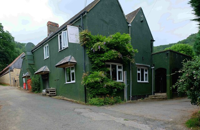
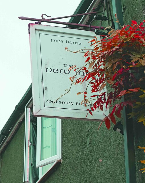
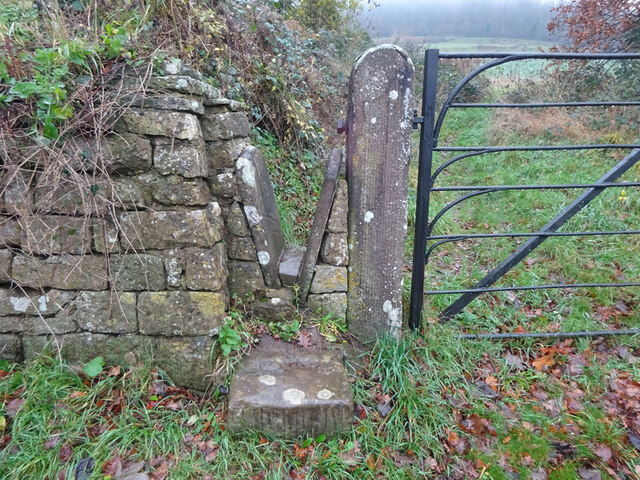
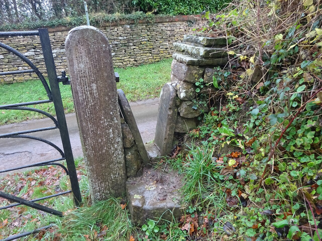
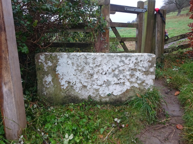
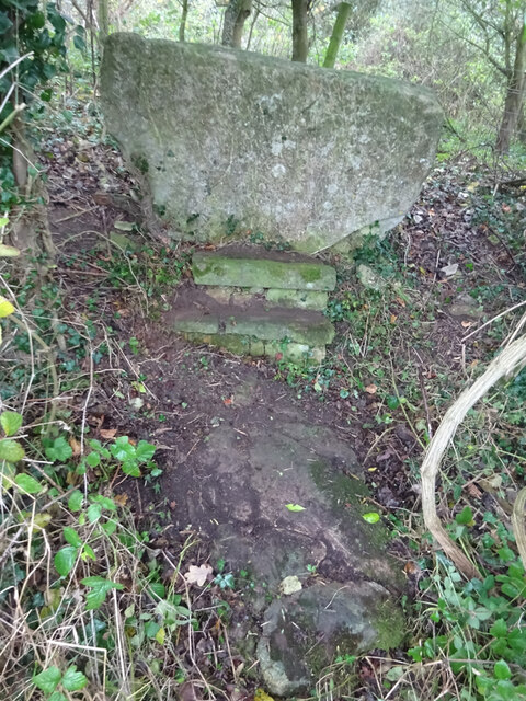
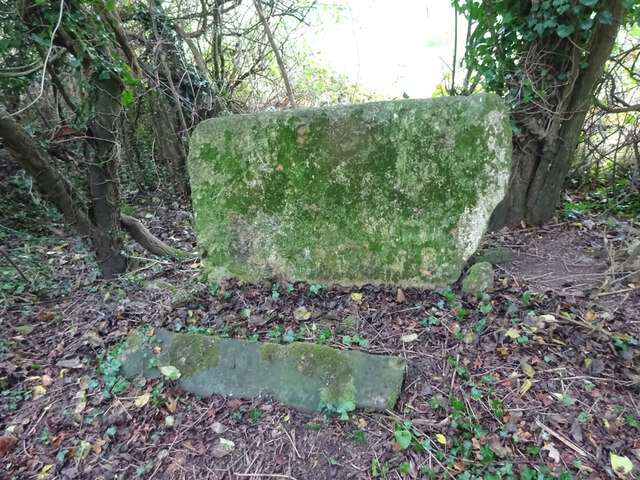
Breakheart Hill Images

Images are sourced within 2km of 51.670429/-2.3569884 or Grid Reference ST7596. Thanks to Geograph Open Source API. All images are credited.

The New Inn (1), Waterley Bottom, near Dursley, Glos Reached through a network of single track lanes, this public house has the feeling of being in the middle of nowhere. It is in fact not far from Dursley and also from the village of North Nibley. It is near the end of a cul-de-sac lane, although from the end there is a public footpath up Breakheart Hill. A good map or a Sat Nav system is recommended to find this pub, which has restricted opening hours. They are shown on its website.

Originally a farm cottage which served cider to workers in nearby industrial establishments. It seems to have become a pub around 1845. It still carries a range of ciders and also real ale etc. Food is served (see website) and there is a very attractive garden, and a car park.

<a href="https://www.geograph.org.uk/photo/6930531">ST7596 : The New Inn (2) - sign, Waterley Bottom, near Dursley, Glos</a>.
<a href="https://www.geograph.org.uk/photo/6930540">ST7596 : The New Inn (3) - garden, Waterley Bottom, near Dursley, Glos</a>.
<a href="https://www.geograph.org.uk/photo/6930544">ST7596 : The New Inn (4) - sculpture in garden, Waterley Bottom, near Dursley, Glos</a>.
<a href="https://www.geograph.org.uk/photo/6930554">ST7596 : The New Inn (5) - rear view, Waterley Bottom, near Dursley, Glos</a>.
The New Inn (1), Waterley Bottom, near Dursley, Glos
Reached through a network of single track lanes, this public house has the feeling of being in the middle of nowhere. It is in fact not far from Dursley and also from the village of North Nibley. It is near the end of a cul-de-sac lane, although from the end there is a public footpath up Breakheart Hill. A good map or a Sat Nav system is recommended to find this pub, which has restricted opening hours. They are shown on its website. Originally a farm cottage which served cider to workers in nearby industrial establishments. It seems to have become a pub around 1845. It still carries a range of ciders and also real ale etc. Food is served (see website) and there is a very attractive garden, and a car park. ST7596 : The New Inn (2) - sign, Waterley Bottom, near Dursley, Glos. ST7596 : The New Inn (3) - garden, Waterley Bottom, near Dursley, Glos. ST7596 : The New Inn (4) - sculpture in garden, Waterley Bottom, near Dursley, Glos. ST7596 : The New Inn (5) - rear view, Waterley Bottom, near Dursley, Glos.
The New Inn (2) - sign, Waterley Bottom, near Dursley, Glos The sign states the public house is a free house. The pub has been painted an attractive dark green colour since earlier photographs on this website were taken. 

Link to other photographs:- <a href="https://www.geograph.org.uk/photo/6930525">ST7596 : The New Inn (1), Waterley Bottom, near Dursley, Glos</a>.
The New Inn (2) - sign, Waterley Bottom, near Dursley, Glos
The sign states the public house is a free house. The pub has been painted an attractive dark green colour since earlier photographs on this website were taken. Link to other photographs:- ST7596 : The New Inn (1), Waterley Bottom, near Dursley, Glos.
The New Inn (3) - garden, Waterley Bottom, near Dursley, Glos Part of the pub's attractive garden.

Link to other photographs:- <a href="https://www.geograph.org.uk/photo/6930525">ST7596 : The New Inn (1), Waterley Bottom, near Dursley, Glos</a>.
The New Inn (3) - garden, Waterley Bottom, near Dursley, Glos
Part of the pub's attractive garden. Link to other photographs:- ST7596 : The New Inn (1), Waterley Bottom, near Dursley, Glos.
The New Inn (4) - sculpture in garden, Waterley Bottom, near Dursley, Glos This sculpture of a kingfisher can be found in the garden of The New Inn.

Link to other photographs:- <a href="https://www.geograph.org.uk/photo/6930525">ST7596 : The New Inn (1), Waterley Bottom, near Dursley, Glos</a>.
The New Inn (4) - sculpture in garden, Waterley Bottom, near Dursley, Glos
This sculpture of a kingfisher can be found in the garden of The New Inn. Link to other photographs:- ST7596 : The New Inn (1), Waterley Bottom, near Dursley, Glos.
The New Inn (5) - rear view, Waterley Bottom, near Dursley, Glos A view of the rear of the pub and part of the garden, from the car park.

Link to other photographs:- <a href="https://www.geograph.org.uk/photo/6930525">ST7596 : The New Inn (1), Waterley Bottom, near Dursley, Glos</a>.
The New Inn (5) - rear view, Waterley Bottom, near Dursley, Glos
A view of the rear of the pub and part of the garden, from the car park. Link to other photographs:- ST7596 : The New Inn (1), Waterley Bottom, near Dursley, Glos.
Dursley Methodist church Dates from 1864 <span class="nowrap"><a title="https://historicengland.org.uk/listing/the-list/list-entry/1219963" rel="nofollow ugc noopener" href="https://historicengland.org.uk/listing/the-list/list-entry/1219963">Link</a><img style="margin-left:2px;" alt="External link" title="External link - shift click to open in new window" src="https://s1.geograph.org.uk/img/external.png" width="10" height="10"/></span>
Dursley Methodist church
Dates from 1864 LinkExternal link
11 Woodmancote, Dursley A distinguished house of the early to mid eighteenth century <span class="nowrap"><a title="https://historicengland.org.uk/listing/the-list/list-entry/1220809" rel="nofollow ugc noopener" href="https://historicengland.org.uk/listing/the-list/list-entry/1220809">Link</a><img style="margin-left:2px;" alt="External link" title="External link - shift click to open in new window" src="https://s1.geograph.org.uk/img/external.png" width="10" height="10"/></span>
11 Woodmancote, Dursley
A distinguished house of the early to mid eighteenth century LinkExternal link
Stone Stile, North Nibley Off a u/c road SW of Park Farm. There is a rivet Benchmark representing 66,5 m ASL, see <span class="nowrap"><a title="http://benchmarks.mister.red/#ST74309677" rel="nofollow ugc noopener" href="http://benchmarks.mister.red/#ST74309677">Link</a><img style="margin-left:2px;" alt="External link" title="External link - shift click to open in new window" src="https://s1.geograph.org.uk/img/external.png" width="10" height="10"/></span>
Stone Stile, North Nibley
Off a u/c road SW of Park Farm. There is a rivet Benchmark representing 66,5 m ASL, see LinkExternal link
Stone Stile, Stinchcombe Looking from Park Lane. The view looking out is <a href="https://www.geograph.org.uk/photo/7043435">ST7397 : Stone Stile, Stinchcombe</a>.
Stone Stile, Stinchcombe
Looking from Park Lane. The view looking out is ST7397 : Stone Stile, Stinchcombe.
Stone Stile, Stinchcombe Looking out to Park Lane. The view looking in is <a href="https://www.geograph.org.uk/photo/7043434">ST7397 : Stone Stile, Stinchcombe</a>.
Stone Stile, Stinchcombe
Looking out to Park Lane. The view looking in is ST7397 : Stone Stile, Stinchcombe.
Stone Stile, Stinchcombe On the Cotswold Way, off Park Lane  looking North. The view South is <a href="https://www.geograph.org.uk/photo/7043443">ST7497 : Stone Stile, Stinchcombe</a>.
Stone Stile, Stinchcombe
On the Cotswold Way, off Park Lane looking North. The view South is ST7497 : Stone Stile, Stinchcombe.
Stone Stile, Stinchcombe On the Cotswold Way, looking South to Park Lane. The view North is <a href="https://www.geograph.org.uk/photo/7043442">ST7497 : Stone Stile, Stinchcombe</a>.
Stone Stile, Stinchcombe
On the Cotswold Way, looking South to Park Lane. The view North is ST7497 : Stone Stile, Stinchcombe.
Stone Stile, Stinchcombe Running near the B4060. Where the footpath exits onto the field. This is looking East from the field, the view West is <a href="https://www.geograph.org.uk/photo/7043448">ST7397 : Stone Stile, Stinchcombe</a>.
Stone Stile, Stinchcombe
Running near the B4060. Where the footpath exits onto the field. This is looking East from the field, the view West is ST7397 : Stone Stile, Stinchcombe.
Stone Stile, Stinchcombe Running near the B4060. Where the footpath exits onto the field. This is looking West, the view East is <a href="https://www.geograph.org.uk/photo/7043447">ST7397 : Stone Stile, Stinchcombe</a>.
Stone Stile, Stinchcombe
Running near the B4060. Where the footpath exits onto the field. This is looking West, the view East is ST7397 : Stone Stile, Stinchcombe.
Carpenters Arms (1), 32 Uley Road, Dursley, Glos Traditional public house which, according to the WhatPub website, currently offers real cider but no cask ales.

<a href="https://www.geograph.org.uk/photo/7053588">ST7697 : Carpenters Arms (2) - sign, 32 Uley Road, Dursley, Glos</a>.
Carpenters Arms (1), 32 Uley Road, Dursley, Glos
Traditional public house which, according to the WhatPub website, currently offers real cider but no cask ales. ST7697 : Carpenters Arms (2) - sign, 32 Uley Road, Dursley, Glos.
Carpenters Arms (2) - sign, 32 Uley Road, Dursley, Glos The rather faded sign of the Carpenters Arms.

<a href="https://www.geograph.org.uk/photo/7053579">ST7697 : Carpenters Arms (1), 32 Uley Road, Dursley, Glos</a>.
Carpenters Arms (2) - sign, 32 Uley Road, Dursley, Glos
The rather faded sign of the Carpenters Arms. ST7697 : Carpenters Arms (1), 32 Uley Road, Dursley, Glos.
New Inn (1), 82-84 Woodmancote Road, Dursley, Glos Two bar public house, with beer garden.

<a href="https://www.geograph.org.uk/photo/7054277">ST7597 : New Inn (2) - WCA brewery plaque, 82-84 Woodmancote Road, Dursley, Glos</a>.
New Inn (1), 82-84 Woodmancote Road, Dursley, Glos
New Inn (2) - WCA brewery plaque, 82-84 Woodmancote Road, Dursley, Glos The New Inn is one of many pubs in Gloucestershire that at one time sold West Country Ales, and still retains the WCA ceramic plaque. This brand eventually became part of the Whitbread empire, and around 1967 they discontinued the provision of these plaques. The one at the New Inn is immediately to the left of the main entrance.

<a href="https://www.geograph.org.uk/photo/7054269">ST7597 : New Inn (1), 82-84 Woodmancote Road, Dursley, Glos</a>.
New Inn (2) - WCA brewery plaque, 82-84 Woodmancote Road, Dursley, Glos
The New Inn is one of many pubs in Gloucestershire that at one time sold West Country Ales, and still retains the WCA ceramic plaque. This brand eventually became part of the Whitbread empire, and around 1967 they discontinued the provision of these plaques. The one at the New Inn is immediately to the left of the main entrance. ST7597 : New Inn (1), 82-84 Woodmancote Road, Dursley, Glos.
Show me another place!

Breakheart Hill is located at Grid Ref: ST7596 (Lat: 51.670429, Lng: -2.3569884)

Administrative County: Gloucestershire

District: Stroud

Police Authority: Gloucestershire

What 3 Words

///flaunting.canyons.plants. Near Dursley, Gloucestershire

Related Wikis

Woodmancote, Dursley

Woodmancote is a small village near Dursley in Gloucestershire, England.
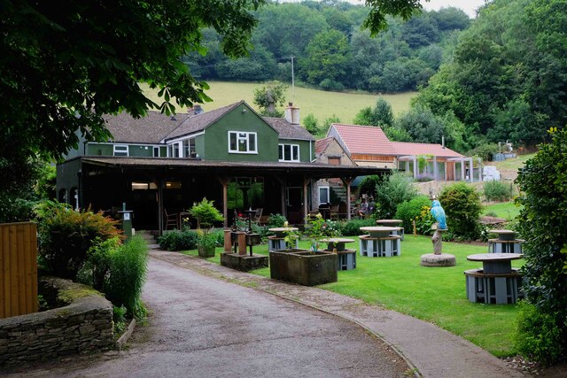
Old Spot Inn

The Old Spot Inn is a pub in Dursley, Gloucestershire, England. It was CAMRA's National Pub of the Year for 2007. == References == == External links... ==

Dursley

Dursley is a market town and civil parish in the Stroud District of Gloucestershire, England. It lies between the cities of Bristol and Gloucester. It...
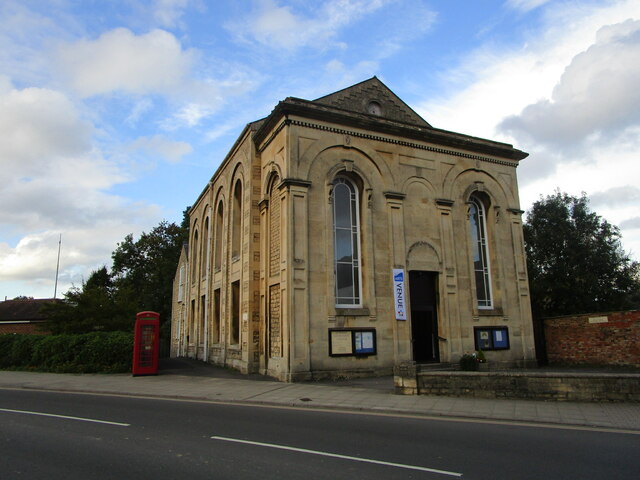
Dursley Town Hall

Dursley Town Hall, also known as Dursley Market Hall, is a municipal building in the Market Place, Dursley, Gloucestershire, England. The structure, which...

Lister Hall

For the student hall of residence in Alberta, Canada, also known as Lister Hall, see Lister Centre. Lister Hall is a theatre, in Dursley, Gloucestershire...

Vale of Berkeley

The Vale of Berkeley (sometimes known as Berkeley Vale) is an area in Gloucestershire, England. It lies between the River Severn and the Cotswold Edge...

Dursley railway station

Dursley railway station served the town of Dursley in Gloucestershire, England, and was the terminus of the short Dursley and Midland Junction Railway...

Nibley Knoll

Nibley Knoll (grid reference ST744956) is a 3.2-hectare (7.9-acre) geological Site of Special Scientific Interest in Gloucestershire, notified in 1974...
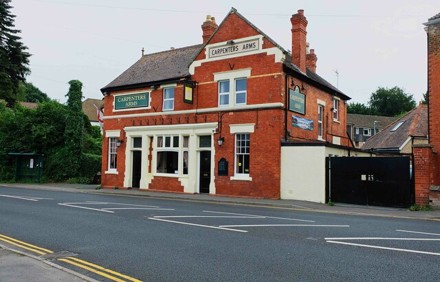
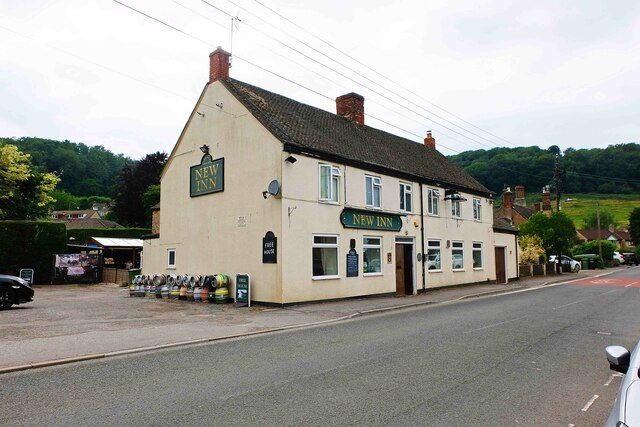
Nearby Amenities

Located within 500m of 51.670429,-2.3569884
Breakheart Quarry
Leisure: nature_reserve
Lat/Long: 51.6691176/-2.3540174
Power: pole
Lat/Long: 51.667395/-2.3522131
Power: pole
Lat/Long: 51.6674219/-2.3527956
Power: pole
Lat/Long: 51.6675086/-2.3545307
Power: pole
Lat/Long: 51.6677017/-2.3551014
Power: pole
Lat/Long: 51.667896/-2.3556667
Power: pole
Lat/Long: 51.6681029/-2.3562914
Waste Basket
Waste: dog_excrement
Lat/Long: 51.6703741/-2.3564174
Waste Basket
Waste: dog_excrement
Lat/Long: 51.6685747/-2.3560905
Barrier: stile
Foot: yes
Material: wood
Stile: stepover
Lat/Long: 51.667415/-2.3527836
Barrier: stile
Foot: yes
Material: wood
Stile: stepover
Lat/Long: 51.6674021/-2.3531335
Bench
Backrest: yes
Material: wood
Lat/Long: 51.6690661/-2.356815
Bench
Backrest: yes
Inscription: Harris
Material: wood
Lat/Long: 51.6690796/-2.354193
Bench
Backrest: no
Material: wood
Lat/Long: 51.6699072/-2.3575216
Bench
Backrest: yes
Inscription: Neville Makinson
Material: wood
Lat/Long: 51.6684413/-2.3561357
Leisure: picnic_table
Lat/Long: 51.6682188/-2.3539107
Bench
Backrest: yes
Material: wood
Lat/Long: 51.6702352/-2.357005
Bench
Backrest: yes
Inscription: Kathleen Trull
Material: wood
Lat/Long: 51.668675/-2.3569005
Bench
Backrest: no
Material: wood
Lat/Long: 51.6698715/-2.3549541
Leisure: picnic_table
Lat/Long: 51.6690069/-2.3563656
Leisure: picnic_table
Lat/Long: 51.6681929/-2.3543833
Bench
Backrest: yes
Inscription: Mike Sweeting
Material: wood
Lat/Long: 51.6691719/-2.3539829
Bench
Backrest: yes
Material: wood
Lat/Long: 51.6703416/-2.3573369
Leisure: picnic_table
Lat/Long: 51.6684365/-2.3562427
Bench
Backrest: yes
Inscription: Paul Spriggd
Material: wood
Lat/Long: 51.6702654/-2.3568161
Waste Basket
Lat/Long: 51.670257/-2.3570135
Defibrillator
Emergency: defibrillator
Lat/Long: 51.6683455/-2.3566755
Barrier: kissing_gate
Lat/Long: 51.6697994/-2.3542264
Noexit: yes
Lat/Long: 51.6703156/-2.3513573
Fixme: Continues. Needs survey.
Lat/Long: 51.6711937/-2.3512228
Fixme: Continues. Needs survey.
Lat/Long: 51.6707126/-2.3511321
Fixme: Continues. Needs survey.
Lat/Long: 51.6706564/-2.3505489
The data included in this document is from www.openstreetmap.org. The data is made available under ODbL.

Have you been to Breakheart Hill?

Leave your review of Breakheart Hill below (or comments, questions and feedback).