Eden's Hill

Hill, Mountain in Gloucestershire Forest of Dean

England

Eden's Hill

Upleadon Mill A disused watermill that still retains some machinery and has a wheel thought to be a Poncelet design. Unfortunately the wheel is so overgrown that it is barely visible. It might be clearer in the winter.
Upleadon Mill Credit: Chris Allen

Eden's Hill is a prominent geographical feature located in Gloucestershire, England. Situated in the southern part of the county, it is classified as a hill rather than a mountain due to its elevation, which although significant, does not meet the criteria required to be designated as a mountain.

The hill is named after the town of Eden's Hill, which is located at its base. It is part of the picturesque Cotswold Hills, a range renowned for its natural beauty and stunning landscapes. Eden's Hill rises to an impressive height of approximately 300 meters (984 feet) above sea level, providing visitors with breathtaking panoramic views of the surrounding countryside.

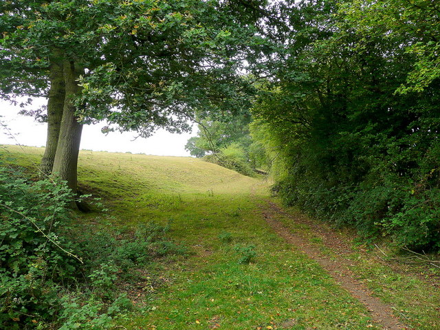
Covered in lush green vegetation, the hill is home to a diverse range of plant and animal species, making it a popular spot for nature enthusiasts and wildlife photographers. Its slopes are carpeted with wildflowers during the spring and summer months, creating a vibrant and colorful spectacle.

The summit of Eden's Hill is accessible via a well-maintained network of footpaths and trails, allowing visitors to explore the area on foot. The hill attracts hikers and walkers who enjoy challenging themselves with its steep gradients and rewarding themselves with the stunning vistas at the top.

In addition to its natural beauty, Eden's Hill also boasts historical significance. The ruins of an ancient castle can be found at its foothills, serving as a reminder of the area's rich history and heritage.

Overall, Eden's Hill in Gloucestershire offers a captivating blend of natural splendor, outdoor recreational opportunities, and historical intrigue, making it a must-visit destination for both locals and tourists alike.

If you have any feedback on the listing, please let us know in the comments section below.
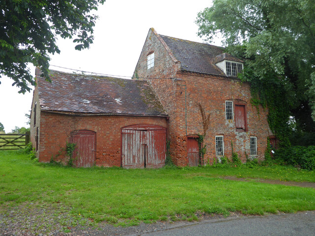
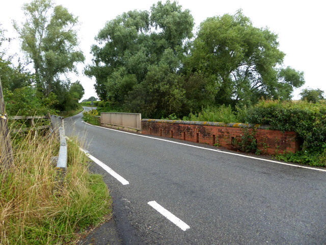
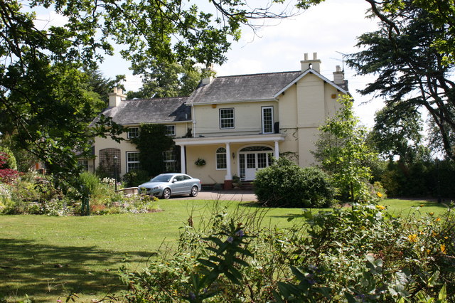
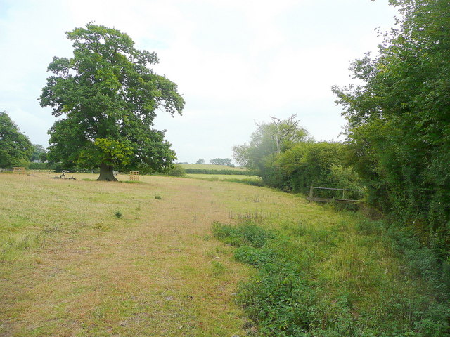
Eden's Hill Images

Images are sourced within 2km of 51.944478/-2.3589869 or Grid Reference SO7527. Thanks to Geograph Open Source API. All images are credited.

Upleadon Mill A disused watermill that still retains some machinery and has a wheel thought to be a Poncelet design. Unfortunately the wheel is so overgrown that it is barely visible. It might be clearer in the winter.
Upleadon Mill
A disused watermill that still retains some machinery and has a wheel thought to be a Poncelet design. Unfortunately the wheel is so overgrown that it is barely visible. It might be clearer in the winter.
Road over the River Leadon Upleadon Mill is hidden behind the trees to the right of the road.
Road over the River Leadon
Upleadon Mill is hidden behind the trees to the right of the road.
St Mary the Virgin Church, Upleadon
Upleadon Court
Upleadon Court
Upleadon - Church of St Mary
Upleadon Village, Detached dwelling Detached dwelling on the outskirts of Upleadon village, Gloucestershire.
Upleadon Village, Detached dwelling
Detached dwelling on the outskirts of Upleadon village, Gloucestershire.
Upleadon Crossroads Upleadon Crossroads, Gloucestershire. Note the Public telephone box. Most of these are disappearing due to the dominance of mobile phones.
Upleadon Crossroads
Upleadon Crossroads, Gloucestershire. Note the Public telephone box. Most of these are disappearing due to the dominance of mobile phones.
Upleadon Court Upleadon Court with Church - Note the timber framing within the church building.
Upleadon Court
Upleadon Court with Church - Note the timber framing within the church building.
St. Mary's church and Upleadon Court Viewed from the north, across the gridline.
St. Mary's church and Upleadon Court
Viewed from the north, across the gridline.
Edge of pasture The public footpath from the Leadon to Upleadon follows the field edge here.
Edge of pasture
The public footpath from the Leadon to Upleadon follows the field edge here.
Collinpark Wood 1 Straight path through the wood looking north-east.
Collinpark Wood 1
Straight path through the wood looking north-east.
Collinpark Wood 2 The opposite view to <a href="https://www.geograph.org.uk/photo/2549365">SO7527 : Collinpark Wood 1</a>.
Collinpark Wood 2
The opposite view to SO7527 : Collinpark Wood 1.
Wheat field in the Vale of Leadon The footpath follows the field edge to the right.
In the distance is Chase End Hill - the southerly outpost of the Malvern Hills.
Wheat field in the Vale of Leadon
The footpath follows the field edge to the right. In the distance is Chase End Hill - the southerly outpost of the Malvern Hills.
Footpath junction ahead Looking north-east towards the Leadon Bridge just beyond the oak.
The path to Upleadon joins at the footbridge to the right.
Footpath junction ahead
Looking north-east towards the Leadon Bridge just beyond the oak. The path to Upleadon joins at the footbridge to the right.
Pastoral land To the east of Everes's Farm; the footpath to Witherdine follows the field edge.
Pastoral land
To the east of Everes's Farm; the footpath to Witherdine follows the field edge.
The Vale of Leadon Watermeadows south of Everes's Farm.
The Vale of Leadon
Watermeadows south of Everes's Farm.
Fallen oak By the path to Upleadon from Witherdine.
Fallen oak
By the path to Upleadon from Witherdine.
View from Eden's Hill Looking south-west towards the ubiguitous view of May Hill.
View from Eden's Hill
Looking south-west towards the ubiguitous view of May Hill.
Show me another place!

Eden's Hill is located at Grid Ref: SO7527 (Lat: 51.944478, Lng: -2.3589869)

Administrative County: Gloucestershire

District: Forest of Dean

Police Authority: Gloucestershire

What 3 Words

///demand.intrigued.repaying. Near Newent, Gloucestershire

Related Wikis

Nearby Amenities

Located within 500m of 51.944478,-2.3589869
Public Bookcase
Upleadon Book Box
Booth: K6
Disused Amenity: telephone
Man Made: telephone_box
Public Bookcase Type: phone_box
Lat/Long: 51.9412354/-2.3626367
Eden Hill
Created By: Potlatch 0.10f
Natural: peak
Source: NPE
Lat/Long: 51.9443343/-2.3524155
Bus Stop
The Cross
Naptan AtcoCode: 1600GL4965
Naptan Bearing: NW
Naptan CommonName: The Cross
Naptan NaptanCode: gloapmam
Naptan Street: Gloucester Rd
Naptan Verified: no
Source: naptan_import
Lat/Long: 51.9411729/-2.3625666
Bus Stop
The Cross
Naptan AtcoCode: 1600GL4966
Naptan Bearing: SE
Naptan CommonName: The Cross
Naptan NaptanCode: gloapmdm
Naptan Street: Gloucester Rd
Naptan Verified: no
Source: naptan_import
Lat/Long: 51.9410391/-2.3622309
Bus Stop
The Cross
Naptan AtcoCode: 1600GLN096
Naptan Bearing: S
Naptan CommonName: The Cross
Naptan NaptanCode: glogmagj
Naptan Street: Eden's Hill
Naptan Verified: no
Source: naptan_import
Lat/Long: 51.941353/-2.3624808
Post Box
Post Box Type: wall
Ref: GL18 41
Royal Cypher: VR
Royal Cypher Wikidata: Q33102356
Lat/Long: 51.941297/-2.3624352
Historic: memorial
Memorial: war_memorial
Lat/Long: 51.9411595/-2.3623272
Power: pole
Lat/Long: 51.9404933/-2.3570663
Power: pole
Lat/Long: 51.9412159/-2.3562133
Hill Farm Upleadon
Power: pole
Transformer: distribution
Voltage Primary: 11000
Lat/Long: 51.9419253/-2.3561141
Hill Farm Sewage
Power: pole
Transformer: distribution
Voltage Primary: 11000
Lat/Long: 51.9423056/-2.3551565
Location Transition: yes
Power: pole
Lat/Long: 51.9407724/-2.3598309
Power: pole
Lat/Long: 51.9408364/-2.3583095
Power: pole
Lat/Long: 51.9409009/-2.3569577
Power: pole
Lat/Long: 51.9408704/-2.3561919
Power: pole
Lat/Long: 51.9408456/-2.3554436
Power: pole
Lat/Long: 51.9404586/-2.3597203
Madams Wood Reservoir
Power: pole
Transformer: distribution
Voltage Primary: 11000
Lat/Long: 51.9431257/-2.3639515
Location Transition: yes
Power: pole
Lat/Long: 51.9424635/-2.3636498
Power: pole
Lat/Long: 51.9421708/-2.3646945
Edens Hill
Power: pole
Transformer: distribution
Voltage Primary: 11000
Lat/Long: 51.9421005/-2.3631616
Power: pole
Lat/Long: 51.9420212/-2.3636659
Power: pole
Lat/Long: 51.9415991/-2.3637121
Location Transition: yes
Power: pole
Lat/Long: 51.9412618/-2.3634861
Upleadon
Power: pole
Transformer: distribution
Voltage Primary: 11000
Lat/Long: 51.9406318/-2.3618487
The data included in this document is from www.openstreetmap.org. The data is made available under ODbL.

Have you been to Eden's Hill?

Leave your review of Eden's Hill below (or comments, questions and feedback).