Combe Down
Settlement in Somerset
England
Combe Down

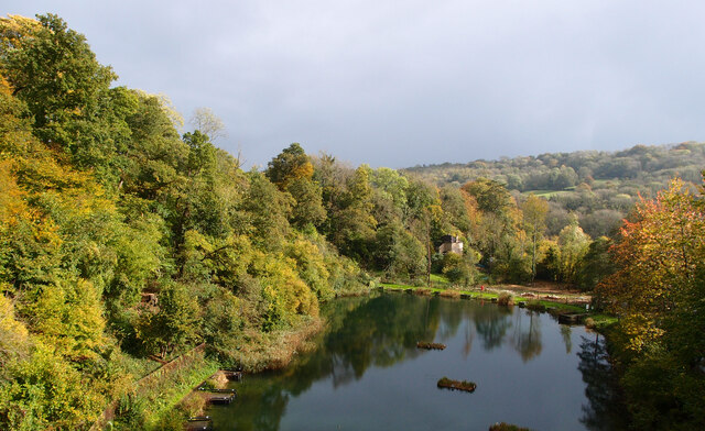
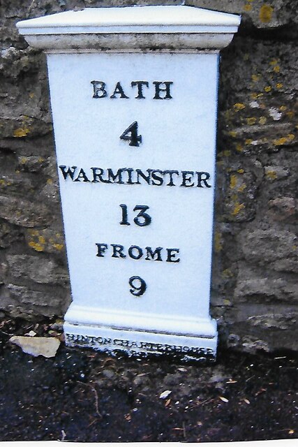
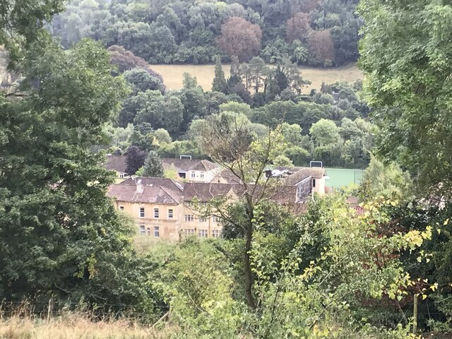
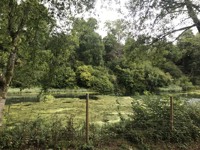
Combe Down is a small village located in the county of Somerset, England. Situated on the southern outskirts of the city of Bath, it is part of the Bath and North East Somerset district. The village is nestled in the picturesque countryside, surrounded by rolling hills and verdant landscapes.
Combe Down is renowned for its historical significance, particularly for its famous stone mines. These mines were a significant source of Bath Stone, a limestone used extensively in the construction of the nearby city of Bath. The underground quarries, known as the Combe Down Mines, were in operation from the 17th century until the early 20th century. Today, the mines are a designated World Heritage Site and attract visitors interested in exploring the underground chambers and learning about the mining history.
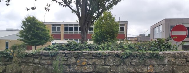
The village itself features a charming mix of traditional stone-built houses, cottages, and modern buildings. It has a close-knit community and a friendly atmosphere, making it an attractive place to live or visit. The local amenities include a primary school, a church, a community center, a few shops, and a pub.
Combe Down is well-connected to the nearby city of Bath, with regular bus services providing easy access to the city center. The village is also conveniently located near the University of Bath, making it a popular place of residence for students and academics.
Overall, Combe Down offers a unique blend of history, natural beauty, and community spirit, making it a delightful place to experience the charm of the English countryside.
If you have any feedback on the listing, please let us know in the comments section below.
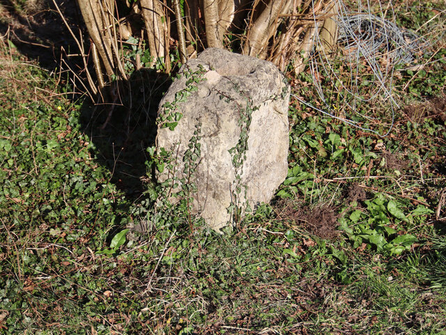
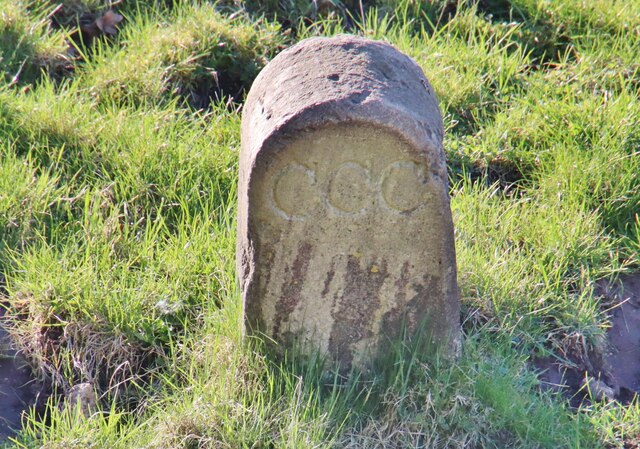
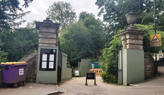
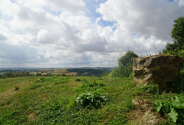
Combe Down Images
Images are sourced within 2km of 51.356215/-2.353975 or Grid Reference ST7561. Thanks to Geograph Open Source API. All images are credited.


Combe Down is located at Grid Ref: ST7561 (Lat: 51.356215, Lng: -2.353975)
Unitary Authority: Bath and North East Somerset
Police Authority: Avon and Somerset
What 3 Words
///looked.nods.crazy. Near Bath, Somerset
Nearby Locations
Related Wikis
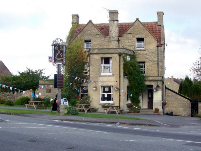
Cross Keys Inn
The Cross Keys Inn is a pub-restaurant and former coaching inn, trading since before 1750, on a corner of Midford Road in Odd Down, Bath, Somerset, England...

Midford Castle
Midford Castle is a folly castle in the village of Midford, and the parish of Southstoke 3 miles (5 km) south of Bath, Somerset, England. The castle was...
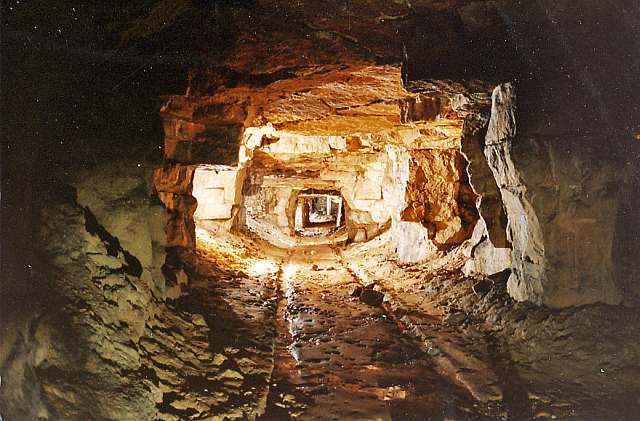
Combe Down and Bathampton Down Mines
Combe Down and Bathampton Down Quarries (grid reference ST761625) make up a 6.22 hectare (15.37 acre) Site of Special Scientific Interest (SSSI) in Bath...

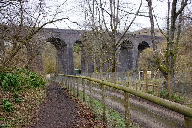
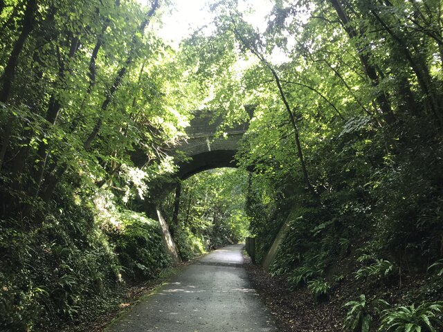
Combe Down Tunnel
Combe Down Tunnel is on the now-closed Somerset and Dorset Joint Railway main line, between Midford and Bath Green Park railway station, below high ground...

Combe Down
Combe Down is a village on the outskirts of Bath, England, in the Bath and North East Somerset unitary authority area, within the ceremonial county of...

Southstoke
Southstoke is a small village and civil parish in north east Somerset, England. In 2004 the parish council requested that the name be formally changed...

Packhorse Inn
The Packhorse Inn in Southstoke within the English county of Somerset is a Grade II listed building which was largely rebuilt in 1674. It was changed from...
Church of St James, Southstoke
The Church of St James is an Anglican parish church in Southstoke, Somerset, England. It was built in the 12th century and has been designated as a Grade...
Nearby Amenities
Located within 500m of 51.356215,-2.353975Have you been to Combe Down?
Leave your review of Combe Down below (or comments, questions and feedback).