Combe Down
Downs, Moorland in Somerset
England
Combe Down

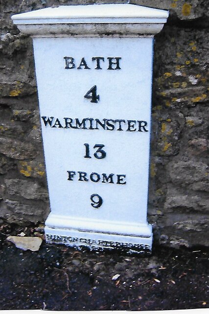
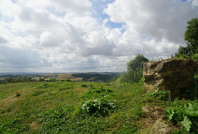
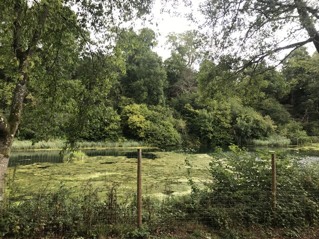
Combe Down is a picturesque village located in the county of Somerset, England. Situated on the southern edge of Bath, it offers a perfect blend of rural charm and convenient access to the city. The village is nestled amidst the rolling Combe Down Downs and Moorland, which provide breathtaking views of the surrounding countryside.
Combe Down is renowned for its historical significance, particularly due to the presence of the Combe Down Stone Mines. These mines played a crucial role in supplying the Bath stone used in the construction of the iconic buildings in Bath, including the famous Bath Abbey. Today, the mines have been converted into a fascinating underground museum, attracting visitors from far and wide.
The village itself boasts a range of amenities, making it an ideal place to live or visit. The local community takes pride in its well-maintained parks and green spaces, allowing residents to enjoy outdoor activities such as picnics and leisurely walks. Combe Down also has a thriving village center, featuring a variety of shops, cafes, and restaurants that cater to residents and tourists alike.
Transportation in Combe Down is efficient, with regular bus services connecting the village to Bath and other nearby towns. Additionally, the village has good road links, making it easily accessible by car.
Overall, Combe Down offers a tranquil and idyllic setting, perfect for those seeking a peaceful retreat while still being within easy reach of urban amenities. Its rich history, natural beauty, and welcoming community make it a delightful place to explore and call home.
If you have any feedback on the listing, please let us know in the comments section below.
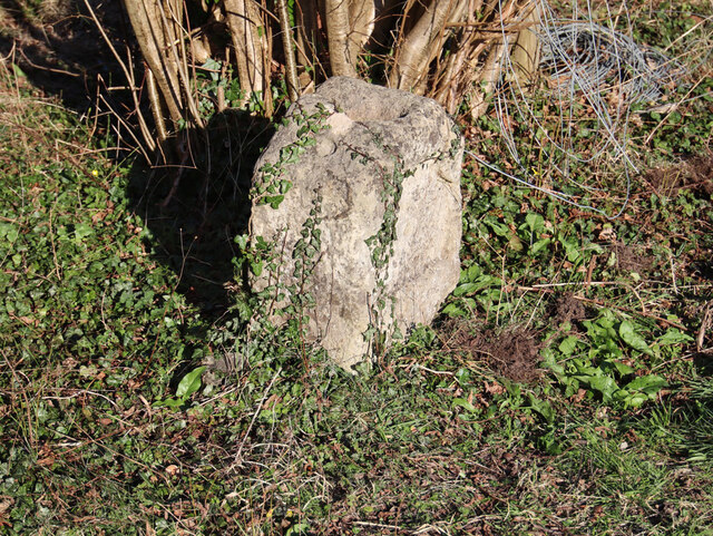
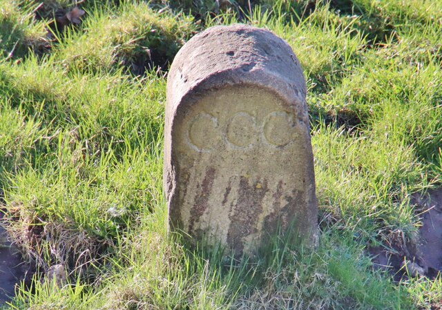
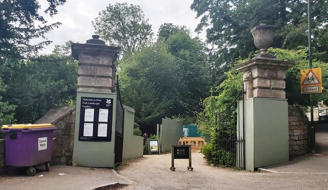
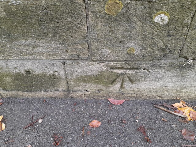
Combe Down Images
Images are sourced within 2km of 51.35636/-2.3558613 or Grid Reference ST7561. Thanks to Geograph Open Source API. All images are credited.


Combe Down is located at Grid Ref: ST7561 (Lat: 51.35636, Lng: -2.3558613)
Unitary Authority: Bath and North East Somerset
Police Authority: Avon and Somerset
What 3 Words
///tries.petty.cried. Near Bath, Somerset
Nearby Locations
Related Wikis
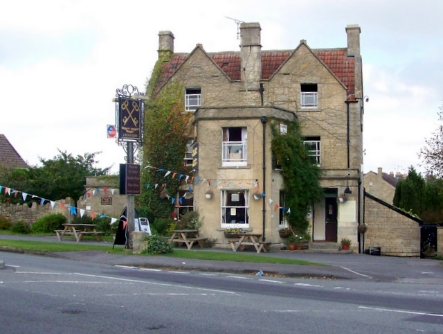
Cross Keys Inn
The Cross Keys Inn is a pub-restaurant and former coaching inn, trading since before 1750, on a corner of Midford Road in Odd Down, Bath, Somerset, England...

Midford Castle
Midford Castle is a folly castle in the village of Midford, and the parish of Southstoke 3 miles (5 km) south of Bath, Somerset, England. The castle was...

Southstoke
Southstoke is a small village and civil parish in north east Somerset, England. In 2004 the parish council requested that the name be formally changed...
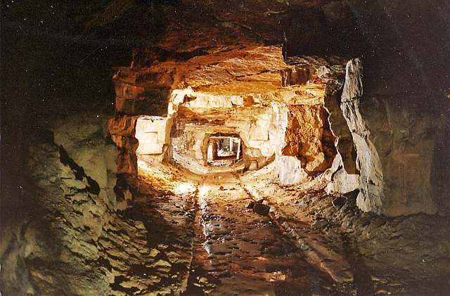
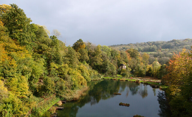
Combe Down and Bathampton Down Mines
Combe Down and Bathampton Down Quarries (grid reference ST761625) make up a 6.22 hectare (15.37 acre) Site of Special Scientific Interest (SSSI) in Bath...

Packhorse Inn
The Packhorse Inn in Southstoke within the English county of Somerset is a Grade II listed building which was largely rebuilt in 1674. It was changed from...
Church of St James, Southstoke
The Church of St James is an Anglican parish church in Southstoke, Somerset, England. It was built in the 12th century and has been designated as a Grade...

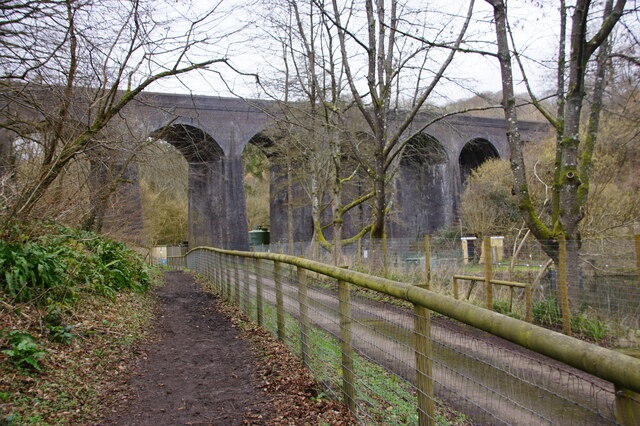
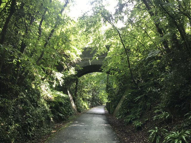
Combe Down Tunnel
Combe Down Tunnel is on the now-closed Somerset and Dorset Joint Railway main line, between Midford and Bath Green Park railway station, below high ground...

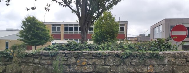
Three Ways School
Three Ways School is a coeducational special school with academy status, located in the Odd Down area of Bath in Somerset, England. It was created in 2005...
Nearby Amenities
Located within 500m of 51.35636,-2.3558613Have you been to Combe Down?
Leave your review of Combe Down below (or comments, questions and feedback).