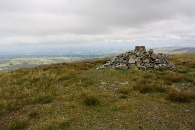
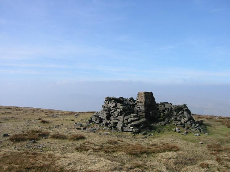
Greenrigg Moss

Downs, Moorland in Westmorland Eden

England

Greenrigg Moss

Wild Boar Fell
Wild Boar Fell Credit: John Ryles

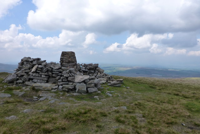
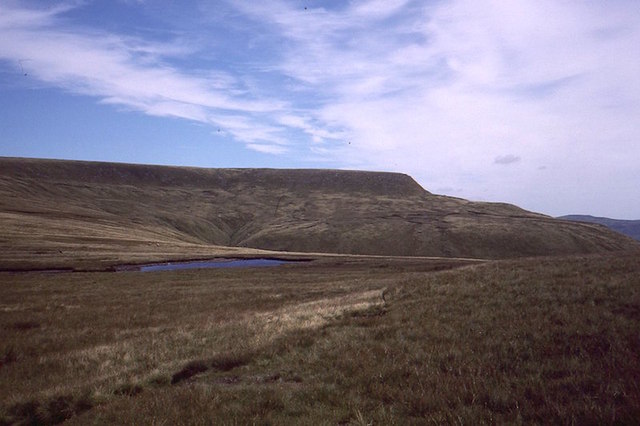
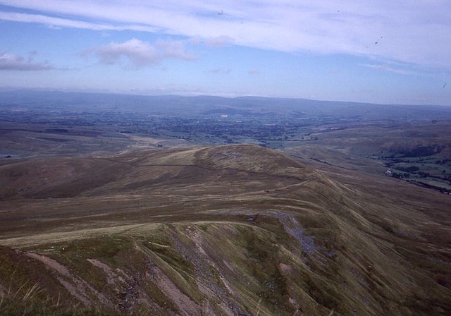
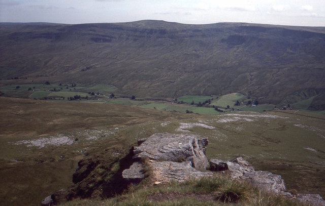
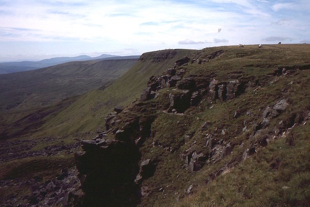
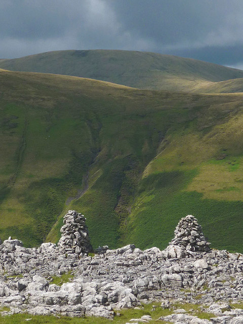
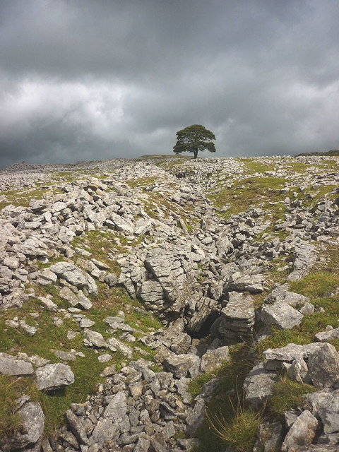
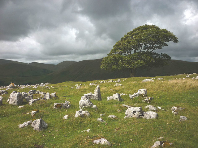
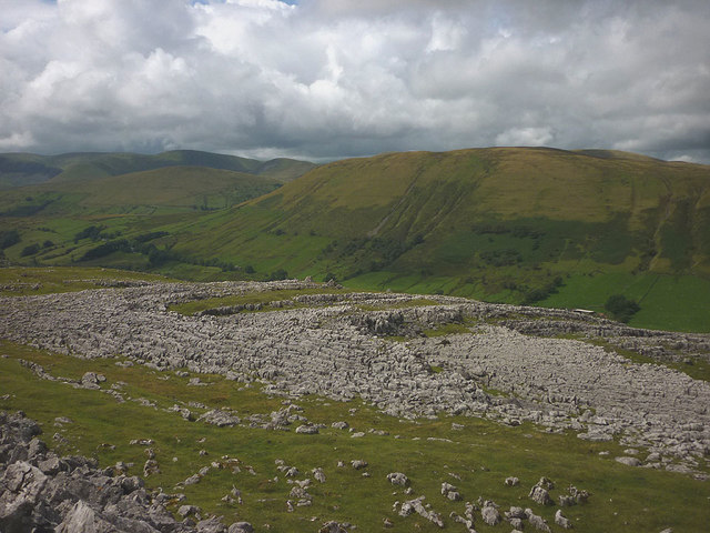
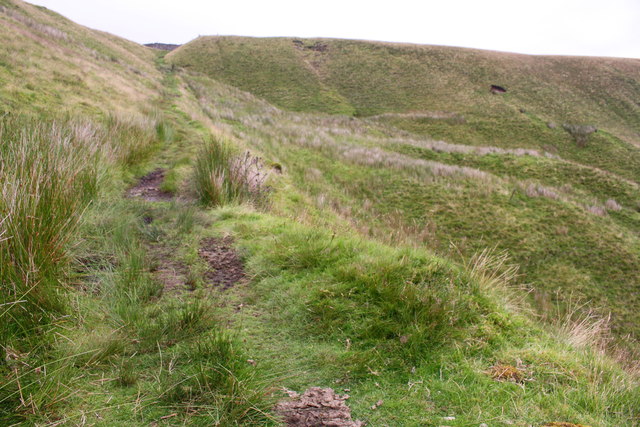
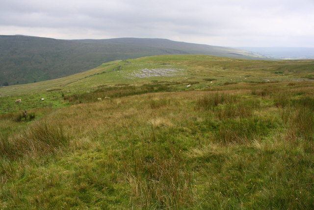
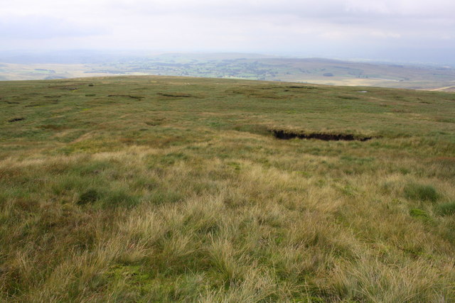
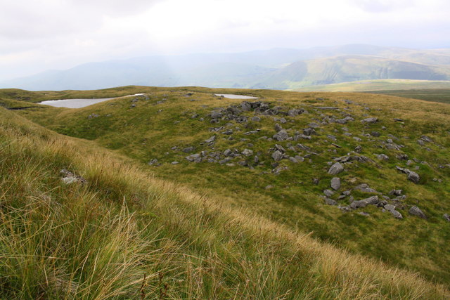
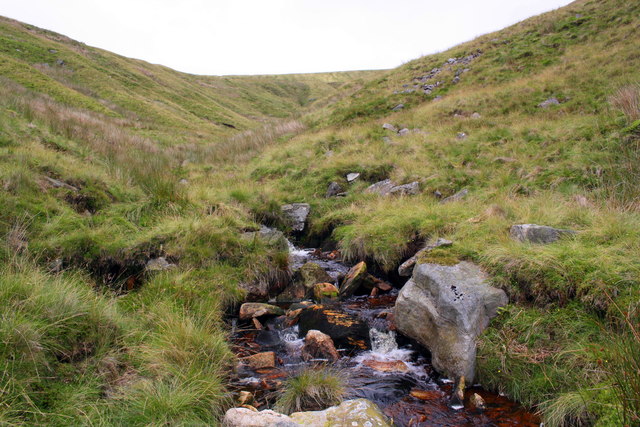
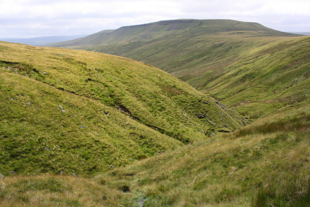
Greenrigg Moss is a vast, picturesque expanse of wetland located in the county of Westmorland in the northwestern region of England. Stretching across several acres, this enchanting mossland is nestled between the rolling hills and moorlands of the area, creating a mesmerizing contrast between the lush greenery and the rugged landscape.

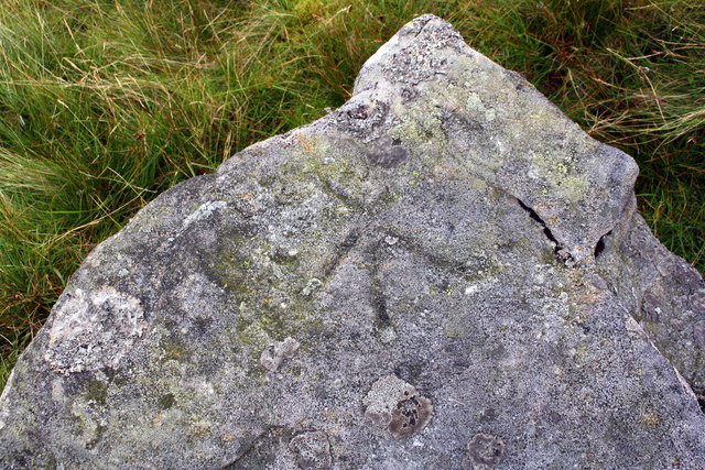
The mossland is characterized by its rich biodiversity, serving as a habitat for numerous species of flora and fauna. The area is adorned with an array of vibrant wildflowers, including marsh cinquefoil, bog asphodel, and yellow flag iris. These colorful blooms create a stunning visual display during the warmer months, attracting a plethora of butterflies and bees.

The wetland is home to various species of birds, making it an ideal destination for birdwatchers. Visitors may spot the graceful flight of the curlew, lapwing, or redshank, among others. The tranquil waters of the moss provide a sanctuary for amphibians such as frogs and toads, as well as a habitat for dragonflies and damselflies.

Greenrigg Moss offers a peaceful retreat for nature enthusiasts, with its serene atmosphere and breathtaking panoramic views. The moss can be explored through a network of footpaths and boardwalks that allow visitors to immerse themselves in the beauty of the surrounding landscape while preserving the delicate ecosystem.

In summary, Greenrigg Moss is a captivating wetland in Westmorland, England, where visitors can experience the wonders of nature in a serene and picturesque setting.

If you have any feedback on the listing, please let us know in the comments section below.

Greenrigg Moss Images

Images are sourced within 2km of 54.388041/-2.3815327 or Grid Reference SD7599. Thanks to Geograph Open Source API. All images are credited.

Wild Boar Fell
Wild Boar Fell
Tarn beneath Wild Boar Fell The boggy col with Swarth Fell.
Tarn beneath Wild Boar Fell
The boggy col with Swarth Fell.
Scriddles Scriddles is the mapped name for the screes on the north ridge of Wild Boar Fell.  View north from the Nab towards the North Pennines.
Scriddles
Scriddles is the mapped name for the screes on the north ridge of Wild Boar Fell. View north from the Nab towards the North Pennines.
View off The Nab Looking over Mallerstang from Wild Boar Fell.  The limestone plinth of the hill shows well from here.
View off The Nab
Looking over Mallerstang from Wild Boar Fell. The limestone plinth of the hill shows well from here.
Yoadcomb Scar Broken crags on the east side of Wild Boar Fell.  Ingleborough and Whernside are in the background along with some curricks on Wild Boar Fell.


A currick is a stone man, common in the North Pennines.  Could be considered a “local” word, it’s not used in Scotland, but perhaps its  that there are only some localities with lots of hills and flat stones so that they can be built.  The usual story is that they are Scotsman deterrents, looking like alert men watching over the cattle.  However I have not seen them so much in Southern Scotland which of course also suffered cattle raids, but the geology is not so favourable. They are almost always in visible places, on edges.  Personally I think they were built for fun.  

The best Scottish examples were on Geal Charn above the Pass of Drumochter but some idiot demolished them in the 1990s.
Yoadcomb Scar
Broken crags on the east side of Wild Boar Fell. Ingleborough and Whernside are in the background along with some curricks on Wild Boar Fell. A currick is a stone man, common in the North Pennines. Could be considered a “local” word, it’s not used in Scotland, but perhaps its that there are only some localities with lots of hills and flat stones so that they can be built. The usual story is that they are Scotsman deterrents, looking like alert men watching over the cattle. However I have not seen them so much in Southern Scotland which of course also suffered cattle raids, but the geology is not so favourable. They are almost always in visible places, on edges. Personally I think they were built for fun. The best Scottish examples were on Geal Charn above the Pass of Drumochter but some idiot demolished them in the 1990s.
Twin cairns, Fell End Clouds The shattered limestone of the Clouds contrasts sharply with the grassy flanks of the Howgill Fells beyond. Since 2016 everything in this area has been incorporated into the Yorkshire Dales National Park.
Twin cairns, Fell End Clouds
The shattered limestone of the Clouds contrasts sharply with the grassy flanks of the Howgill Fells beyond. Since 2016 everything in this area has been incorporated into the Yorkshire Dales National Park.
Old workings, Fell End Clouds On the southern slope of the Clouds are a series of open, parallel grooves which were probably worked for lead. One magnificent, solitary sycamore stands in the midst of them.
Old workings, Fell End Clouds
On the southern slope of the Clouds are a series of open, parallel grooves which were probably worked for lead. One magnificent, solitary sycamore stands in the midst of them.
The big tree on Fell End Clouds The solitary sycamore that is the only large tree growing on the limestone uplands. Here it is in November 2012 <a href="https://www.geograph.org.uk/photo/3222092">SD7399 : The big tree, Fell End Clouds</a>.
The big tree on Fell End Clouds
The solitary sycamore that is the only large tree growing on the limestone uplands. Here it is in November 2012 SD7399 : The big tree, Fell End Clouds.
Limestone pavements, Fell End Clouds The Clouds contain areas of pavement that contrast greatly with the smooth, grassy slopes of the adjacent Howgill Fells.
Limestone pavements, Fell End Clouds
The Clouds contain areas of pavement that contrast greatly with the smooth, grassy slopes of the adjacent Howgill Fells.
Ascending the Pennine Bridleway at High Dolpinsty
View from Pennine Bridleway towards Little Wold limestone pavement
Greenrigg Moss on the descent from Wild Boar Fell
Sand Tarn from Sandtarn Riggs
Looking up Ais Gill towards Wild Boar Fell
View towards Scarth Fell from Aisgill Head
Triangulation pillar at summit of Wild Boar Fell More information about the pillar is at <span class="nowrap"><a title="http://trigpointing.uk/trig/10128" rel="nofollow ugc noopener" href="http://trigpointing.uk/trig/10128">Link</a><img style="margin-left:2px;" alt="External link" title="External link - shift click to open in new window" src="https://s1.geograph.org.uk/img/external.png" width="10" height="10"/></span>
Triangulation pillar at summit of Wild Boar Fell
More information about the pillar is at LinkExternal link
Trig point in stone shelter on Wild Boar Fell
Benchmark on rock on NW flank of Wild Boar Fell Ordnance Survey pivot benchmark described on the Bench Mark Database at <span class="nowrap"><a title="http://www.bench-marks.org.uk/bm86946" rel="nofollow ugc noopener" href="http://www.bench-marks.org.uk/bm86946">Link</a><img style="margin-left:2px;" alt="External link" title="External link - shift click to open in new window" src="https://s1.geograph.org.uk/img/external.png" width="10" height="10"/></span>
Benchmark on rock on NW flank of Wild Boar Fell
Ordnance Survey pivot benchmark described on the Bench Mark Database at LinkExternal link
Show me another place!

Greenrigg Moss is located at Grid Ref: SD7599 (Lat: 54.388041, Lng: -2.3815327)

Administrative County: Cumbria

District: Eden

Police Authority: Cumbria

What 3 Words

///replayed.riverbed.emulating. Near Kirkby Stephen, Cumbria

Related Wikis

Wild Boar Fell

Wild Boar Fell is a mountain in the Yorkshire Dales National Park, on the eastern edge of Cumbria, England. At 2,323 feet (708 m), it is either the 4th...

1995 Ais Gill rail accident

The 1995 Ais Gill rail accident occurred near Aisgill, Cumbria, UK, at about 18:55 on 31 January 1995, when a class 156 Super-Sprinter was derailed by...

Swarth Fell

Swarth Fell is an approximately 1 mile (1.5 km) stretch of high ground (consisting mainly of limestone capped with millstone grit) situated to the south...

1913 Ais Gill rail accident

The Ais Gill rail accident occurred on the Settle–Carlisle line in Northwest England on 2 September 1913. Two long trains were both ascending a steep gradient...

Nearby Amenities

Located within 500m of 54.388041,-2.3815327
Abandoned: yes
Historic: mine
Man Made: mine
Source: OS_OpenData_StreetView
Lat/Long: 54.3914268/-2.3857663
High Greenrigg
Ele: 554
Natural: peak
Lat/Long: 54.3904296/-2.3829486
Natural: sinkhole
Lat/Long: 54.3895027/-2.3883423
The data included in this document is from www.openstreetmap.org. The data is made available under ODbL.

Have you been to Greenrigg Moss?

Leave your review of Greenrigg Moss below (or comments, questions and feedback).