Dane Meadow

Downs, Moorland in Cheshire

England

Dane Meadow

M6 sign gantry west of Cranage
M6 sign gantry west of Cranage Credit: Colin Pyle

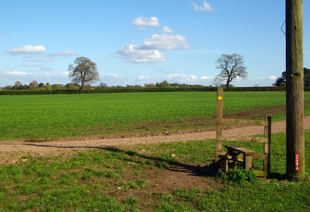
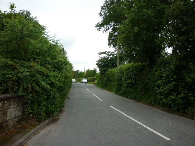
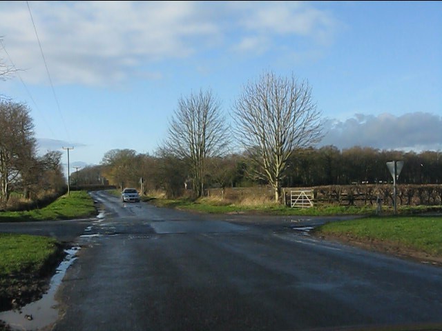
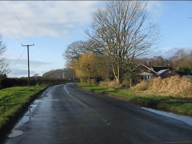
Dane Meadow is a picturesque area located in Cheshire, England. Covering a vast expanse of downland and moorland, it is renowned for its natural beauty and stunning scenery. The meadow is situated in the Dane Valley, near the village of Wincle, and is a popular destination for nature lovers and outdoor enthusiasts.

The landscape of Dane Meadow is characterized by rolling hills, open grasslands, and heather-covered moorlands. The area is also home to a diverse range of flora and fauna, including various species of wildflowers, birds, and small mammals. The meadow is particularly known for its rich biodiversity, with many rare and protected species found within its boundaries.

Visitors to Dane Meadow can enjoy a variety of activities, such as hiking, bird watching, and picnicking. The extensive network of walking trails provides ample opportunities to explore the area and take in its breathtaking views. There are also designated areas for camping and fishing, allowing visitors to fully immerse themselves in the natural surroundings.

In addition to its natural attractions, Dane Meadow is also of historical significance. The area has been inhabited for centuries, with evidence of ancient settlements and burial sites found in the vicinity. The meadow is also intersected by the Dane Valley Way, a long-distance footpath that follows the course of the River Dane, offering visitors a chance to explore the cultural and historical heritage of the area.

Overall, Dane Meadow offers a tranquil and idyllic escape from the hustle and bustle of everyday life. Its stunning landscapes, diverse wildlife, and rich history make it a must-visit destination for those seeking a connection with nature and a sense of serenity.

If you have any feedback on the listing, please let us know in the comments section below.
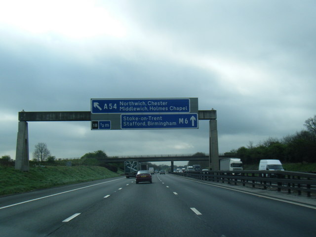
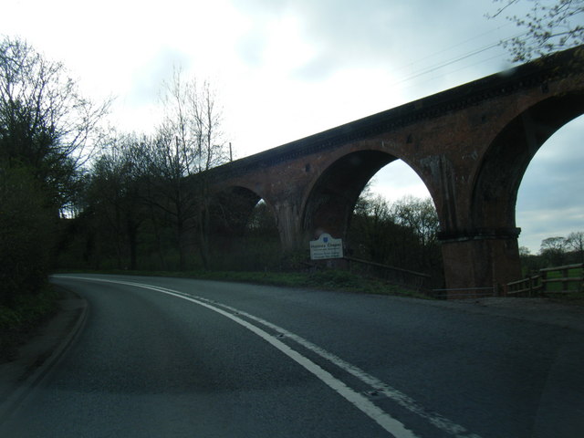
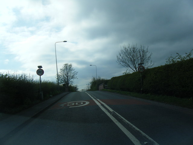
Dane Meadow Images

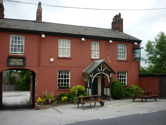
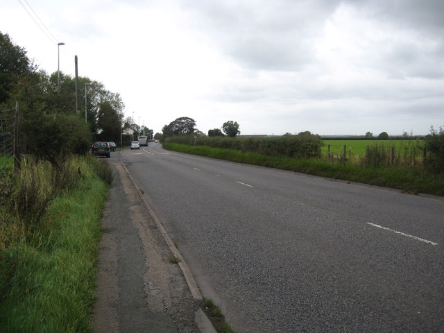
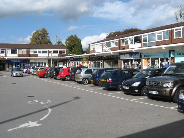
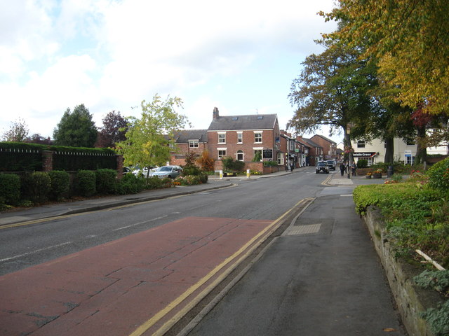
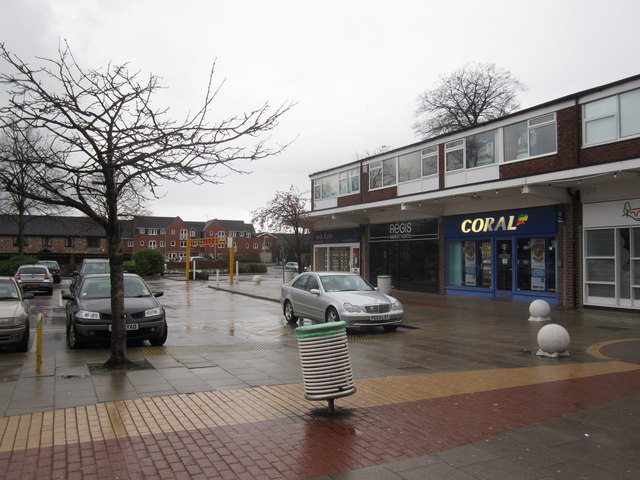
Images are sourced within 2km of 53.204165/-2.37072 or Grid Reference SJ7567. Thanks to Geograph Open Source API. All images are credited.

M6 sign gantry west of Cranage
Twemlow viaduct next to A535
Macclesfield Road approaching railway bridge
Stile on farmland, near Goostrey There is not really any need to cross this stile!
Stile on farmland, near Goostrey
There is not really any need to cross this stile!
The Swan Inn, a Sam Smith's pub in Holmes Chapel
One of the rooms inside the Swan Inn A Sam Smith's pub in Holmes Chapel
One of the rooms inside the Swan Inn
A Sam Smith's pub in Holmes Chapel
The bar at the Swan A Sam Smith's pub in Holmes Chapel
The bar at the Swan
A Sam Smith's pub in Holmes Chapel
The Swan Inn, a Sam Smith's pub in Holmes Chapel
Byley Lane, Cranage, Holmes Chapel
Knutsford Road, Cranage
Twemlow Viaduct, Holmes Chapel
Holmes Chapel Railway Station
The A54 heading towards Sproston and Middlewich beyond In Cheshire.
The A54 heading towards Sproston and Middlewich beyond
In Cheshire.
Shopping area in Holmes Chapel Near the town centre.
Shopping area in Holmes Chapel
Near the town centre.
Urban road heading towards the centre of Holmes Chapel
Holmes Chapel shopping precinct
Crossroads on Twemlow Lane The route on the left provides private vehicular access to The Hermitage and a public footpath to Holmes Chapel via the Dane Valley.
Crossroads on Twemlow Lane
The route on the left provides private vehicular access to The Hermitage and a public footpath to Holmes Chapel via the Dane Valley.
House on Twemlow Lane
Show me another place!

Dane Meadow is located at Grid Ref: SJ7567 (Lat: 53.204165, Lng: -2.37072)

Unitary Authority: Cheshire East

Police Authority: Cheshire

What 3 Words

///blueberry.infringe.such. Near Holmes Chapel, Cheshire

Nearby Locations

Dane Meadow Cotton Wood

Related Wikis

Holmes Chapel Comprehensive School

Holmes Chapel Comprehensive School is a co-educational secondary school and sixth form centre located in Holmes Chapel, Cheshire, England. It was founded...
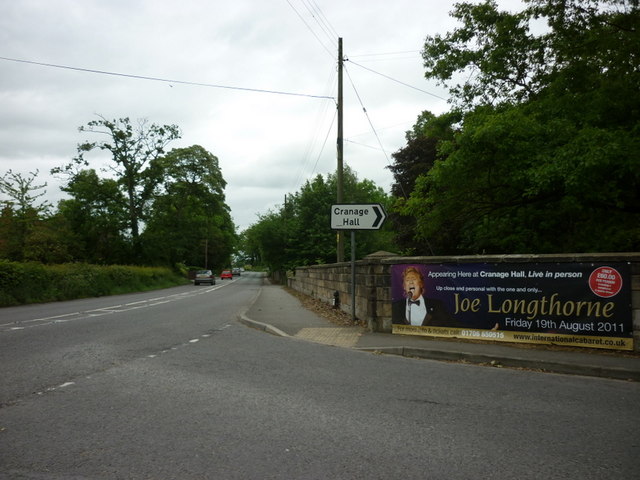
Cranage Hall

Cranage Hall is a former country house in the village of Cranage, Cheshire, England. It was built in 1828–29 for Lawrence Armitstead, and designed by...

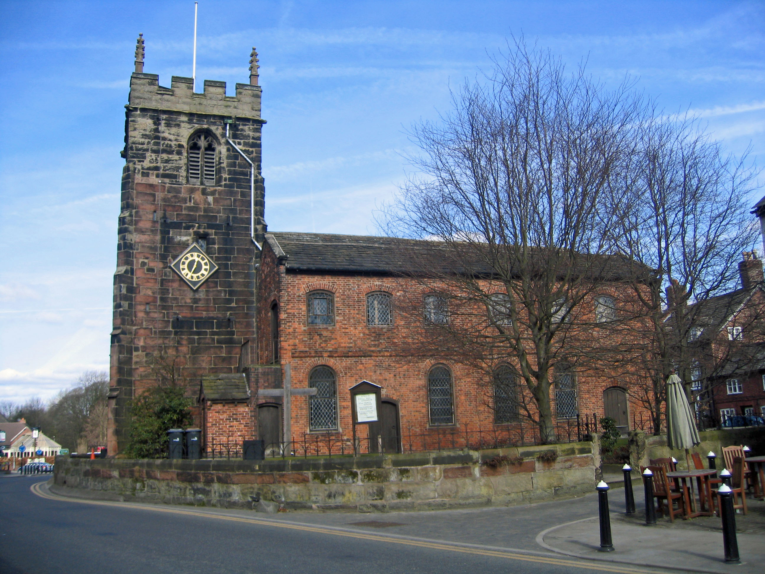
St Luke's Church, Holmes Chapel

St Luke's Church is in the village of Holmes Chapel, Cheshire, England on the A50 road at its junction with the A535 road. The church is recorded in the...

Cranage

Cranage is a village and civil parish in the unitary authority of Cheshire East and the ceremonial county of Cheshire, England. According to the 2001 Official...

Nearby Amenities

Located within 500m of 53.204165,-2.37072
Crossing: informal
Lat/Long: 53.201791/-2.3719156
Post Box
Lat/Long: 53.2008451/-2.3718989
Post Box
Collection Times: Mo-Fr 09:00; Sa 07:00
Ref: CW4 290
Lat/Long: 53.2006998/-2.3672619
Waterway: weir
Lat/Long: 53.2055381/-2.3641552
Parking
Lat/Long: 53.2072726/-2.3682136
Bus Stop
Holmes Chapel, Chester Road / Brookfield Drive
Bus: yes
Naptan AtcoCode: 0600CO5004
Naptan Bearing: NW
Naptan CommonName: Brookfield Drive
Naptan Crossing: Brookfield Drive
Naptan Indicator: opp
Naptan Landmark: Brookfield Drive
Naptan LocalityName: Holmes Chapel
Naptan NaptanCode: chejwad
Naptan ShortCommonName: Brookfield Drive
Naptan Street: Chester Road
Naptan Verified: no
Network: Cheshire East Council
Operator: Ansa Transport
Public Transport: platform
Source: naptan_import
Lat/Long: 53.2004747/-2.3679842
Bus Stop
Holmes Chapel, Chester Road / Brookfield Drive
Bus: yes
Naptan AtcoCode: 0600CO5005
Naptan Bearing: SE
Naptan BusStopType: CUS
Naptan CommonName: Brookfield Drive
Naptan Crossing: Brookfield Drive
Naptan Indicator: cnr
Naptan Landmark: Brookfield Drive
Naptan LocalityName: Holmes Chapel
Naptan NaptanCode: chemwat
Naptan ShortCommonName: Brookfield Drive
Naptan Street: Chester Road
Naptan Verified: no
Network: Cheshire East Council
Operator: Ansa Transport
Public Transport: platform
Source: naptan_import
Lat/Long: 53.2005203/-2.367775
Barrier: kissing_gate
Lat/Long: 53.2075016/-2.3663005
Fuel
Texaco
Brand: Texaco
Brand Wikidata: Q775060
Website: https://locations.valero.com/en-gb/LocationDetails/Index/MIDDLEWICH-ROAD/0000253284
Lat/Long: 53.2013887/-2.3729446
Co-op Food
Addr Postcode: CW4 7ES
Addr Street: Middlewich Road
Brand: Co-op Food
Brand Wikidata: Q3277439
Brand Wikipedia: en:Co-op Food
Fhrs Id: 890623
Operator: The Co-operative Group
Operator Wikidata: Q117202
Shop: convenience
Source Addr: FHRS Open Data
Website: https://www.coop.co.uk/store-finder/CW4-7ES/middlewich-road
Lat/Long: 53.2013373/-2.3733471
Crossing: informal
Lat/Long: 53.2004448/-2.3698178
Crossing: informal
Lat/Long: 53.2008413/-2.3684585
Crossing
Crossing: traffic_signals
Crossing Ref: toucan
Lat/Long: 53.2016664/-2.3702514
Power: pole
Lat/Long: 53.2051875/-2.3777684
Power: pole
Lat/Long: 53.2053241/-2.3759418
Power: pole
Lat/Long: 53.2054654/-2.3740804
Power: pole
Lat/Long: 53.2057723/-2.3724174
Power: pole
Lat/Long: 53.2062168/-2.368249
Power: pole
Lat/Long: 53.205797/-2.3694198
Power: pole
Lat/Long: 53.2061144/-2.3709018
Power: pole
Lat/Long: 53.2065538/-2.3672634
Power: pole
Lat/Long: 53.207802/-2.3671684
Power: pole
Lat/Long: 53.207826/-2.3667355
Generator Method: photovoltaic
Generator Output Electricity: yes
Generator Source: solar
Generator Type: solar_photovoltaic_panel
Power: generator
Lat/Long: 53.2005577/-2.3695917
Generator Method: photovoltaic
Generator Output Electricity: yes
Generator Source: solar
Generator Type: solar_photovoltaic_panel
Power: generator
Lat/Long: 53.2013671/-2.3678747
Generator Method: photovoltaic
Generator Output Electricity: yes
Generator Source: solar
Generator Type: solar_photovoltaic_panel
Power: generator
Lat/Long: 53.2014404/-2.3673496
Generator Method: photovoltaic
Generator Output Electricity: yes
Generator Source: solar
Generator Type: solar_photovoltaic_panel
Power: generator
Lat/Long: 53.2009536/-2.3735034
Generator Method: photovoltaic
Generator Output Electricity: yes
Generator Source: solar
Generator Type: solar_photovoltaic_panel
Power: generator
Lat/Long: 53.2010739/-2.3720192
Give Way
Direction: backward
Lat/Long: 53.2017508/-2.3691224
Generator Method: photovoltaic
Generator Output Electricity: yes
Generator Source: solar
Generator Type: solar_photovoltaic_panel
Power: generator
Lat/Long: 53.2001302/-2.3740406
Generator Method: photovoltaic
Generator Output Electricity: yes
Generator Source: solar
Generator Type: solar_photovoltaic_panel
Power: generator
Lat/Long: 53.2002959/-2.3734971
Generator Method: photovoltaic
Generator Output Electricity: yes
Generator Source: solar
Generator Type: solar_photovoltaic_panel
Power: generator
Lat/Long: 53.2037243/-2.3662351
Generator Method: photovoltaic
Generator Output Electricity: yes
Generator Source: solar
Generator Type: solar_photovoltaic_panel
Power: generator
Lat/Long: 53.2011047/-2.3665302
Generator Method: photovoltaic
Generator Output Electricity: yes
Generator Source: solar
Generator Type: solar_photovoltaic_panel
Power: generator
Lat/Long: 53.2031765/-2.368248
Bus Stop
Holmes Chapel, Middlewich Road / Bramhall Drive
Bus: yes
Naptan AtcoCode: 0600CO000031
Naptan Bearing: W
Naptan CommonName: Bramhall Drive
Naptan Indicator: opp
Naptan LocalityName: Holmes Chapel
Naptan NaptanCode: cheagmtj
Naptan Street: Middlewich Road
Network: Cheshire East Council
Operator: Ansa Transport
Public Transport: platform
Source: naptan_import
Lat/Long: 53.201615/-2.371769
Bus Stop
Holmes Chapel, Middlewich Road / Bramhall Drive
Bus: yes
Naptan AtcoCode: 0600CO000030
Naptan Bearing: E
Naptan CommonName: Bramhall Drive
Naptan Indicator: nr
Naptan Landmark: Bramhall Road
Naptan LocalityName: Holmes Chapel
Naptan NaptanCode: cheagmtw
Naptan ShortCommonName: Bramhall Road
Naptan Street: Middlewich Road
Network: Cheshire East Council
Operator: Ansa Transport
Public Transport: platform
Source: naptan_import
Lat/Long: 53.201674/-2.3720516
Waste Basket
Lat/Long: 53.2015859/-2.3718483
Waste Basket
Lat/Long: 53.204079/-2.368446
Bench
Lat/Long: 53.2040572/-2.3685237
Tourism: information
Lat/Long: 53.2040869/-2.3685448
Waste Basket
Lat/Long: 53.2025237/-2.371659
Waste Basket
Lat/Long: 53.2017603/-2.3717728
Waste Basket
Lat/Long: 53.2037816/-2.3640077
Post Box
Collection Times: Mo-Fr 09:00; Sa 07:00
Ref: CW4 263D
Royal Cypher: EIIR
Lat/Long: 53.2023231/-2.3656235
Addr Housenumber: 15
Addr Street: Bramhall Drive
Lat/Long: 53.202659/-2.3660342
Addr Housenumber: 17
Addr Street: Bramhall Drive
Lat/Long: 53.2028179/-2.3663714
Addr Housenumber: 19
Addr Street: Bramhall Drive
Lat/Long: 53.202888/-2.3663988
Addr Housenumber: 21
Addr Street: Bramhall Drive
Lat/Long: 53.2029431/-2.3664321
Addr Housenumber: 9
Addr Street: Bramhall Drive
Lat/Long: 53.2026237/-2.366277
Addr Housenumber: 11
Addr Street: Bramhall Drive
Lat/Long: 53.2026427/-2.3661426
Waste Basket
Lat/Long: 53.2039387/-2.3690363
Bench
Lat/Long: 53.2039265/-2.3691173
The data included in this document is from www.openstreetmap.org. The data is made available under ODbL.

Have you been to Dane Meadow?

Leave your review of Dane Meadow below (or comments, questions and feedback).