Cotton Wood
Wood, Forest in Cheshire
England
Cotton Wood
Cotton Wood, located in the county of Cheshire, England, is a charming forested area renowned for its natural beauty and diverse ecosystem. Spanning approximately 500 acres, this woodland boasts a rich history and remains an important recreational space for locals and tourists alike.
The forest is predominantly composed of cottonwood trees, which lend their name to the area. These tall and stately deciduous trees create a picturesque landscape, especially during the autumn months when their leaves turn vibrant shades of yellow and gold. The wood is also home to a variety of other tree species, including oak, beech, and birch, making for a visually captivating display throughout the year.
Cotton Wood has long been a popular destination for outdoor enthusiasts and nature lovers. Its extensive network of walking trails offers visitors the opportunity to explore the area's natural wonders at their own pace. The forest is teeming with wildlife, providing a haven for numerous bird species, small mammals, and insects.
In addition to its natural attractions, Cotton Wood is also steeped in history. It has been documented as a designated ancient woodland, with evidence of human activity dating back centuries. Archaeological findings have revealed traces of prehistoric settlements, including tools and pottery from the Neolithic and Bronze Age periods.
Overall, Cotton Wood in Cheshire is a captivating forest that captivates visitors with its natural beauty and historical significance. Whether one seeks a peaceful hike, wildlife spotting, or an exploration of the area's rich heritage, this enchanting woodland offers a memorable experience for all.
If you have any feedback on the listing, please let us know in the comments section below.
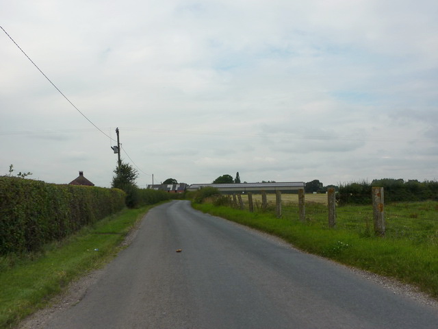
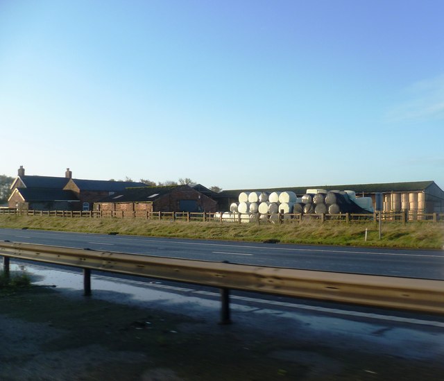
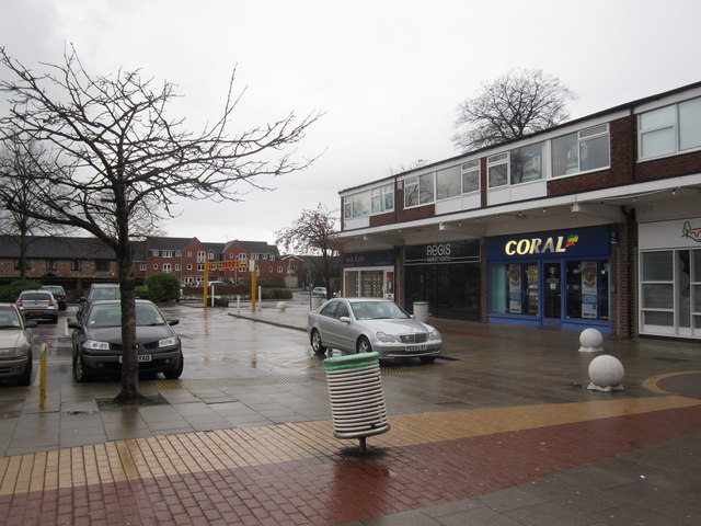
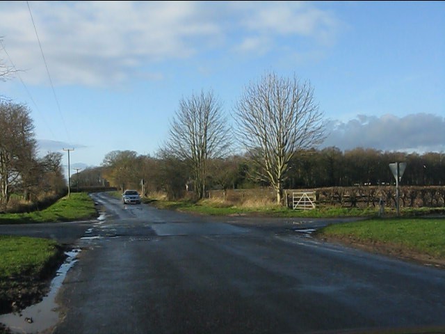
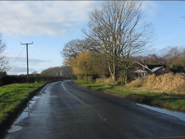
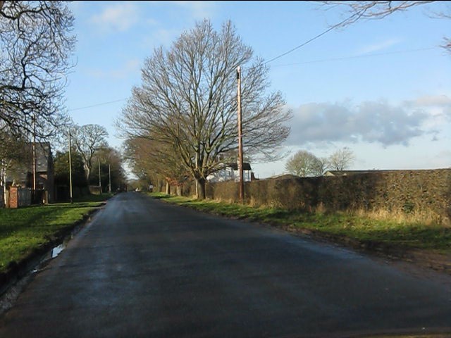
Cotton Wood Images
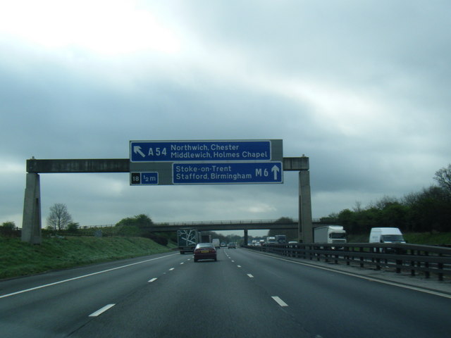
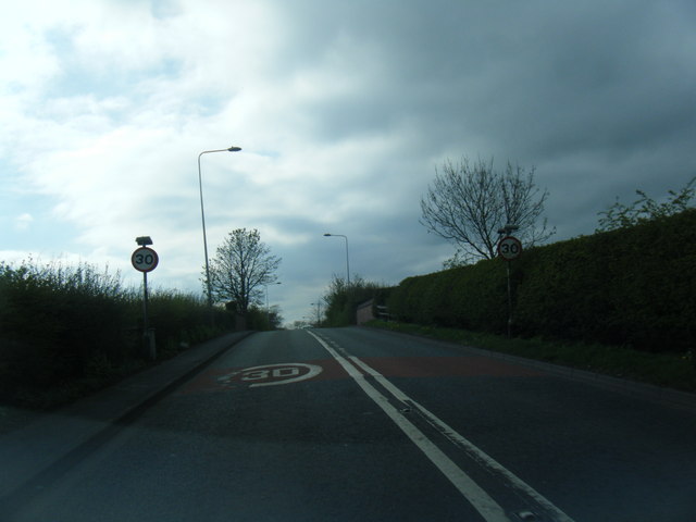
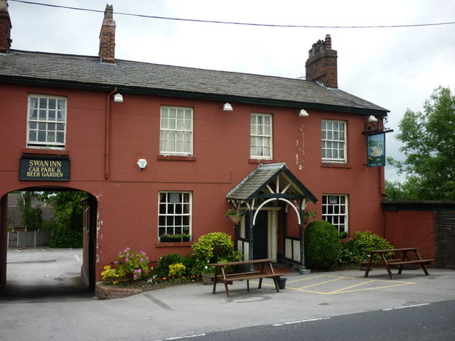
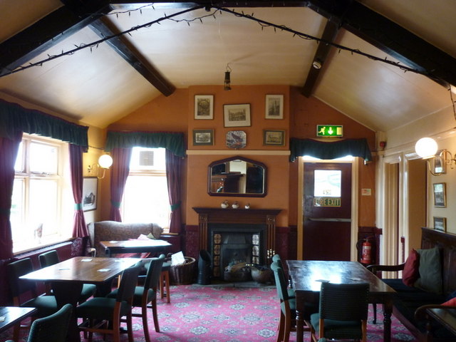
Images are sourced within 2km of 53.204092/-2.3737286 or Grid Reference SJ7567. Thanks to Geograph Open Source API. All images are credited.
Cotton Wood is located at Grid Ref: SJ7567 (Lat: 53.204092, Lng: -2.3737286)
Unitary Authority: Cheshire East
Police Authority: Cheshire
What 3 Words
///placidly.shunted.soup. Near Holmes Chapel, Cheshire
Nearby Locations
Related Wikis

Cranage Hall
Cranage Hall is a former country house in the village of Cranage, Cheshire, England. It was built in 1828–29 for Lawrence Armitstead, and designed by...
Holmes Chapel Comprehensive School
Holmes Chapel Comprehensive School is a co-educational secondary school and sixth form centre located in Holmes Chapel, Cheshire, England. It was founded...
Cranage
Cranage is a village and civil parish in the unitary authority of Cheshire East and the ceremonial county of Cheshire, England. According to the 2001 Official...
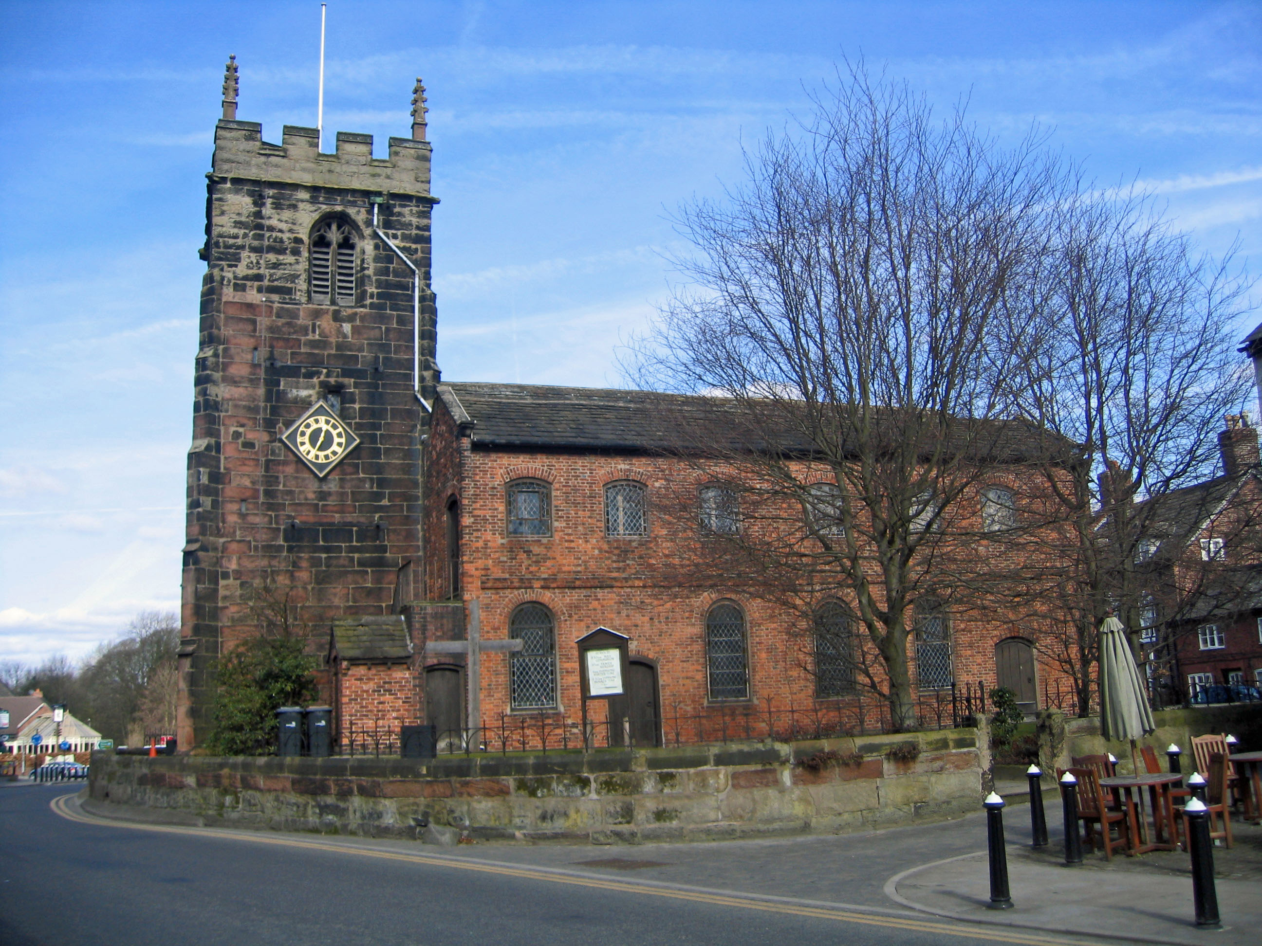
St Luke's Church, Holmes Chapel
St Luke's Church is in the village of Holmes Chapel, Cheshire, England on the A50 road at its junction with the A535 road. The church is recorded in the...
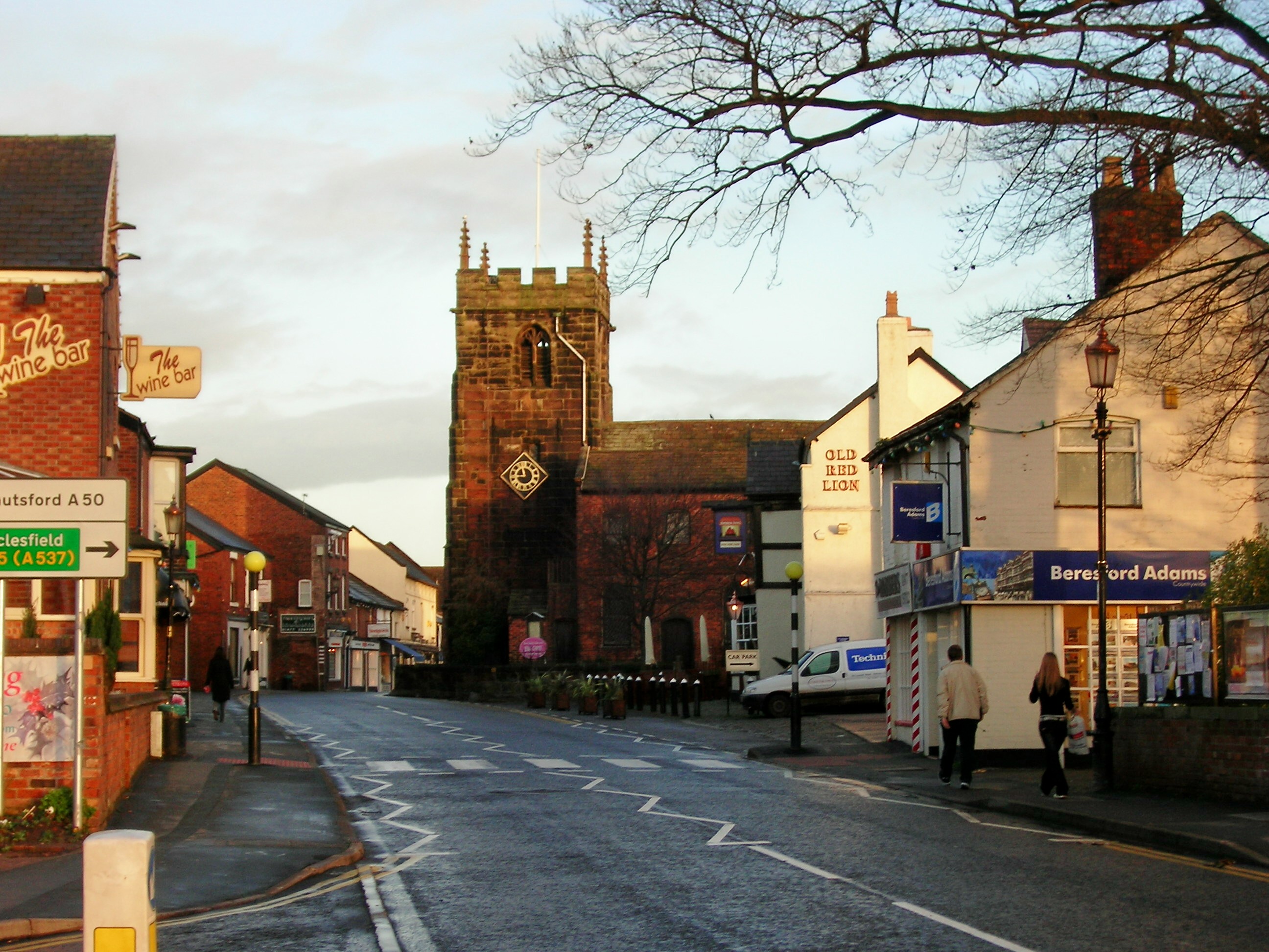
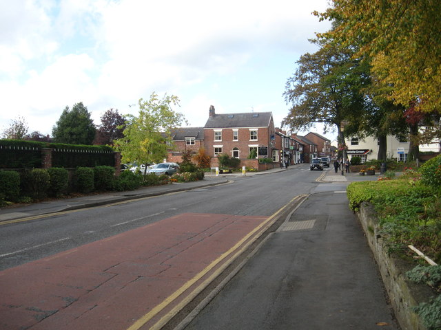
Holmes Chapel
Holmes Chapel is a large village and civil parish in the unitary authority area of Cheshire East and the ceremonial county of Cheshire, England; until...
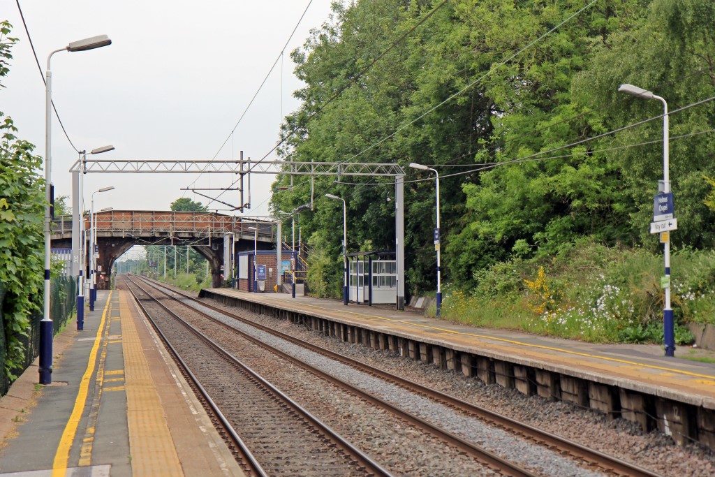
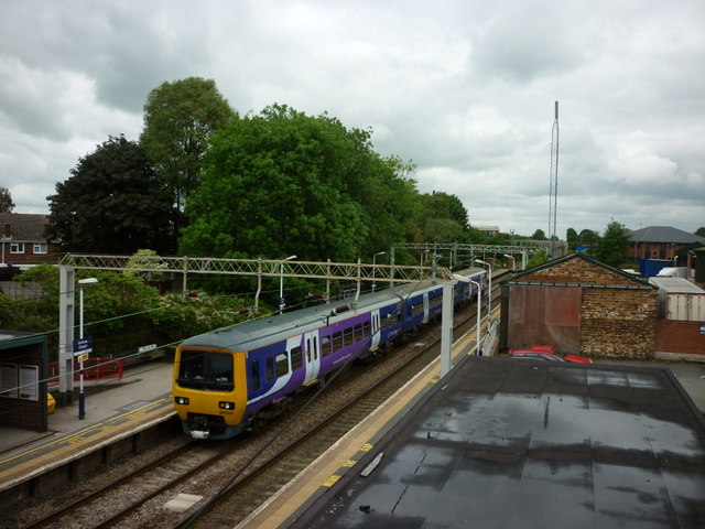
Holmes Chapel railway station
Holmes Chapel railway station serves the village of Holmes Chapel in Cheshire, England. The station is 8½ miles (14 km) north east of Crewe on the Crewe...

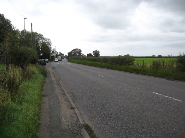
Sproston
Sproston is a village and civil parish in the unitary authority of Cheshire West and Chester and the ceremonial county of Cheshire, in the north-west of...

RAF Cranage
Royal Air Force Cranage or more simply RAF Cranage is a former Royal Air Force Satellite station operated during the Second World War. It was located just...
Nearby Amenities
Located within 500m of 53.204092,-2.3737286Have you been to Cotton Wood?
Leave your review of Cotton Wood below (or comments, questions and feedback).