Springhead Coppice
Wood, Forest in Shropshire
England
Springhead Coppice

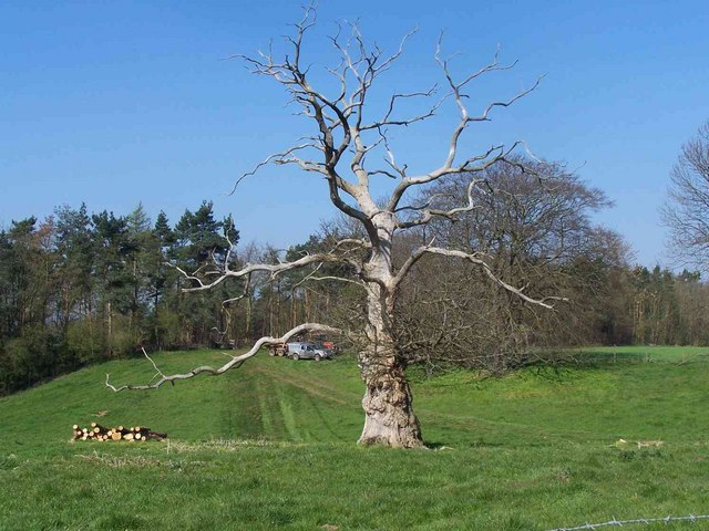
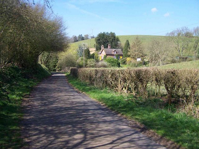
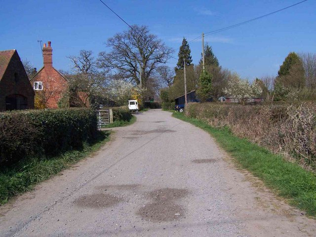
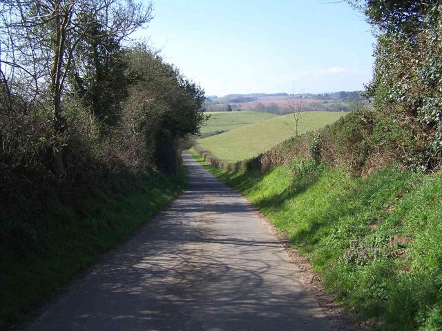
Springhead Coppice is a picturesque woodland located in the county of Shropshire, England. Spread over an area of approximately 100 acres, this ancient forest is a haven for nature enthusiasts and those seeking tranquility in the heart of the countryside.
The coppice is predominantly composed of broadleaf trees such as oak, ash, and beech, which create a dense canopy that filters sunlight, casting a dappled effect on the forest floor below. These trees have been carefully managed over the years, with some sections periodically cut back to encourage new growth and maintain a healthy ecosystem.
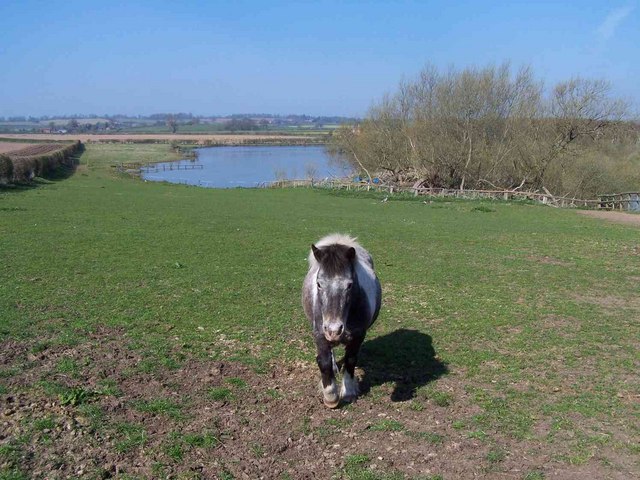
The forest floor is teeming with a variety of flora, including bluebells, primroses, and wild garlic, which carpet the ground during the spring months. In addition to the flora, Springhead Coppice is home to an abundance of wildlife. Visitors may be lucky enough to spot deer, badgers, foxes, and a wide array of bird species, including owls, woodpeckers, and thrushes.
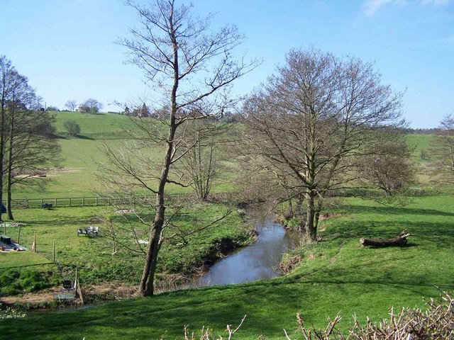
Well-maintained footpaths wind their way through the woodland, offering visitors the opportunity to explore and discover the forest's hidden treasures. The paths lead to a tranquil pond, which provides a peaceful spot for reflection and a habitat for frogs, newts, and dragonflies.
Springhead Coppice is managed by a local conservation group, who organize regular guided walks and educational programs to promote the understanding and preservation of this unique woodland. It is a popular destination for walkers, photographers, and nature lovers alike, offering a serene escape from the hustle and bustle of modern life.
If you have any feedback on the listing, please let us know in the comments section below.
Springhead Coppice Images
Images are sourced within 2km of 52.565899/-2.3682621 or Grid Reference SO7596. Thanks to Geograph Open Source API. All images are credited.


Springhead Coppice is located at Grid Ref: SO7596 (Lat: 52.565899, Lng: -2.3682621)
Unitary Authority: Shropshire
Police Authority: West Mercia
What 3 Words
///gladiator.drop.clothed. Near Bridgnorth, Shropshire
Nearby Locations
Related Wikis

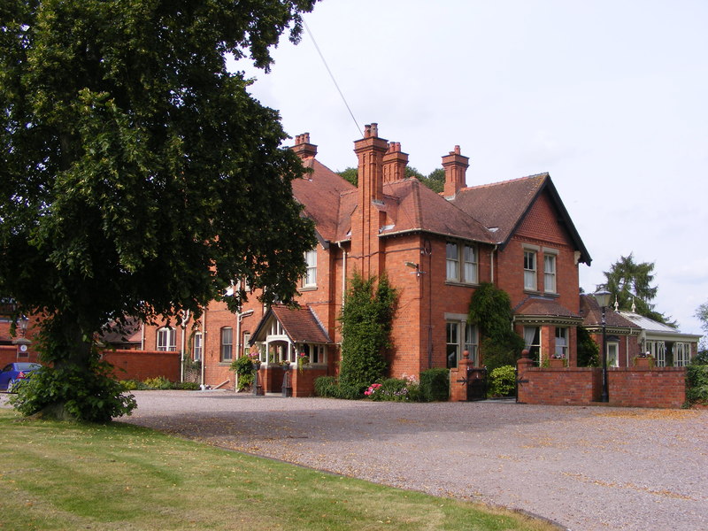
Davenport House, Worfield
Davenport House is an historic country house in the English village of Worfield, Shropshire. Located to the southwest of the village centre, it was built...
Worfield
Worfield is a village and civil parish in Shropshire in the West Midlands, England. It is 120 miles (190 km) northwest of London and 10 miles (16 km) west...
Wyken, Shropshire
Wyken is a hamlet in the English county of Shropshire. Wyken is located on the A454 road between Bridgnorth and Wolverhampton. The nearest village is Worfield...

Burcote
Burcote is a village near Bridgnorth in Shropshire, England. == External links == Media related to Burcote at Wikimedia Commons
Hilton, Shropshire
Hilton is a village in Shropshire, England. == See also == Listed buildings in Worfield == References == The geographic coordinates are from the Ordnance...
Ackleton
Ackleton is a village in the English county of Shropshire. It is in the civil parish of Worfield. Situated some seven miles (11 kilometers) from the market...

River Worfe
The River Worfe is a river in Shropshire, England. The name Worfe is said to derive from the Old English meaning to wander (or meander) which the river...

A442 road
The A442 is a main road which passes through the counties of Worcestershire and Shropshire, in the West Midlands region of England. == Route == From Droitwich...
Nearby Amenities
Located within 500m of 52.565899,-2.3682621Have you been to Springhead Coppice?
Leave your review of Springhead Coppice below (or comments, questions and feedback).