Pitforkie Den

Valley in Angus

Scotland

Pitforkie Den

Careston Parish Kirk Careston Kirk viewed from the car parking area to the north-west.
Careston Parish Kirk Credit: Scott Cormie

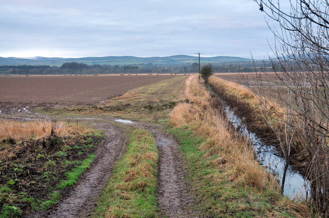
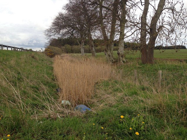
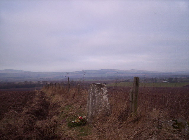
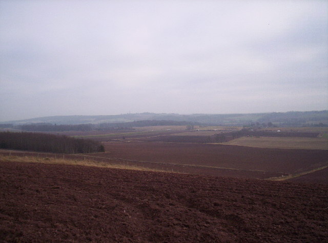
Pitforkie Den is a picturesque valley located in the county of Angus, Scotland. Nestled between rolling hills and lush greenery, this hidden gem offers a tranquil and serene escape from the hustle and bustle of everyday life. The den is named after the Pitforkie Burn, a small stream that meanders through the valley, adding to its charm.

The area is known for its stunning natural beauty, with steep cliffs, cascading waterfalls, and dense forests creating a captivating landscape. The den is home to a variety of flora and fauna, including ancient oak trees, vibrant wildflowers, and an array of bird species, making it a haven for nature lovers and wildlife enthusiasts.

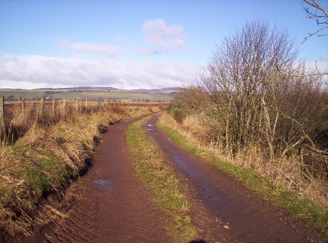
Visitors to Pitforkie Den can explore the numerous walking trails that wind their way through the valley, offering breathtaking views at every turn. The den also features several picnic spots, allowing visitors to relax and enjoy the peaceful surroundings.

The history of Pitforkie Den is also of interest, as it is believed to have been used by ancient settlers and later by local farmers for grazing their livestock. The remnants of old stone walls and ruins can still be seen, adding an element of mystery and intrigue to the area.

Overall, Pitforkie Den is a must-visit destination for those seeking a peaceful and idyllic retreat in the heart of Angus. Its natural beauty and rich history make it a truly captivating place to explore and immerse oneself in the wonders of nature.

If you have any feedback on the listing, please let us know in the comments section below.

Pitforkie Den Images

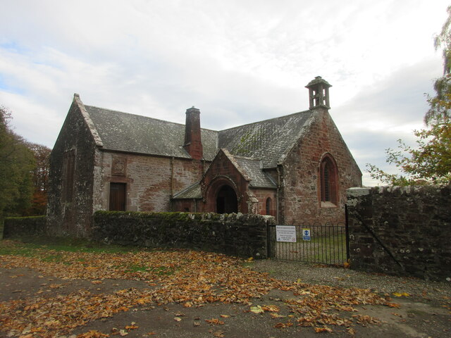
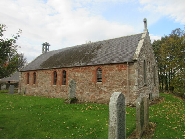
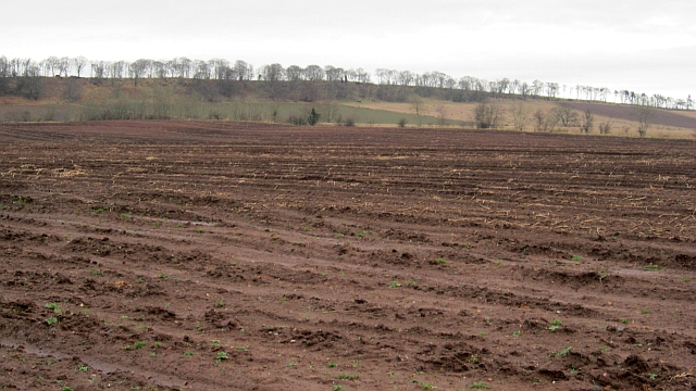
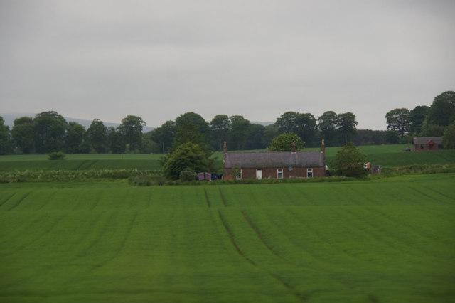
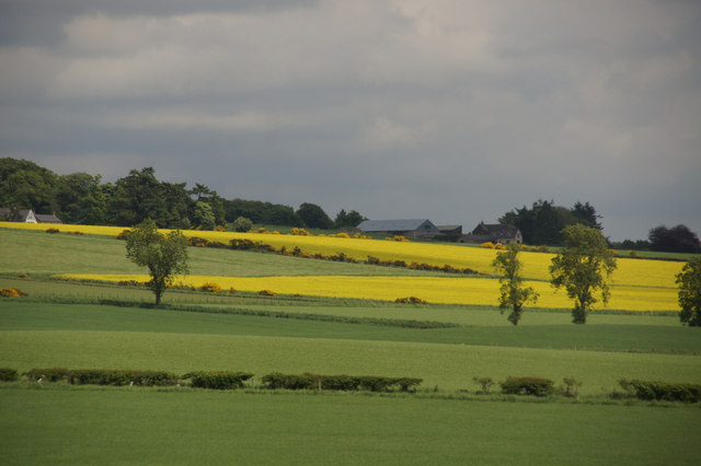
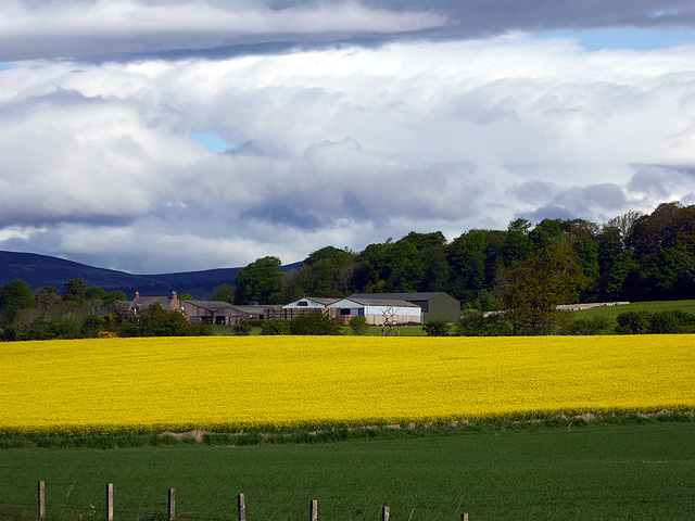
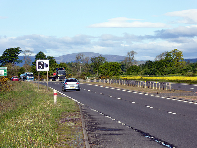
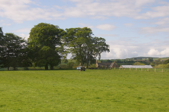
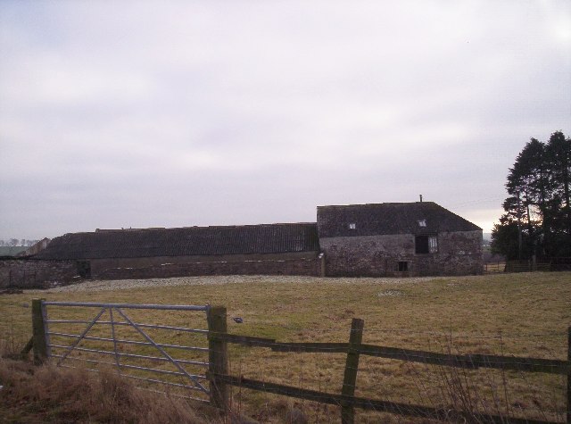
Images are sourced within 2km of 56.726032/-2.7589187 or Grid Reference NO5359. Thanks to Geograph Open Source API. All images are credited.

Careston Parish Kirk Careston Kirk viewed from the car parking area to the north-west.
Careston Parish Kirk
Careston Kirk viewed from the car parking area to the north-west.
Careston Kirk from the churchyard Careston Kirk viewed from the churchyard to the south-east.
Careston Kirk from the churchyard
Careston Kirk viewed from the churchyard to the south-east.
Turnoff from the A90 road to Careston This view is for southbound (locally westbound) motorists on the A90 road.
Turnoff from the A90 road to Careston
This view is for southbound (locally westbound) motorists on the A90 road.
Fields on the flood plain of the River South Esk
Last year's potatoes A field resting over the Winter at Careston.
Last year's potatoes
A field resting over the Winter at Careston.
The Park, Careston, near Brechin
Fields west of Brechin Looking towards Barrelwell.
Fields west of Brechin
Looking towards Barrelwell.
Drainage ditch alongside the A90
Oil seed rape beside the A90 Craigend of Careston beyond.
Oil seed rape beside the A90
Craigend of Careston beyond.
Speed cameras on the A90
Trailer in a field at Gateside, near Brechin
Careston Primary School This school appears to have gone the same way as a lot of country schools and is now shut.
Careston Primary School
This school appears to have gone the same way as a lot of country schools and is now shut.
Trig Point looking Towards The Caterthuns
Fields The vehicles in the distance are on the A90 dual carriageway.
Fields
The vehicles in the distance are on the A90 dual carriageway.
Track to North Wood Hill of Menmuir in the distance
Track to North Wood
Hill of Menmuir in the distance
Careston Telephone Exchange & Kiosk
Craigend of Careston Farm and farmland
Show me another place!

Pitforkie Den is located at Grid Ref: NO5359 (Lat: 56.726032, Lng: -2.7589187)

Unitary Authority: Angus

Police Authority: Tayside

What 3 Words

///bearable.providing.weary. Near Brechin, Angus

Related Wikis

Careston Castle

Careston Castle, also known as Caraldston Castle, is an L-plan tower house dating from the 16th century, on a 1,528-acre estate, in Careston parish, Angus...
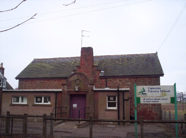
Careston

Careston is a hamlet in Angus, Scotland, that is in the parish of the same name, 5 miles west of Brechin. The parish and hamlet supposedly took their name...

Careston railway station

Careston railway station served the hamlet of Careston, Angus, Scotland, from 1895 to 1964 on the Forfar and Brechin Railway. == History == The station...

Melgund Castle

Melgund Castle, lying around two kilometres (1.2 mi) due east of Aberlemno in Angus, Scotland, is a 16th-century L-plan castle which has been partially...

Nearby Amenities

Located within 500m of 56.726032,-2.7589187
Mains of Careston
Place: hamlet
Lat/Long: 56.7286589/-2.7574625
Power: pole
Lat/Long: 56.7259979/-2.7526899
Power: pole
Lat/Long: 56.7259733/-2.753239
Power: pole
Lat/Long: 56.7266185/-2.7537551
Power: pole
Lat/Long: 56.7272042/-2.754184
Power: pole
Lat/Long: 56.7278351/-2.7546459
Power: pole
Lat/Long: 56.7284259/-2.7550818
Power: pole
Lat/Long: 56.7290413/-2.755572
Power: pole
Lat/Long: 56.7297046/-2.7560669
Power: pole
Lat/Long: 56.7298545/-2.7548579
Power: pole
Lat/Long: 56.7297976/-2.757264
Power: pole
Lat/Long: 56.7299049/-2.7584753
Power: pole
Lat/Long: 56.7300019/-2.7596301
Power: pole
Lat/Long: 56.7300937/-2.7607283
Power: pole
Lat/Long: 56.7301751/-2.7616827
The data included in this document is from www.openstreetmap.org. The data is made available under ODbL.

Have you been to Pitforkie Den?

Leave your review of Pitforkie Den below (or comments, questions and feedback).