Mosspark Wood
Wood, Forest in Angus
Scotland
Mosspark Wood
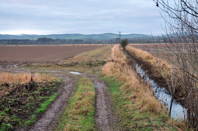
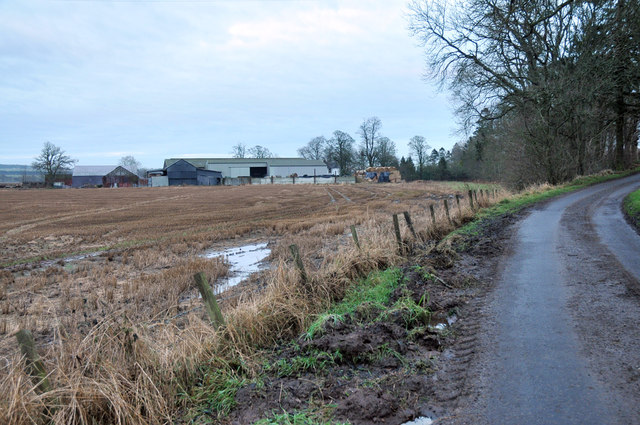
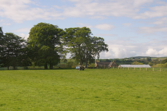
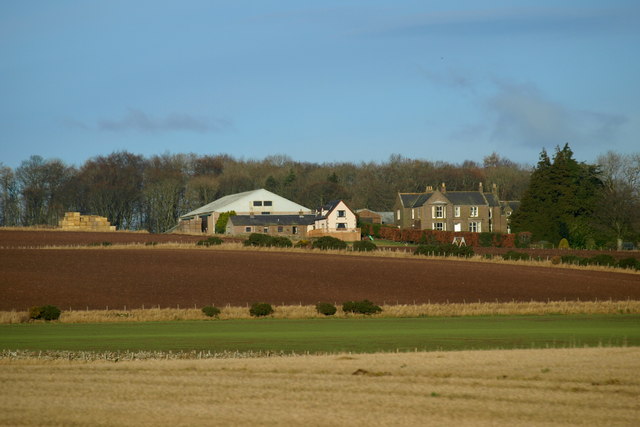
Mosspark Wood is a picturesque forest located in Angus, Scotland. Covering an area of approximately 200 acres, this woodland is a haven for nature enthusiasts and outdoor lovers alike. The wood is situated on the southern slopes of Balumgray Hill, offering stunning views of the surrounding countryside.
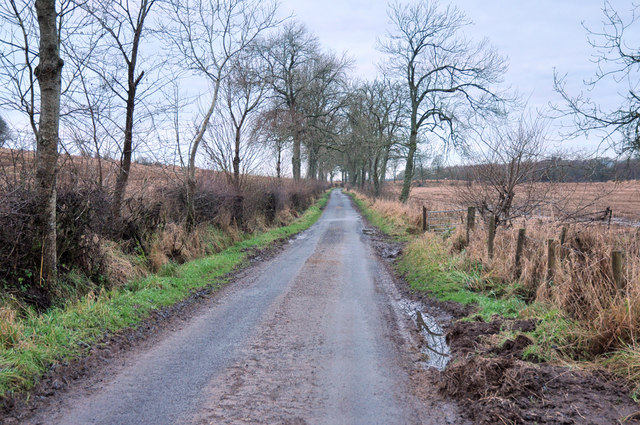
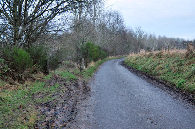
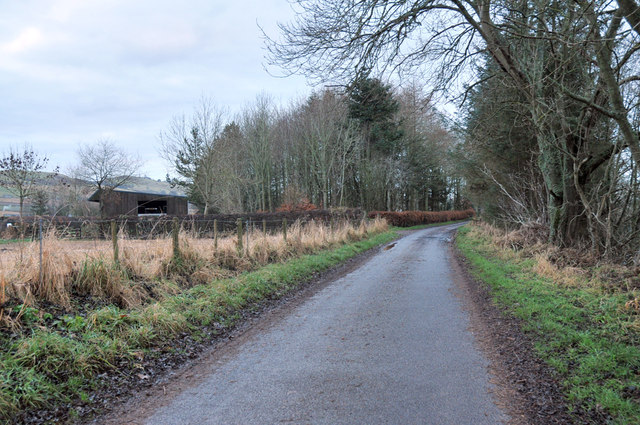
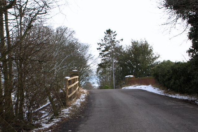
The forest is predominantly made up of native trees such as oak, birch, and rowan, creating a diverse and enchanting landscape. Walking through Mosspark Wood, visitors can explore a network of well-maintained trails that wind their way through the trees, providing opportunities for peaceful strolls and invigorating hikes.
The wood is home to a wide variety of wildlife, including red deer, foxes, and a multitude of bird species. Nature enthusiasts can enjoy spotting these animals in their natural habitats and can also observe the vibrant flora that thrives within the wood. During the spring and summer months, the forest comes alive with colorful wildflowers, creating a beautiful and vibrant atmosphere.
In addition to its natural beauty, Mosspark Wood also holds historical significance. The area is believed to have been inhabited since ancient times, and remnants of prehistoric settlements can still be found within the woodland. These archaeological features add an extra layer of intrigue to the forest, making it an ideal destination for history enthusiasts as well.
Overall, Mosspark Wood offers a peaceful and enchanting escape from the hustle and bustle of everyday life. Its natural beauty, diverse wildlife, and historical significance make it a must-visit destination for anyone seeking a tranquil and immersive woodland experience.
If you have any feedback on the listing, please let us know in the comments section below.
Mosspark Wood Images
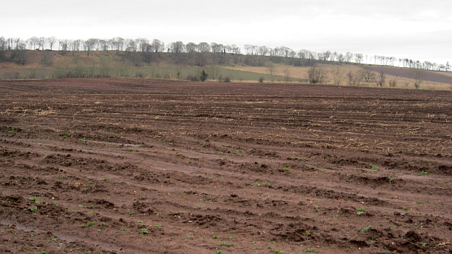
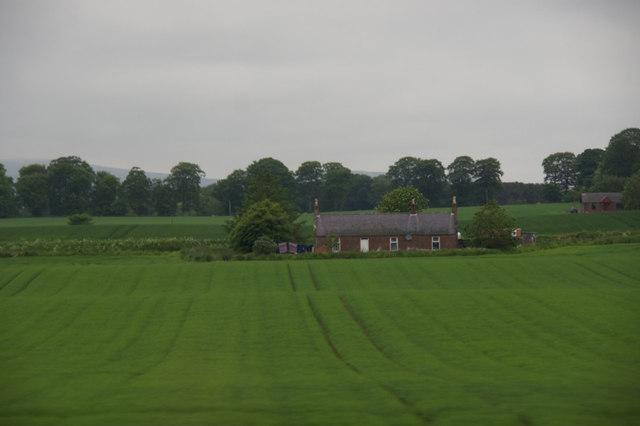
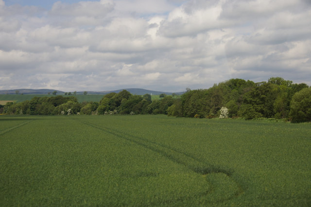
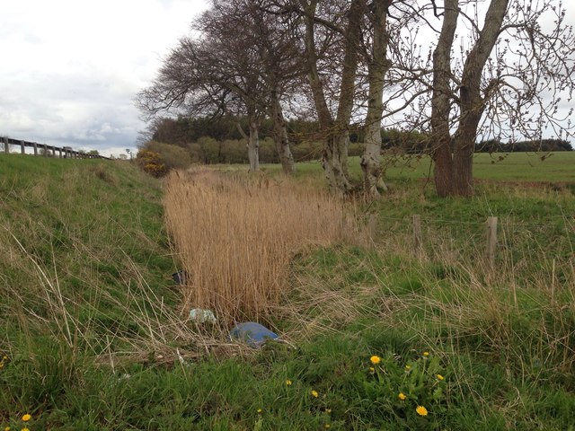
Images are sourced within 2km of 56.722882/-2.7686758 or Grid Reference NO5359. Thanks to Geograph Open Source API. All images are credited.
Mosspark Wood is located at Grid Ref: NO5359 (Lat: 56.722882, Lng: -2.7686758)
Unitary Authority: Angus
Police Authority: Tayside
What 3 Words
///strides.undertook.unguarded. Near Brechin, Angus
Nearby Locations
Related Wikis

Careston Castle
Careston Castle, also known as Caraldston Castle, is an L-plan tower house dating from the 16th century, on a 1,528-acre estate, in Careston parish, Angus...

Careston
Careston is a hamlet in Angus, Scotland, that is in the parish of the same name, 5 miles west of Brechin. The parish and hamlet supposedly took their name...

Careston railway station
Careston railway station served the hamlet of Careston, Angus, Scotland, from 1895 to 1964 on the Forfar and Brechin Railway. == History == The station...

Melgund Castle
Melgund Castle, lying around two kilometres (1.2 mi) due east of Aberlemno in Angus, Scotland, is a 16th-century L-plan castle which has been partially...
Nearby Amenities
Located within 500m of 56.722882,-2.7686758Have you been to Mosspark Wood?
Leave your review of Mosspark Wood below (or comments, questions and feedback).