Drum Wood
Wood, Forest in Angus
Scotland
Drum Wood
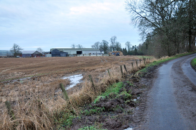
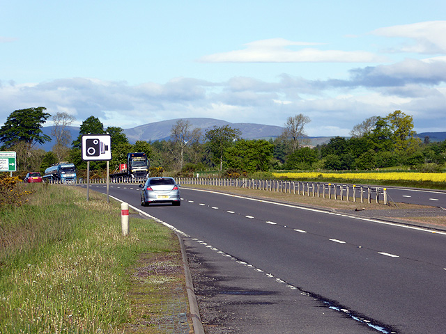
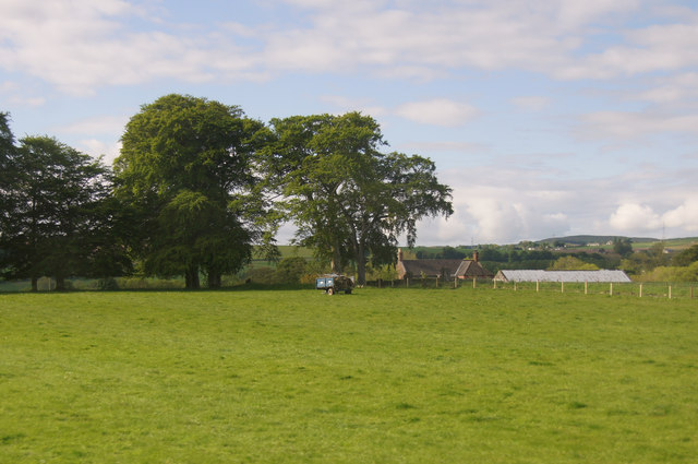
Drum Wood, Angus is a picturesque forest located in the Angus region of Scotland. Covering an area of approximately 100 hectares, this woodland is renowned for its natural beauty and diverse ecosystem. The forest is predominantly composed of native broadleaf trees, such as oak, birch, and beech, which provide a rich habitat for numerous plant and animal species.
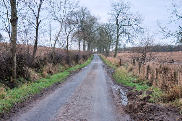
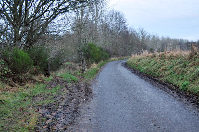
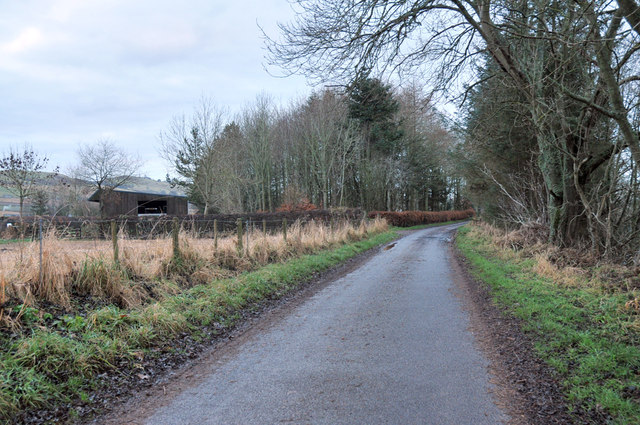
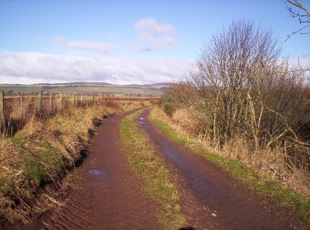
The forest is intersected by several walking trails, allowing visitors to explore and immerse themselves in its serene surroundings. These trails offer breathtaking views of the woodland, with sunlight filtering through the dense canopy and creating an enchanting atmosphere. The forest floor is carpeted with a variety of wildflowers, ferns, and mosses, adding to its visual appeal.
Drum Wood is also home to a wide range of wildlife. Visitors may be lucky enough to spot red squirrels darting between the trees or catch a glimpse of roe deer grazing in the clearings. The forest is also a haven for birdwatchers, with species such as woodpeckers, owls, and thrushes frequently spotted.
In addition to its natural beauty, Drum Wood has historical significance as well. There are remnants of ancient settlements and archaeological sites within the forest, providing a glimpse into the region's past.
Overall, Drum Wood, Angus is a captivating forest that offers visitors a chance to connect with nature, explore its diverse flora and fauna, and experience the tranquility of the Scottish countryside.
If you have any feedback on the listing, please let us know in the comments section below.
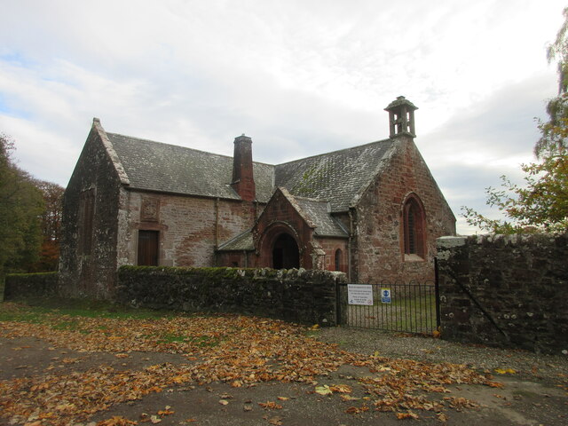
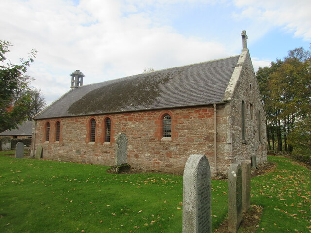
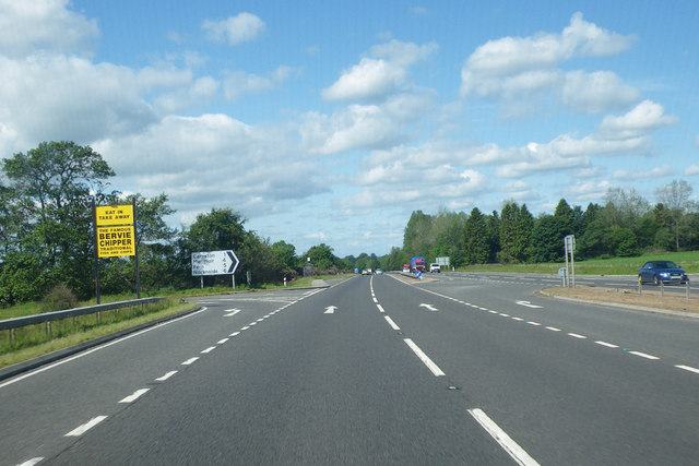
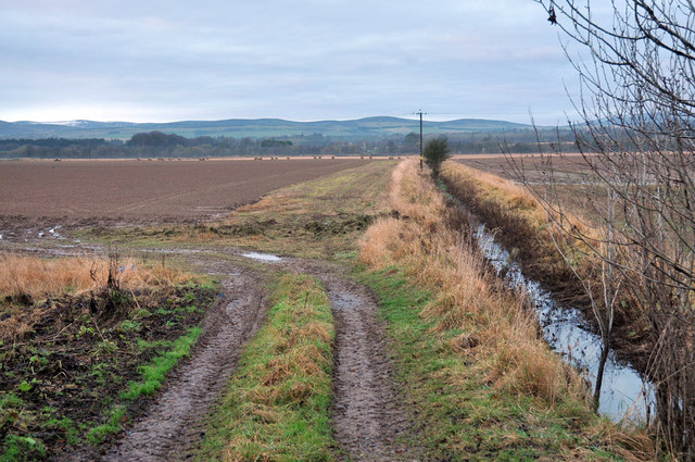
Drum Wood Images
Images are sourced within 2km of 56.721879/-2.7682468 or Grid Reference NO5359. Thanks to Geograph Open Source API. All images are credited.
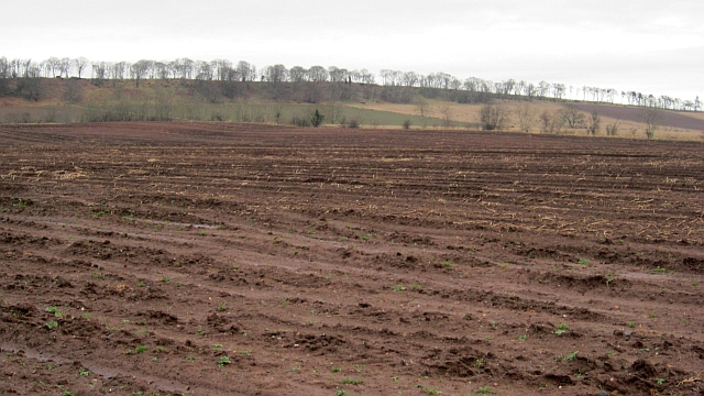
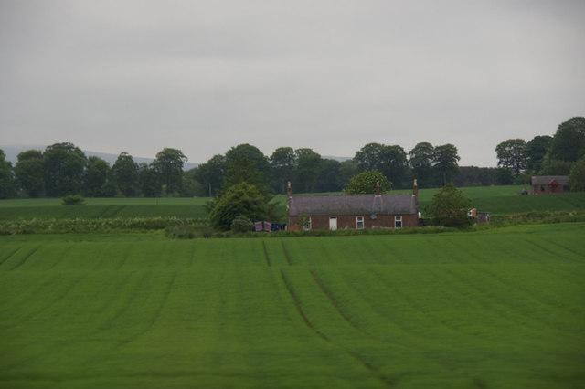
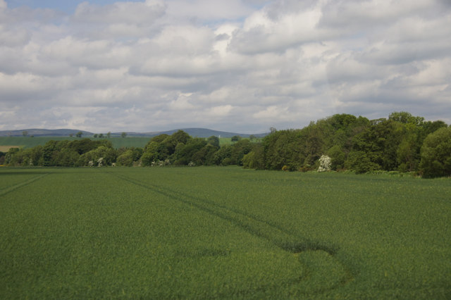
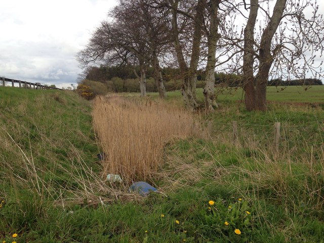
Drum Wood is located at Grid Ref: NO5359 (Lat: 56.721879, Lng: -2.7682468)
Unitary Authority: Angus
Police Authority: Tayside
What 3 Words
///surpasses.shows.shameless. Near Brechin, Angus
Nearby Locations
Related Wikis

Careston Castle
Careston Castle, also known as Caraldston Castle, is an L-plan tower house dating from the 16th century, on a 1,528-acre estate, in Careston parish, Angus...

Careston
Careston is a hamlet in Angus, Scotland, that is in the parish of the same name, 5 miles west of Brechin. The parish and hamlet supposedly took their name...

Careston railway station
Careston railway station served the hamlet of Careston, Angus, Scotland, from 1895 to 1964 on the Forfar and Brechin Railway. == History == The station...

Melgund Castle
Melgund Castle, lying around two kilometres (1.2 mi) due east of Aberlemno in Angus, Scotland, is a 16th-century L-plan castle which has been partially...
Nearby Amenities
Located within 500m of 56.721879,-2.7682468Have you been to Drum Wood?
Leave your review of Drum Wood below (or comments, questions and feedback).