Woodheads Plantation
Wood, Forest in Berwickshire
Scotland
Woodheads Plantation
Woodheads Plantation is a picturesque woodland located in Berwickshire, Scotland. Covering an area of approximately 500 acres, it is a prominent feature in the local landscape. The plantation is situated near the village of Woodheads and is easily accessible, making it a popular destination for nature enthusiasts and hikers alike.
The woodland is primarily composed of a variety of tree species, including Scots pine, oak, and birch. These trees form a dense canopy, providing shade and shelter for a diverse range of flora and fauna. Wildflowers such as bluebells and primroses carpet the forest floor during the spring months, creating a vibrant display of colors.
Woodheads Plantation is also home to various wildlife species, including deer, foxes, and a wide array of bird species. Birdwatchers often visit the woodland to catch a glimpse of the elusive golden eagle or listen to the melodious songs of the resident songbirds.
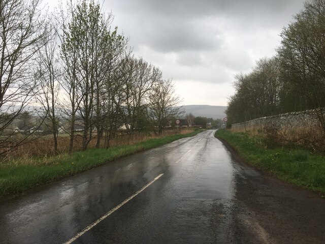
The plantation offers several well-maintained trails and footpaths, allowing visitors to explore the woodland at their own pace. These paths wind through the forest, offering breathtaking views of the surrounding countryside and nearby hills. Along the trails, visitors may encounter rustic wooden benches, providing a perfect spot to rest and take in the serene beauty of the woodland.
Overall, Woodheads Plantation is a haven for nature lovers, offering a tranquil escape from the hustle and bustle of everyday life. With its diverse ecosystem, stunning views, and well-marked trails, it is a must-visit destination for anyone seeking to immerse themselves in the natural beauty of Berwickshire.
If you have any feedback on the listing, please let us know in the comments section below.
Woodheads Plantation Images
Images are sourced within 2km of 55.706655/-2.7479774 or Grid Reference NT5346. Thanks to Geograph Open Source API. All images are credited.


Woodheads Plantation is located at Grid Ref: NT5346 (Lat: 55.706655, Lng: -2.7479774)
Unitary Authority: The Scottish Borders
Police Authority: The Lothians and Scottish Borders
What 3 Words
///beakers.levels.king. Near Lauder, Scottish Borders
Nearby Locations
Related Wikis

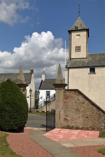
Lauder Town Hall
Lauder Town Hall is a municipal structure in the Market Place in Lauder, Scottish Borders, Scotland. The structure, which is used as the local registrar...

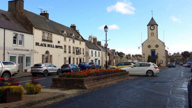
Lauder
The former Royal Burgh of Lauder (, Scottish Gaelic: Labhdar) is a town in the Scottish Borders in the historic county of Berwickshire. On the Southern...

Thirlestane Castle
Thirlestane Castle is a castle set in extensive parklands near Lauder in the Borders of Scotland. The site is aptly named Castle Hill, as it stands upon...

Lauder railway station
Lauder railway station served the town of Lauder, Berwickshire, Scotland, from 1901 to 1958. It was situated on the Lauder Light Railway. == History... ==
Nearby Amenities
Located within 500m of 55.706655,-2.7479774Have you been to Woodheads Plantation?
Leave your review of Woodheads Plantation below (or comments, questions and feedback).