Roughpark Wood
Wood, Forest in Angus
Scotland
Roughpark Wood
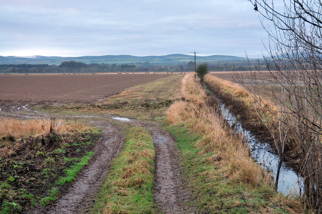
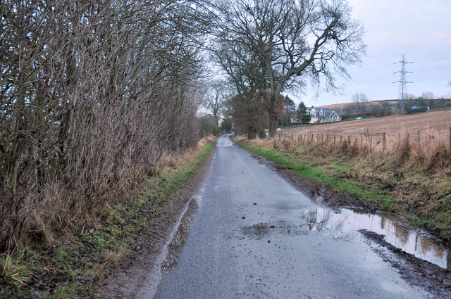
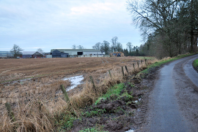
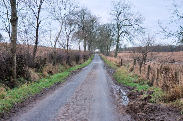
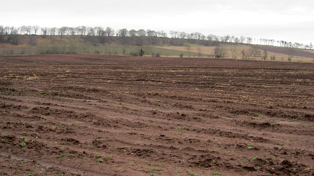
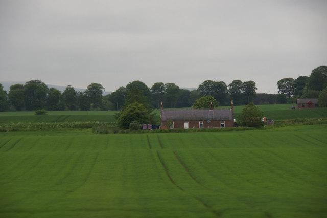
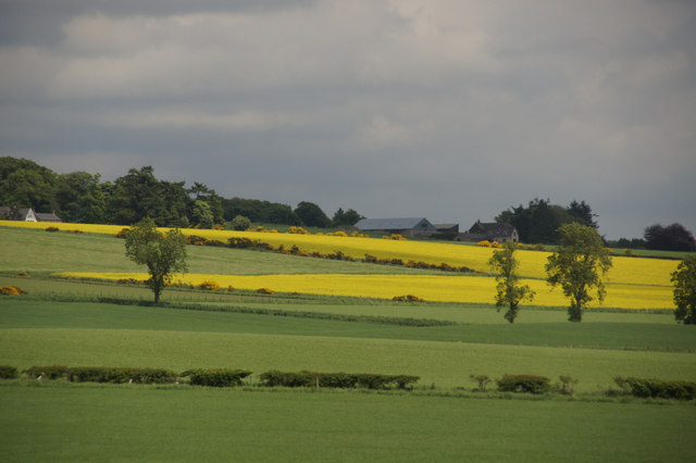
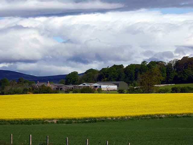
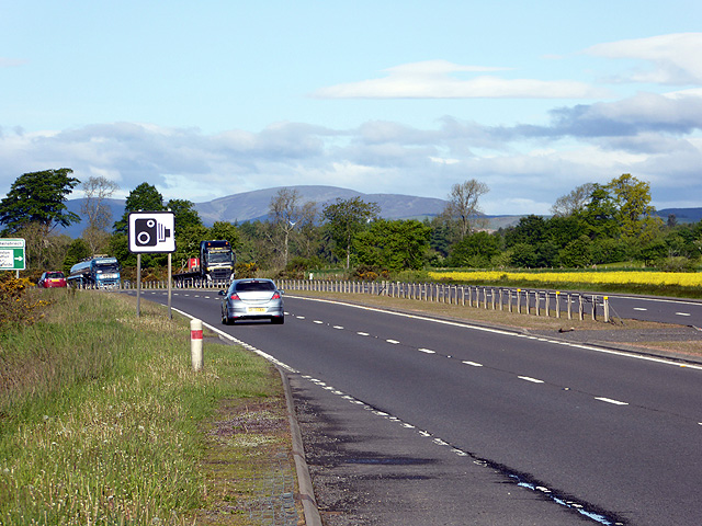
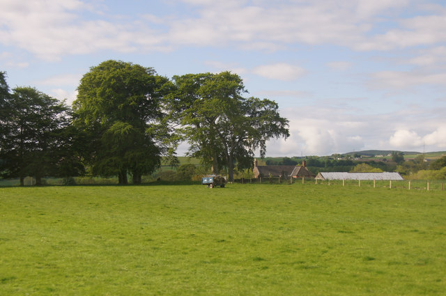
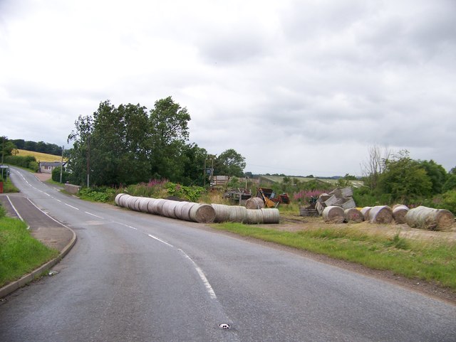
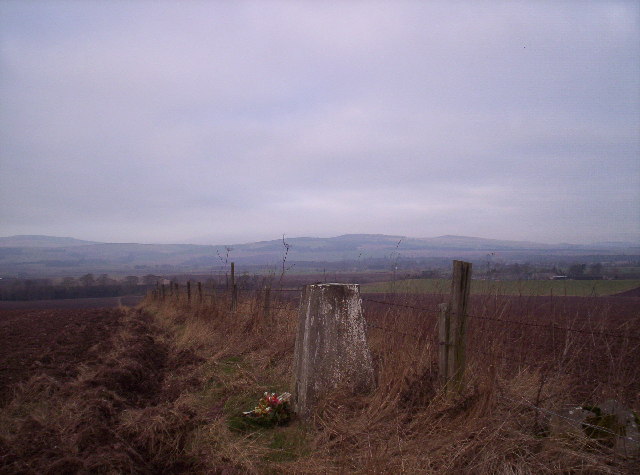
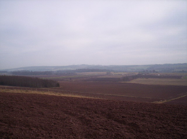
Roughpark Wood, located in Angus, Scotland, is a captivating forest that spans across a vast area. With its diverse flora and fauna, it is a popular destination for nature enthusiasts and hikers alike. The woodland is situated in a picturesque setting, surrounded by rolling hills and offering stunning views of the countryside.
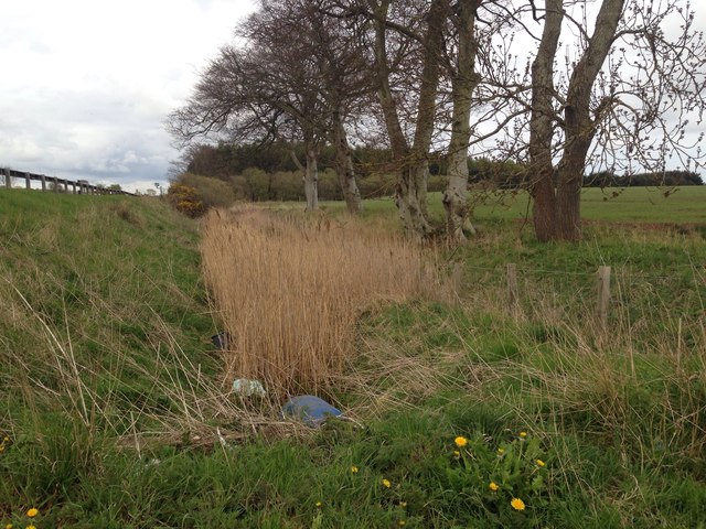
Roughpark Wood boasts a rich variety of tree species, including oak, birch, and pine, which create a dense and enchanting canopy. The forest floor is adorned with carpets of moss, wildflowers, and ferns, adding to its natural beauty. The wood is also home to a multitude of wildlife, including deer, squirrels, and a wide array of bird species. Visitors can often spot these animals as they explore the trails and pathways that wind their way through the forest.
The wood is well-maintained, with designated trails for walkers and cyclists, ensuring that visitors can explore the area safely. There are also picnic areas and benches strategically placed throughout the wood, allowing visitors to rest and enjoy the tranquil atmosphere. In addition, Roughpark Wood is equipped with informative signposts and boards that provide interesting facts about the flora and fauna found in the area, enhancing the educational experience for visitors.
Whether it's a leisurely stroll, a challenging hike, or a peaceful picnic, Roughpark Wood offers something for everyone. Its natural beauty, diverse wildlife, and well-maintained trails make it a must-visit destination for those seeking to immerse themselves in the wonders of nature.
If you have any feedback on the listing, please let us know in the comments section below.
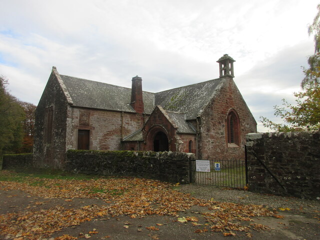
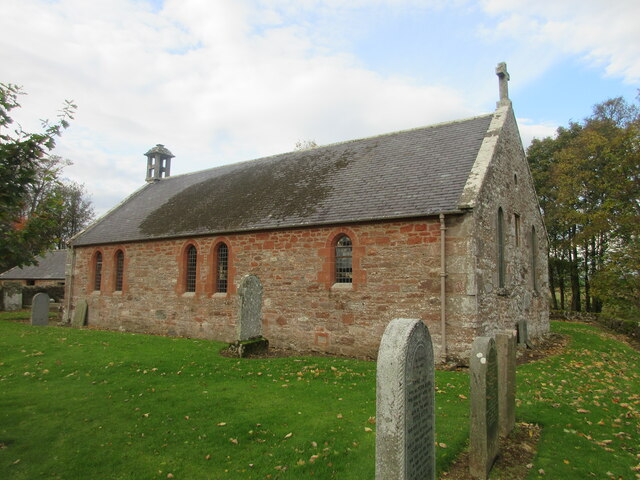
Roughpark Wood Images
Images are sourced within 2km of 56.723972/-2.7579621 or Grid Reference NO5359. Thanks to Geograph Open Source API. All images are credited.
Roughpark Wood is located at Grid Ref: NO5359 (Lat: 56.723972, Lng: -2.7579621)
Unitary Authority: Angus
Police Authority: Tayside
What 3 Words
///ushering.anchors.sued. Near Brechin, Angus
Nearby Locations
Related Wikis

Careston Castle
Careston Castle, also known as Caraldston Castle, is an L-plan tower house dating from the 16th century, on a 1,528-acre estate, in Careston parish, Angus...

Careston
Careston is a hamlet in Angus, Scotland, that is in the parish of the same name, 5 miles west of Brechin. The parish and hamlet supposedly took their name...

Careston railway station
Careston railway station served the hamlet of Careston, Angus, Scotland, from 1895 to 1964 on the Forfar and Brechin Railway. == History == The station...

Melgund Castle
Melgund Castle, lying around two kilometres (1.2 mi) due east of Aberlemno in Angus, Scotland, is a 16th-century L-plan castle which has been partially...
Related Videos
Western Pictish Cross Slab Standing Stone With Music On History Visit To Aberlemno Angus Scotland
Tour Scotland short 4K travel video clip, with Scottish music, the amazing Western road side cross slab Pictish Standing Stone on ...

Sea Horses Pictish Standing Stone With Music On History Visit To Aberlemno Angus Scotland
Tour Scotland short 4K travel video clip, with Scottish music, Sea Horses carved on a Pictish Standing Stone on ancestry, ...
Aberlemno Village Angus Pictish stones walkabout tour Scotland
We take trip to Forfar and grab a couple of bridies then we travel on to Aberlemno and to see the Pictish stones.
Exterior And Interior Of Parish Church On History Visit To Aberlemno Angus Scotland
Tour Scotland 4K travel video, with some Scottish music, of the exterior of the Parish Church and graveyard on ancestry, ...
Nearby Amenities
Located within 500m of 56.723972,-2.7579621Have you been to Roughpark Wood?
Leave your review of Roughpark Wood below (or comments, questions and feedback).