Easterhill Wood
Wood, Forest in Roxburghshire
Scotland
Easterhill Wood
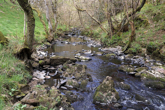
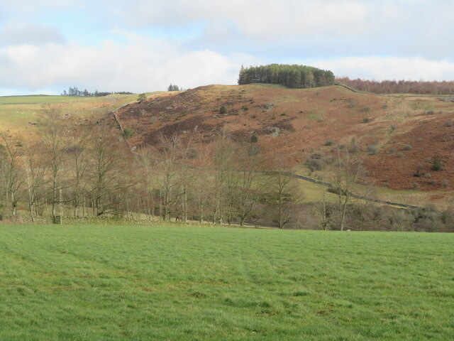
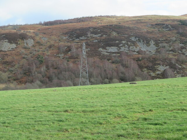
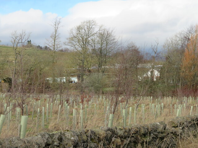
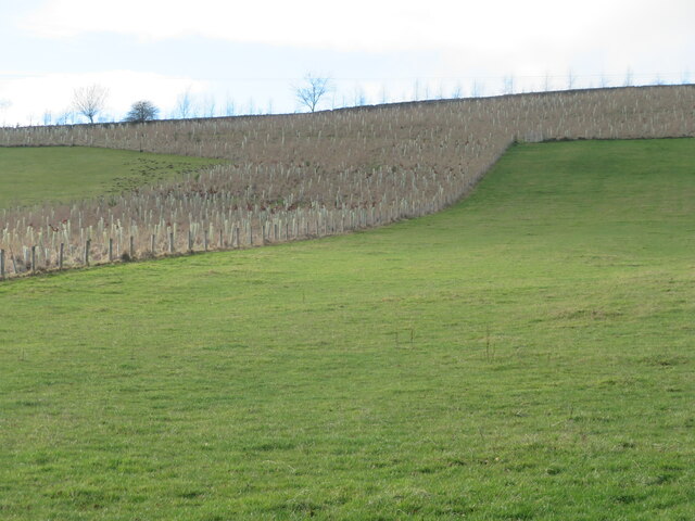
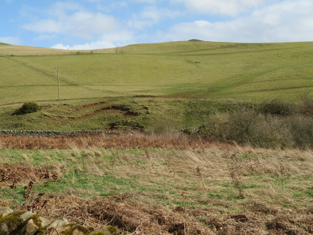
Easterhill Wood is a picturesque forest located in the region of Roxburghshire, Scotland. Covering an area of approximately 100 hectares, the wood is a popular destination for nature lovers and outdoor enthusiasts.
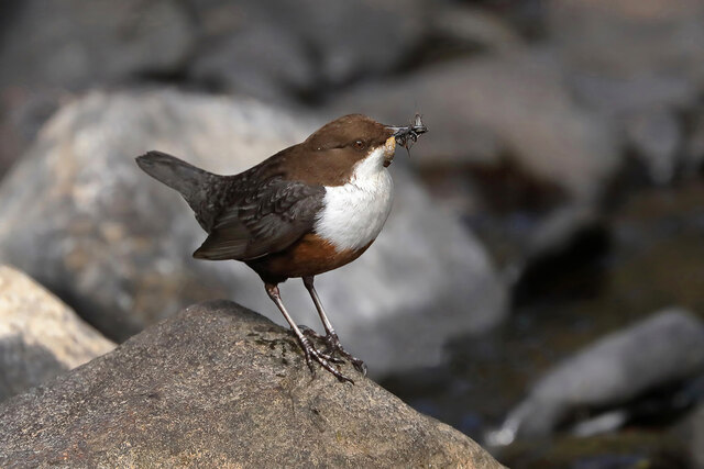
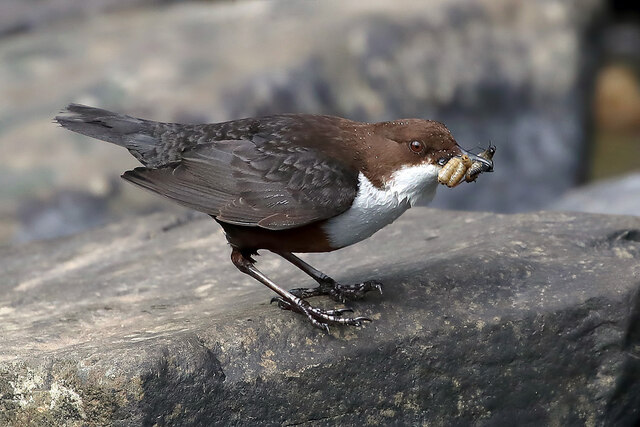
The wood is home to a diverse range of flora and fauna, making it an important habitat for wildlife. Visitors can expect to see a variety of tree species, including oak, birch, and pine, which create a beautiful and tranquil atmosphere. The forest floor is also adorned with a rich carpet of wildflowers during the spring and summer months.
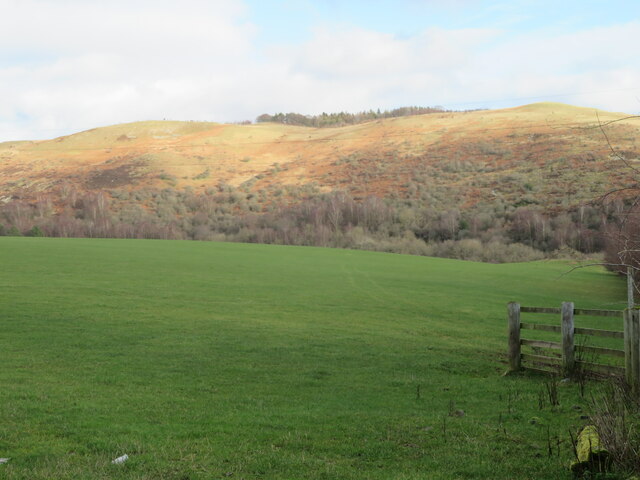
For those interested in exploring the wood, there are several well-maintained walking trails that wind through the dense foliage. These paths offer stunning views of the surrounding countryside and provide an opportunity to spot wildlife such as deer, squirrels, and various bird species.
Easterhill Wood is not only a haven for nature enthusiasts but also a place of historical significance. The wood is believed to have been part of an ancient hunting ground and is dotted with remnants of old stone walls and structures, adding an element of intrigue and mystique to the area.
Visitors to Easterhill Wood can enjoy a peaceful and serene environment, perfect for unwinding and connecting with nature. With its abundant wildlife, beautiful scenery, and historical charm, this forest is a true gem in the heart of Roxburghshire.
If you have any feedback on the listing, please let us know in the comments section below.
Easterhill Wood Images
Images are sourced within 2km of 55.633426/-2.7476138 or Grid Reference NT5338. Thanks to Geograph Open Source API. All images are credited.


![Comment on the state of the road This sign was there in August 2021 [Google Street View imagery]. In all fairness the road was fine nearly two years later; perhaps it should be removed to somewhere else where the roads are still a disgrace - Edinburgh would be a good candidate.](https://s1.geograph.org.uk/geophotos/07/40/22/7402297_8c5d28fc.jpg)


Easterhill Wood is located at Grid Ref: NT5338 (Lat: 55.633426, Lng: -2.7476138)
Unitary Authority: The Scottish Borders
Police Authority: The Lothians and Scottish Borders
What 3 Words
///emulated.pheasants.ballooned. Near Tweedbank, Scottish Borders
Nearby Locations
Related Wikis

Gala Water
The Gala Water (Lowland Scots: Gala Watter; Scottish Gaelic An Geal Ath) is a river in the Scottish Borders area of Scotland and a tributary of the River...

Tweedbank railway station
Tweedbank is a railway station on the Borders Railway, which runs between Edinburgh Waverley and Tweedbank. The station, situated 35 miles 34 chains (57...

Gattonside
Gattonside is a small village in the Scottish Borders. It is located 1 kilometre (0.62 mi) north of Melrose, on the north side of the River Tweed. In 1143...

Tweedbank
Tweedbank is a large village south-east of Galashiels in the Scottish Borders, Scotland. It is part of the county of Roxburghshire. It is an outer suburb...

Netherdale
Netherdale is a sports complex in Galashiels, Scottish Borders, consisting of two adjacent stadiums used for rugby union and football. The rugby ground...

Borders College
Borders College (Scottish Gaelic: Colaiste nan Crìochan) is a further education institution in the Scottish Borders, Scotland. Its main campus is located...

Darnick
Darnick is a village near Melrose in the Scottish Borders area of Scotland, in the former Roxburghshire. The name was first recorded in 1124, and has changed...

Carolside, Scottish Borders
Carolside is an estate by the Leader Water, in the Scottish Borders. It is located one mile (1.6 km) north of Earlston, in the former county of Berwickshire...
Nearby Amenities
Located within 500m of 55.633426,-2.7476138Have you been to Easterhill Wood?
Leave your review of Easterhill Wood below (or comments, questions and feedback).