Hill End Wood
Wood, Forest in Roxburghshire
Scotland
Hill End Wood
Hill End Wood is a picturesque woodland located in Roxburghshire, a county in the southern part of Scotland. This woodland is renowned for its natural beauty and is a popular destination for nature enthusiasts and outdoor lovers.
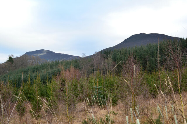
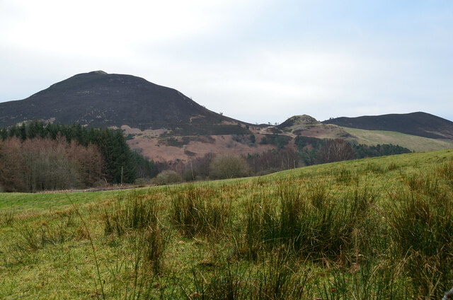
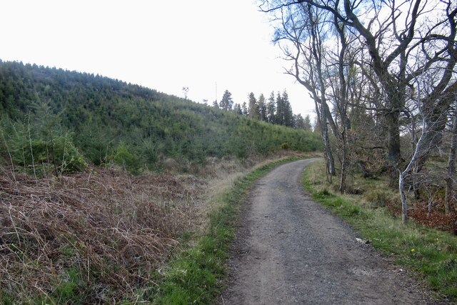
Covering an area of approximately 50 hectares, Hill End Wood is characterized by its diverse range of tree species, including oak, birch, and Scots pine. The woodland is known for its vibrant colors throughout the seasons, with stunning displays of bluebells in spring and a rich tapestry of autumnal hues in the fall.
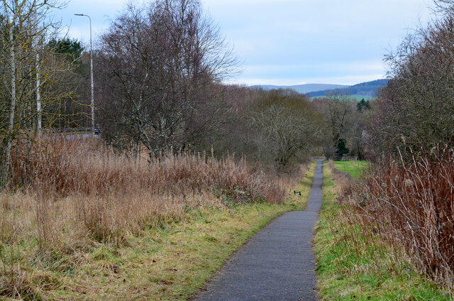
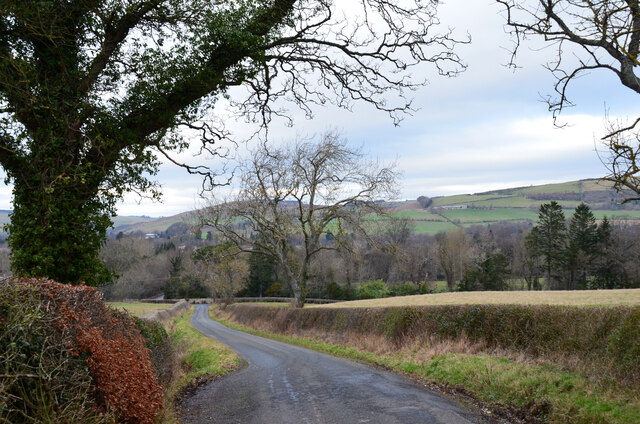
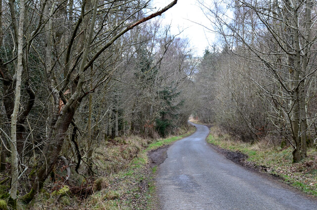
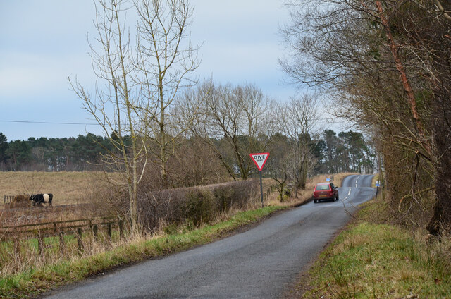
The wood features a network of well-maintained walking trails that wind through the trees, offering visitors the opportunity to explore its wonders at their own pace. These trails provide a peaceful and serene environment, allowing visitors to immerse themselves in nature and enjoy the tranquility of the surroundings.
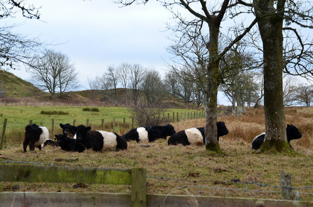
Wildlife is abundant within Hill End Wood, with various species of birds, mammals, and insects calling it home. Birdwatchers can spot a variety of species, including woodpeckers, owls, and warblers. Squirrels can be seen darting among the trees, and if lucky, visitors may even catch a glimpse of a roe deer.
Hill End Wood is also of historical significance, with remnants of an Iron Age hillfort located within its boundaries. This adds an additional layer of intrigue and historical interest to the woodland, making it a fascinating destination for those interested in both nature and history.
Overall, Hill End Wood is a captivating woodland sanctuary, offering visitors a chance to connect with nature, explore its trails, and soak in the beauty of the Scottish countryside.
If you have any feedback on the listing, please let us know in the comments section below.
Hill End Wood Images
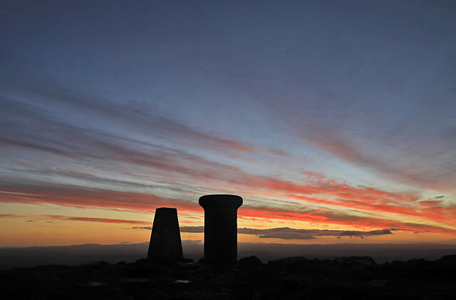
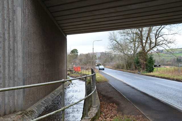
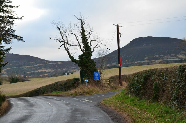
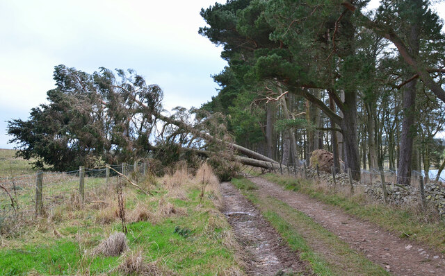
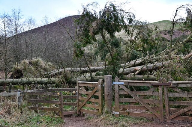
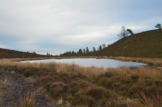
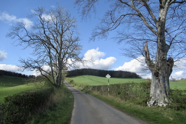
Images are sourced within 2km of 55.580228/-2.7467132 or Grid Reference NT5332. Thanks to Geograph Open Source API. All images are credited.
Hill End Wood is located at Grid Ref: NT5332 (Lat: 55.580228, Lng: -2.7467132)
Unitary Authority: The Scottish Borders
Police Authority: The Lothians and Scottish Borders
What 3 Words
///barman.keyboard.scooters. Near Melrose, Scottish Borders
Nearby Locations
Related Wikis
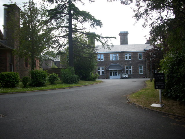
Dingleton Hospital
Dingleton Hospital was a mental health facility in Melrose, Scotland. The former boiler house is a Category B listed building. == History == The hospital...

Borders General Hospital
Borders General Hospital (BGH) is a district general hospital on the outskirts of Melrose, Scotland. It is managed by NHS Borders. == History == The hospital...

Eildon Hill
Eildon Hill lies just south of Melrose, Scotland in the Scottish Borders, overlooking the town. The name is usually pluralised into "the Eildons" or "Eildon...

Castle Holydean
Holydean Castle (pronounced "hollydeen") was a castle sited near Melrose in Bowden, 1.25 miles SW of the village, in the Scottish Borders region of Scotland...
Nearby Amenities
Located within 500m of 55.580228,-2.7467132Have you been to Hill End Wood?
Leave your review of Hill End Wood below (or comments, questions and feedback).