Blackcock Cleuch

Valley in Roxburghshire

Scotland

Blackcock Cleuch

Broomilees Road. Infilled Railway cutting At this point was an over bridge on the Waverley Line, now infilled.


<span class="nowrap"><a title="https://tinyurl.com/e94tw557" rel="nofollow ugc noopener" href="https://tinyurl.com/e94tw557">Link</a><img style="margin-left:2px;" alt="External link" title="External link - shift click to open in new window" src="https://s1.geograph.org.uk/img/external.png" width="10" height="10"/></span>
Broomilees Road. Infilled Railway cutting Credit: Trevor Edward Streeter

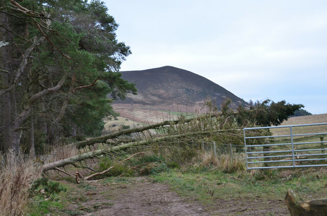
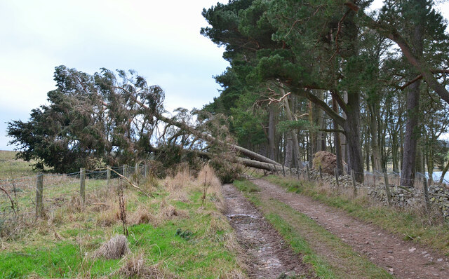
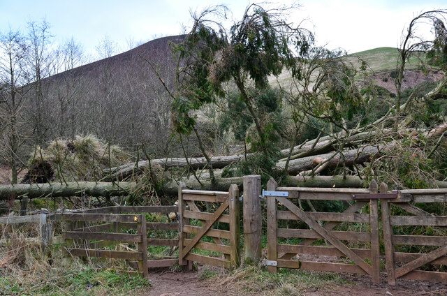
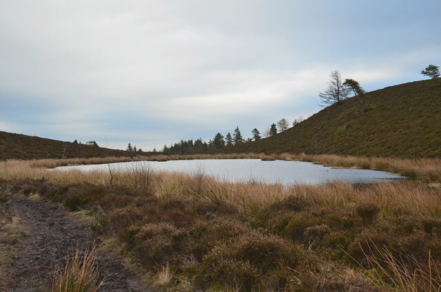
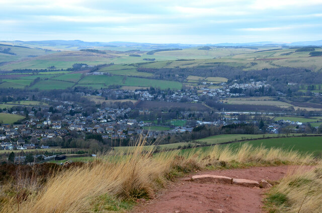
Blackcock Cleuch is a picturesque valley located in Roxburghshire, Scotland. Situated amidst the rolling hills and lush greenery, this valley is a haven for nature enthusiasts and provides a tranquil escape from the hustle and bustle of city life.

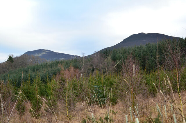
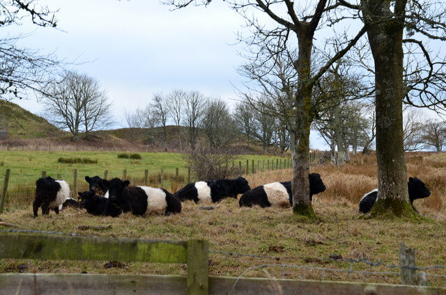
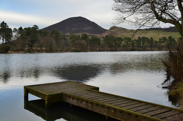
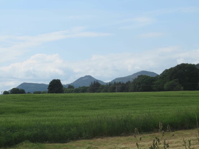
The valley is named after the black grouse, also known as the blackcock, which can often be spotted in the area. Its diverse landscape offers a blend of heather moorland, wooded areas, and meandering streams, creating a rich and varied habitat for a wide range of flora and fauna.

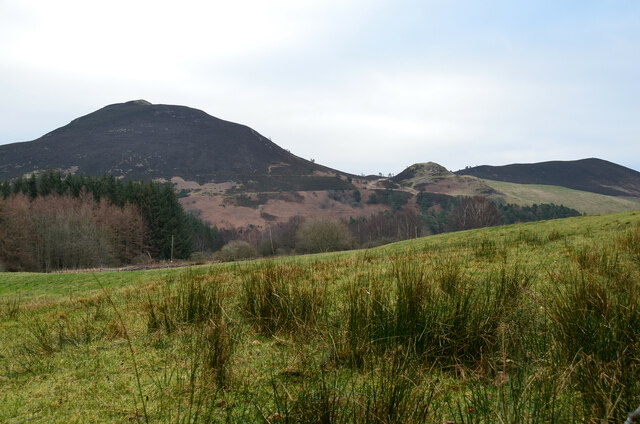
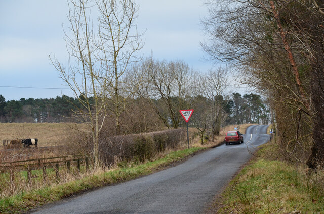
The valley is renowned for its stunning natural beauty, with breathtaking panoramic views and an abundance of wildlife. Visitors can enjoy scenic walks along the well-marked trails that wind their way through the valley, taking in the sights and sounds of the surrounding nature.

The valley is also home to several historical landmarks, including ancient burial mounds and ruins of old settlements, providing a glimpse into the area's rich cultural heritage. These sites offer a fascinating insight into the lives of the people who once inhabited the valley.

Blackcock Cleuch is a popular destination for outdoor activities such as hiking, birdwatching, and photography. The valley's peaceful atmosphere and untouched natural beauty make it an ideal spot for those seeking relaxation and a connection with nature.

Overall, Blackcock Cleuch in Roxburghshire is a hidden gem, offering visitors a chance to immerse themselves in the beauty of the Scottish countryside and experience the tranquility of this enchanting valley.

If you have any feedback on the listing, please let us know in the comments section below.

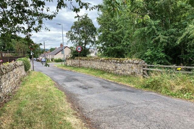
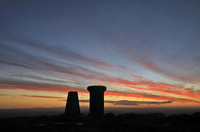
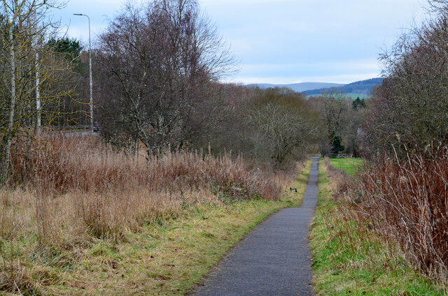
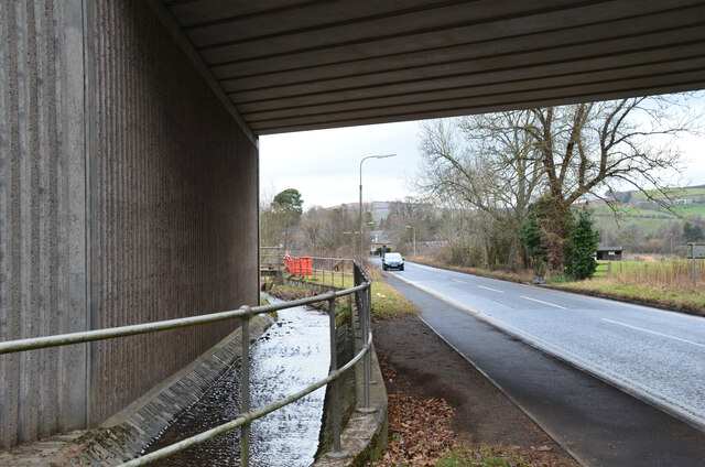
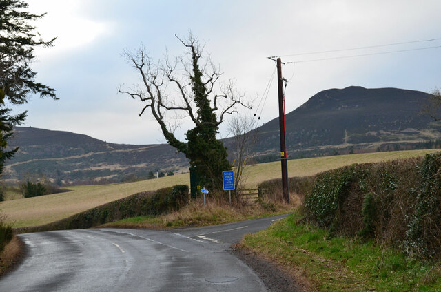
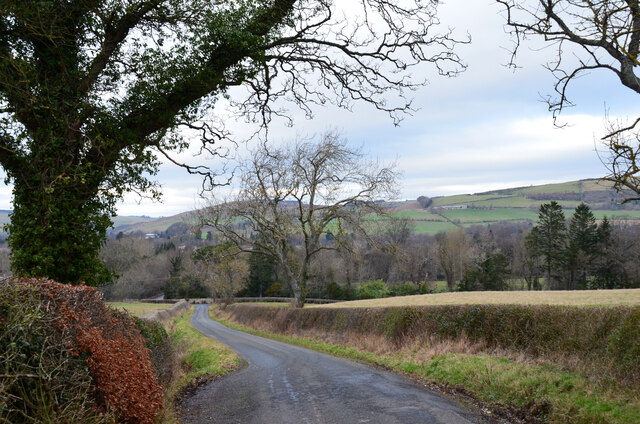
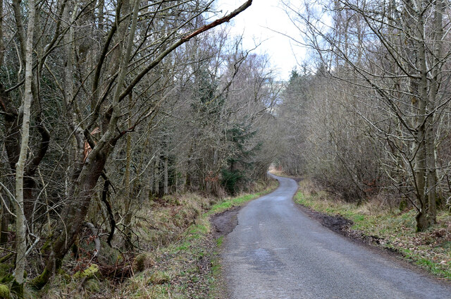
Blackcock Cleuch Images

Images are sourced within 2km of 55.587235/-2.7425944 or Grid Reference NT5332. Thanks to Geograph Open Source API. All images are credited.

Broomilees Road. Infilled Railway cutting At this point was an over bridge on the Waverley Line, now infilled.


<span class="nowrap"><a title="https://tinyurl.com/e94tw557" rel="nofollow ugc noopener" href="https://tinyurl.com/e94tw557">Link</a><img style="margin-left:2px;" alt="External link" title="External link - shift click to open in new window" src="https://s1.geograph.org.uk/img/external.png" width="10" height="10"/></span>
Broomilees Road. Infilled Railway cutting
At this point was an over bridge on the Waverley Line, now infilled. LinkExternal link
Dawn at the summit of Eildon Mid Hill The trig point and toposcope are silhouetted against a colourful sky about 15 minutes before sunrise.
Dawn at the summit of Eildon Mid Hill
The trig point and toposcope are silhouetted against a colourful sky about 15 minutes before sunrise.
Cyclepath alongside Melrose By-Pass A path by the A6091 east of the Borders General Hospital.
Cyclepath alongside Melrose By-Pass
A path by the A6091 east of the Borders General Hospital.
Underpass near Borders General Hospital The underpass carries the Dingleton road and the Huntly Burn below the A6091 Melrose By-Pass.
Underpass near Borders General Hospital
The underpass carries the Dingleton road and the Huntly Burn below the A6091 Melrose By-Pass.
Road junction near Borders General Hospital Junction for a minor road, single track with passing places, with the road between Darnick and Dingleton. Eildon Mid Hill is to the right.
Road junction near Borders General Hospital
Junction for a minor road, single track with passing places, with the road between Darnick and Dingleton. Eildon Mid Hill is to the right.
Minor road near Dingleton A single-track road through farmland and plantations west of Dingleton.
Minor road near Dingleton
A single-track road through farmland and plantations west of Dingleton.
Minor road through plantations, Dingleton A single-track road west of Dingleton.
Minor road through plantations, Dingleton
A single-track road west of Dingleton.
Eildon Hills from plantations near Dingleton Eildon Hill North (L) and Eildon Mid Hill seen from a minor road west of Dingleton.
Eildon Hills from plantations near Dingleton
Eildon Hill North (L) and Eildon Mid Hill seen from a minor road west of Dingleton.
Eildon Hills from the west Eildon Mid Hill (L), Little Hill (centre) and Wester Hill (R) seen from the single-track road west of Dingleton.
Eildon Hills from the west
Eildon Mid Hill (L), Little Hill (centre) and Wester Hill (R) seen from the single-track road west of Dingleton.
Road junction near Bowdenmoor Reservoir The single-track road meets the B6359 road from Dingleton.
Road junction near Bowdenmoor Reservoir
The single-track road meets the B6359 road from Dingleton.
Belted Galloway cattle, Bowdenmoor Distinctive black and white cattle by the B6359.
Belted Galloway cattle, Bowdenmoor
Distinctive black and white cattle by the B6359.
Bowden Loch This former reservoir is a fishery and it had attracted a number of anglers and walkers on this Sunday afternoon. Eildon Mid Hill dominates the skyline with Little Hill to the right.
Bowden Loch
This former reservoir is a fishery and it had attracted a number of anglers and walkers on this Sunday afternoon. Eildon Mid Hill dominates the skyline with Little Hill to the right.
Fallen trees at Bowden Loch Two Scots pines across the track, aftermath of Storm Arwen's northerly gales in November last year.
Fallen trees at Bowden Loch
Two Scots pines across the track, aftermath of Storm Arwen's northerly gales in November last year.
More fallen trees at Bowden Loch Two more Scots pines near the loch shore, brought down in Storm Arwen in November last year.
More fallen trees at Bowden Loch
Two more Scots pines near the loch shore, brought down in Storm Arwen in November last year.
Fallen trees at east end of Bowden Loch More Scots pines brought down here in Storm Arwen last November. Fortunately there was enough room to squeeze past to the right to gain the open hillside.
Fallen trees at east end of Bowden Loch
More Scots pines brought down here in Storm Arwen last November. Fortunately there was enough room to squeeze past to the right to gain the open hillside.
Lochan below Eildon Mid Hill A lochan on the col between Mid Hill and Wester Hill, not shown on the 1:25,000 map. The path skirts its northern edge.
Lochan below Eildon Mid Hill
A lochan on the col between Mid Hill and Wester Hill, not shown on the 1:25,000 map. The path skirts its northern edge.
Melrose in view The town coming into view from the red clay path descending from the col between the North and Mid Eildon Hills. The rugby ground is at about centre with the village of Gattonside across the Tweed beyond.
Melrose in view
The town coming into view from the red clay path descending from the col between the North and Mid Eildon Hills. The rugby ground is at about centre with the village of Gattonside across the Tweed beyond.
View towards Eildon Hills
Show me another place!

Blackcock Cleuch is located at Grid Ref: NT5332 (Lat: 55.587235, Lng: -2.7425944)

Unitary Authority: The Scottish Borders

Police Authority: The Lothians and Scottish Borders

What 3 Words

///mining.lifelong.variances. Near Melrose, Scottish Borders

Related Wikis

Borders General Hospital

Borders General Hospital (BGH) is a district general hospital on the outskirts of Melrose, Scotland. It is managed by NHS Borders. == History == The hospital...
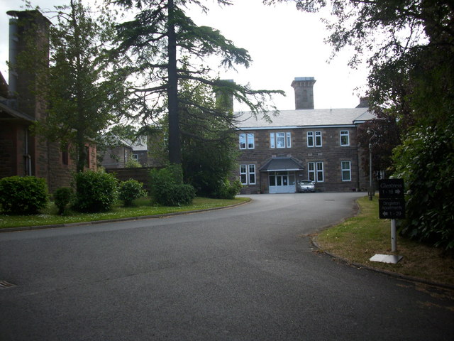
Dingleton Hospital

Dingleton Hospital was a mental health facility in Melrose, Scotland. The former boiler house is a Category B listed building. == History == The hospital...

Melrose, Scottish Borders

Melrose (Scottish Gaelic: Maolros, "bald moor") is a town and civil parish in the Scottish Borders, historically in Roxburghshire. It lies within the Eildon...

St. Mary's School, Melrose

St. Mary's School is a private, co-educational, day and boarding prep school in Melrose, Scotland. As of 2015 there are 190 pupils; 97 boys and 93 girls...

Nearby Amenities

Located within 500m of 55.587235,-2.7425944
Power: tower
Lat/Long: 55.5857128/-2.7465351
Power: tower
Lat/Long: 55.5878945/-2.748082
Power: tower
Lat/Long: 55.5840895/-2.7453842
Power: pole
Lat/Long: 55.58858/-2.7476825
Power: pole
Lat/Long: 55.5863275/-2.7461045
Power: pole
Lat/Long: 55.5841109/-2.7447531
Power: pole
Lat/Long: 55.5835115/-2.7445006
Power: pole
Lat/Long: 55.5899596/-2.7486412
Power: pole
Lat/Long: 55.589226/-2.7481098
Power: pole
Lat/Long: 55.587771/-2.7471333
Power: pole
Lat/Long: 55.5870482/-2.7466181
Power: pole
Lat/Long: 55.584913/-2.745106
Power: pole
Lat/Long: 55.5856374/-2.7456174
The data included in this document is from www.openstreetmap.org. The data is made available under ODbL.

Have you been to Blackcock Cleuch?

Leave your review of Blackcock Cleuch below (or comments, questions and feedback).