Napkin Plantation
Wood, Forest in Roxburghshire
Scotland
Napkin Plantation
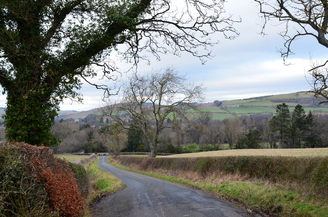
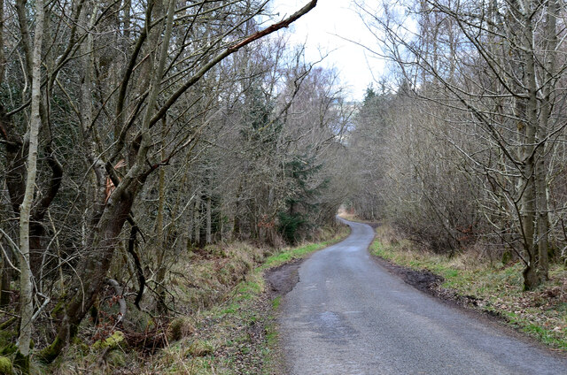
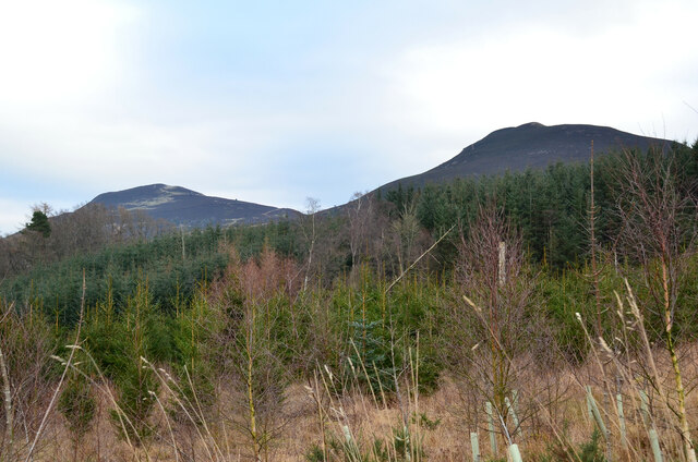
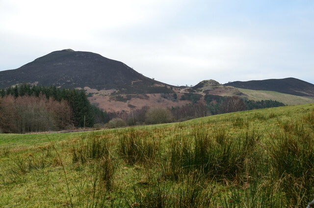
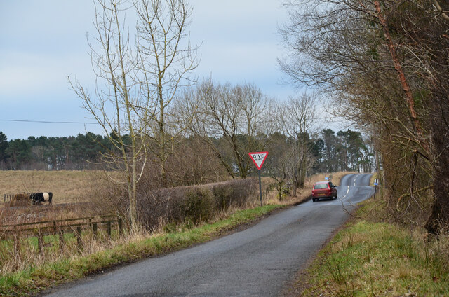
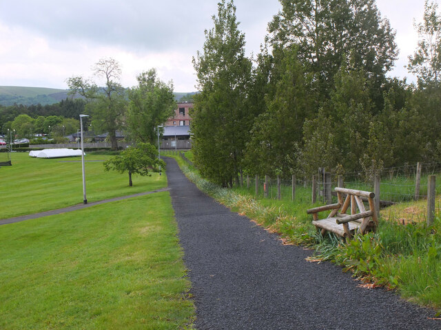
Nestled in the picturesque region of Roxburghshire in Scotland, Napkin Plantation is a sprawling wood and forest that spans over a vast expanse of land. This idyllic plantation is renowned for its natural beauty, making it a popular destination for nature enthusiasts and outdoor enthusiasts alike.
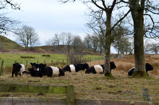
Covering an area of approximately [insert size] hectares, Napkin Plantation is home to a diverse range of indigenous flora and fauna. The woodlands are dominated by an assortment of towering trees, including oak, beech, and ash, creating a dense and enchanting canopy that provides shade and shelter for the various wildlife species that inhabit the area.
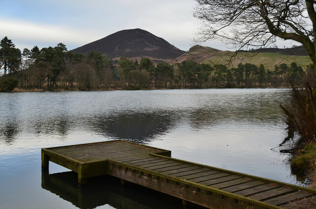
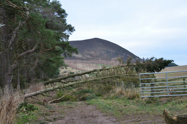
Hiking and walking trails crisscross through the plantation, allowing visitors to immerse themselves in the tranquil surroundings and explore the diverse ecosystems within. The trails are well-maintained and offer breathtaking views of the surrounding countryside, making it a haven for photographers and nature lovers seeking to capture the beauty of the Scottish landscape.
The plantation is also rich in history, with remnants of ancient settlements and structures scattered throughout the grounds. Archaeological excavations have uncovered artifacts dating back centuries, shedding light on the region's past and providing insight into the lives of its former inhabitants.
Napkin Plantation is not only a sanctuary for wildlife and a testament to Scotland's natural heritage, but it also serves as a recreational space for locals and visitors alike. Whether it's a scenic stroll, a picnic amidst the trees, or simply a moment of tranquility in nature, Napkin Plantation offers a serene and unforgettable experience for all who venture into its lush embrace.
If you have any feedback on the listing, please let us know in the comments section below.
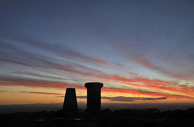
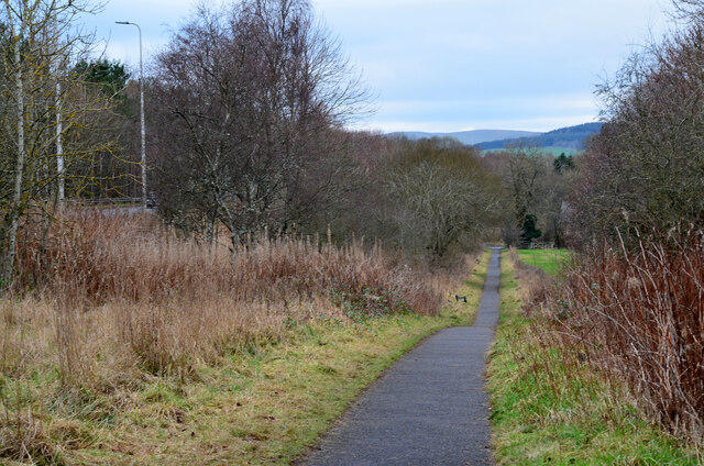
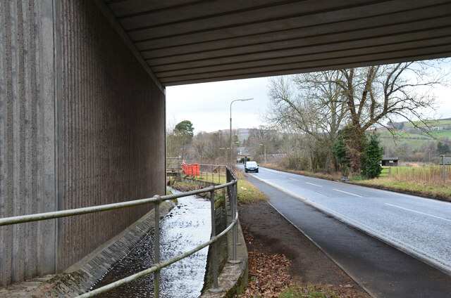
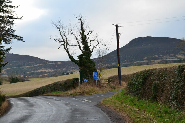
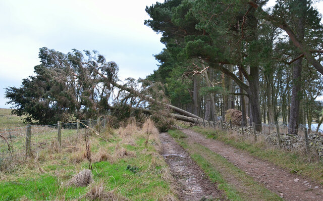
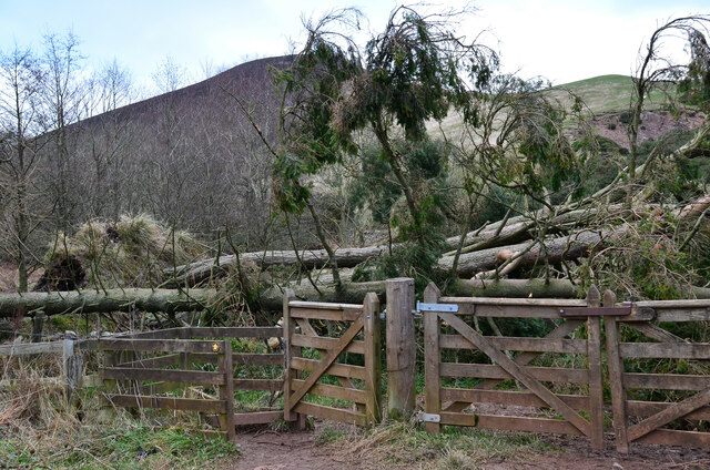
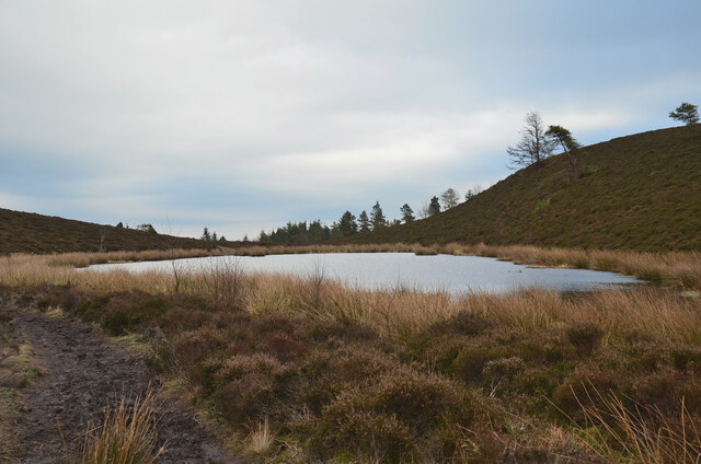
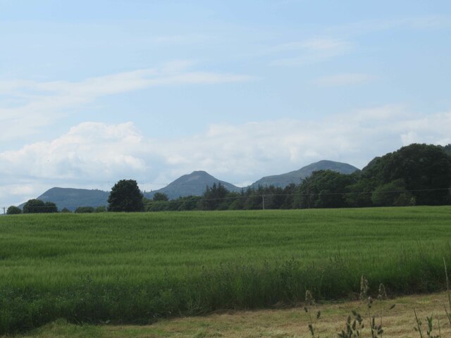
Napkin Plantation Images
Images are sourced within 2km of 55.581803/-2.7419208 or Grid Reference NT5332. Thanks to Geograph Open Source API. All images are credited.
Napkin Plantation is located at Grid Ref: NT5332 (Lat: 55.581803, Lng: -2.7419208)
Unitary Authority: The Scottish Borders
Police Authority: The Lothians and Scottish Borders
What 3 Words
///scream.cheering.smashes. Near Melrose, Scottish Borders
Nearby Locations
Related Wikis
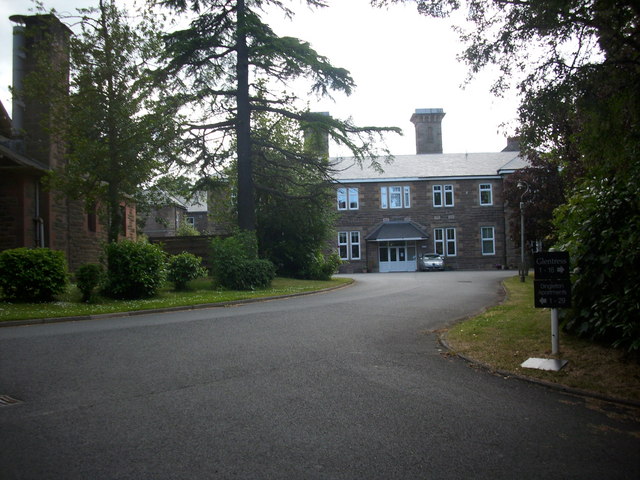
Dingleton Hospital
Dingleton Hospital was a mental health facility in Melrose, Scotland. The former boiler house is a Category B listed building. == History == The hospital...

Eildon Hill
Eildon Hill lies just south of Melrose, Scotland in the Scottish Borders, overlooking the town. The name is usually pluralised into "the Eildons" or "Eildon...

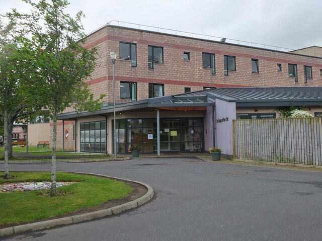
Borders General Hospital
Borders General Hospital (BGH) is a district general hospital on the outskirts of Melrose, Scotland. It is managed by NHS Borders. == History == The hospital...

Melrose, Scottish Borders
Melrose (Scottish Gaelic: Maolros, "bald moor") is a town and civil parish in the Scottish Borders, historically in Roxburghshire. It lies within the Eildon...
Nearby Amenities
Located within 500m of 55.581803,-2.7419208Have you been to Napkin Plantation?
Leave your review of Napkin Plantation below (or comments, questions and feedback).