Kirk Wood

Wood, Forest in Aberdeenshire

Scotland

Kirk Wood

Old School House, Milton of Cushnie Seen over the garden wall.
Old School House, Milton of Cushnie Credit: Stanley Howe

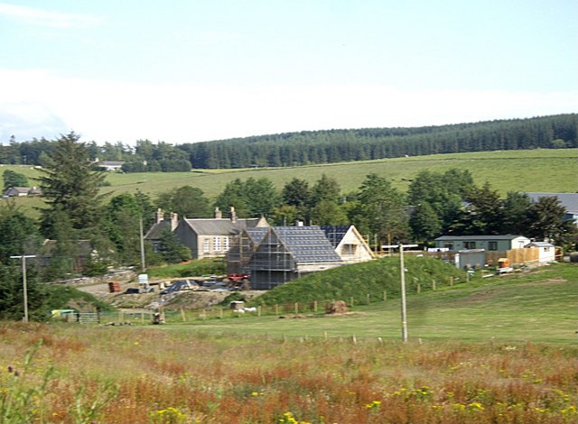
Kirk Wood, located in Aberdeenshire, Scotland, is a remarkable forest that spans an area of approximately 2,000 acres. Situated near the village of Kirkton of Durris, the wood is renowned for its natural beauty, diverse wildlife, and recreational opportunities.

The forest consists primarily of deciduous trees, including oak, birch, and beech, creating a rich and vibrant canopy. This lush vegetation provides a haven for various bird species, such as woodpeckers, owls, and finches, making it a popular destination for birdwatchers and nature enthusiasts.

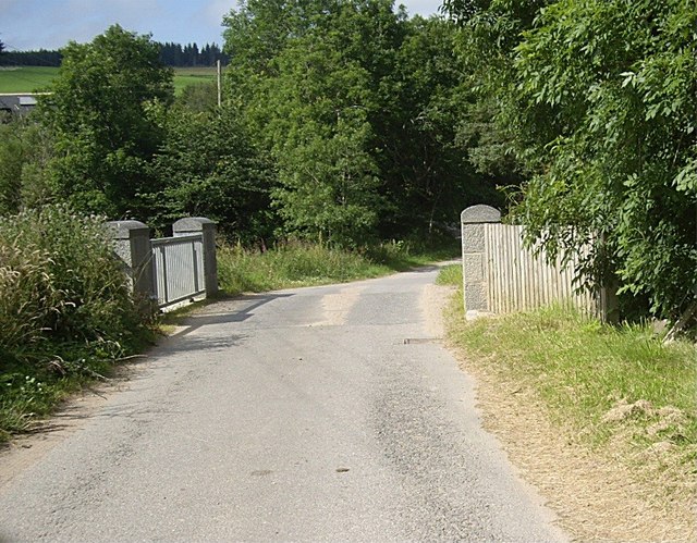
Visitors to Kirk Wood can explore an extensive network of walking trails that wind through the forest, offering stunning views of the surrounding landscape. The paths range in difficulty, accommodating both casual strollers and avid hikers. Additionally, the forest has designated areas for cycling and horse riding, making it a versatile destination for outdoor activities.

For those interested in history, Kirk Wood is home to several archaeological sites, including a stone circle known as "The Nine Stanes." This ancient monument adds an air of mystique to the forest, inviting visitors to imagine its past significance.

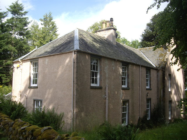
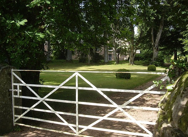
Kirk Wood also boasts modern amenities, including picnic areas and visitor centers, providing a comfortable and accessible experience for all. Whether visitors are seeking a peaceful stroll in nature, an adrenaline-pumping bike ride, or a chance to connect with Scotland's ancient history, Kirk Wood in Aberdeenshire offers something for everyone.

If you have any feedback on the listing, please let us know in the comments section below.
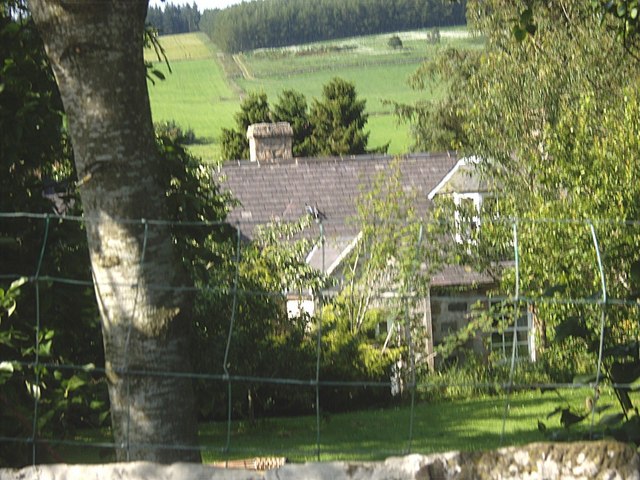
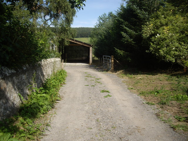
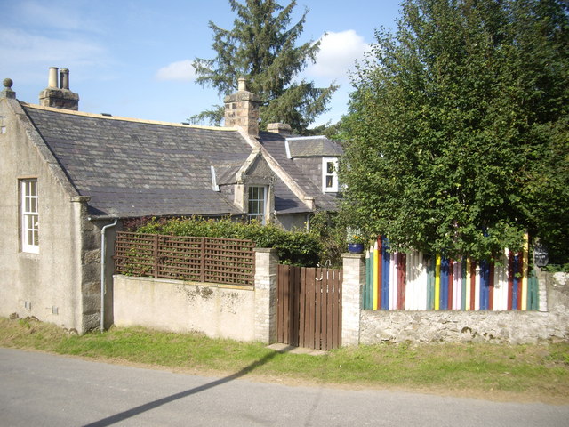
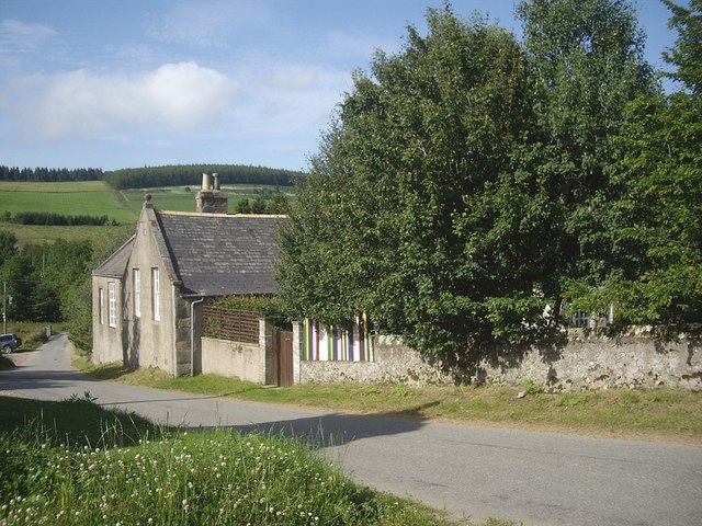
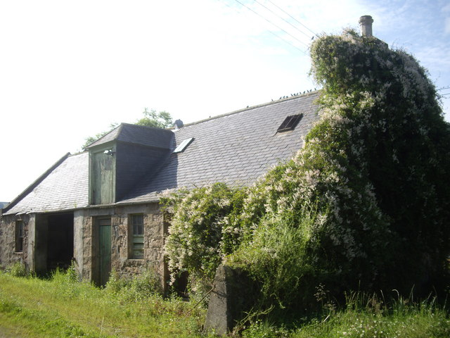
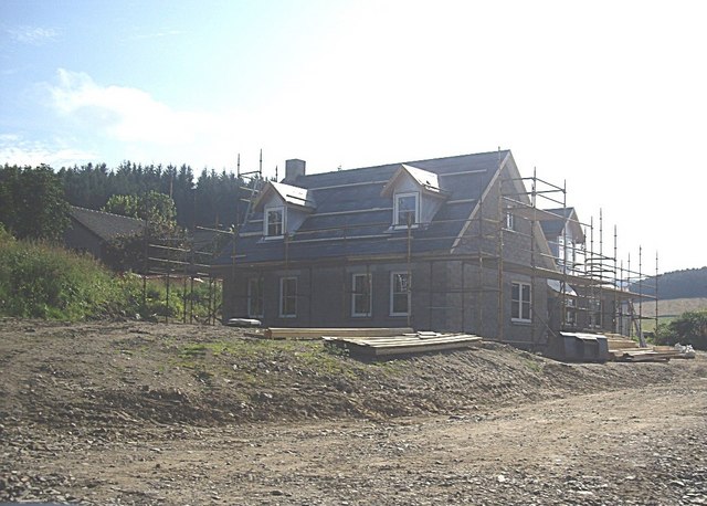
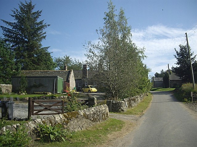
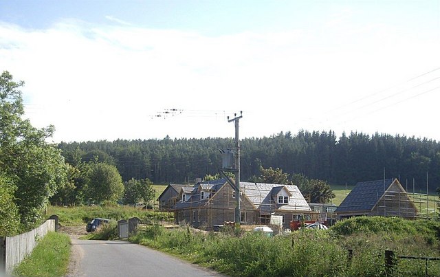
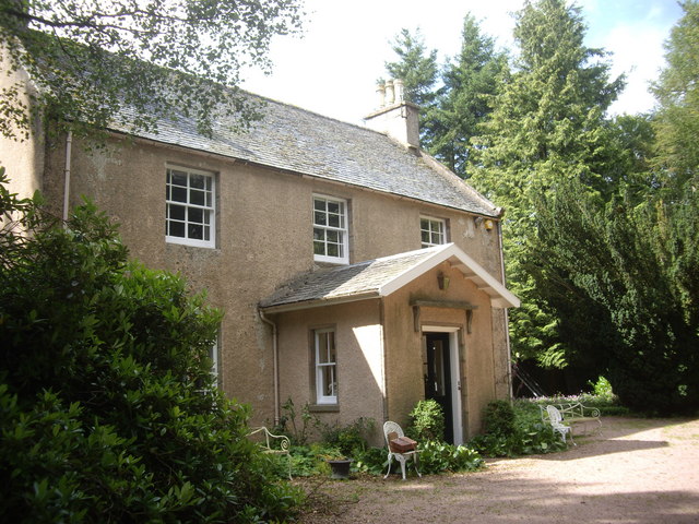
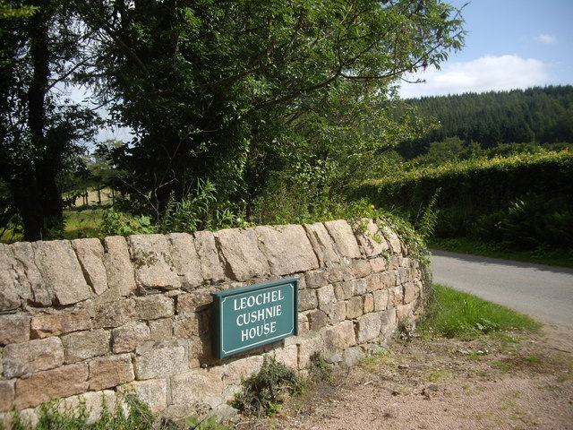
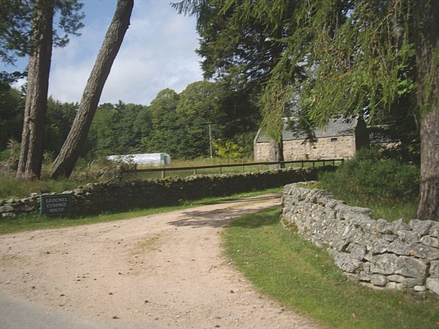
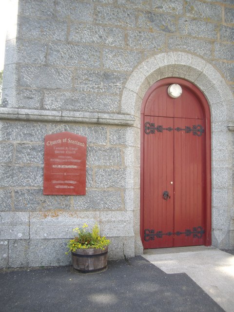
Kirk Wood Images

Images are sourced within 2km of 57.191881/-2.7744563 or Grid Reference NJ5311. Thanks to Geograph Open Source API. All images are credited.

Old School House, Milton of Cushnie Seen over the garden wall.
Old School House, Milton of Cushnie
Seen over the garden wall.
A farm entrance Opposite Mains of Cushnie. Wall of the Old School House garden on the left.
A farm entrance
Opposite Mains of Cushnie. Wall of the Old School House garden on the left.
School House, Milton of Cushnie With its distinctive 'coloured pencil fence'. Note that the name slate at the extreme right has been Anglicised to 'School House' from the vernacular Scots 'Skule Hoose' seen in <a title="https://www.geograph.org.uk/photo/547615" href="https://www.geograph.org.uk/photo/547615">Link</a> of 2007.
School House, Milton of Cushnie
With its distinctive 'coloured pencil fence'. Note that the name slate at the extreme right has been Anglicised to 'School House' from the vernacular Scots 'Skule Hoose' seen in Link of 2007.
Road north through Milton of Cushnie Past the Old School House.
Road north through Milton of Cushnie
Past the Old School House.
Outhouse, Mains of Cushnie The site of a pre-migration gathering of hirundines, opposite the Old School House in Milton of Cushnie.
Outhouse, Mains of Cushnie
The site of a pre-migration gathering of hirundines, opposite the Old School House in Milton of Cushnie.
A new development by Mains of Cushnie (2011) A new house under construction opposite the Old School house in Milton of Cushnie.
A new development by Mains of Cushnie (2011)
A new house under construction opposite the Old School house in Milton of Cushnie.
Vehicular access to Old School House, Milton of Cushnie Mains of Cushnie ahead on right.
Vehicular access to Old School House, Milton of Cushnie
Mains of Cushnie ahead on right.
Road bridge over Cushnie Burn in Milton of Cushnie With a new house being built on the south bank near Mains of Cushnie.
Road bridge over Cushnie Burn in Milton of Cushnie
With a new house being built on the south bank near Mains of Cushnie.
View towards Milton of Cushnie old schoolhouse From the road west of the Milton junction.
View towards Milton of Cushnie old schoolhouse
From the road west of the Milton junction.
Bridge over Cushnie Burn In Milton of Cushnie.
Bridge over Cushnie Burn
In Milton of Cushnie.
Leochel-Cushnie House Formerly Leochel-Cushnie Church manse.
Leochel-Cushnie House
Formerly Leochel-Cushnie Church manse.
Access to the garden of Leochel-Cushnie House Former manse of Leochel-Cushnie Church.
Access to the garden of Leochel-Cushnie House
Former manse of Leochel-Cushnie Church.
Leochel-Cushnie House Former manse of Leochel-Cushnie Church.
Leochel-Cushnie House
Former manse of Leochel-Cushnie Church.
Name plaque: Leochel-Cushnie House
Access to steading, Leochel-Cushnie House
Cushnie & Tough Parish: Notice board A newly adopted name for Leochel-Cushnie.
Cushnie & Tough Parish: Notice board
A newly adopted name for Leochel-Cushnie.
Entrance to Cushnie & Tough Parish Church
A marble memorial plaque in Leochel-Cushnie graveyard To Surgeon-Major Peter Shepherd (a locally born soldier) who was killed aged 37 whilst tending the wounded at Isandlwane during the Zulu War in 1875. See <span class="nowrap"><a title="http://en.wikipedia.org/wiki/Peter_Shepherd_(British_Army_officer)" rel="nofollow ugc noopener" href="http://en.wikipedia.org/wiki/Peter_Shepherd_(British_Army_officer)">Link</a><img style="margin-left:2px;" alt="External link" title="External link - shift click to open in new window" src="https://s1.geograph.org.uk/img/external.png" width="10" height="10"/></span>
A marble memorial plaque in Leochel-Cushnie graveyard
To Surgeon-Major Peter Shepherd (a locally born soldier) who was killed aged 37 whilst tending the wounded at Isandlwane during the Zulu War in 1875. See LinkExternal link
Show me another place!

Kirk Wood is located at Grid Ref: NJ5311 (Lat: 57.191881, Lng: -2.7744563)

Unitary Authority: Aberdeenshire

Police Authority: North East

What 3 Words

///corrosive.woods.pickle. Near Alford, Aberdeenshire

Nearby Locations

Kirk Hill Kirk Wood

Related Wikis

Cushnie Castle

Cushnie Castle was a 16th-century tower house, about 6 miles (9.7 km) south west of Alford, Aberdeenshire, Scotland, near Cushnie Burn, in the Glen of...

Asloun Castle

Asloun Castle is a castle, formerly Z-plan, dating from the 16th century, 2 miles (3.2 km) south-west of Alford, in Aberdeenshire, Scotland, of which only...

Marr, Scotland

Marr (Scottish Gaelic: Màrr) is one of six committee areas in Aberdeenshire, Scotland. It has a population of 34,038 (2001 Census). Someone from Marr...
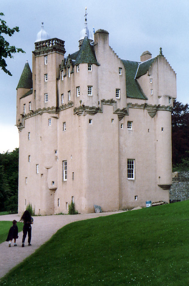
Craigievar Castle

Craigievar Castle is a pinkish harled castle or fortified country house 6 miles (9.7 km) south of Alford, Aberdeenshire, Scotland. It was the seat of Clan...

Nearby Amenities

Located within 500m of 57.191881,-2.7744563
Power: pole
Lat/Long: 57.1896018/-2.7679125
Power: pole
Lat/Long: 57.1902343/-2.7684424
Power: pole
Lat/Long: 57.1908527/-2.7689702
Power: pole
Lat/Long: 57.1961895/-2.7728212
The data included in this document is from www.openstreetmap.org. The data is made available under ODbL.

Have you been to Kirk Wood?

Leave your review of Kirk Wood below (or comments, questions and feedback).