Kirk Hill

Hill, Mountain in Aberdeenshire

Scotland

Kirk Hill

Old School House, Milton of Cushnie Seen over the garden wall.
Old School House, Milton of Cushnie Credit: Stanley Howe

Kirk Hill, located in Aberdeenshire, Scotland, is a prominent hill standing at an elevation of 362 meters (1,188 feet). Situated near the village of Kirkton of Skene, this natural landmark offers breathtaking views of the surrounding countryside and beyond. Its location within the Aberdeenshire region makes it a popular destination for outdoor enthusiasts and hikers.

The hill is primarily composed of granite, which gives it a rugged and distinctive appearance. Its slopes are covered in heather and grasses, providing a rich habitat for various plant and animal species. The hill's diverse flora and fauna make it an important site for nature conservation.

At the summit of Kirk Hill, visitors can enjoy panoramic views of the Aberdeenshire countryside, including the nearby towns of Westhill and Skene. On a clear day, it is said that one can even catch a glimpse of the North Sea in the distance. The hill's strategic location also offers excellent opportunities for landscape photography.

To reach the summit, several well-marked trails are available for hikers of different skill levels. The routes vary in length and difficulty, ensuring there is an option suitable for everyone. Along the way, walkers may encounter various wildlife species, such as red deer, rabbits, and a variety of bird species.

Kirk Hill is not only a place of natural beauty but also holds historical significance. The name "Kirk" implies a connection to a church, suggesting there may have been a religious site or settlement on the hill in the past. While the exact history remains unclear, the hill's intriguing past adds to its allure for visitors.

If you have any feedback on the listing, please let us know in the comments section below.
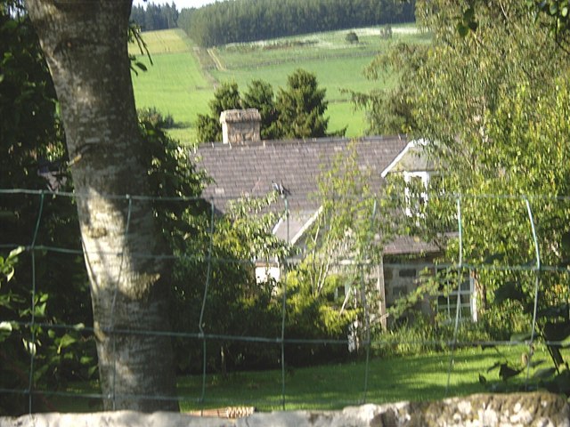
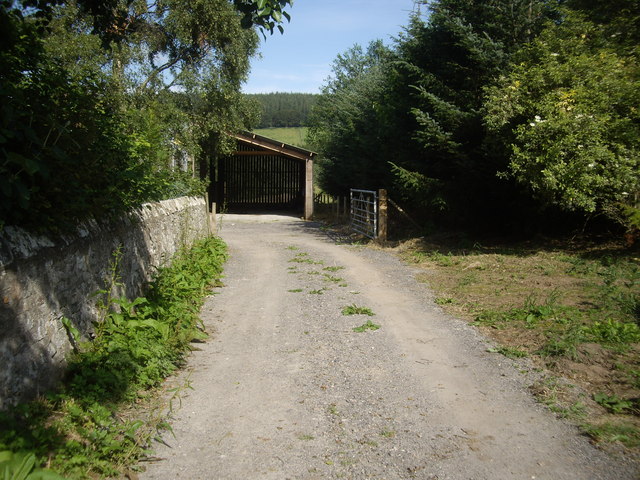
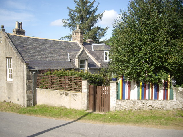
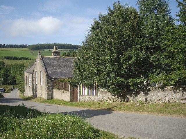
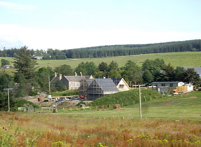
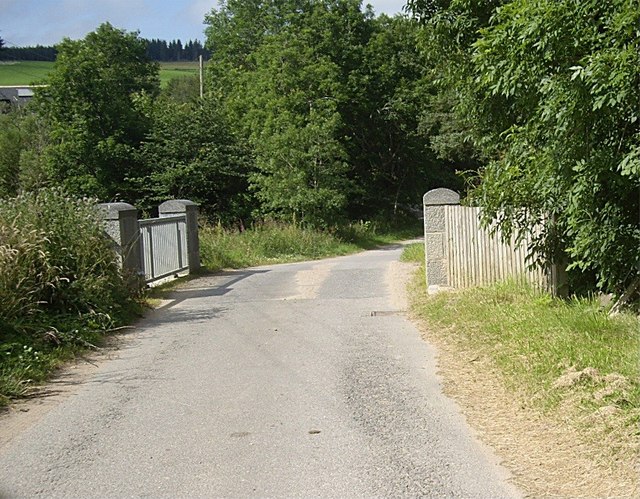
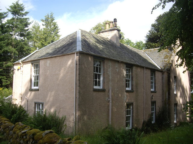
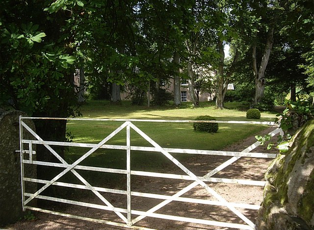
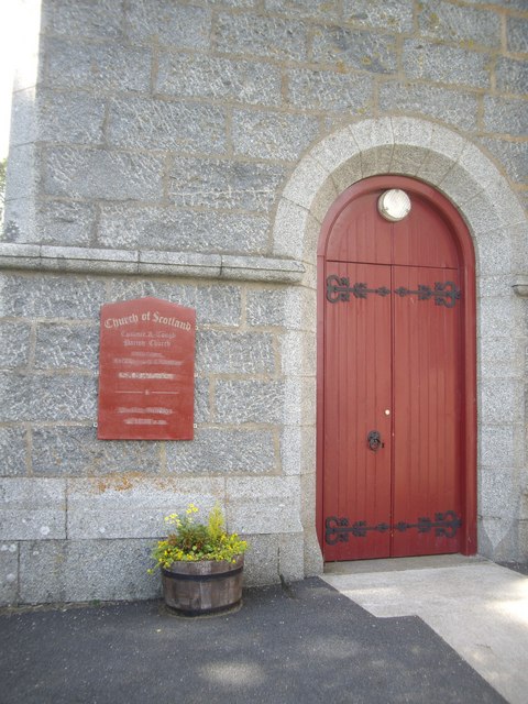
Kirk Hill Images

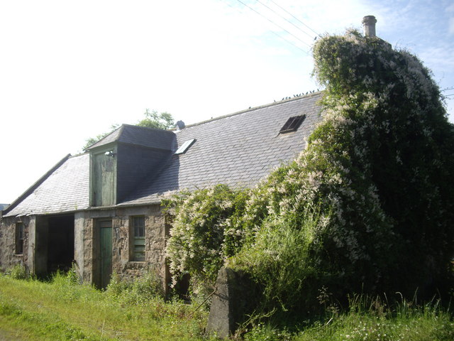
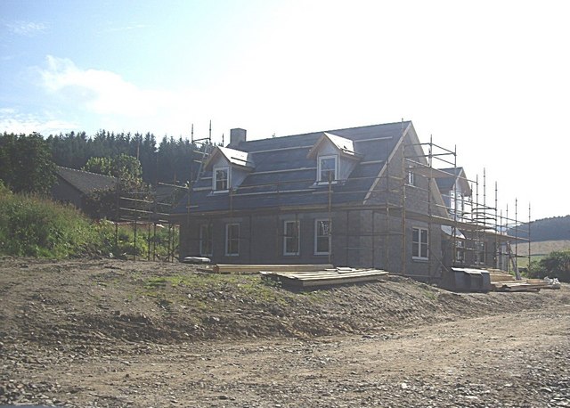
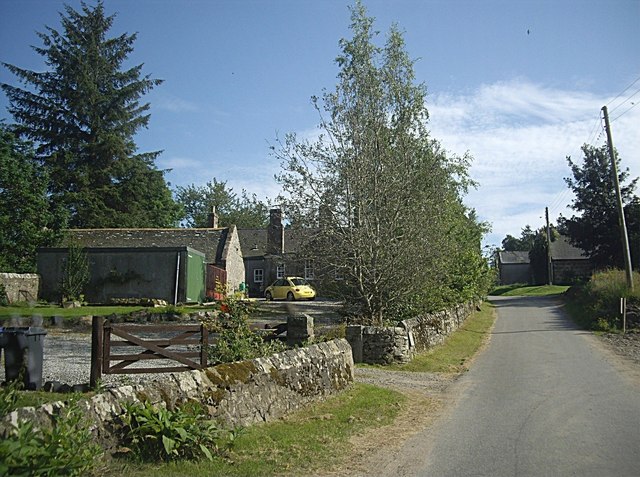
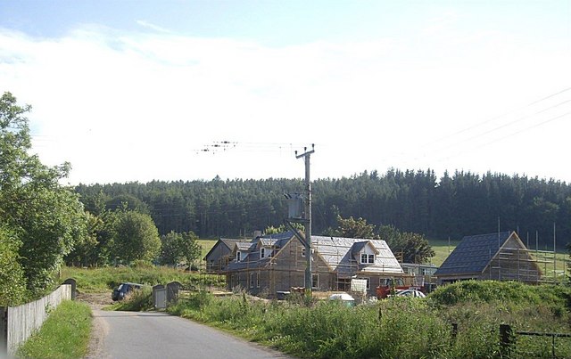
Images are sourced within 2km of 57.191032/-2.7736609 or Grid Reference NJ5311. Thanks to Geograph Open Source API. All images are credited.

Old School House, Milton of Cushnie Seen over the garden wall.
Old School House, Milton of Cushnie
Seen over the garden wall.
A farm entrance Opposite Mains of Cushnie. Wall of the Old School House garden on the left.
A farm entrance
Opposite Mains of Cushnie. Wall of the Old School House garden on the left.
School House, Milton of Cushnie With its distinctive 'coloured pencil fence'. Note that the name slate at the extreme right has been Anglicised to 'School House' from the vernacular Scots 'Skule Hoose' seen in <a title="https://www.geograph.org.uk/photo/547615" href="https://www.geograph.org.uk/photo/547615">Link</a> of 2007.
School House, Milton of Cushnie
With its distinctive 'coloured pencil fence'. Note that the name slate at the extreme right has been Anglicised to 'School House' from the vernacular Scots 'Skule Hoose' seen in Link of 2007.
Road north through Milton of Cushnie Past the Old School House.
Road north through Milton of Cushnie
Past the Old School House.
Outhouse, Mains of Cushnie The site of a pre-migration gathering of hirundines, opposite the Old School House in Milton of Cushnie.
Outhouse, Mains of Cushnie
The site of a pre-migration gathering of hirundines, opposite the Old School House in Milton of Cushnie.
A new development by Mains of Cushnie (2011) A new house under construction opposite the Old School house in Milton of Cushnie.
A new development by Mains of Cushnie (2011)
A new house under construction opposite the Old School house in Milton of Cushnie.
Vehicular access to Old School House, Milton of Cushnie Mains of Cushnie ahead on right.
Vehicular access to Old School House, Milton of Cushnie
Mains of Cushnie ahead on right.
Road bridge over Cushnie Burn in Milton of Cushnie With a new house being built on the south bank near Mains of Cushnie.
Road bridge over Cushnie Burn in Milton of Cushnie
With a new house being built on the south bank near Mains of Cushnie.
View towards Milton of Cushnie old schoolhouse From the road west of the Milton junction.
View towards Milton of Cushnie old schoolhouse
From the road west of the Milton junction.
Bridge over Cushnie Burn In Milton of Cushnie.
Bridge over Cushnie Burn
In Milton of Cushnie.
Leochel-Cushnie House Formerly Leochel-Cushnie Church manse.
Leochel-Cushnie House
Formerly Leochel-Cushnie Church manse.
Access to the garden of Leochel-Cushnie House Former manse of Leochel-Cushnie Church.
Access to the garden of Leochel-Cushnie House
Former manse of Leochel-Cushnie Church.
Leochel-Cushnie House Former manse of Leochel-Cushnie Church.
Leochel-Cushnie House
Former manse of Leochel-Cushnie Church.
Name plaque: Leochel-Cushnie House
Access to steading, Leochel-Cushnie House
Cushnie & Tough Parish: Notice board A newly adopted name for Leochel-Cushnie.
Cushnie & Tough Parish: Notice board
A newly adopted name for Leochel-Cushnie.
Entrance to Cushnie & Tough Parish Church
A marble memorial plaque in Leochel-Cushnie graveyard To Surgeon-Major Peter Shepherd (a locally born soldier) who was killed aged 37 whilst tending the wounded at Isandlwane during the Zulu War in 1875. See <span class="nowrap"><a title="http://en.wikipedia.org/wiki/Peter_Shepherd_(British_Army_officer)" rel="nofollow ugc noopener" href="http://en.wikipedia.org/wiki/Peter_Shepherd_(British_Army_officer)">Link</a><img style="margin-left:2px;" alt="External link" title="External link - shift click to open in new window" src="https://s1.geograph.org.uk/img/external.png" width="10" height="10"/></span>
A marble memorial plaque in Leochel-Cushnie graveyard
To Surgeon-Major Peter Shepherd (a locally born soldier) who was killed aged 37 whilst tending the wounded at Isandlwane during the Zulu War in 1875. See LinkExternal link
Show me another place!

Kirk Hill is located at Grid Ref: NJ5311 (Lat: 57.191032, Lng: -2.7736609)

Unitary Authority: Aberdeenshire

Police Authority: North East

What 3 Words

///onto.unframed.newsprint. Near Alford, Aberdeenshire

Nearby Locations

Kirk Hill Kirk Wood

Related Wikis

Cushnie Castle

Cushnie Castle was a 16th-century tower house, about 6 miles (9.7 km) south west of Alford, Aberdeenshire, Scotland, near Cushnie Burn, in the Glen of...

Asloun Castle

Asloun Castle is a castle, formerly Z-plan, dating from the 16th century, 2 miles (3.2 km) south-west of Alford, in Aberdeenshire, Scotland, of which only...
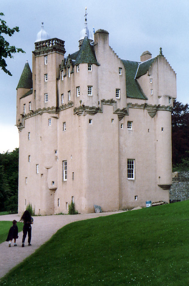
Craigievar Castle

Craigievar Castle is a pinkish harled castle or fortified country house 6 miles (9.7 km) south of Alford, Aberdeenshire, Scotland. It was the seat of Clan...

Marr, Scotland

Marr (Scottish Gaelic: Màrr) is one of six committee areas in Aberdeenshire, Scotland. It has a population of 34,038 (2001 Census). Someone from Marr...

Nearby Amenities

Located within 500m of 57.191032,-2.7736609
Power: pole
Lat/Long: 57.1889661/-2.7673688
Power: pole
Lat/Long: 57.1896018/-2.7679125
Power: pole
Lat/Long: 57.1902343/-2.7684424
Power: pole
Lat/Long: 57.1908527/-2.7689702
The data included in this document is from www.openstreetmap.org. The data is made available under ODbL.

Have you been to Kirk Hill?

Leave your review of Kirk Hill below (or comments, questions and feedback).