Blacksike Plantations

Wood, Forest in Roxburghshire

Scotland

Blacksike Plantations

A logging track meets the trackbed of the former Waverley Route This image is taken with an aspect looking back along the former Waverley Route; a logging track from the nearby minor road joins from the left.

This photograph was taken during the Coronavirus (COVID-19) pandemic of 2020/21/22.
A logging track meets the trackbed of the former Waverley Route Credit: James T M Towill

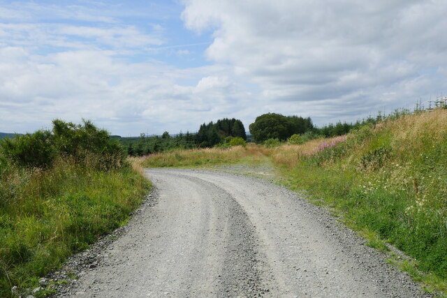
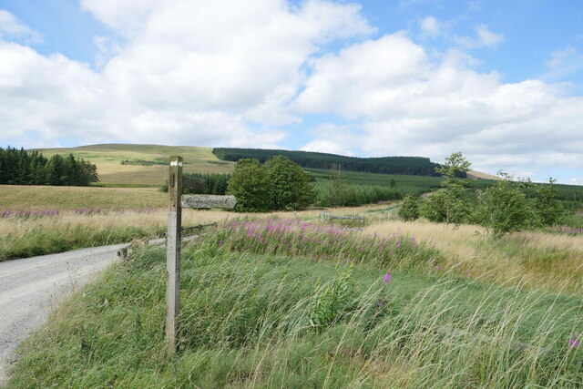
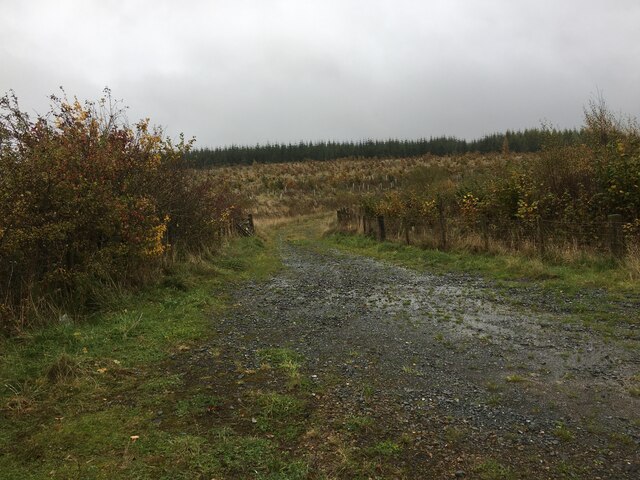
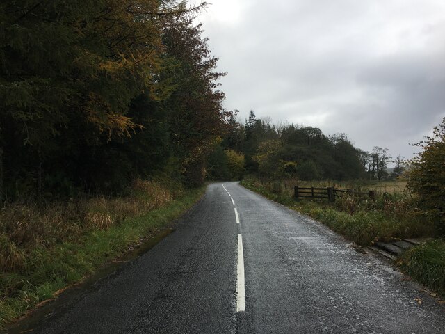
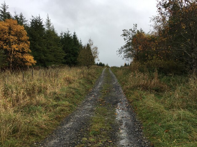
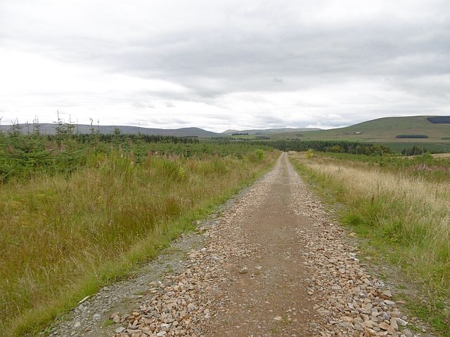
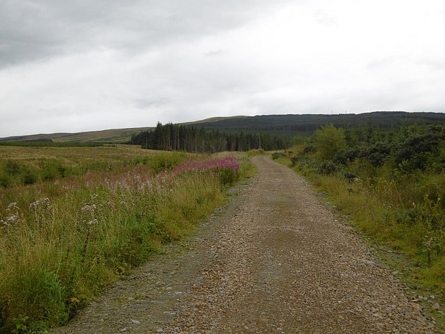
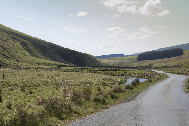
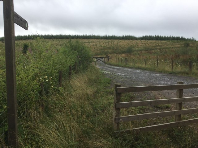
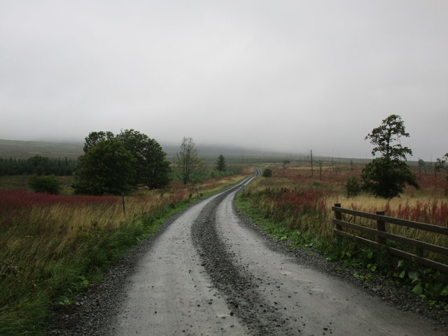
Blacksike Plantations, located in Roxburghshire, Scotland, is a vast woodland area covering several hectares. The plantations are primarily known for their dense forests and diverse range of tree species. The site is well-maintained and managed by a team of dedicated professionals who ensure its preservation and ecological balance.

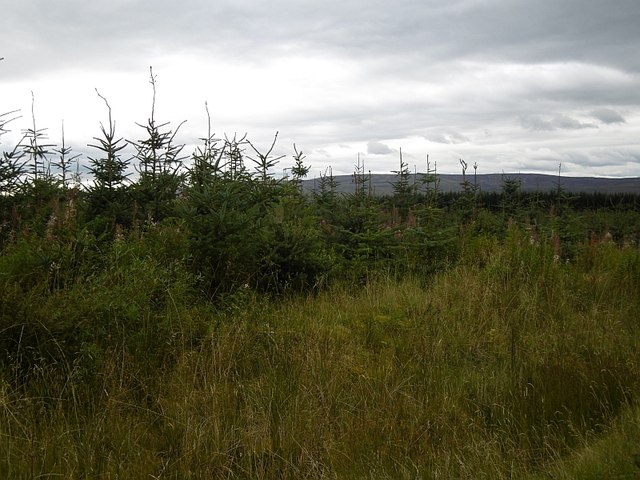
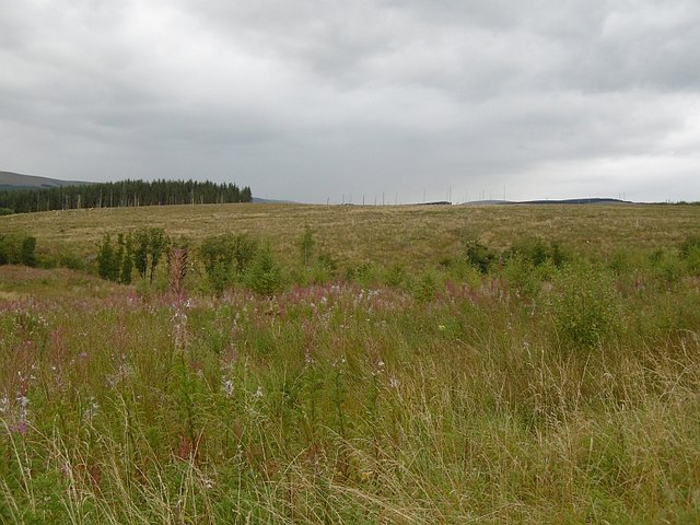
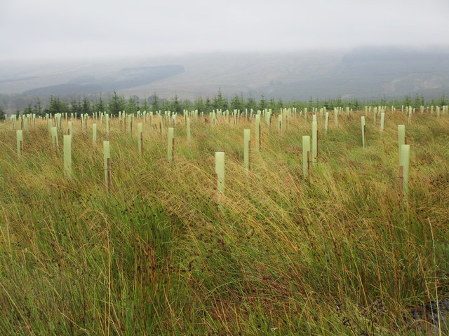
The forest is home to a variety of tree species, including conifers such as Scots pine, Douglas fir, and spruce, as well as broadleaf trees like oak, beech, and birch. This diverse mix of trees provides a vibrant and picturesque landscape throughout the year, attracting nature enthusiasts and outdoor lovers.

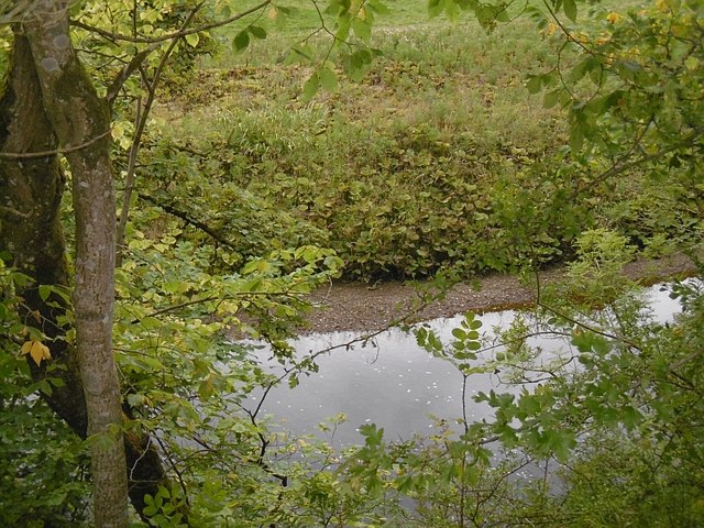
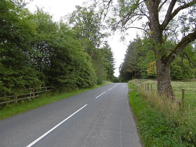
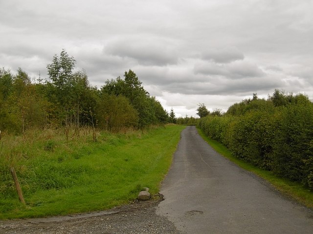
The woodlands of Blacksike Plantations offer a tranquil and peaceful environment, making it an ideal place for walking, hiking, and exploring nature. There are well-marked trails and paths that allow visitors to explore the plantation and observe the native flora and fauna. The area is also popular for birdwatching, with several species of birds making their nests in the forest.

Blacksike Plantations is committed to sustainable forestry practices and actively participates in conservation efforts. The management team ensures responsible harvesting and replanting of trees to maintain the ecological balance of the plantation. This dedication to sustainability has earned Blacksike Plantations recognition as a model for sustainable forestry practices in the region.

Overall, Blacksike Plantations in Roxburghshire offers a unique opportunity to experience the beauty of a well-preserved forest ecosystem. Its diverse tree species, well-maintained trails, and commitment to sustainability make it a haven for nature lovers and a valuable asset to the local community.

If you have any feedback on the listing, please let us know in the comments section below.

Blacksike Plantations Images

Images are sourced within 2km of 55.228777/-2.7358528 or Grid Reference NY5392. Thanks to Geograph Open Source API. All images are credited.

A logging track meets the trackbed of the former Waverley Route This image is taken with an aspect looking back along the former Waverley Route; a logging track from the nearby minor road joins from the left.

This photograph was taken during the Coronavirus (COVID-19) pandemic of 2020/21/22.
A logging track meets the trackbed of the former Waverley Route
This image is taken with an aspect looking back along the former Waverley Route; a logging track from the nearby minor road joins from the left. This photograph was taken during the Coronavirus (COVID-19) pandemic of 2020/21/22.
A fingerpost near Taylor's Cleuch This track affords access to the trackbed of the former Waverley Route near Steele Road.

This photograph was taken during the Coronavirus (COVID-19) pandemic of 2020/21/22.
A fingerpost near Taylor's Cleuch
This track affords access to the trackbed of the former Waverley Route near Steele Road. This photograph was taken during the Coronavirus (COVID-19) pandemic of 2020/21/22.
Forestry road near Newcastleton Forest
B6357 towards Newcastleton
Forestry road near Kirndean
Larriston Fells road A recently resurfaced road serves a privately managed part of Newcastleton Forest and the police mast on Larriston Fells.
Larriston Fells road
A recently resurfaced road serves a privately managed part of Newcastleton Forest and the police mast on Larriston Fells.
Young trees, Newcastleton Forest This <a href="https://www.geograph.org.uk/photo/453172">NY5391 : Forest Road</a> block a few years on.
Young trees, Newcastleton Forest
This NY5391 : Forest Road block a few years on.
Felled and replanted area Newcastleton Forest near Mountain View.
Felled and replanted area
Newcastleton Forest near Mountain View.
Forest road, Newcastleton The road continues to a police radio mast on Larriston Fells.
Forest road, Newcastleton
The road continues to a police radio mast on Larriston Fells.
Liddel Water Downstream of Dinlabyre Bridge.
Liddel Water
Downstream of Dinlabyre Bridge.
B6357, Liddesdale Passing the outlet of the road to the police mast on Larriston Fells.
B6357, Liddesdale
Passing the outlet of the road to the police mast on Larriston Fells.
Road to Kirndean Now running through a young woodland.
Road to Kirndean
Now running through a young woodland.
A very empty looking valley This road is the B6357 hardly a B class road as it is really a single track road with passing places. The valley is used for sheep and cattle grazing.
A very empty looking valley
This road is the B6357 hardly a B class road as it is really a single track road with passing places. The valley is used for sheep and cattle grazing.
Forest road end Signposted for the border at Bloody Bush, reached after a crossing of the Larriston Fells.
Forest road end
Signposted for the border at Bloody Bush, reached after a crossing of the Larriston Fells.
Young woodland, Hewisbridge Between road and river in Liddesdale. The trees are spaced, so there is plenty of room for the flower display.
Young woodland, Hewisbridge
Between road and river in Liddesdale. The trees are spaced, so there is plenty of room for the flower display.
Steele Road
Steele Road
New plantation near Steele Road
Track into clear-felled woodland A bleak scene on a wet day. Dominated by rosebay willowherb.
Track into clear-felled woodland
A bleak scene on a wet day. Dominated by rosebay willowherb.
Show me another place!

Blacksike Plantations is located at Grid Ref: NY5392 (Lat: 55.228777, Lng: -2.7358528)

Unitary Authority: The Scottish Borders

Police Authority: The Lothians and Scottish Borders

What 3 Words

///airbase.spider.wizard. Near Teviothead, Scottish Borders

Related Wikis

Steele Road railway station

Steele Road railway station served the hamlet of Steele Road, Scottish Borders, Scotland, from 1862 to 1969 on the Border Union Railway. == History... ==

Dinlabyre

Dinlabyre is a village on the B6357 in Liddesdale, on the edge of the Newcastleton Forest, close to Castleton, in the Scottish Borders area of Scotland...

Hermitage Water

The Hermitage Water is a river in Liddesdale, in the Scottish Borders area of Scotland. Among its many feeder burns are Braidley Burn, Dinley Burn, Gorrenberry...

Liddel Castle

Liddel Castle is a ruined castle in Liddesdale, by the Liddel Water, near Castleton in the Scottish Borders area of Scotland, in the former county of Roxburghshire...

Nearby Amenities

Located within 500m of 55.228777,-2.7358528
Hewisbridge
Place: isolated_dwelling
Lat/Long: 55.2314094/-2.7305579
Power: pole
Lat/Long: 55.2277343/-2.7434882
Power: pole
Lat/Long: 55.2282542/-2.7425612
Power: pole
Lat/Long: 55.2287843/-2.7416085
Power: pole
Lat/Long: 55.2292938/-2.7406609
Power: pole
Lat/Long: 55.2297902/-2.7397597
Power: pole
Lat/Long: 55.230332/-2.7387683
Power: pole
Lat/Long: 55.2308445/-2.737831
Power: pole
Lat/Long: 55.231357/-2.7368835
Power: pole
Lat/Long: 55.2318724/-2.735941
Power: pole
Lat/Long: 55.2324172/-2.7349703
Power: pole
Lat/Long: 55.2329208/-2.7340536
Power: pole
Lat/Long: 55.2323129/-2.7318082
Power: pole
Lat/Long: 55.2317535/-2.7308787
The data included in this document is from www.openstreetmap.org. The data is made available under ODbL.

Have you been to Blacksike Plantations?

Leave your review of Blacksike Plantations below (or comments, questions and feedback).