Aylehaugh Plantation

Wood, Forest in Roxburghshire

Scotland

Aylehaugh Plantation

A logging track meets the trackbed of the former Waverley Route This image is taken with an aspect looking back along the former Waverley Route; a logging track from the nearby minor road joins from the left.

This photograph was taken during the Coronavirus (COVID-19) pandemic of 2020/21/22.
A logging track meets the trackbed of the former Waverley Route Credit: James T M Towill

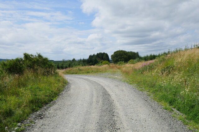
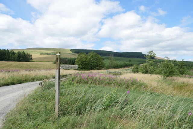
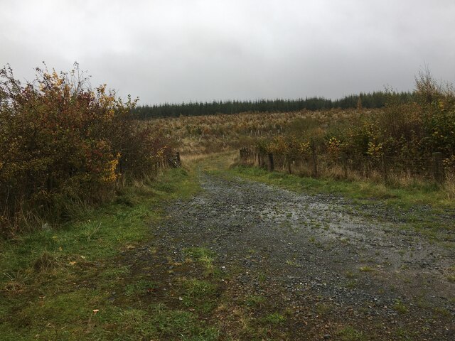
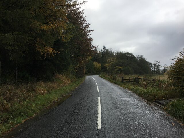
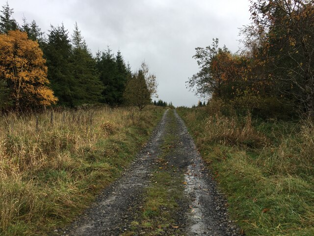
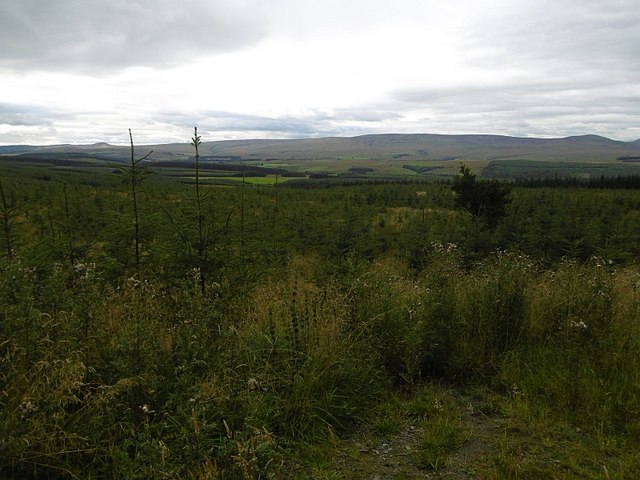
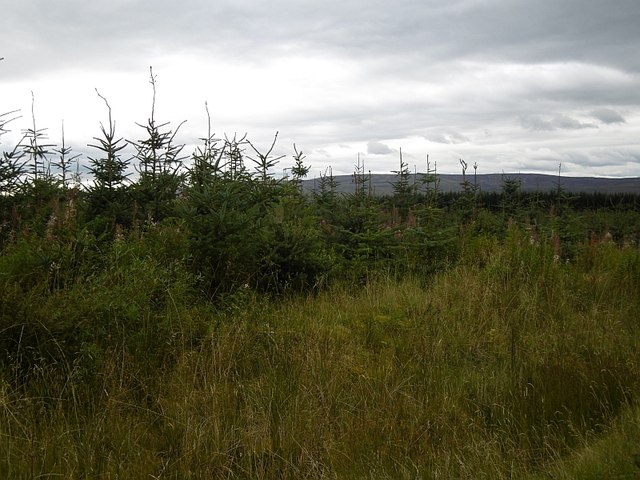
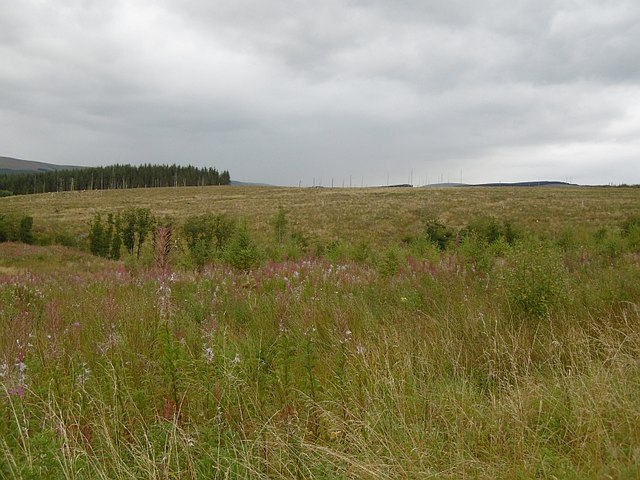
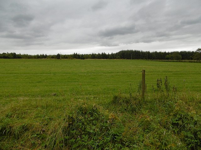
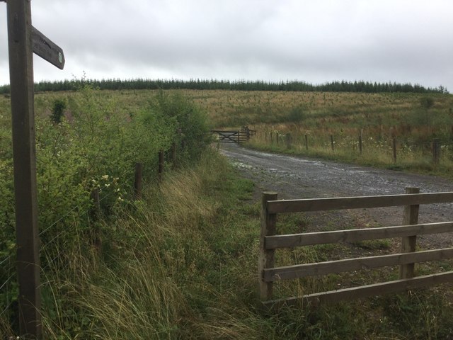
Aylehaugh Plantation is a sprawling woodland located in Roxburghshire, Scotland. Covering an area of approximately 500 acres, it is situated near the village of Eckford. The plantation is predominantly made up of various species of trees, creating a diverse and vibrant forest ecosystem.

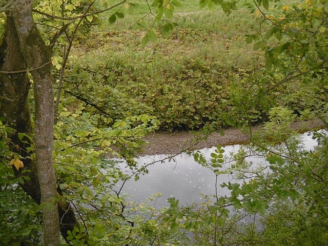
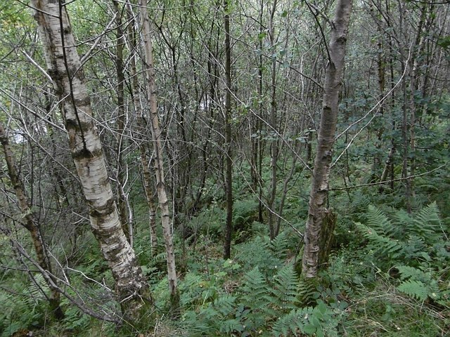
The woodlands of Aylehaugh Plantation are home to a wide range of flora and fauna. The tree species found here include oak, beech, birch, and conifers such as pine and spruce. These trees provide habitats for a myriad of wildlife, including birds such as woodpeckers, owls, and various songbirds. Mammals like deer, foxes, and squirrels also inhabit the plantation.

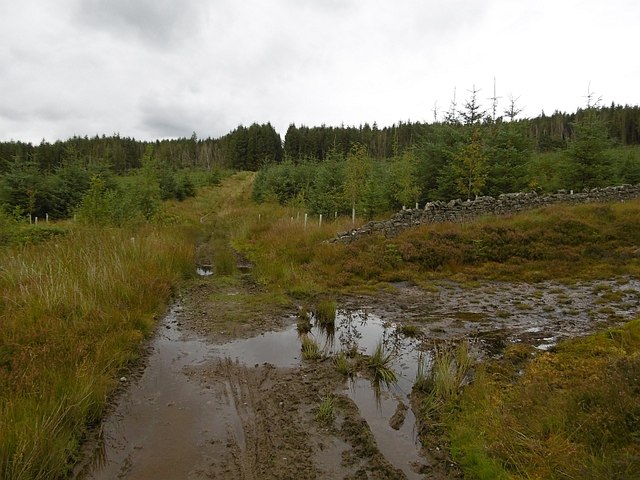
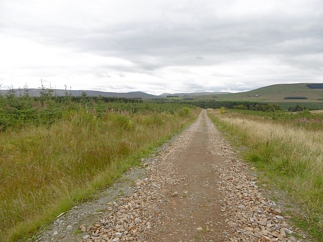
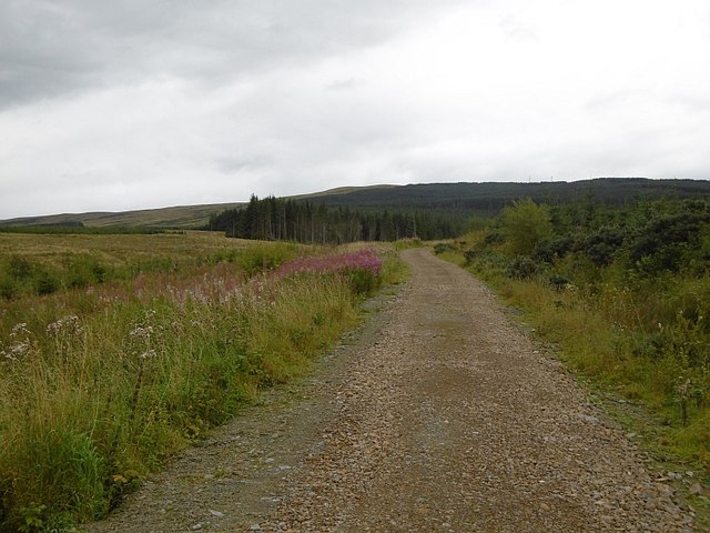
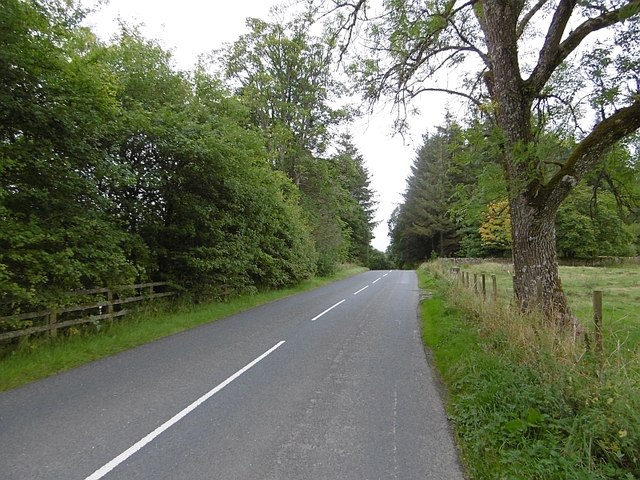
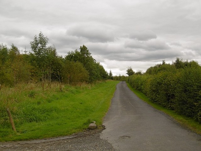
The plantation offers a picturesque setting, with winding paths and trails that weave through the dense woodland. These paths provide opportunities for visitors to explore and immerse themselves in nature, making it a popular destination for hikers, nature lovers, and photographers alike.

Aylehaugh Plantation also serves as an important site for conservation and sustainable forestry practices. The management of the woodland focuses on maintaining a healthy ecosystem while also ensuring a sustainable timber supply. As such, selective tree felling takes place periodically, allowing for the growth and regeneration of new trees.

Overall, Aylehaugh Plantation in Roxburghshire is a captivating woodlands that offers a tranquil and enriching experience for visitors, showcasing the beauty and importance of Scotland's natural landscapes.

If you have any feedback on the listing, please let us know in the comments section below.

Aylehaugh Plantation Images

Images are sourced within 2km of 55.223851/-2.7347558 or Grid Reference NY5392. Thanks to Geograph Open Source API. All images are credited.

A logging track meets the trackbed of the former Waverley Route This image is taken with an aspect looking back along the former Waverley Route; a logging track from the nearby minor road joins from the left.

This photograph was taken during the Coronavirus (COVID-19) pandemic of 2020/21/22.
A logging track meets the trackbed of the former Waverley Route
This image is taken with an aspect looking back along the former Waverley Route; a logging track from the nearby minor road joins from the left. This photograph was taken during the Coronavirus (COVID-19) pandemic of 2020/21/22.
A fingerpost near Taylor's Cleuch This track affords access to the trackbed of the former Waverley Route near Steele Road.

This photograph was taken during the Coronavirus (COVID-19) pandemic of 2020/21/22.
A fingerpost near Taylor's Cleuch
This track affords access to the trackbed of the former Waverley Route near Steele Road. This photograph was taken during the Coronavirus (COVID-19) pandemic of 2020/21/22.
Forestry road near Newcastleton Forest
B6357 towards Newcastleton
Forestry road near Kirndean
Old dyke, Newcastleton Forest The boundary of the Forestry Commission owned bit of Newcastleton according to the purple rubbish that ruins Ordnance Survey maps. A path along a ride joins two road ends with another road that runs up to the police mast on Larriston Fells. That road is by the older trees in the background.
Old dyke, Newcastleton Forest
The boundary of the Forestry Commission owned bit of Newcastleton according to the purple rubbish that ruins Ordnance Survey maps. A path along a ride joins two road ends with another road that runs up to the police mast on Larriston Fells. That road is by the older trees in the background.
Newcastleton Forest A replanted block beside the road up to the police radio mast on Larriston Fells.
Newcastleton Forest
A replanted block beside the road up to the police radio mast on Larriston Fells.
Windthrow, Newcastleton Forest
Larriston Fells road A recently resurfaced road serves a privately managed part of Newcastleton Forest and the police mast on Larriston Fells.
Larriston Fells road
A recently resurfaced road serves a privately managed part of Newcastleton Forest and the police mast on Larriston Fells.
Young trees, Newcastleton Forest This <a href="https://www.geograph.org.uk/photo/453172">NY5391 : Forest Road</a> block a few years on.
Young trees, Newcastleton Forest
This NY5391 : Forest Road block a few years on.
Felled and replanted area Newcastleton Forest near Mountain View.
Felled and replanted area
Newcastleton Forest near Mountain View.
Forest road, Newcastleton The road continues to a police radio mast on Larriston Fells.
Forest road, Newcastleton
The road continues to a police radio mast on Larriston Fells.
Liddel Water Downstream of Dinlabyre Bridge.
Liddel Water
Downstream of Dinlabyre Bridge.
B6357, Liddesdale Passing the outlet of the road to the police mast on Larriston Fells.
B6357, Liddesdale
Passing the outlet of the road to the police mast on Larriston Fells.
Field near Florida During the 1980s fields beyond this one were planted with conifers.
Field near Florida
During the 1980s fields beyond this one were planted with conifers.
Woodland above the Liddel Water A steep slope falls to the river.
Woodland above the Liddel Water
A steep slope falls to the river.
Road to Kirndean Now running through a young woodland.
Road to Kirndean
Now running through a young woodland.
Forest road end Signposted for the border at Bloody Bush, reached after a crossing of the Larriston Fells.
Forest road end
Signposted for the border at Bloody Bush, reached after a crossing of the Larriston Fells.
Show me another place!

Aylehaugh Plantation is located at Grid Ref: NY5392 (Lat: 55.223851, Lng: -2.7347558)

Unitary Authority: The Scottish Borders

Police Authority: The Lothians and Scottish Borders

What 3 Words

///enthused.clearcut.stooping. Near Teviothead, Scottish Borders

Related Wikis

Dinlabyre

Dinlabyre is a village on the B6357 in Liddesdale, on the edge of the Newcastleton Forest, close to Castleton, in the Scottish Borders area of Scotland...

Steele Road railway station

Steele Road railway station served the hamlet of Steele Road, Scottish Borders, Scotland, from 1862 to 1969 on the Border Union Railway. == History... ==

Liddel Castle

Liddel Castle is a ruined castle in Liddesdale, by the Liddel Water, near Castleton in the Scottish Borders area of Scotland, in the former county of Roxburghshire...

Hermitage Water

The Hermitage Water is a river in Liddesdale, in the Scottish Borders area of Scotland. Among its many feeder burns are Braidley Burn, Dinley Burn, Gorrenberry...

Hermitage, Scottish Borders

Hermitage is a village near Newcastleton, on the B6399, in the Scottish Borders area of Scotland. == See also == List of places in the Scottish Borders...

Hermitage Castle

Hermitage Castle is a semi-ruined castle in the border region of Scotland. It is under the care of Historic Scotland. The castle has a reputation, both...

Ninestane Rig

Ninestane Rig (English: Nine Stone Ridge) is a small stone circle in Scotland near the English border. Located in Roxburghshire, near to Hermitage Castle...

Riccarton Junction railway station

Riccarton Junction, in the county of Roxburghshire in the Scottish Borders, was a railway village and station. In its heyday it had 118 residents and its...

Nearby Amenities

Located within 500m of 55.223851,-2.7347558
Power: pole
Lat/Long: 55.2237764/-2.7421183
Power: pole
Lat/Long: 55.223537/-2.7407407
Power: pole
Lat/Long: 55.223305/-2.7393425
Power: pole
Lat/Long: 55.2230729/-2.7379855
Power: pole
Lat/Long: 55.2228996/-2.7368783
Power: pole
Lat/Long: 55.222716/-2.7358149
Power: pole
Lat/Long: 55.2223488/-2.733657
Power: pole
Lat/Long: 55.222155/-2.732434
The data included in this document is from www.openstreetmap.org. The data is made available under ODbL.

Have you been to Aylehaugh Plantation?

Leave your review of Aylehaugh Plantation below (or comments, questions and feedback).