Charge Law Plantation

Wood, Forest in Roxburghshire

Scotland

Charge Law Plantation

Footbridge across the River Tweed
Footbridge across the River Tweed Credit: Les Hull

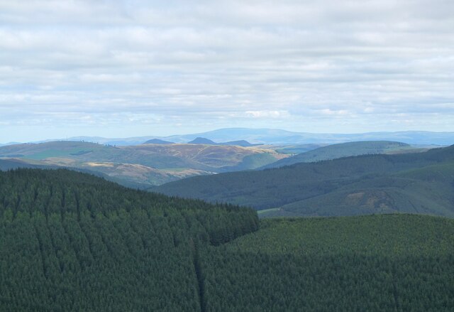
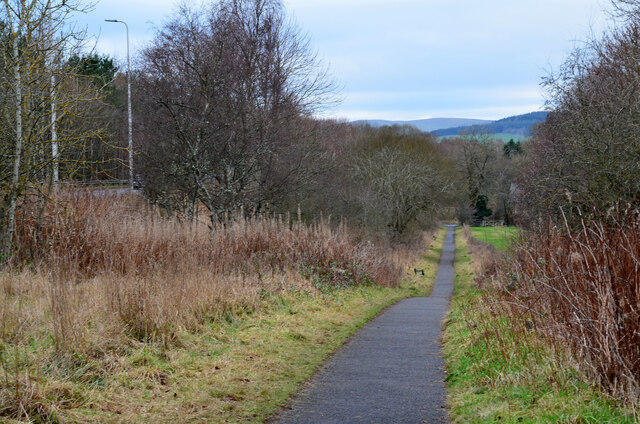
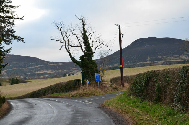
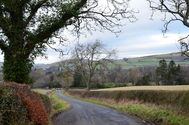
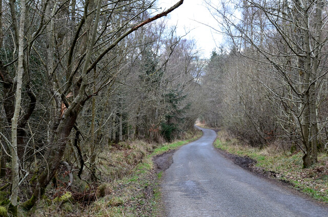
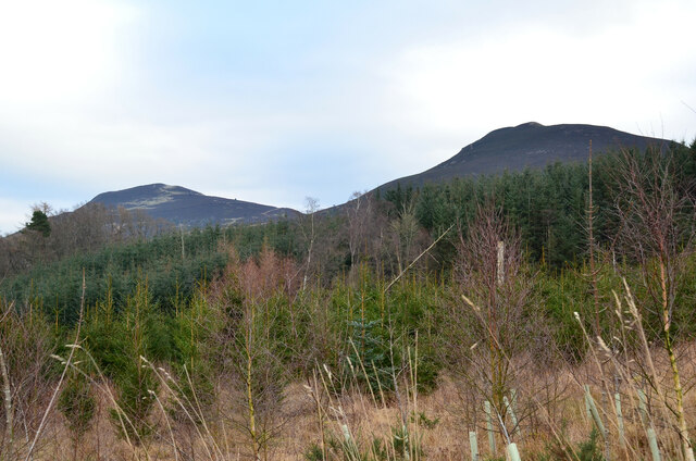
Charge Law Plantation is a sprawling woodland located in the county of Roxburghshire, Scotland. Covering an area of approximately 100 square kilometers, it is one of the largest and most diverse forests in the region. The plantation is situated on the slopes of the Charge Law hill, which offers stunning panoramic views of the surrounding countryside.

The woodland is composed of a rich variety of tree species, including oak, beech, birch, and conifers such as pine and spruce. This diverse mix of trees creates a unique and vibrant ecosystem, providing habitats for a wide range of flora and fauna. The forest floor is carpeted with an array of wildflowers, ferns, and mosses, adding to its natural beauty.

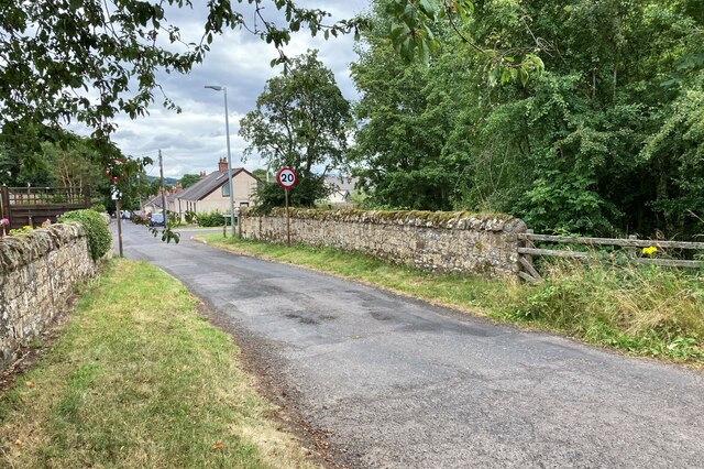
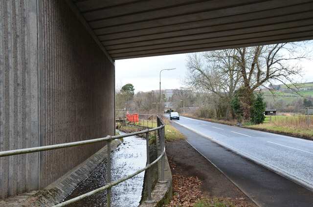
Charge Law Plantation is not only a haven for wildlife but also offers recreational opportunities for visitors. The forest features several well-maintained walking trails, providing the perfect opportunity for outdoor enthusiasts to explore its tranquil surroundings. Additionally, the plantation is home to a number of well-positioned bird hides, allowing birdwatchers to observe various species in their natural habitat.

Historically, the timber from Charge Law Plantation was harvested for use in construction, furniture making, and other industries. While some sustainable logging continues to take place, the primary focus of the woodland now is conservation and recreation. The forest is managed by a dedicated team of forestry professionals, who work tirelessly to maintain its ecological balance and promote sustainable practices.

Overall, Charge Law Plantation in Roxburghshire is a magnificent woodland that offers both natural beauty and recreational opportunities. Its diverse ecosystem, scenic views, and well-maintained trails make it a popular destination for nature lovers and outdoor enthusiasts alike.

If you have any feedback on the listing, please let us know in the comments section below.

Charge Law Plantation Images

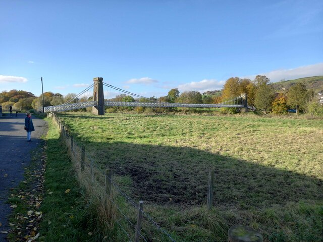
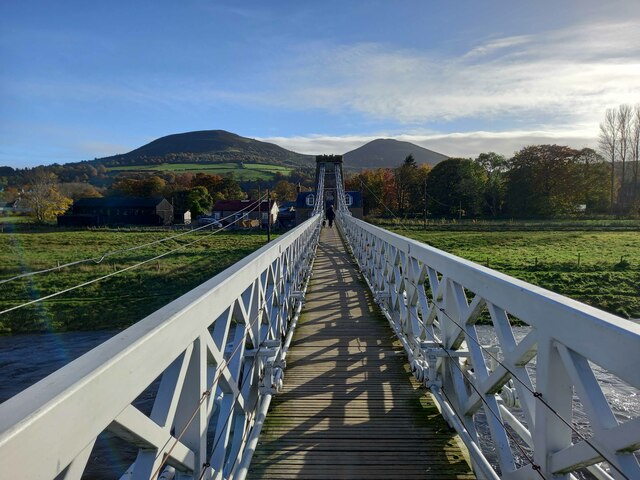
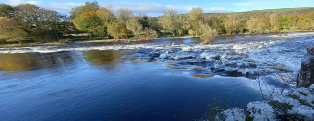
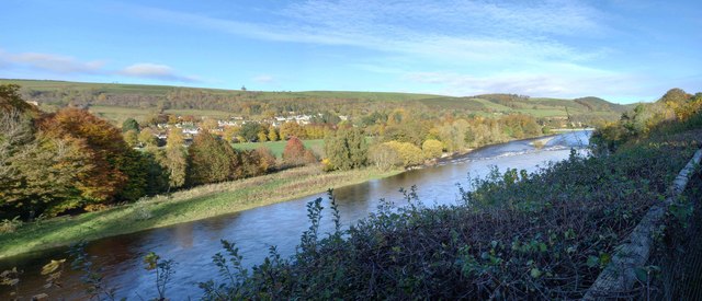
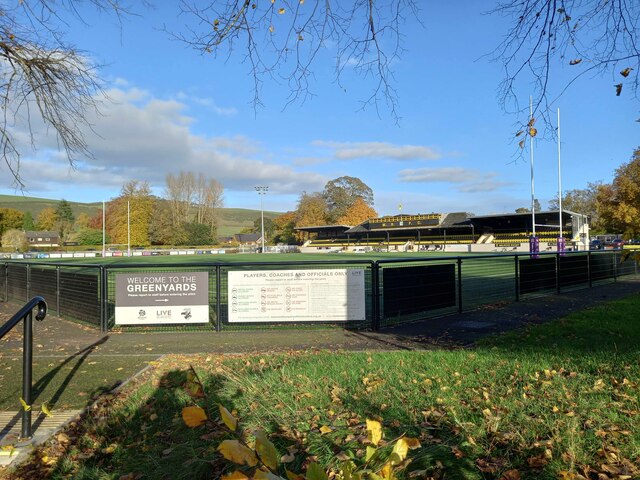
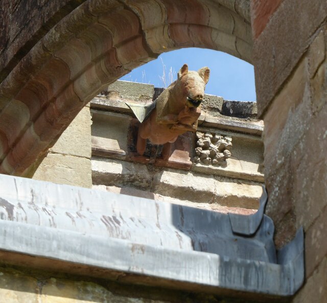
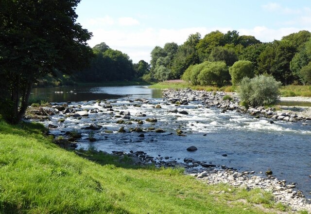
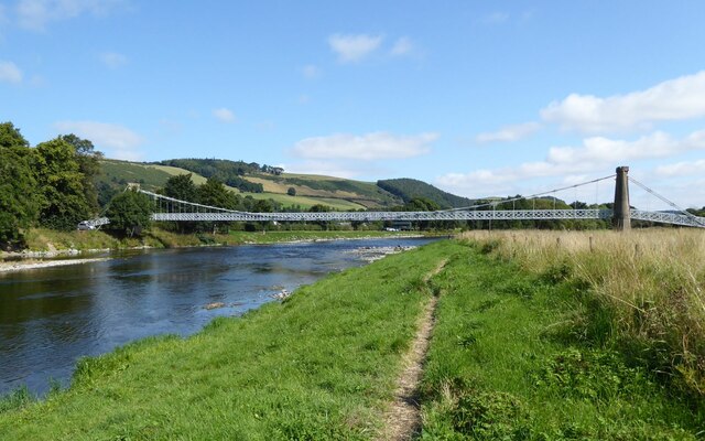
Images are sourced within 2km of 55.589254/-2.7415695 or Grid Reference NT5333. Thanks to Geograph Open Source API. All images are credited.

Footbridge across the River Tweed
Footbridge across the River Tweed Eildon Hill in the background
Footbridge across the River Tweed
Eildon Hill in the background
River Tweed at Melrose Site of a weir which I think might have  been damaged.
River Tweed at Melrose
Site of a weir which I think might have been damaged.
View of River Tweed Village of Gattonside and distant hills.
View of River Tweed
Village of Gattonside and distant hills.
Melrose Rugby Union Ground
Melrose Abbey Pig playing a bagpipe, as a gargoyle, viewed under a flying buttress.
Melrose Abbey
Pig playing a bagpipe, as a gargoyle, viewed under a flying buttress.
Derelict weir on River Tweed A lade, just to the left of the image, carried water to the abbey some 500 m to the east.
Derelict weir on River Tweed
A lade, just to the left of the image, carried water to the abbey some 500 m to the east.
Melrose, Gattonside Suspension Footbridge Tolls had to be paid to cross the new bridge over the River Tweed, which joined the communities of Melrose and Gattonside. Constructed in 1826, it is a footbridge with iron-link suspension chains, iron rods as vertical suspenders and a wooden deck.
Melrose, Gattonside Suspension Footbridge
Tolls had to be paid to cross the new bridge over the River Tweed, which joined the communities of Melrose and Gattonside. Constructed in 1826, it is a footbridge with iron-link suspension chains, iron rods as vertical suspenders and a wooden deck.
The Eildon Hills from Lee Pen The triple summits above Melrose with The Cheviot in the distance, about 60km away.
The Eildon Hills from Lee Pen
The triple summits above Melrose with The Cheviot in the distance, about 60km away.
Broomilees Road. Infilled Railway cutting At this point was an over bridge on the Waverley Line, now infilled.


<span class="nowrap"><a title="https://tinyurl.com/e94tw557" rel="nofollow ugc noopener" href="https://tinyurl.com/e94tw557">Link</a><img style="margin-left:2px;" alt="External link" title="External link - shift click to open in new window" src="https://s1.geograph.org.uk/img/external.png" width="10" height="10"/></span>
Broomilees Road. Infilled Railway cutting
At this point was an over bridge on the Waverley Line, now infilled. LinkExternal link
Dawn at the summit of Eildon Mid Hill The trig point and toposcope are silhouetted against a colourful sky about 15 minutes before sunrise.
Dawn at the summit of Eildon Mid Hill
The trig point and toposcope are silhouetted against a colourful sky about 15 minutes before sunrise.
A narrow path in Melrose The path connects High Road with Priorswalk.
A narrow path in Melrose
The path connects High Road with Priorswalk.
Cyclepath alongside Melrose By-Pass A path by the A6091 east of the Borders General Hospital.
Cyclepath alongside Melrose By-Pass
A path by the A6091 east of the Borders General Hospital.
Underpass near Borders General Hospital The underpass carries the Dingleton road and the Huntly Burn below the A6091 Melrose By-Pass.
Underpass near Borders General Hospital
The underpass carries the Dingleton road and the Huntly Burn below the A6091 Melrose By-Pass.
Road junction near Borders General Hospital Junction for a minor road, single track with passing places, with the road between Darnick and Dingleton. Eildon Mid Hill is to the right.
Road junction near Borders General Hospital
Junction for a minor road, single track with passing places, with the road between Darnick and Dingleton. Eildon Mid Hill is to the right.
Minor road near Dingleton A single-track road through farmland and plantations west of Dingleton.
Minor road near Dingleton
A single-track road through farmland and plantations west of Dingleton.
Minor road through plantations, Dingleton A single-track road west of Dingleton.
Minor road through plantations, Dingleton
A single-track road west of Dingleton.
Eildon Hills from plantations near Dingleton Eildon Hill North (L) and Eildon Mid Hill seen from a minor road west of Dingleton.
Eildon Hills from plantations near Dingleton
Eildon Hill North (L) and Eildon Mid Hill seen from a minor road west of Dingleton.
Show me another place!

Charge Law Plantation is located at Grid Ref: NT5333 (Lat: 55.589254, Lng: -2.7415695)

Unitary Authority: The Scottish Borders

Police Authority: The Lothians and Scottish Borders

What 3 Words

///pickup.bugs.migrate. Near Melrose, Scottish Borders

Related Wikis

Borders General Hospital

Borders General Hospital (BGH) is a district general hospital on the outskirts of Melrose, Scotland. It is managed by NHS Borders. == History == The hospital...

Dingleton Hospital

Dingleton Hospital was a mental health facility in Melrose, Scotland. The former boiler house is a Category B listed building. == History == The hospital...

Melrose, Scottish Borders

Melrose (Scottish Gaelic: Maolros, "bald moor") is a town and civil parish in the Scottish Borders, historically in Roxburghshire. It lies within the Eildon...

St. Mary's School, Melrose

St. Mary's School is a private, co-educational, day and boarding prep school in Melrose, Scotland. As of 2015 there are 190 pupils; 97 boys and 93 girls...

Nearby Amenities

Located within 500m of 55.589254,-2.7415695
Power: tower
Lat/Long: 55.5878945/-2.748082
Power: pole
Lat/Long: 55.58858/-2.7476825
Power: pole
Lat/Long: 55.5863275/-2.7461045
Power: pole
Lat/Long: 55.5899596/-2.7486412
Power: pole
Lat/Long: 55.589226/-2.7481098
Power: pole
Lat/Long: 55.587771/-2.7471333
Power: pole
Lat/Long: 55.5870482/-2.7466181
Power: pole
Lat/Long: 55.5856374/-2.7456174
The data included in this document is from www.openstreetmap.org. The data is made available under ODbL.

Have you been to Charge Law Plantation?

Leave your review of Charge Law Plantation below (or comments, questions and feedback).