Broomy Brae Plantation
Wood, Forest in Roxburghshire
Scotland
Broomy Brae Plantation
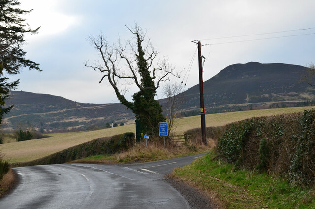
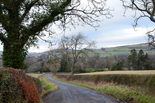
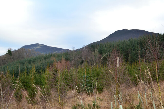
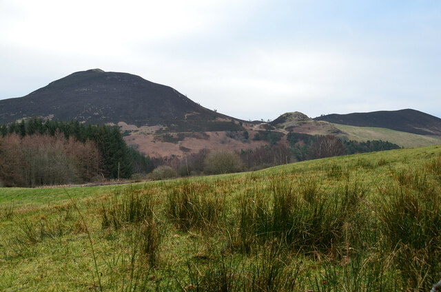
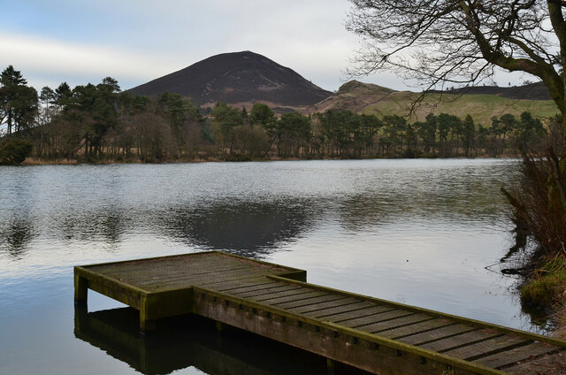
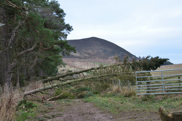
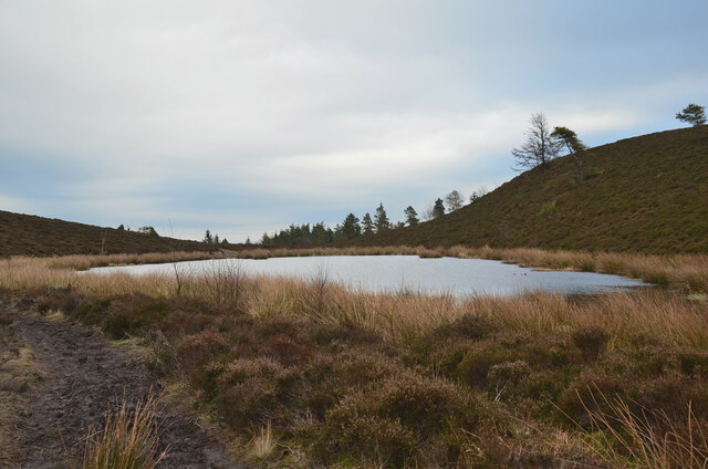
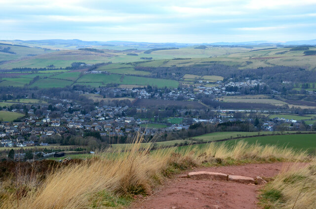
Broomy Brae Plantation is a picturesque woodland located in Roxburghshire, Scotland. Spanning over a vast area, the plantation is known for its stunning natural beauty and diverse range of plant and animal species. It is a popular destination for nature enthusiasts and hikers alike.
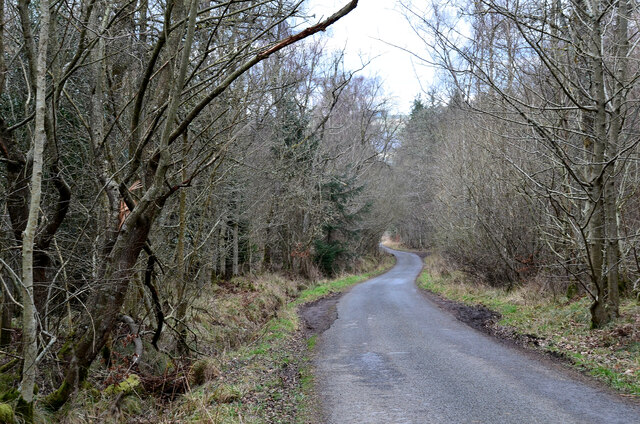
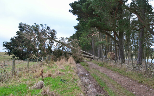
The woodland is predominantly composed of native tree species such as oak, birch, and pine, creating a rich and vibrant ecosystem. The lush greenery and tall trees provide a peaceful and tranquil environment, making it an ideal spot for relaxation and solitude.
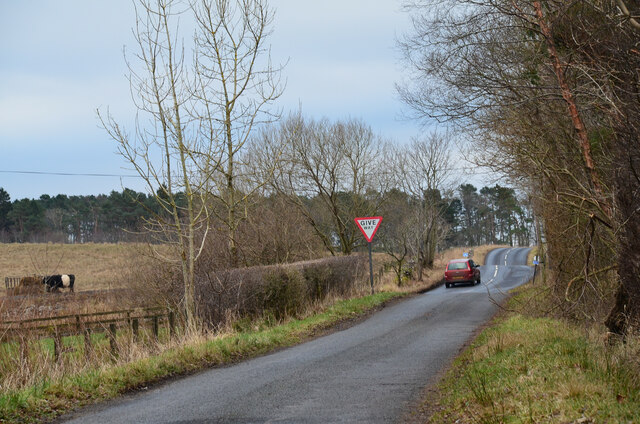
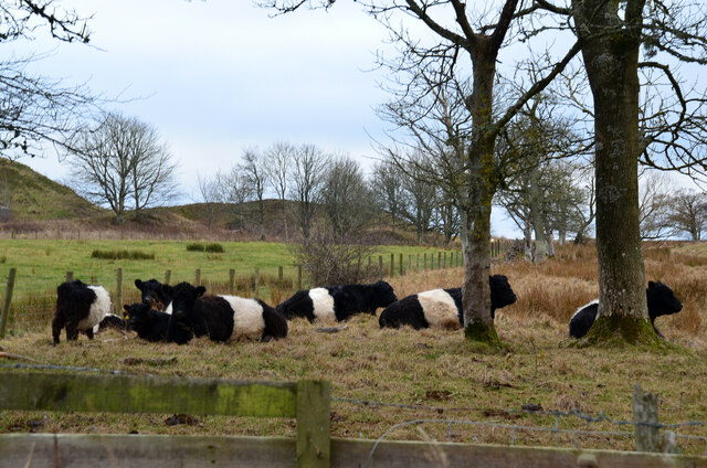
Visitors to Broomy Brae Plantation can enjoy a variety of activities including walking, birdwatching, and even camping. The well-maintained trails meander through the forest, offering breathtaking views at every turn. As one explores deeper into the plantation, they may encounter a multitude of wildlife such as deer, squirrels, and a wide array of bird species.
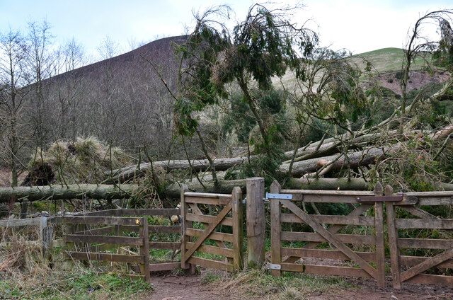
The plantation is managed by local authorities who ensure the preservation of its natural habitat. Various conservation initiatives have been undertaken to protect the woodland and its inhabitants. These efforts have resulted in the plantation being recognized as an important site for ecological conservation.
Broomy Brae Plantation is not only a haven for nature enthusiasts but also serves as an educational resource. Schools and organizations often visit the area to learn about the importance of sustainable forestry and the delicate balance of ecosystems.
Overall, Broomy Brae Plantation is a captivating woodland that showcases the beauty and diversity of Scotland's natural landscape. Its serene atmosphere and abundance of flora and fauna make it a must-visit destination for anyone seeking a connection with nature.
If you have any feedback on the listing, please let us know in the comments section below.
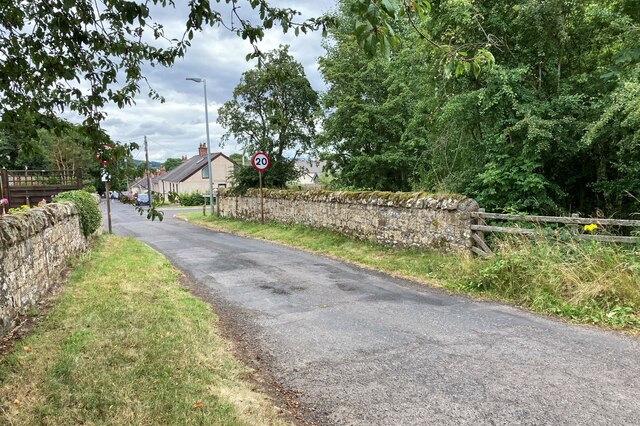
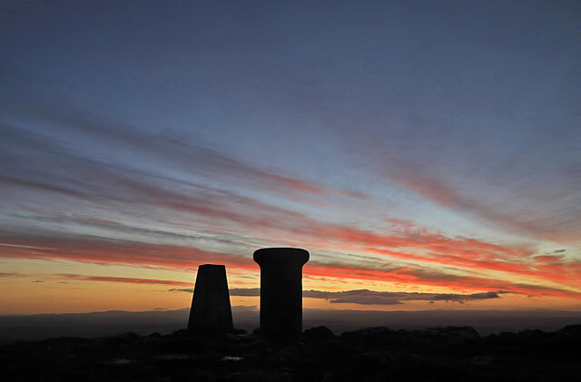
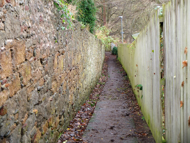
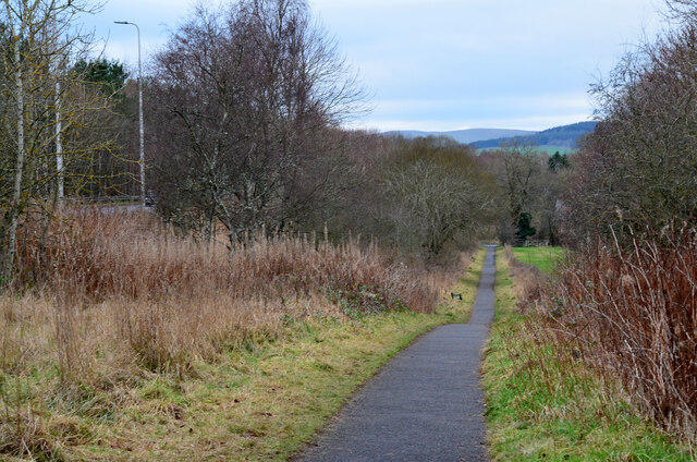
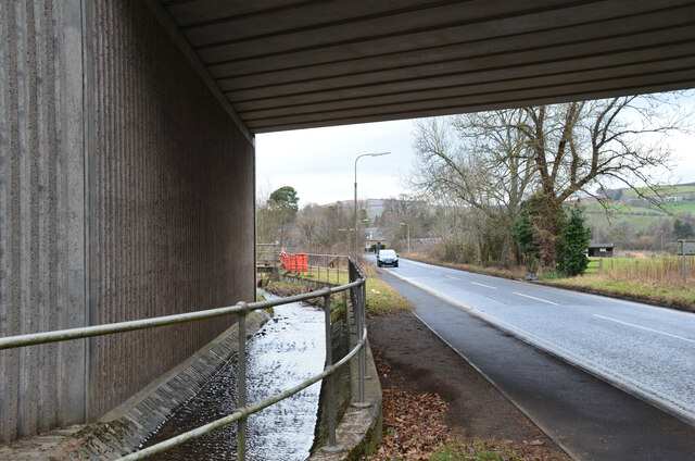
Broomy Brae Plantation Images
Images are sourced within 2km of 55.589466/-2.7347352 or Grid Reference NT5333. Thanks to Geograph Open Source API. All images are credited.
Broomy Brae Plantation is located at Grid Ref: NT5333 (Lat: 55.589466, Lng: -2.7347352)
Unitary Authority: The Scottish Borders
Police Authority: The Lothians and Scottish Borders
What 3 Words
///quail.booster.seeing. Near Melrose, Scottish Borders
Nearby Locations
Related Wikis
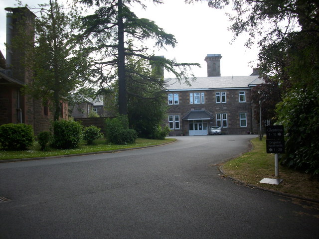
Dingleton Hospital
Dingleton Hospital was a mental health facility in Melrose, Scotland. The former boiler house is a Category B listed building. == History == The hospital...

Borders General Hospital
Borders General Hospital (BGH) is a district general hospital on the outskirts of Melrose, Scotland. It is managed by NHS Borders. == History == The hospital...

Melrose, Scottish Borders
Melrose (Scottish Gaelic: Maolros, "bald moor") is a town and civil parish in the Scottish Borders, historically in Roxburghshire. It lies within the Eildon...

St. Mary's School, Melrose
St. Mary's School is a private, co-educational, day and boarding prep school in Melrose, Scotland. As of 2015 there are 190 pupils; 97 boys and 93 girls...
Nearby Amenities
Located within 500m of 55.589466,-2.7347352Have you been to Broomy Brae Plantation?
Leave your review of Broomy Brae Plantation below (or comments, questions and feedback).