Toux Plantation

Wood, Forest in Banffshire

Scotland

Toux Plantation

Road with a View After passing between dense forests, the view towards Knock Hill opens out at this bend.
Road with a View Credit: Anne Burgess

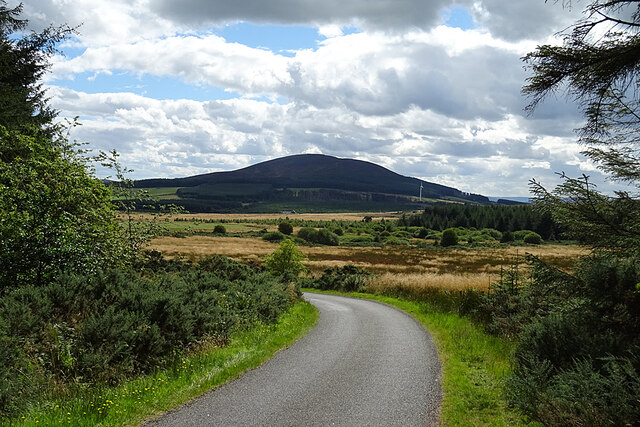
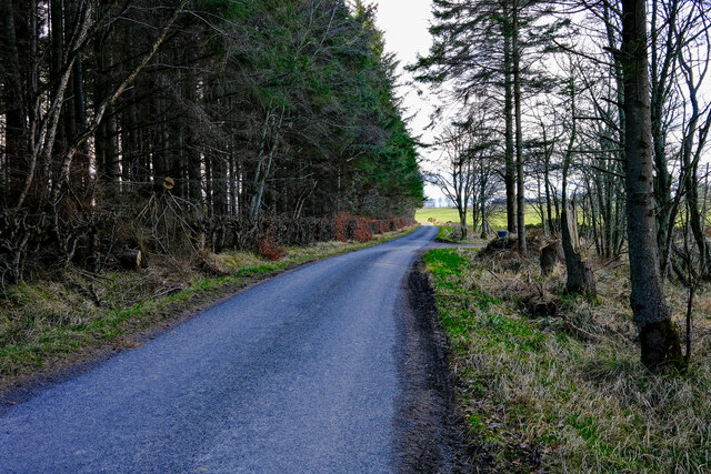
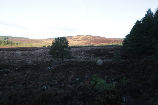
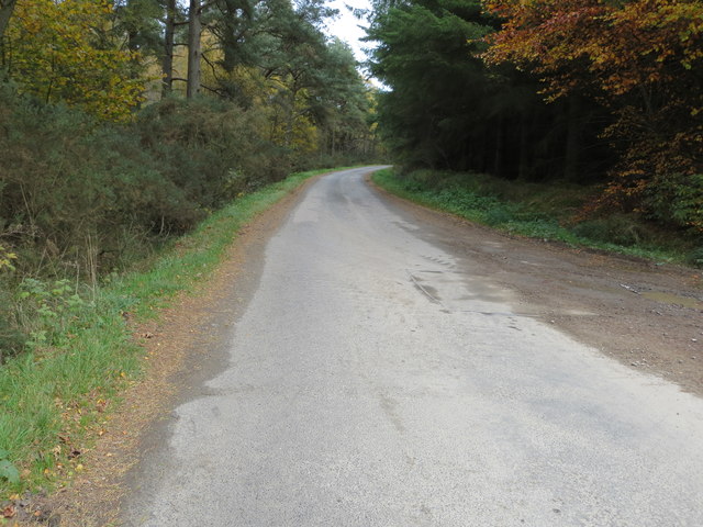
Toux Plantation, located in Banffshire, Scotland, is a remarkable woodland estate known for its scenic beauty and rich history. Covering an extensive area of land, the plantation is predominantly composed of woodlands and forests, making it a haven for nature enthusiasts and outdoor adventurers alike.

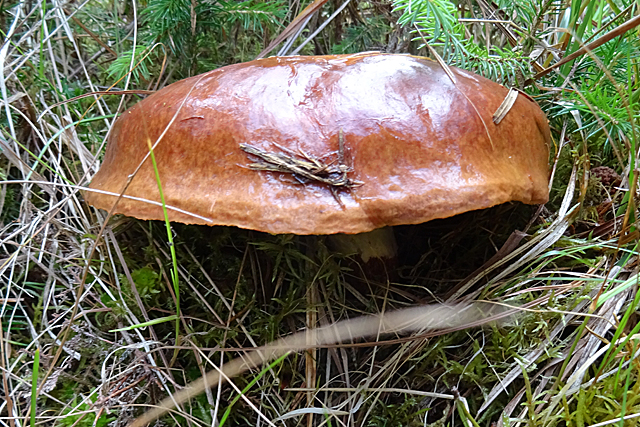
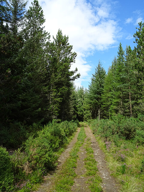
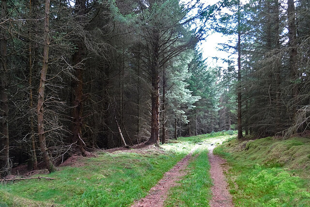
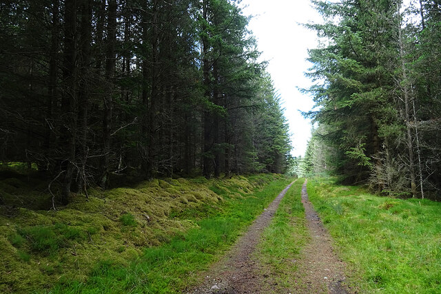
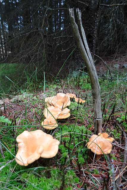
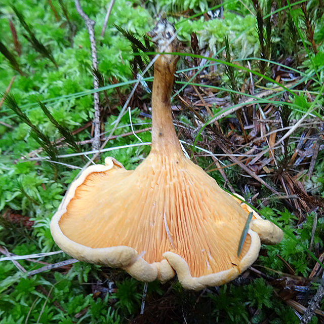
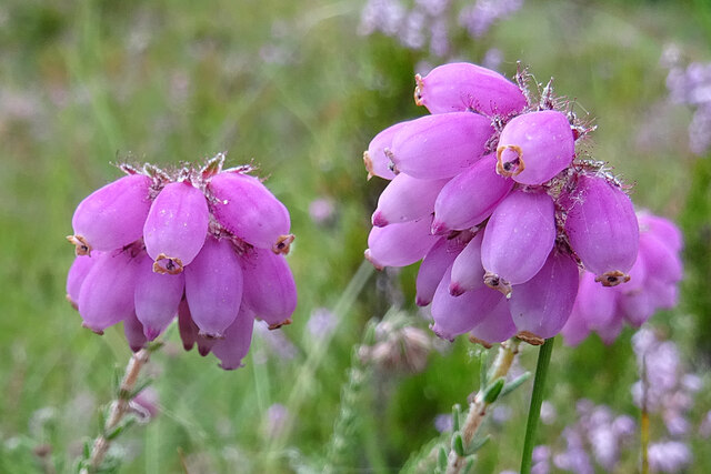
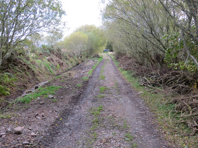
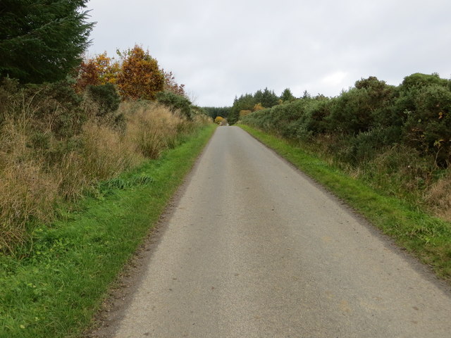
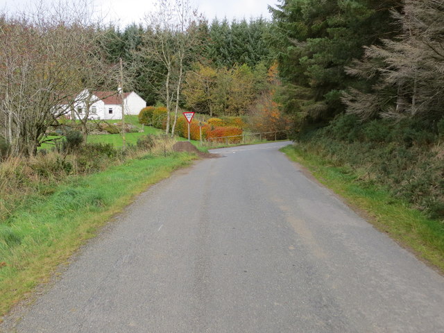
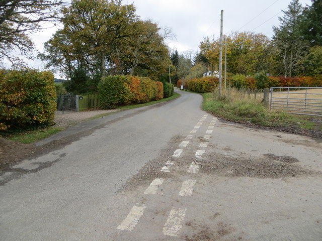
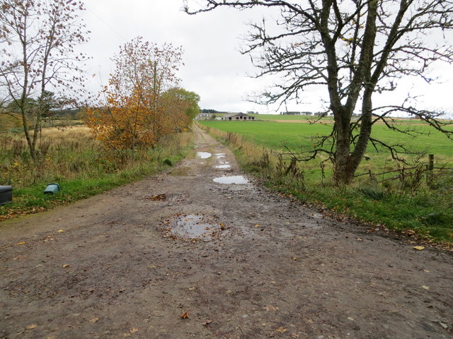
The plantation boasts a diverse range of tree species, including oak, ash, birch, and pine, creating a lush and vibrant landscape that changes with the seasons. Visitors can explore the plantation through a network of well-maintained trails, which meander through the enchanting woods, offering breathtaking views and opportunities for wildlife spotting.

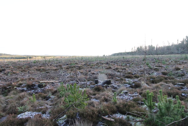
Toux Plantation's history can be traced back to the 18th century when it was established as a working estate. Over the years, it has undergone several transformations, from a timber production site to a recreational area. The remnants of its past can still be found in the form of old buildings and ruins scattered throughout the plantation, providing a glimpse into its bygone era.

Today, Toux Plantation is managed by a dedicated team of conservationists and offers a range of activities for visitors. Nature walks, birdwatching, and picnicking are popular pastimes enjoyed by those who visit the estate. The plantation also hosts educational programs and workshops, promoting environmental awareness and sustainability.

Toux Plantation, with its captivating woodlands, rich history, and commitment to conservation, stands as a testament to the natural beauty and cultural heritage of Banffshire, making it a must-visit destination for nature enthusiasts and history buffs alike.

If you have any feedback on the listing, please let us know in the comments section below.

Toux Plantation Images

Images are sourced within 2km of 57.617887/-2.7748794 or Grid Reference NJ5358. Thanks to Geograph Open Source API. All images are credited.

Road with a View After passing between dense forests, the view towards Knock Hill opens out at this bend.
Road with a View
After passing between dense forests, the view towards Knock Hill opens out at this bend.
Slippery Jack (Boletus luteus) Described as gregarious beneath conifers, preferably pine. It is fairly easy to recognise and I am told that it is good eating, but may have some unwanted after-effects.
Slippery Jack (Boletus luteus)
Described as gregarious beneath conifers, preferably pine. It is fairly easy to recognise and I am told that it is good eating, but may have some unwanted after-effects.
Forest Track A dry part of the track through Inverkindling Plantation.
Forest Track
A dry part of the track through Inverkindling Plantation.
Forest Track A very wet section of the track through Inverkindling Plantation. Fortunately it was easy enough to walk round it on drier ground.
Forest Track
A very wet section of the track through Inverkindling Plantation. Fortunately it was easy enough to walk round it on drier ground.
Forest Track Just about to leave the gloom and emerge into the sunshine.
Forest Track
Just about to leave the gloom and emerge into the sunshine.
Forest Track Yet another boring view of a gloomy track between dense stands of conifers.
Forest Track
Yet another boring view of a gloomy track between dense stands of conifers.
Chanterelles (Cantharellus cibarius) Identified by one of my companions, these are one of the most palatable fungi, unless one has the identification wrong. But at least the species that can be confused with Chanterelles are just not very good rather than actually poisonous. Or so I believe.
Chanterelles (Cantharellus cibarius)
Identified by one of my companions, these are one of the most palatable fungi, unless one has the identification wrong. But at least the species that can be confused with Chanterelles are just not very good rather than actually poisonous. Or so I believe.
Chanterelle (Cantharellus cibarius) Identified by one of my companions, these are one of the most palatable fungi, unless one has the identification wrong. But at least the species that can be confused with Chanterelles are just not very good rather than actually poisonous. Or so I believe.
Chanterelle (Cantharellus cibarius)
Identified by one of my companions, these are one of the most palatable fungi, unless one has the identification wrong. But at least the species that can be confused with Chanterelles are just not very good rather than actually poisonous. Or so I believe.
Cross-leaved Heath (Erica tetralix) Often confused with Bell Heather (Erica cinerea). Normally the flowers are over by late August, but there were still a few on show.
Cross-leaved Heath (Erica tetralix)
Often confused with Bell Heather (Erica cinerea). Normally the flowers are over by late August, but there were still a few on show.
Back Road passed Toux A quiet road in Aberdeenshire
Back Road passed Toux
A quiet road in Aberdeenshire
Hill of Inverkindling From Whiteley Moss.
Hill of Inverkindling
From Whiteley Moss.
Cleared Woodland at Whiteley Moss
Track leading to Mains of Badenyouchers Looking north-eastward.
Track leading to Mains of Badenyouchers
Looking north-eastward.
Minor road heading towards Hinksfield Looking north-westward.
Minor road heading towards Hinksfield
Looking north-westward.
Junction of minor roads at Hinksfield Looking north-westward.
Junction of minor roads at Hinksfield
Looking north-westward.
Junction of minor roads at Fordyce Lodge Looking south-westward.
Junction of minor roads at Fordyce Lodge
Looking south-westward.
Track leading to Winterton Looking north-westward.
Track leading to Winterton
Looking north-westward.
Road near the entrance to Coldwells Looking north-eastward.
Road near the entrance to Coldwells
Looking north-eastward.
Show me another place!

Toux Plantation is located at Grid Ref: NJ5358 (Lat: 57.617887, Lng: -2.7748794)

Unitary Authority: Aberdeenshire

Police Authority: North East

What 3 Words

///scooters.worthy.dividing. Near Cullen, Moray

Related Wikis

Deskford Tower

Tower of Deskford was a 14th-century tower house, about 3.5 miles (5.6 km) south of Cullen, Moray, Scotland at Deskford, west of the burn. The tower and...

Deskford

Deskford (Scottish Gaelic: Deasgard) is a parish and a small settlement in Moray, Scotland, formerly in Banffshire. A number of significant historical...

Cornhill railway station

Cornhill railway station was an intermediate stop situated on the Great North of Scotland Railway (GNoSR) line from Cairnie Junction to Tillynaught. There...

Glenbarry railway station

Glenbarry railway station, previously known as Barry was an intermediate stop with a passing loop situated on the Great North of Scotland Railway (GNoSR...

Cornhill, Aberdeenshire

Cornhill (Scottish Gaelic: Cnoc an Arbhair) is a small village close to Banff, Aberdeenshire, Scotland. It lies 5 miles (8.0 km) to the south of Portsoy...

Fordyce Castle

Fordyce Castle is a T-plan castle, its oldest part dating from 1592, about three miles south-west of Portsoy, in the village of Fordyce, Aberdeenshire...

Fordyce, Aberdeenshire

Fordyce is a village in Aberdeenshire, Scotland that is slightly inland from the point where the Burn of Fordyce meets the sea between Cullen and Portsoy...

Fordyce Academy

Fordyce Academy, known until the mid-19th century as Fordyce School, and also sometimes called Smith's Academy, was a famous grammar school in the village...

Nearby Amenities

Located within 500m of 57.617887,-2.7748794
Power: pole
Lat/Long: 57.6189548/-2.7670225
Power: pole
Lat/Long: 57.619318/-2.7681055
Power: pole
Lat/Long: 57.6197089/-2.7692334
Power: pole
Lat/Long: 57.619985/-2.7700245
Power: pole
Lat/Long: 57.620705/-2.7704789
Power: pole
Lat/Long: 57.6209446/-2.7712912
Power: pole
Lat/Long: 57.6211842/-2.7720635
Power: pole
Lat/Long: 57.6214073/-2.7728099
Power: pole
Lat/Long: 57.6216469/-2.7736151
Power: pole
Lat/Long: 57.6218701/-2.7743686
Power: pole
Lat/Long: 57.6221046/-2.7751338
Power: pole
Lat/Long: 57.6217162/-2.7754799
Power: pole
Lat/Long: 57.6173231/-2.7671755
Power: pole
Lat/Long: 57.6170154/-2.7680891
Power: pole
Lat/Long: 57.6167153/-2.7689226
Power: pole
Lat/Long: 57.6164013/-2.7697914
Power: pole
Lat/Long: 57.615883/-2.7708957
Power: pole
Lat/Long: 57.6154479/-2.7718563
Power: pole
Lat/Long: 57.6149763/-2.7728287
Power: pole
Lat/Long: 57.614463/-2.7739259
The data included in this document is from www.openstreetmap.org. The data is made available under ODbL.

Have you been to Toux Plantation?

Leave your review of Toux Plantation below (or comments, questions and feedback).