Hilltop Plantation

Wood, Forest in Roxburghshire

Scotland

Hilltop Plantation

Lilliesleaf Parish Church The first church on this site was said to be built in 1110 and replaced in 1430. The present church was built in 1771 and extended in 1883 and 1910 with the addition of a bell tower. This photo was taken at 11.50 on Christmas Day.
Lilliesleaf Parish Church Credit: Walter Baxter

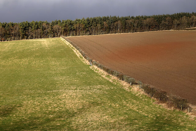
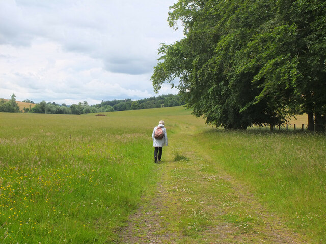
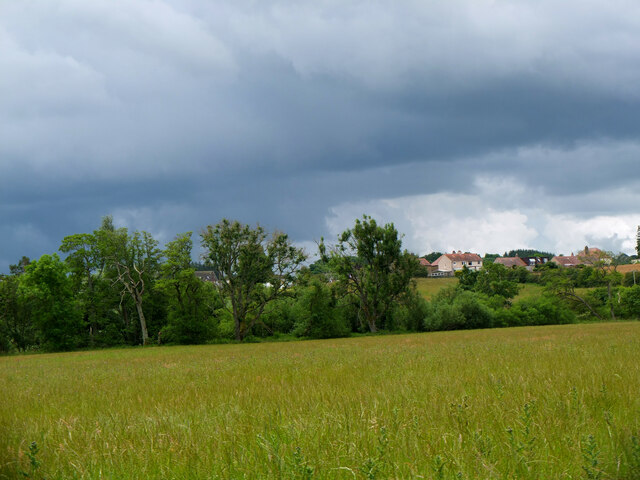
Hilltop Plantation is a picturesque woodland located in Roxburghshire, a historic county in the Scottish Borders region. Stretching across a vast area, the plantation is characterized by its diverse range of tree species and stunning natural beauty.

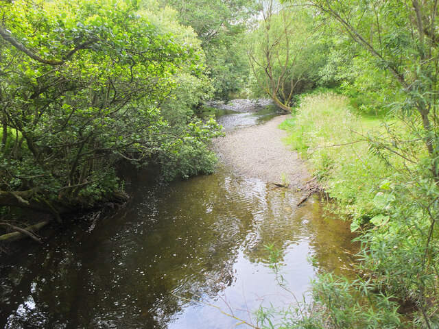
The plantation is primarily composed of native trees such as oak, birch, and beech, which form a dense canopy overhead. This creates a tranquil and shady atmosphere, perfect for leisurely walks and nature enthusiasts. The forest floor is adorned with a rich carpet of wildflowers, adding bursts of color to the landscape.

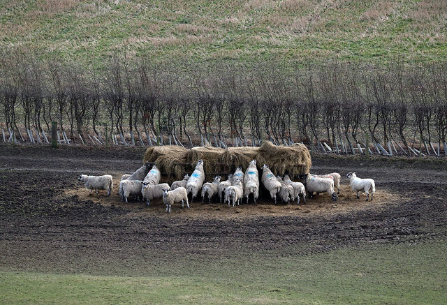
Hilltop Plantation is home to a variety of wildlife, including red squirrels, roe deer, and numerous bird species. Nature lovers can often spot these creatures amidst the woodland, making it a popular destination for birdwatching and wildlife photography.

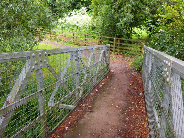
The plantation offers a network of well-maintained walking trails, allowing visitors to explore its enchanting surroundings at their own pace. These trails cater to all fitness levels and provide ample opportunities to admire the breathtaking views of the surrounding countryside.

Additionally, Hilltop Plantation features a visitor center, where visitors can learn more about the local flora and fauna. The center provides educational displays and interactive exhibits, offering an insight into the plantation's ecological significance and the conservation efforts undertaken to preserve its natural habitat.

Overall, Hilltop Plantation is a true gem within Roxburghshire, offering visitors a chance to escape the hustle and bustle of everyday life and immerse themselves in the tranquility of nature.

If you have any feedback on the listing, please let us know in the comments section below.

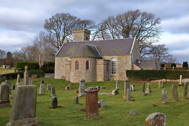
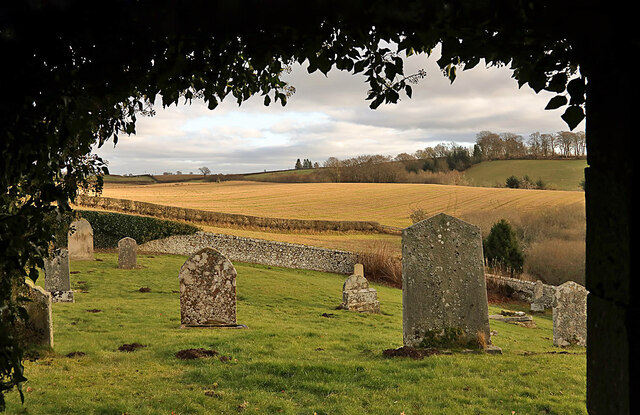
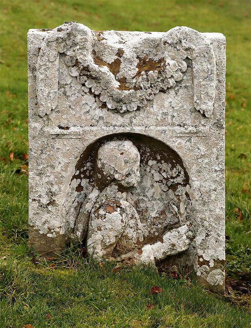
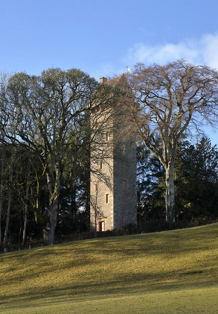
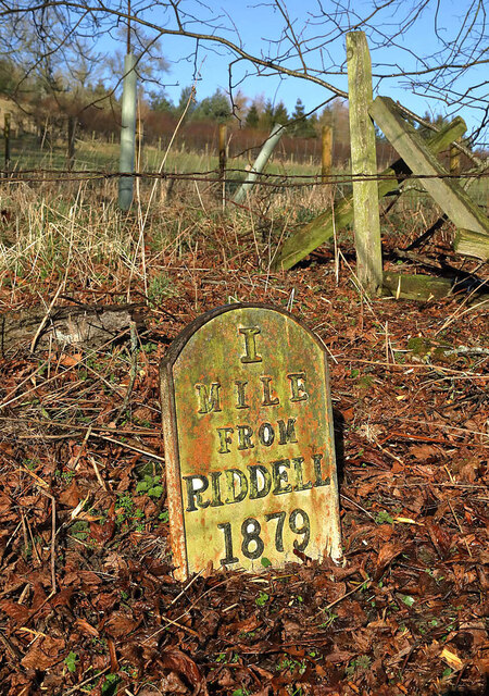
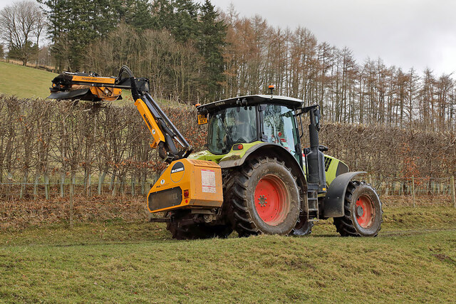
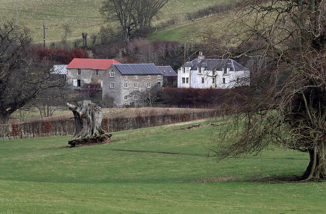
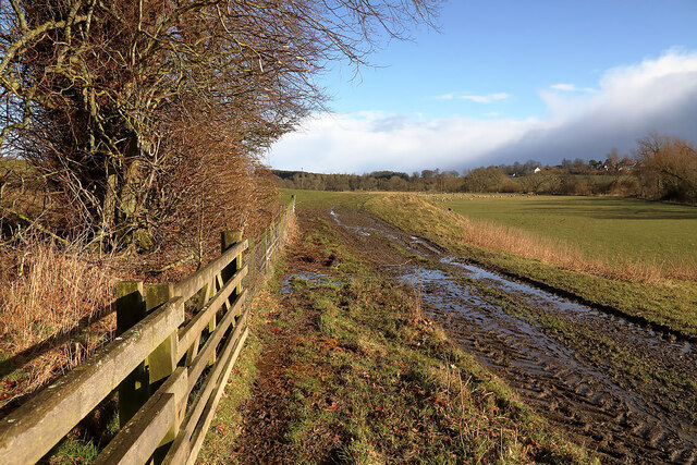
Hilltop Plantation Images

Images are sourced within 2km of 55.523027/-2.7331002 or Grid Reference NT5325. Thanks to Geograph Open Source API. All images are credited.

Lilliesleaf Parish Church The first church on this site was said to be built in 1110 and replaced in 1430. The present church was built in 1771 and extended in 1883 and 1910 with the addition of a bell tower. This photo was taken at 11.50 on Christmas Day.
Lilliesleaf Parish Church
The first church on this site was said to be built in 1110 and replaced in 1430. The present church was built in 1771 and extended in 1883 and 1910 with the addition of a bell tower. This photo was taken at 11.50 on Christmas Day.
Lilliesleaf Churchyard This view of the southeast part of the churchyard was taken from the entrance to the Riddell burial aisle.
Lilliesleaf Churchyard
This view of the southeast part of the churchyard was taken from the entrance to the Riddell burial aisle.
A symbolic gravestone at Lilliesleaf Churchyard The head of the winged soul on this lichen-covered portrait headstone is missing.
A symbolic gravestone at Lilliesleaf Churchyard
The head of the winged soul on this lichen-covered portrait headstone is missing.
The General’s Tower at Riddell This 25m high observation tower, surrounded by trees, was built in memory of the Sprot family on a medieval motte and bailey in 1885 by A. Herbertson & Son for Major-General John Sprot. An internal vertiginous metal spiral staircase in one corner leads to a caphouse and corbelled parapet walkway. For a long distance autumnal view, see <a href="https://www.geograph.org.uk/photo/2142196">NT5224 : The General's Tower at Riddell</a>.
The General’s Tower at Riddell
This 25m high observation tower, surrounded by trees, was built in memory of the Sprot family on a medieval motte and bailey in 1885 by A. Herbertson & Son for Major-General John Sprot. An internal vertiginous metal spiral staircase in one corner leads to a caphouse and corbelled parapet walkway. For a long distance autumnal view, see NT5224 : The General's Tower at Riddell.
Sheep at Riddell This winter feeding station is by a farm track.
Sheep at Riddell
This winter feeding station is by a farm track.
The caphouse on the General’s Tower at Riddell The caphouse and corbelled parapet walkway can be accessed by an internal vertiginous metal spiral staircase. For a wider view of the 25m high tower, see <a href="https://www.geograph.org.uk/photo/7098037">NT5224 : The General’s Tower at Riddell</a>.
The caphouse on the General’s Tower at Riddell
The caphouse and corbelled parapet walkway can be accessed by an internal vertiginous metal spiral staircase. For a wider view of the 25m high tower, see NT5224 : The General’s Tower at Riddell.
A crest above the entrance door to the general’s Tower The crest features a heron, three fish and a boar’s head. The initials J. S. stand for Major-General John Sprot who commissioned the tower. For a view of the tower, see <a href="https://www.geograph.org.uk/photo/7098037">NT5224 : The General’s Tower at Riddell</a>.
A crest above the entrance door to the general’s Tower
The crest features a heron, three fish and a boar’s head. The initials J. S. stand for Major-General John Sprot who commissioned the tower. For a view of the tower, see NT5224 : The General’s Tower at Riddell.
Mixed farmland at Lilliesleaf The fields were viewed from the B6400 opposite Lilliesleaf Parish Church.
Mixed farmland at Lilliesleaf
The fields were viewed from the B6400 opposite Lilliesleaf Parish Church.
An old Riddell milepost The milepost is in the southeast edge of a strip wood by a farm track. For some historical information, see <a href="https://www.geograph.org.uk/photo/6814513">NT5225 : Old milepost</a>.
An old Riddell milepost
The milepost is in the southeast edge of a strip wood by a farm track. For some historical information, see NT5225 : Old milepost.
Hedge trimming on the Riddell Estate
Riddell Mill This is the site of a former watermill.
Riddell Mill
This is the site of a former watermill.
A farm track on the Riddell Estate The ground was saturated after periods of heavy rain.
A farm track on the Riddell Estate
The ground was saturated after periods of heavy rain.
A gravestone detail at Lilliesleaf This is the top part of an 18th century wall monument gravestone in an enclosure at Lilliesleaf Parish Churchyard. The portrait figure represents the deceased holding a book to show religious devotion, while the menacing figure on the left is a symbol of mortality, a crown-wearing skeleton, the King of Terrors, holding an hourglass and a dart. It was difficult to make anything out on the inscription below.
There is an almost identical stone at Roberton Cemetery <a href="https://www.geograph.org.uk/photo/2551444">NT4314 : A gravestone detail at Roberton</a>.
A gravestone detail at Lilliesleaf
This is the top part of an 18th century wall monument gravestone in an enclosure at Lilliesleaf Parish Churchyard. The portrait figure represents the deceased holding a book to show religious devotion, while the menacing figure on the left is a symbol of mortality, a crown-wearing skeleton, the King of Terrors, holding an hourglass and a dart. It was difficult to make anything out on the inscription below. There is an almost identical stone at Roberton Cemetery NT4314 : A gravestone detail at Roberton.
Sewage treatment plant, Lilliesleaf Near the east end of the village on the lane down to the Ale Water.
Sewage treatment plant, Lilliesleaf
Near the east end of the village on the lane down to the Ale Water.
Ale Water at Lilliesleaf Looking upstream from the Jubilee footbridge.
Ale Water at Lilliesleaf
Looking upstream from the Jubilee footbridge.
Jubilee Bridge, Lilliesleaf The bridge carries a path over the Ale Water with access westwards to a field track to Riddell or eastwards to meet the B6453 road to Midlem.
Jubilee Bridge, Lilliesleaf
The bridge carries a path over the Ale Water with access westwards to a field track to Riddell or eastwards to meet the B6453 road to Midlem.
Field track to Riddell A track through farmland to the estate at Riddell. Compare with <a href="https://www.geograph.org.uk/photo/3035817">NT5325 : Field track, Lilliesleaf</a> taken here on my previous visit in the soggy July of 2012.
Field track to Riddell
A track through farmland to the estate at Riddell. Compare with NT5325 : Field track, Lilliesleaf taken here on my previous visit in the soggy July of 2012.
Ominous sky over Lilliesleaf A heavy shower is falling somewhere to the south in unsettled weather with little wind. I encountered a flooded minor road near Bowden on the drive home a few hours later.
Ominous sky over Lilliesleaf
A heavy shower is falling somewhere to the south in unsettled weather with little wind. I encountered a flooded minor road near Bowden on the drive home a few hours later.
Show me another place!

Hilltop Plantation is located at Grid Ref: NT5325 (Lat: 55.523027, Lng: -2.7331002)

Unitary Authority: The Scottish Borders

Police Authority: The Lothians and Scottish Borders

What 3 Words

///trending.spilling.uttering. Near Selkirk, Scottish Borders

Related Wikis

Lilliesleaf

Lilliesleaf is a small village and civil parish 7 miles (11 km) south east of Selkirk in the Roxburghshire area of Scottish Borders of Scotland. Other...

Lothian and Borders

Lothian and Borders is an area in Scotland consisting of the East Lothian, City of Edinburgh, Midlothian, West Lothian council areas (collectively known...

Old Belses

Old Belses is a village by the Ale Water, in the Parish of Ancrum, in the Scottish Borders of Scotland, in the historic county of Roxburghshire. Other...

Belses

Belses is a village on the Ale Water, in the Scottish Borders area of Scotland the former Selkirkshire. It is situated close to Old Belses, and lies south...

Belses railway station

Belses railway station served the village of Belses, Scottish Borders, Scotland from 1849 to 1969 on the Waverley Route. == History == The station opened...

Castle Holydean

Holydean Castle (pronounced "hollydeen") was a castle sited near Melrose in Bowden, 1.25 miles SW of the village, in the Scottish Borders region of Scotland...

Bowden, Scottish Borders

Bowden is a village in the Roxburghshire area of the Scottish Borders, situated 3 miles (5 kilometres) south of Melrose, 2 miles (3 kilometres) west of...

Bowismiln

Bowismiln is a village in the Scottish Borders area of Scotland. == See also == List of places in the Scottish Borders List of places in Scotland ��2...

Nearby Amenities

Located within 500m of 55.523027,-2.7331002
Toftbarns
Place: isolated_dwelling
Lat/Long: 55.5273959/-2.7331149
Power: pole
Lat/Long: 55.5205737/-2.7383834
Power: pole
Lat/Long: 55.5214281/-2.7377369
Power: pole
Lat/Long: 55.5222666/-2.7370752
Power: pole
Lat/Long: 55.5232736/-2.7360241
Power: pole
Lat/Long: 55.5243685/-2.7350748
Power: pole
Lat/Long: 55.5254606/-2.7341331
Power: pole
Lat/Long: 55.5259849/-2.7343825
Power: pole
Lat/Long: 55.5264848/-2.7341025
Power: pole
Lat/Long: 55.5269098/-2.733731
Power: pole
Lat/Long: 55.5247748/-2.7402184
Power: pole
Lat/Long: 55.524478/-2.7397577
Power: pole
Lat/Long: 55.5236698/-2.7385386
Power: pole
Lat/Long: 55.5233961/-2.7381492
Power: pole
Lat/Long: 55.5231094/-2.7378387
The data included in this document is from www.openstreetmap.org. The data is made available under ODbL.

Have you been to Hilltop Plantation?

Leave your review of Hilltop Plantation below (or comments, questions and feedback).