Kelly Cleuch

Valley in Roxburghshire

Scotland

Kelly Cleuch

A logging track meets the trackbed of the former Waverley Route This image is taken with an aspect looking back along the former Waverley Route; a logging track from the nearby minor road joins from the left.

This photograph was taken during the Coronavirus (COVID-19) pandemic of 2020/21/22.
A logging track meets the trackbed of the former Waverley Route Credit: James T M Towill

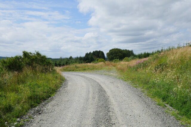
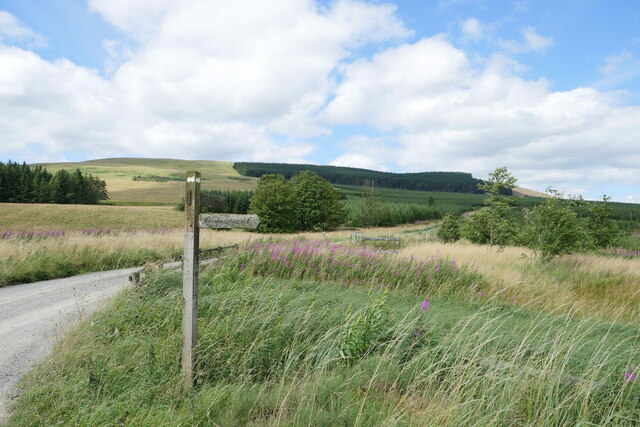
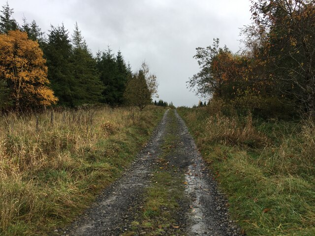
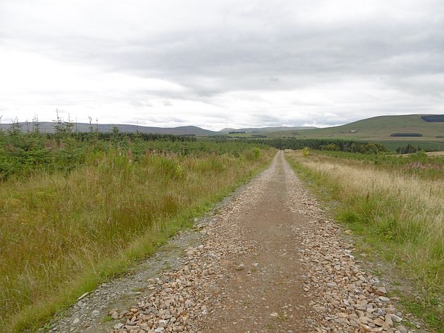
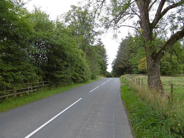
Kelly Cleuch is a scenic valley located in Roxburghshire, a historic county in the Scottish Borders region of Scotland. Situated around 3 miles south of the town of Hawick, Kelly Cleuch offers breathtaking natural beauty and a tranquil atmosphere.

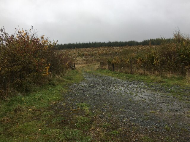
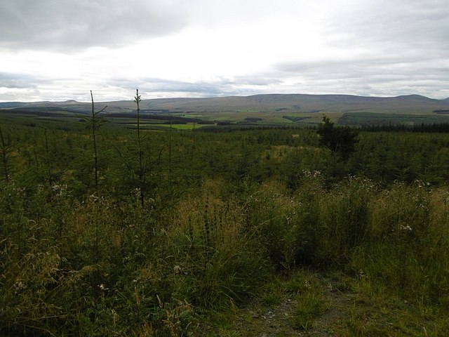
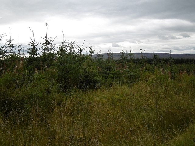
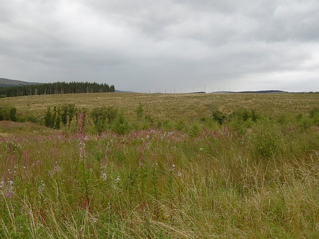
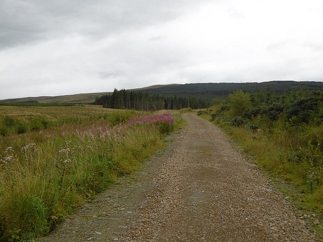
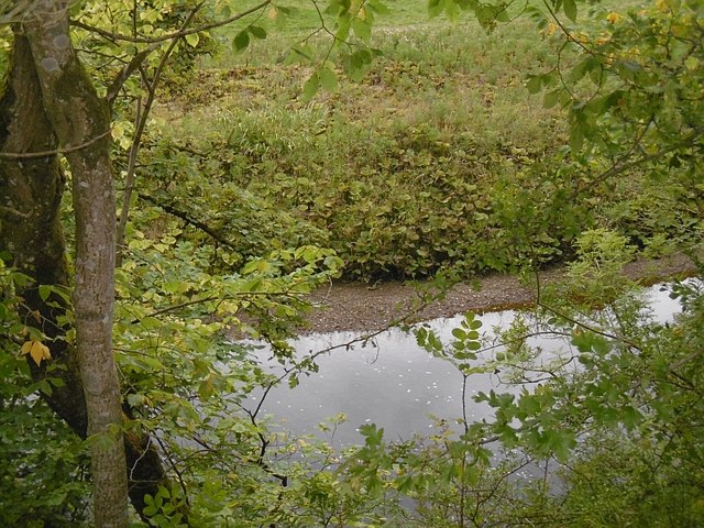
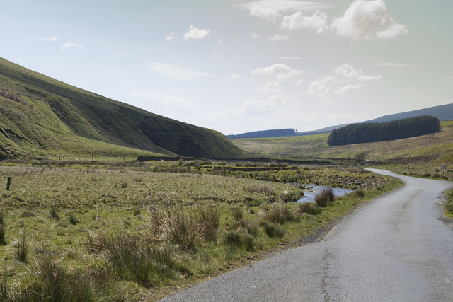
The valley is nestled between rolling hills and is renowned for its lush green pastures, picturesque meadows, and the meandering Kelly Burn that flows through it. The area is a haven for nature enthusiasts, with an abundance of wildlife and a diverse range of plant species. The peacefulness of the valley provides a perfect setting for hiking, birdwatching, or simply enjoying a leisurely stroll.

Kelly Cleuch is also steeped in history, with several archaeological sites scattered throughout the area. The remnants of a prehistoric hill fort known as Castleweary can be found on the hillside overlooking the valley, allowing visitors to step back in time and imagine its former glory.

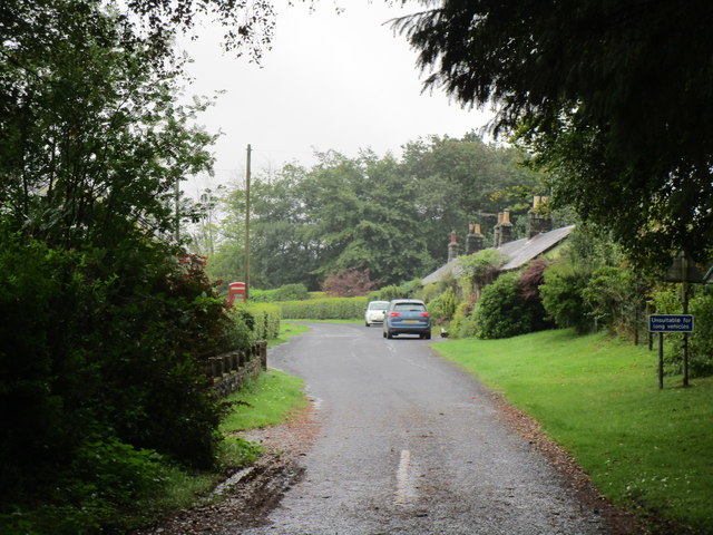
In terms of amenities, the valley itself does not have any residential or commercial establishments. However, nearby Hawick offers a range of services including accommodation, restaurants, and shops for visitors to enjoy. The town is known for its rich textile heritage, and visitors to Kelly Cleuch can explore the Hawick Museum and Border Textile Towerhouse to learn more about the area's history.

Overall, Kelly Cleuch is a hidden gem in Roxburghshire, offering a peaceful retreat for nature lovers and history enthusiasts alike. Its stunning landscapes and cultural significance make it a must-visit destination in the Scottish Borders.

If you have any feedback on the listing, please let us know in the comments section below.
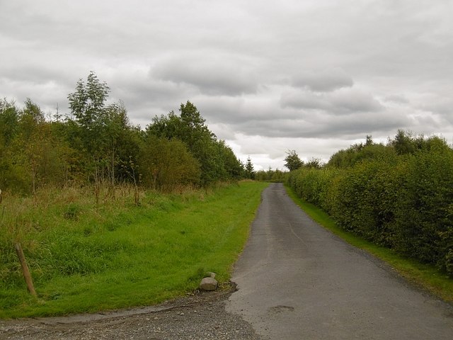
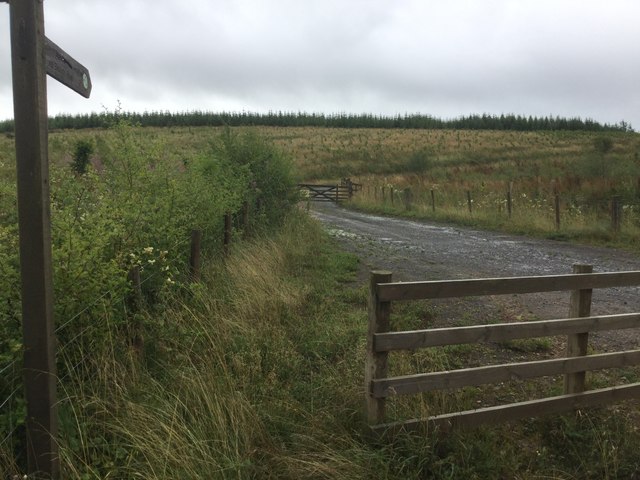
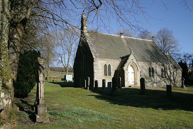
Kelly Cleuch Images

Images are sourced within 2km of 55.22723/-2.7271616 or Grid Reference NY5392. Thanks to Geograph Open Source API. All images are credited.

A logging track meets the trackbed of the former Waverley Route This image is taken with an aspect looking back along the former Waverley Route; a logging track from the nearby minor road joins from the left.

This photograph was taken during the Coronavirus (COVID-19) pandemic of 2020/21/22.
A logging track meets the trackbed of the former Waverley Route
This image is taken with an aspect looking back along the former Waverley Route; a logging track from the nearby minor road joins from the left. This photograph was taken during the Coronavirus (COVID-19) pandemic of 2020/21/22.
A fingerpost near Taylor's Cleuch This track affords access to the trackbed of the former Waverley Route near Steele Road.

This photograph was taken during the Coronavirus (COVID-19) pandemic of 2020/21/22.
A fingerpost near Taylor's Cleuch
This track affords access to the trackbed of the former Waverley Route near Steele Road. This photograph was taken during the Coronavirus (COVID-19) pandemic of 2020/21/22.
Forestry road near Newcastleton Forest
B6357 towards Newcastleton
Forestry road near Kirndean
Newcastleton Forest A replanted block beside the road up to the police radio mast on Larriston Fells.
Newcastleton Forest
A replanted block beside the road up to the police radio mast on Larriston Fells.
Windthrow, Newcastleton Forest
Larriston Fells road A recently resurfaced road serves a privately managed part of Newcastleton Forest and the police mast on Larriston Fells.
Larriston Fells road
A recently resurfaced road serves a privately managed part of Newcastleton Forest and the police mast on Larriston Fells.
Young trees, Newcastleton Forest This <a href="https://www.geograph.org.uk/photo/453172">NY5391 : Forest Road</a> block a few years on.
Young trees, Newcastleton Forest
This NY5391 : Forest Road block a few years on.
Felled and replanted area Newcastleton Forest near Mountain View.
Felled and replanted area
Newcastleton Forest near Mountain View.
Forest road, Newcastleton The road continues to a police radio mast on Larriston Fells.
Forest road, Newcastleton
The road continues to a police radio mast on Larriston Fells.
Liddel Water Downstream of Dinlabyre Bridge.
Liddel Water
Downstream of Dinlabyre Bridge.
B6357, Liddesdale Passing the outlet of the road to the police mast on Larriston Fells.
B6357, Liddesdale
Passing the outlet of the road to the police mast on Larriston Fells.
Road to Kirndean Now running through a young woodland.
Road to Kirndean
Now running through a young woodland.
A very empty looking valley This road is the B6357 hardly a B class road as it is really a single track road with passing places. The valley is used for sheep and cattle grazing.
A very empty looking valley
This road is the B6357 hardly a B class road as it is really a single track road with passing places. The valley is used for sheep and cattle grazing.
Forest road end Signposted for the border at Bloody Bush, reached after a crossing of the Larriston Fells.
Forest road end
Signposted for the border at Bloody Bush, reached after a crossing of the Larriston Fells.
Young woodland, Hewisbridge Between road and river in Liddesdale. The trees are spaced, so there is plenty of room for the flower display.
Young woodland, Hewisbridge
Between road and river in Liddesdale. The trees are spaced, so there is plenty of room for the flower display.
Steele Road
Steele Road
Show me another place!

Kelly Cleuch is located at Grid Ref: NY5392 (Lat: 55.22723, Lng: -2.7271616)

Unitary Authority: The Scottish Borders

Police Authority: The Lothians and Scottish Borders

What 3 Words

///deals.scarecrow.landmark. Near Teviothead, Scottish Borders

Related Wikis

Dinlabyre

Dinlabyre is a village on the B6357 in Liddesdale, on the edge of the Newcastleton Forest, close to Castleton, in the Scottish Borders area of Scotland...

Steele Road railway station

Steele Road railway station served the hamlet of Steele Road, Scottish Borders, Scotland, from 1862 to 1969 on the Border Union Railway. == History... ==

Hermitage Water

The Hermitage Water is a river in Liddesdale, in the Scottish Borders area of Scotland. Among its many feeder burns are Braidley Burn, Dinley Burn, Gorrenberry...

Liddel Castle

Liddel Castle is a ruined castle in Liddesdale, by the Liddel Water, near Castleton in the Scottish Borders area of Scotland, in the former county of Roxburghshire...

Hermitage, Scottish Borders

Hermitage is a village near Newcastleton, on the B6399, in the Scottish Borders area of Scotland. == See also == List of places in the Scottish Borders...

Riccarton Junction railway station

Riccarton Junction, in the county of Roxburghshire in the Scottish Borders, was a railway village and station. In its heyday it had 118 residents and its...

Ninestane Rig

Ninestane Rig (English: Nine Stone Ridge) is a small stone circle in Scotland near the English border. Located in Roxburghshire, near to Hermitage Castle...

Saughtree

Saughtree is a hamlet in the Scottish Borders at the junction of the B6357 and an unnamed road from Kielder village in Northumberland, England. It is at...

Have you been to Kelly Cleuch?

Leave your review of Kelly Cleuch below (or comments, questions and feedback).