Little Windy Clough
Valley in Lancashire Lancaster
England
Little Windy Clough

Little Windy Clough is a picturesque valley located in the county of Lancashire, England. Nestled within the expansive countryside, this small valley is renowned for its natural beauty and tranquil atmosphere.
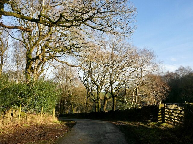
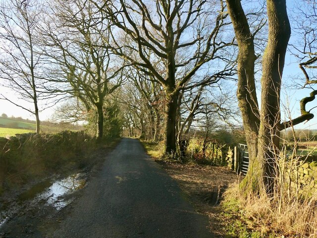
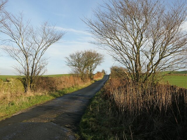
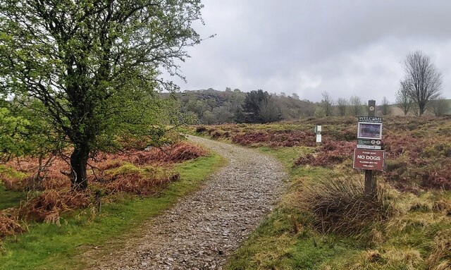
The valley is characterized by its rolling hills, lush green fields, and meandering streams. It is a haven for nature enthusiasts, offering ample opportunities for hiking, walking, and wildlife spotting. Visitors can explore the numerous footpaths that crisscross the valley, allowing them to immerse themselves in the stunning landscapes and enjoy breathtaking views.
Little Windy Clough is also home to a diverse range of flora and fauna. The valley boasts an array of plant species, including vibrant wildflowers, ancient oak trees, and ferns that thrive in the damp and shady areas. It is a haven for birdwatchers, as various species of birds can be spotted, such as the charming song thrush and the elusive tawny owl.
The valley is steeped in history and holds significance for both locals and history enthusiasts. It is rumored to have been a site of ancient settlements, with traces of human activity dating back centuries. The remnants of old stone walls and ancient burial mounds can still be seen, serving as a reminder of the valley's rich past.
In conclusion, Little Windy Clough is a hidden gem in Lancashire, offering visitors a peaceful retreat and a chance to connect with nature. Its stunning landscapes, diverse wildlife, and historical significance make it a must-visit destination for anyone seeking tranquility and natural beauty.
If you have any feedback on the listing, please let us know in the comments section below.
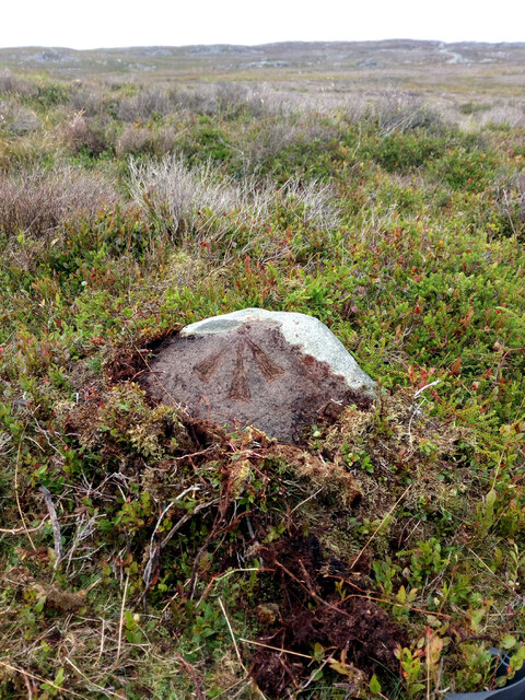
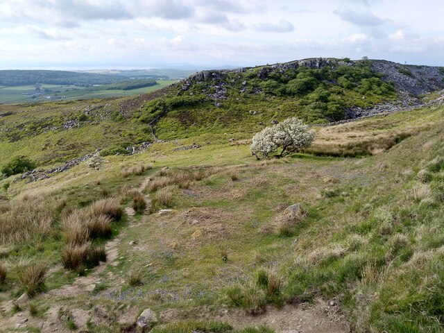
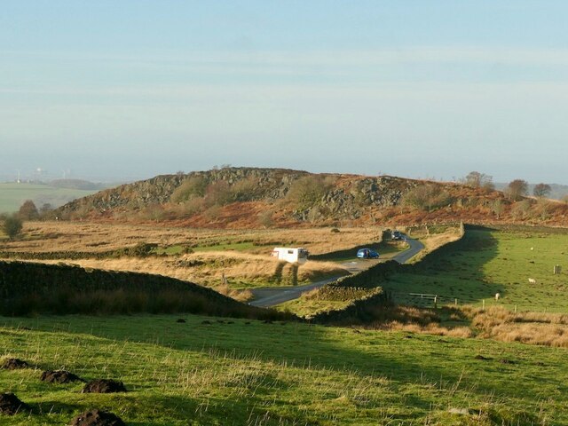
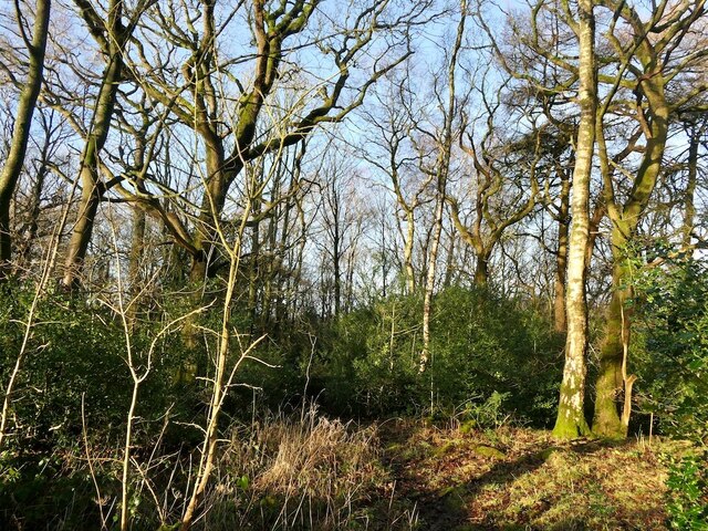
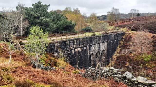
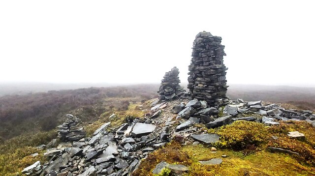
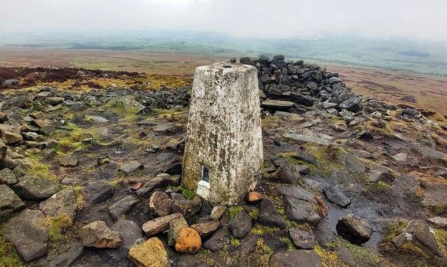
Little Windy Clough Images
Images are sourced within 2km of 54.036704/-2.7088308 or Grid Reference SD5360. Thanks to Geograph Open Source API. All images are credited.


Little Windy Clough is located at Grid Ref: SD5360 (Lat: 54.036704, Lng: -2.7088308)
Administrative County: Lancashire
District: Lancaster
Police Authority: Lancashire
What 3 Words
///towel.geek.incurs. Near Caton, Lancashire
Nearby Locations
Related Wikis

Clougha Pike
Clougha Pike ( KLUUF-ə) is a hill in the Forest of Bowland in Lancashire, England. From the west it looms over the Conder Valley, the city of Lancaster...

St Peter's Church, Quernmore
St Peter's Church is in the village of Quernmore, Lancashire, England. It is an active Anglican parish church in the deanery of Lancaster and Morecambe...

Quernmore
Quernmore (pronounced KWOR-mər) is a village and civil parish in the City of Lancaster in Lancashire, England. It is located about 3 miles (5 km) east...

Grit Fell
Grit Fell is a lonely hill between Clougha Pike and Ward's Stone in the Forest of Bowland in Lancashire, England. Covered by heather and large bogs, it...
Nearby Amenities
Located within 500m of 54.036704,-2.7088308Have you been to Little Windy Clough?
Leave your review of Little Windy Clough below (or comments, questions and feedback).