Bay Bottom

Valley in Lancashire South Lakeland

England

Bay Bottom

Moorhouse Farm After a generally dull day, a burst of afternoon sunshine picks out the fells beyond Moorhouse Farm.
Moorhouse Farm Credit: Stephen McKay

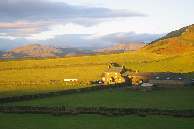
Bay Bottom is a picturesque valley located in the county of Lancashire, England. Nestled amidst the rolling hills, this charming area is known for its unspoiled natural beauty and tranquil atmosphere.

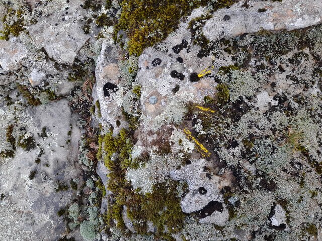
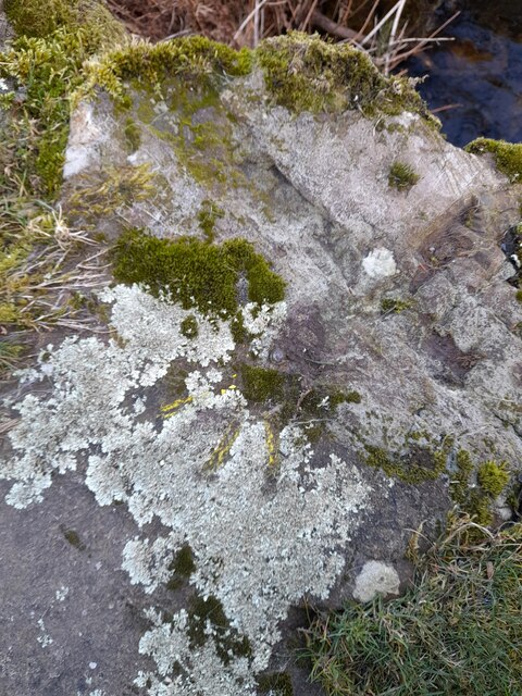
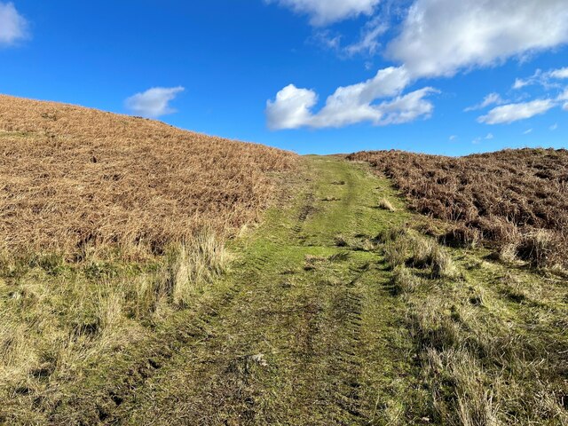
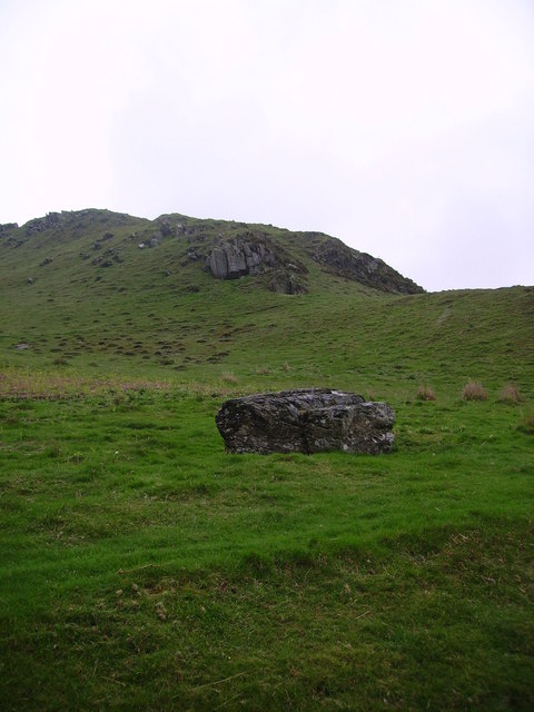
The valley is flanked by lush green meadows and dense woodlands, creating a breathtaking landscape that attracts nature lovers and outdoor enthusiasts from far and wide. The River Bay, from which the valley takes its name, meanders through the area, adding to the serene ambiance.

Bay Bottom is renowned for its diverse wildlife, making it a haven for birdwatchers and wildlife photographers. Visitors can spot a wide variety of bird species, including kingfishers, herons, and ducks, as they explore the valley. The surrounding woodland is home to deer, rabbits, and other small mammals, providing ample opportunities for nature enthusiasts to observe and appreciate the local fauna.

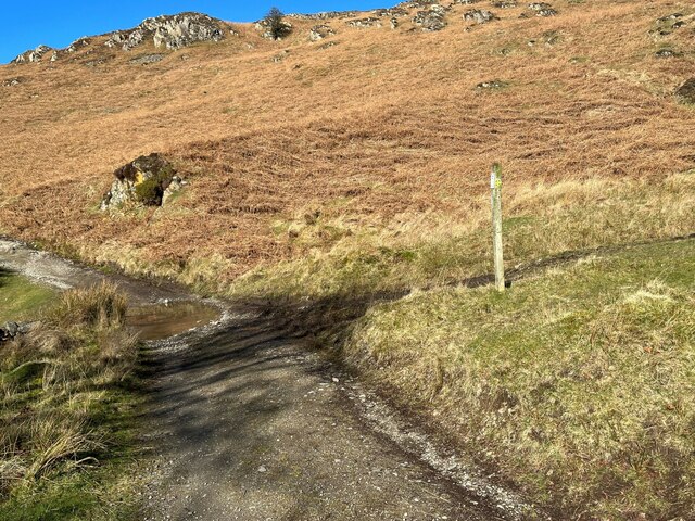
For those seeking outdoor activities, Bay Bottom offers numerous walking trails and hiking routes, catering to all levels of fitness. The valley boasts several well-maintained paths that wind through the countryside, providing stunning views of the valley and its surroundings. These trails also offer access to nearby attractions such as secluded picnic spots, ancient ruins, and charming villages.

Bay Bottom is an idyllic destination for those seeking a peaceful retreat in the heart of Lancashire. Its natural beauty, diverse wildlife, and range of outdoor activities make it a must-visit location for nature enthusiasts and those looking to escape the bustle of city life.

If you have any feedback on the listing, please let us know in the comments section below.
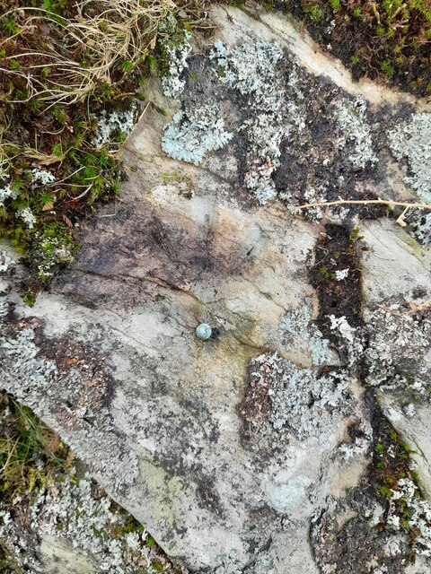
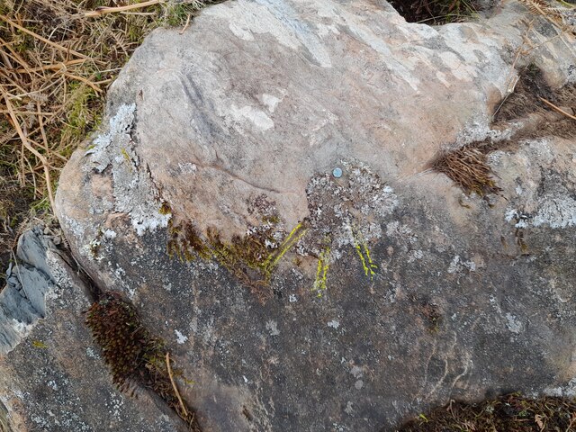
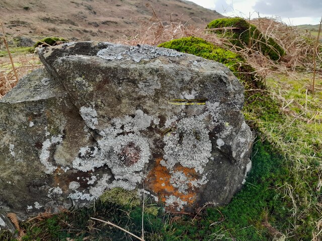
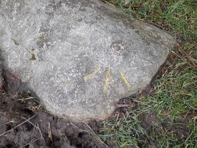
Bay Bottom Images

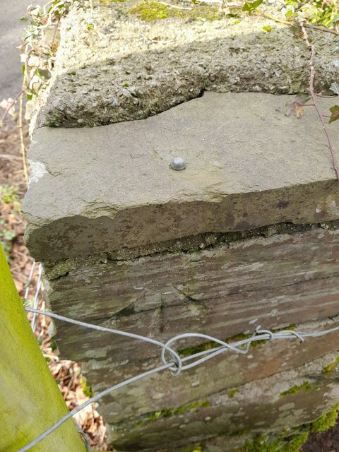
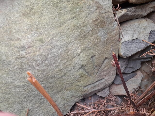
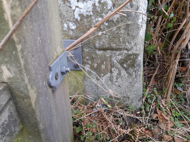
Images are sourced within 2km of 54.26804/-3.1235165 or Grid Reference SD2686. Thanks to Geograph Open Source API. All images are credited.

Moorhouse Farm After a generally dull day, a burst of afternoon sunshine picks out the fells beyond Moorhouse Farm.
Moorhouse Farm
After a generally dull day, a burst of afternoon sunshine picks out the fells beyond Moorhouse Farm.
Ordnance Survey Rivet This OS rivet can be found on a rock south side of the road. It marks a point 200.156m above mean sea level.
Ordnance Survey Rivet
This OS rivet can be found on a rock south side of the road. It marks a point 200.156m above mean sea level.
Ordnance Survey Cut Mark This OS cut mark can be found on the wall north side of the road. It marks a point 196.374m above mean sea level.
Ordnance Survey Cut Mark
This OS cut mark can be found on the wall north side of the road. It marks a point 196.374m above mean sea level.
Remains of OSBM Bolt The hole and remains of bolt thread can be found on a large boulder in field wall. It marked a point 170.505m above mean sea level.
Remains of OSBM Bolt
The hole and remains of bolt thread can be found on a large boulder in field wall. It marked a point 170.505m above mean sea level.
Ordnance Survey Rivet This OS rivet can be found on the rock south side of the road. It marks a point 202.140m above mean sea level.
Ordnance Survey Rivet
This OS rivet can be found on the rock south side of the road. It marks a point 202.140m above mean sea level.
Ordnance Survey Rivet This OS rivet can be found on a rock south side of the road. It marks a point 124.383m above mean sea level.
Ordnance Survey Rivet
This OS rivet can be found on a rock south side of the road. It marks a point 124.383m above mean sea level.
Ordnance Survey Cut Mark This OS cut mark can be found on a rock south side of the road. It marks a point 126.204m above mean sea level.
Ordnance Survey Cut Mark
This OS cut mark can be found on a rock south side of the road. It marks a point 126.204m above mean sea level.
Ordnance Survey Rivet This OS rivet can be found on a boulder east side of the road. It marks a point 139.317m above mean sea level.
Ordnance Survey Rivet
This OS rivet can be found on a boulder east side of the road. It marks a point 139.317m above mean sea level.
Ordnance Survey Rivet This OS rivet can be found on boulder SW side of the track. It marks a point 133.905m above mean sea level.
Ordnance Survey Rivet
This OS rivet can be found on boulder SW side of the track. It marks a point 133.905m above mean sea level.
Ordnance Survey Rivet This OS rivet can be found on the culvert NE side of the road. It marks a point 124.724m above mean sea level.
Ordnance Survey Rivet
This OS rivet can be found on the culvert NE side of the road. It marks a point 124.724m above mean sea level.
Ordnance Survey Rivet This damaged OS rivet can be found on the rock NE side of the road. It marks a point 124.942m above mean sea level.
Ordnance Survey Rivet
This damaged OS rivet can be found on the rock NE side of the road. It marks a point 124.942m above mean sea level.
Ordnance Survey Rivet This OS rivet can be found on a rock south side of the road. It marks a point 75,204m above mean sea level.
Ordnance Survey Rivet
This OS rivet can be found on a rock south side of the road. It marks a point 75,204m above mean sea level.
Ordnance Survey Rivet This OS rivet can be found on the NE parapet of the bridge. It marks a point 61.586m above mean sea level.
Ordnance Survey Rivet
This OS rivet can be found on the NE parapet of the bridge. It marks a point 61.586m above mean sea level.
Ordnance Survey Cut Mark This inverted OS cut mark can be found on the wall at the road junction. It marked a point 78.502m above mean sea level.
Ordnance Survey Cut Mark
This inverted OS cut mark can be found on the wall at the road junction. It marked a point 78.502m above mean sea level.
Ordnance Survey Cut Mark This OS cut mark can be found on the gatepost NW side of the road. It marks a point 100.760m above mean sea level.
Ordnance Survey Cut Mark
This OS cut mark can be found on the gatepost NW side of the road. It marks a point 100.760m above mean sea level.
Ordnance Survey Cut Mark This OS cut mark can be found on the wall SW side of the road. It marks a point 182.310m above mean sea level.
Ordnance Survey Cut Mark
This OS cut mark can be found on the wall SW side of the road. It marks a point 182.310m above mean sea level.
The Cumbria Way, Tottlebank The main track is the public bridleway from Tottlebank to Heathwaite; the track to the right is a public footpath to Cockenskell.
Northbound walkers following The Cumbria Way turn right here to follow the footpath up the hill (next photograph <a href="https://www.geograph.org.uk/photo/7428087">SD2688 : The Cumbria Way, Tottlebank</a>).
The Cumbria Way, Tottlebank
The main track is the public bridleway from Tottlebank to Heathwaite; the track to the right is a public footpath to Cockenskell. Northbound walkers following The Cumbria Way turn right here to follow the footpath up the hill (next photograph SD2688 : The Cumbria Way, Tottlebank).
Public footpath near Tottlebank This footpath is the route of The Cumbria Way over the open fell between Tottlebank Farm and Cockenskell (next photograph <a href="https://www.geograph.org.uk/photo/7432849">SD2788 : Public footpath near Tottlebank</a>).
Public footpath near Tottlebank
This footpath is the route of The Cumbria Way over the open fell between Tottlebank Farm and Cockenskell (next photograph SD2788 : Public footpath near Tottlebank).
Show me another place!

Bay Bottom is located at Grid Ref: SD2686 (Lat: 54.26804, Lng: -3.1235165)

Administrative County: Cumbria

District: South Lakeland

Police Authority: Cumbria

What 3 Words

///perplexed.meal.slurred. Near Ulverston, Cumbria

Related Wikis

Burney (hill)

Burney is a hill in Cumbria, England, to the north of the A5092 road between Greenodd and Broughton-in-Furness. It is the subject of a chapter of Wainwright...

Gawthwaite

Gawthwaite is a village in Cumbria, England. It is located along the A5092 road, 4.8 miles (7.7 km) north of Ulverston. It is on the Grize Beck stream...

Blawith Knott

Blawith Knott is a hill in the south of the English Lake District, near Woodland, Cumbria. It is the subject of a chapter of Wainwright's book The Outlying...

Furness

Furness ( FUR-niss, fur-NESS) is a peninsula and region of Cumbria, England. Together with the Cartmel Peninsula it forms North Lonsdale, historically...

Nearby Amenities

Located within 500m of 54.26804,-3.1235165
Barrier: stile
Lat/Long: 54.2704485/-3.1227308
Bay Bottom
Place: locality
Lat/Long: 54.2700529/-3.1226934
Ford: yes
Lat/Long: 54.2693035/-3.1201536
Ford: yes
Lat/Long: 54.2650755/-3.128376
Barrier: cattle_grid
Lat/Long: 54.2680839/-3.1165521
Power: pole
Lat/Long: 54.2696245/-3.1169267
Power: pole
Lat/Long: 54.2687237/-3.117345
Power: pole
Lat/Long: 54.2724088/-3.124321
Power: pole
Lat/Long: 54.2720521/-3.1249937
The data included in this document is from www.openstreetmap.org. The data is made available under ODbL.

Have you been to Bay Bottom?

Leave your review of Bay Bottom below (or comments, questions and feedback).