Gelli Dingle
Valley in Montgomeryshire
Wales
Gelli Dingle

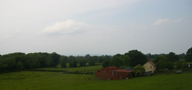
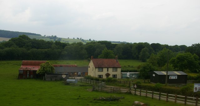
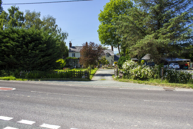
Gelli Dingle is a small valley located in Montgomeryshire, a historic county in mid-Wales. Nestled amidst the picturesque landscape of the Welsh countryside, this tranquil valley is a haven for nature lovers and those seeking a peaceful retreat.
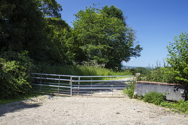
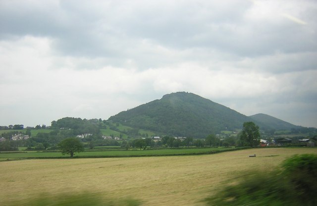
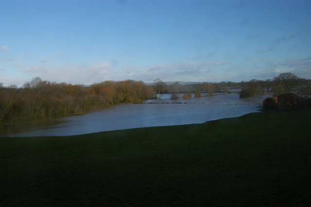
The valley is characterized by its rolling hills, lush green meadows, and dense woodland, creating a stunning backdrop for outdoor activities such as hiking, birdwatching, and photography. The meandering River Gelli flows through the valley, adding to its natural charm and providing a serene environment for fishing or simply enjoying a leisurely stroll along its banks.
Gelli Dingle is home to a diverse array of flora and fauna, including native Welsh oak trees, bluebells, and foxgloves. The valley's rich biodiversity attracts a variety of bird species, including red kites, buzzards, and kingfishers, making it a popular destination for birdwatchers.
Although predominantly rural, Gelli Dingle is within close proximity to the nearby town of Montgomery, where visitors can find amenities such as shops, restaurants, and accommodations. The town is also notable for its historic castle, which dates back to the 13th century and offers captivating insights into the region's past.
Overall, Gelli Dingle provides a peaceful and idyllic escape from the hustle and bustle of modern life, offering visitors a chance to reconnect with nature and explore the beauty of rural Montgomeryshire.
If you have any feedback on the listing, please let us know in the comments section below.
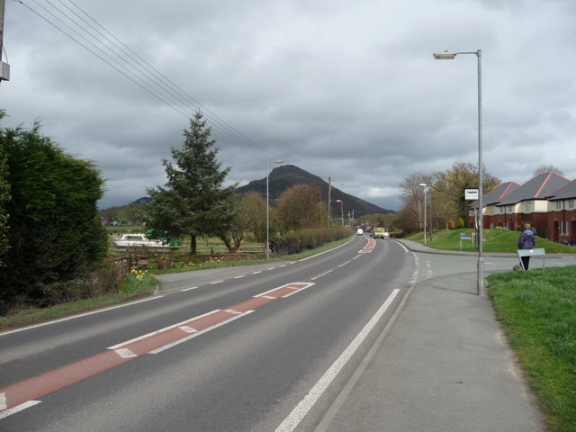
Gelli Dingle Images
Images are sourced within 2km of 52.674121/-3.082697 or Grid Reference SJ2609. Thanks to Geograph Open Source API. All images are credited.


Gelli Dingle is located at Grid Ref: SJ2609 (Lat: 52.674121, Lng: -3.082697)
Unitary Authority: Powys
Police Authority: Dyfed Powys
What 3 Words
///toenail.aboard.chairs. Near Welshpool, Powys
Nearby Locations
Related Wikis

Battle of Buttington
The Battle of Buttington was fought in 893 between a Viking army and an alliance of Anglo-Saxons and Welsh. The annals for 893 reported that a large Viking...
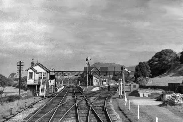
Buttington railway station
Buttington railway station was a station in Buttington, Powys, Wales. The station was opened in November 1860, several months after the line that served...
Buttington Oak
The Buttington Oak was a tree near to Offa's Dyke at Buttington, Wales, said to have been planted to mark the site of the Battle of Buttington between...
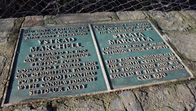
Strata Marcella
The Abbey of Strata Marcella (Welsh: Abaty Ystrad Marchell) was a medieval Cistercian monastery situated at Ystrad Marchell (Strata Marcella being the...
Nearby Amenities
Located within 500m of 52.674121,-3.082697Have you been to Gelli Dingle?
Leave your review of Gelli Dingle below (or comments, questions and feedback).