Sconce Cleuch
Valley in Selkirkshire
Scotland
Sconce Cleuch

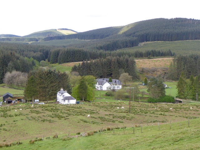
Sconce Cleuch is a picturesque valley located in Selkirkshire, Scotland. Nestled amidst the lush green hills and rolling landscapes, this valley offers breathtaking views and a tranquil atmosphere. It is situated near the village of Ettrick, approximately 12 miles southwest of Selkirk.
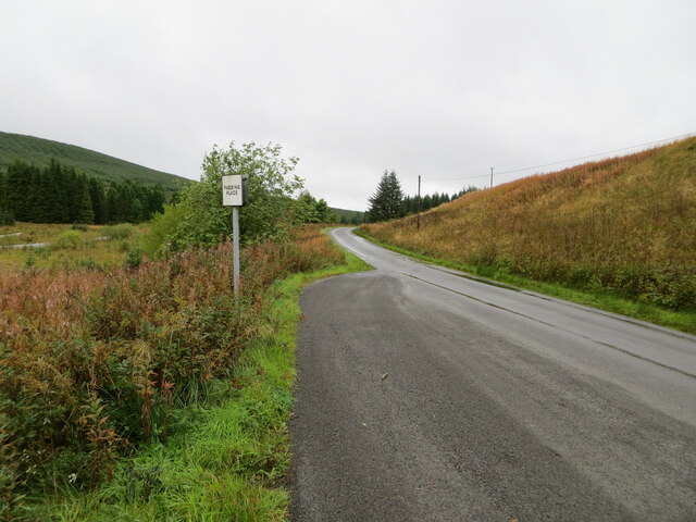
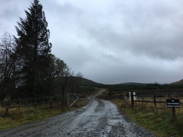
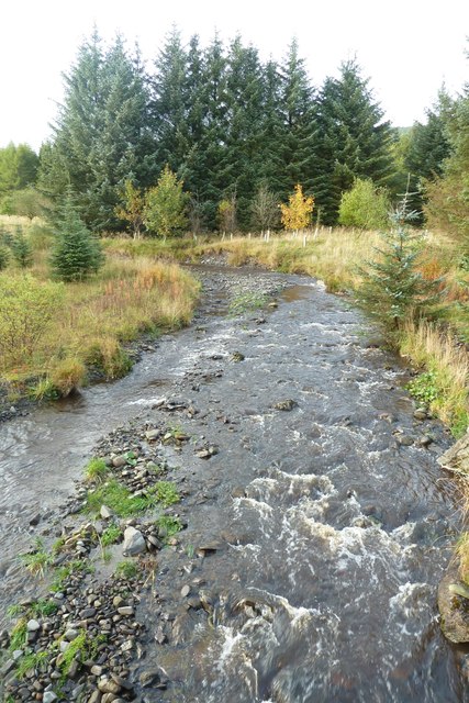
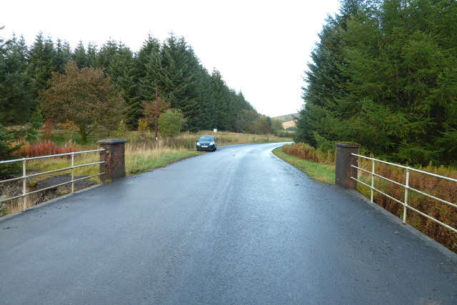
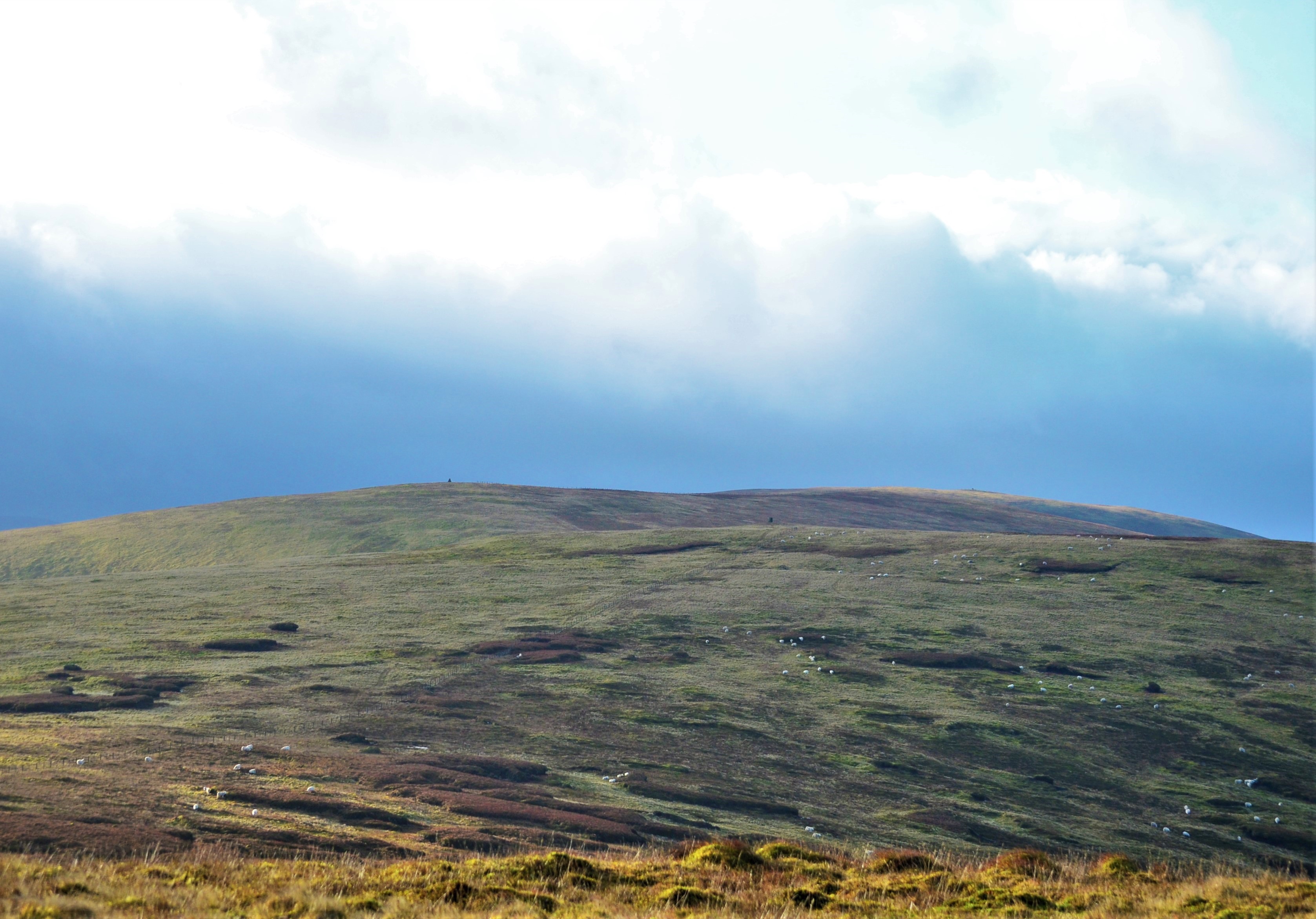
The valley is renowned for its natural beauty and is a haven for outdoor enthusiasts. It is home to a diverse range of flora and fauna, including wildflowers, heather, and various bird species. Walking and hiking trails crisscross the valley, allowing visitors to explore its scenic beauty at their own pace. The clear streams and rivers that flow through the valley also provide opportunities for fishing and picnicking.
Sconce Cleuch has a rich history, with evidence of human activity dating back centuries. Ruins of ancient settlements, stone circles, and burial mounds can be found in the surrounding area, offering a glimpse into the valley's past. The valley's name, "Sconce Cleuch," has its origins in the Old English language, meaning "ravine with a fortification."
Despite its remote location, Sconce Cleuch is easily accessible by car or public transportation. Nearby amenities include a visitor center, where tourists can obtain information about the valley and its surroundings. The valley's proximity to other attractions, such as the Ettrick Forest and the Southern Upland Way, also makes it an ideal base for further exploration.
Overall, Sconce Cleuch, Selkirkshire, is a hidden gem that showcases the natural beauty and rich history of the Scottish countryside. Whether it's for a peaceful stroll, an adventure-filled hike, or a glimpse into the past, this valley has something to offer every visitor.
If you have any feedback on the listing, please let us know in the comments section below.
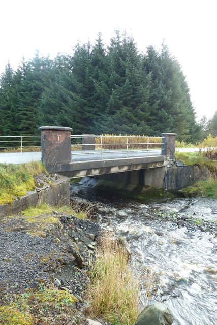
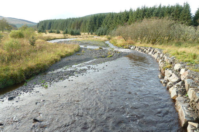
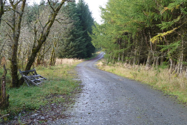
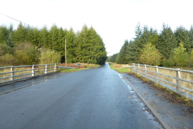
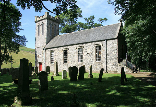
Sconce Cleuch Images
Images are sourced within 2km of 55.377304/-3.1544803 or Grid Reference NT2609. Thanks to Geograph Open Source API. All images are credited.


Sconce Cleuch is located at Grid Ref: NT2609 (Lat: 55.377304, Lng: -3.1544803)
Unitary Authority: The Scottish Borders
Police Authority: The Lothians and Scottish Borders
What 3 Words
///chambers.generally.voucher. Near Ettrick, Scottish Borders
Nearby Locations
Related Wikis
Ettrick, Scotland
Ettrick (Scottish Gaelic: Eadaraig, IPA: [ˈet̪əɾɪkʲ]) is a small village and civil parish in the Scottish Borders area of Scotland. It is located on the...
Buccleuch, Scottish Borders
East and West Buccleuch ( bə-KLOO) are two homesteads in the Scottish Borders, in the Ettrick parish of historic Selkirkshire. They are located off the...

Ettrick Pen
Ettrick Pen is a hill in the Ettrick Hills range, part of the Southern Uplands of Scotland. A remote peak, It lies southwest of the village of Ettrick...

Craik Forest
Craik Forest is a forest near Hawick in the Scottish Borders area of Scotland, and managed by the Forestry Commission. It is adjoined to the south-west...

Eskdalemuir Observatory
The Eskdalemuir Observatory is a UK national environmental observatory located near Eskdalemuir, Dumfries and Galloway, Scotland. Along with Lerwick and...

Tushielaw Tower
Tushielaw Tower is a 16th-century tower house, about 2.5 miles (4.0 km) north and east of Ettrick, Scottish Borders, Scotland, and west of Ettrick Water...

Craik, Scottish Borders
Craik is a hamlet in Craik Forest, by the Airhouse Burn in the Scottish Borders area of Scotland, close to Roberton, Scottish Borders (grid reference NT348084...
Andrewhinney Hill
Andrewhinney Hill is a hill in the Ettrick Hills range, part of the Southern Uplands of Scotland. It is the highest summit of a ridge that runs parallel...
Have you been to Sconce Cleuch?
Leave your review of Sconce Cleuch below (or comments, questions and feedback).