Subberthwaite Common
Downs, Moorland in Lancashire South Lakeland
England
Subberthwaite Common
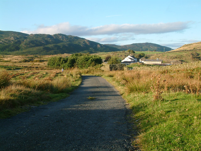
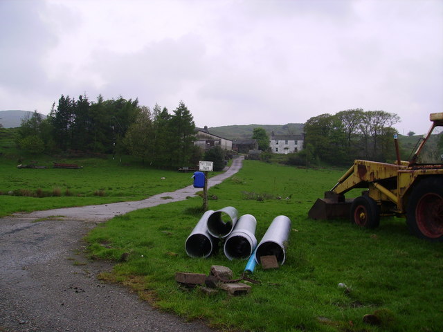
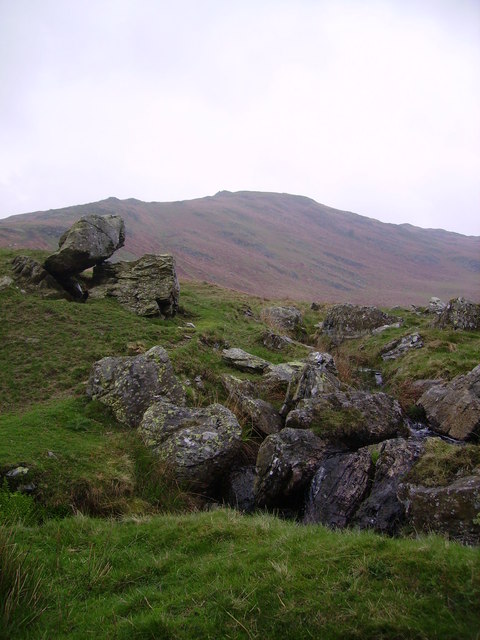
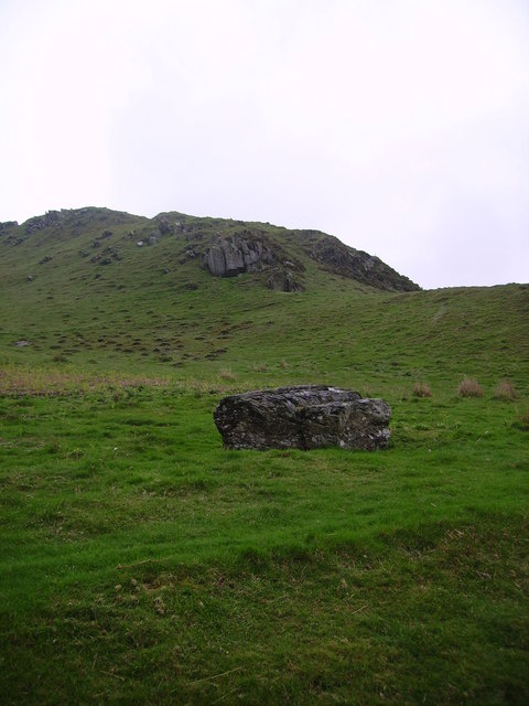
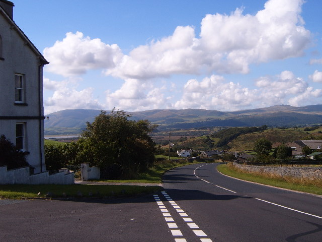
Subberthwaite Common is a vast expanse of moorland located in the county of Lancashire, England. Situated in the southern part of the county, it offers a picturesque and serene landscape that spans over hundreds of hectares. The common is nestled within the beautiful Furness Fells, providing visitors with breathtaking views of the surrounding hills and valleys.
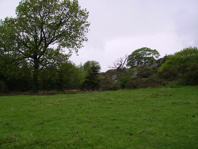
Characterized by its rolling hills and open spaces, Subberthwaite Common offers a diverse range of flora and fauna. The moorland is covered in heather, creating a stunning purple carpet during the summer months. This habitat attracts a variety of bird species, including the elusive merlin, golden plover, and curlew.
The common is also home to several species of mammals, such as red deer, hares, and rabbits. Visitors may even spot the occasional red fox or stoat darting through the undergrowth. The area is a haven for nature enthusiasts and photographers, providing ample opportunities for capturing the beauty of the natural world.
Access to Subberthwaite Common is facilitated by a network of walking trails, allowing visitors to explore its vast expanse. These trails provide a unique opportunity to experience the tranquility of the moorland and take in the panoramic views. As a designated Area of Outstanding Natural Beauty, the common is protected and preserved for future generations to enjoy.
Overall, Subberthwaite Common offers a peaceful retreat from the hustle and bustle of everyday life. Its stunning landscapes, diverse wildlife, and walking trails make it a must-visit destination for nature lovers and those seeking solace in the beauty of Lancashire's countryside.
If you have any feedback on the listing, please let us know in the comments section below.
Subberthwaite Common Images
Images are sourced within 2km of 54.268363/-3.1293448 or Grid Reference SD2686. Thanks to Geograph Open Source API. All images are credited.


Subberthwaite Common is located at Grid Ref: SD2686 (Lat: 54.268363, Lng: -3.1293448)
Administrative County: Cumbria
District: South Lakeland
Police Authority: Cumbria
What 3 Words
///ketchup.whips.washable. Near Ulverston, Cumbria
Nearby Locations
Related Wikis
Burney (hill)
Burney is a hill in Cumbria, England, to the north of the A5092 road between Greenodd and Broughton-in-Furness. It is the subject of a chapter of Wainwright...

Gawthwaite
Gawthwaite is a village in Cumbria, England. It is located along the A5092 road, 4.8 miles (7.7 km) north of Ulverston. It is on the Grize Beck stream...

Blawith Knott
Blawith Knott is a hill in the south of the English Lake District, near Woodland, Cumbria. It is the subject of a chapter of Wainwright's book The Outlying...
Beanthwaite
Beanthwaite is a hamlet in Cumbria, England.
Nearby Amenities
Located within 500m of 54.268363,-3.1293448Have you been to Subberthwaite Common?
Leave your review of Subberthwaite Common below (or comments, questions and feedback).