Aughertree Fell
Downs, Moorland in Cumberland Allerdale
England
Aughertree Fell

Aughertree Fell is a picturesque area located in the county of Cumberland in northwest England. It is a part of the expansive countryside that encompasses the Cumberland Downs and Moorland. The fell is nestled within the Lake District National Park, renowned for its stunning landscapes and diverse wildlife.
Aughertree Fell is characterized by its rolling hills, vast heather moorlands, and ancient woodlands. The terrain is predominantly hilly, offering visitors breathtaking panoramic views of the surrounding countryside. The area is crisscrossed by numerous footpaths and trails, making it a popular destination for hikers, nature enthusiasts, and those seeking tranquility in a natural setting.
The fell is home to a rich variety of flora and fauna. The heather-covered moorlands provide a habitat for rare bird species, including merlins, curlews, and red grouse. The woodlands are populated by oak, birch, and rowan trees, among others, creating a haven for woodland creatures such as deer, foxes, and badgers.
Aughertree Fell also boasts several historical and cultural landmarks. The nearby Aughertree Stone Circle, a prehistoric monument, attracts archaeology enthusiasts and those interested in ancient civilizations. The fell is also dotted with remnants of old mining activities, serving as a reminder of the area's industrial past.
Overall, Aughertree Fell in Cumberland offers visitors a chance to immerse themselves in the beauty of the English countryside, with its idyllic landscapes, abundant wildlife, and glimpses into the region's rich history.
If you have any feedback on the listing, please let us know in the comments section below.
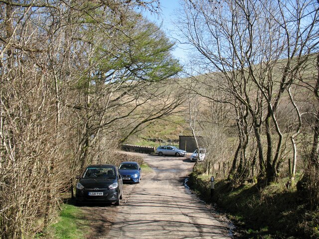
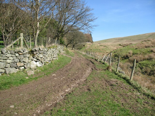
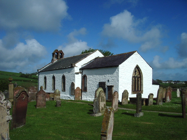
Aughertree Fell Images
Images are sourced within 2km of 54.729425/-3.142257 or Grid Reference NY2637. Thanks to Geograph Open Source API. All images are credited.


Aughertree Fell is located at Grid Ref: NY2637 (Lat: 54.729425, Lng: -3.142257)
Administrative County: Cumbria
District: Allerdale
Police Authority: Cumbria
What 3 Words
///passport.streaking.diamonds. Near Wigton, Cumbria
Nearby Locations
Related Wikis

Aughertree
Aughertree ( AF-ər-tree) is a village in northern Cumbria, England. It is situated near to the villages of Caldbeck and Torpenhow, but closer to the main...
Uldale
Uldale is a small village and former civil parish in the Cumberland district, in the ceremonial county of Cumbria, England. It is about 5 miles (8 km)...

Sandale transmitting station
The Sandale transmitting station is the main radio transmitting station for the county of Cumbria, including the Lake District, and eastern Dumfries and...

Chapelhouse Reservoir
Chapelhouse Reservoir is a water reservoir near Uldale in Cumbria, England. == History == The reservoir, which is around 435 metres (1,427 ft) long, was...

Ireby and Uldale
Ireby and Uldale is a civil parish in the English county of Cumbria forming part of the district of Allerdale. The population, including Bewaldeth and...

Longlands Fell
Longlands Fell is a small fell in the northern part of the English Lake District. It is situated in the high ground known as the Uldale Fells, 5.5 kilometres...

Ireby, Cumbria
Ireby is a village in Cumbria, England with a population of around 180. Between 1974 and 2023, it was in Allerdale district, Cumbria. Since April 2023...

Over Water
Over Water is a small lake or tarn in the north of the English Lake District, southwest of the hamlet of Longlands. Binsey, Great Cockup and Longlands...
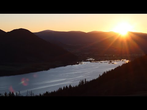
Related Videos

Great Sca Fell : Labelled Summit View Panorama : Lake District Hikes & Walking - Northern Fells
A slow 360 degree panorama from the summit of Great Sca Fell in the Uldale region of the Lake District. All main view points ...
Lothwaite: Kickstarting 2023 with a Sunrise Summit in the Lake District
Kickstarting the year with a sunrise summit! Ok so maybe it is a day late but the weather looked too overcast on Jan 1st. So instead ...
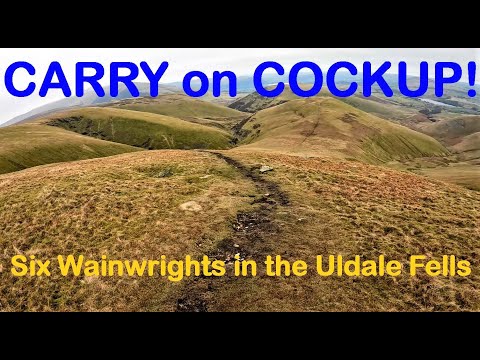
Carry On Cockup! A Six Wainwright Horseshoe in the Uldale Fells.
FREE parking at Longlands, I head up to the first of 6 Wainwrights around the Uldale Fells - Great Cockup! Swiftly realising my first ...

Longlands Fell: A Misty wainwright walk in the Lake District
Created with Wondershare Filmora.
Nearby Amenities
Located within 500m of 54.729425,-3.142257Have you been to Aughertree Fell?
Leave your review of Aughertree Fell below (or comments, questions and feedback).