Crake Birk Wood

Wood, Forest in Lancashire South Lakeland

England

Crake Birk Wood

Ordnance Survey Rivet This OS rivet can be found on a rock south side of the road. It marks a point 124.383m above mean sea level.
Ordnance Survey Rivet Credit: Adrian Dust

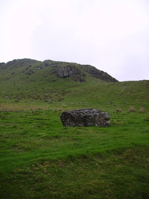
Crake Birk Wood is a picturesque forest located in Lancashire, England. Nestled within the beautiful countryside, this woodland area covers an approximate area of 200 acres. The forest is primarily comprised of a diverse range of tree species, including oak, beech, and birch, which create a dense and verdant canopy overhead.

The wood is known for its tranquil and peaceful atmosphere, making it a popular destination for nature lovers and hikers alike. The well-maintained network of walking trails allows visitors to explore the forest at their own pace, immersing themselves in its natural beauty. Along these paths, one can find various flora and fauna, from vibrant wildflowers to an array of bird species that make the forest their home.

Crake Birk Wood has a rich history that dates back centuries. It was originally used as a hunting ground for the local nobility, and evidence of this can still be seen in the form of ancient stone walls and hunting lodges scattered throughout the forest. Today, these remnants serve as a reminder of the area's cultural heritage.

The forest is also a haven for wildlife, providing a habitat for numerous species. Deer, foxes, and squirrels are commonly sighted, and the forest is home to a diverse range of birdlife, including woodpeckers and owls. This makes Crake Birk Wood a popular spot for birdwatching enthusiasts.

Overall, Crake Birk Wood offers a serene and enchanting escape from the hustle and bustle of daily life. Its natural beauty, rich history, and abundant wildlife make it a must-visit destination for anyone seeking a peaceful retreat in Lancashire.

If you have any feedback on the listing, please let us know in the comments section below.

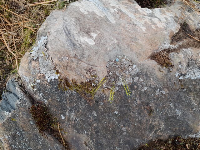
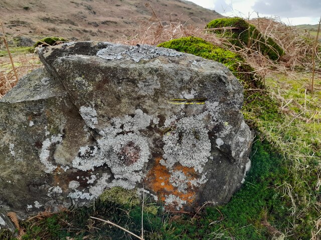
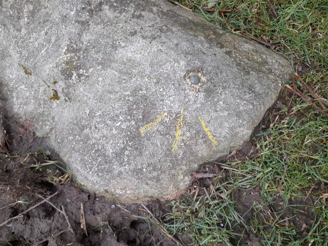
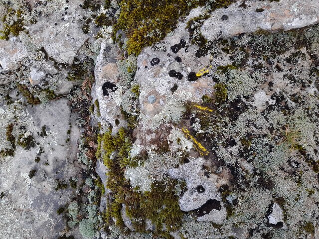
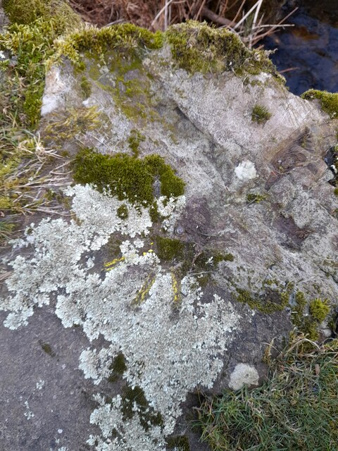
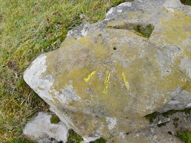
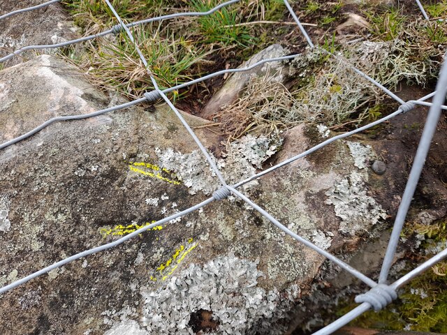
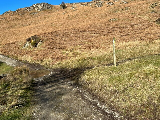
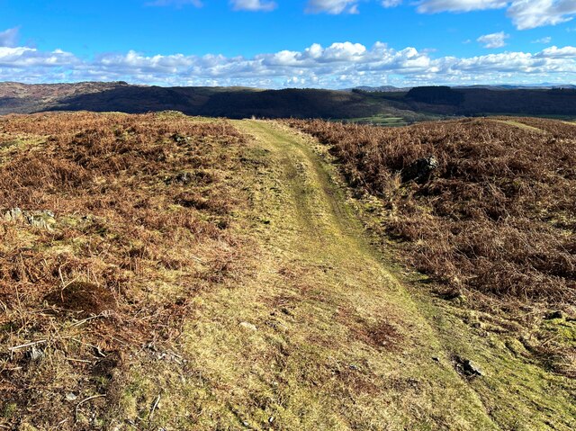
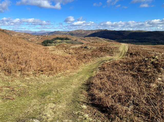
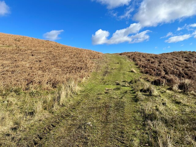
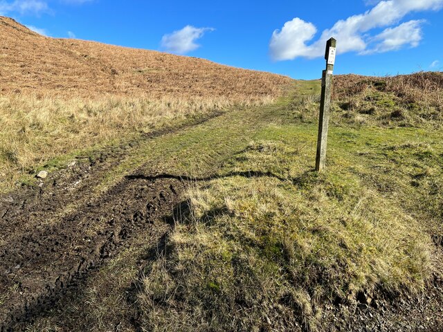
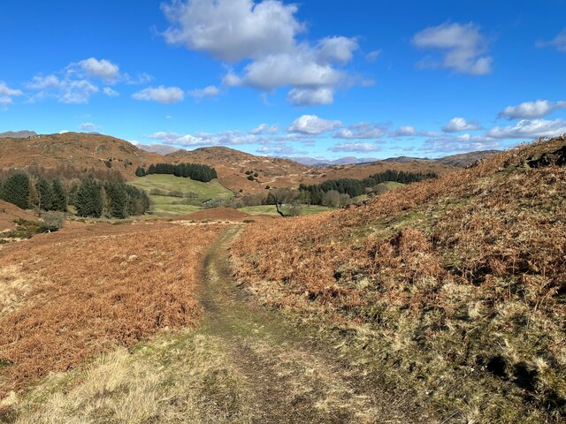
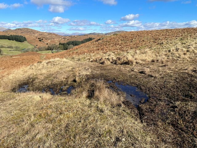
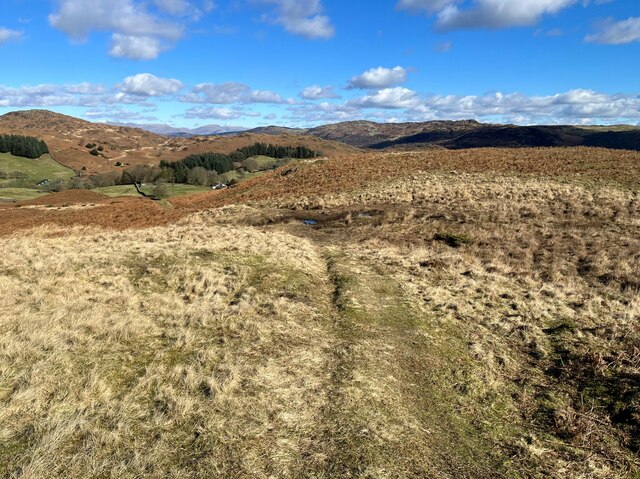
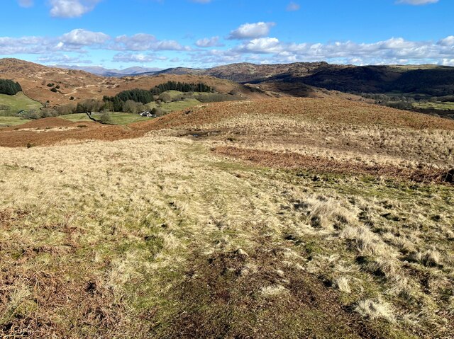
Crake Birk Wood Images

Images are sourced within 2km of 54.272905/-3.1270887 or Grid Reference SD2686. Thanks to Geograph Open Source API. All images are credited.

Ordnance Survey Rivet This OS rivet can be found on a rock south side of the road. It marks a point 124.383m above mean sea level.
Ordnance Survey Rivet
This OS rivet can be found on a rock south side of the road. It marks a point 124.383m above mean sea level.
Ordnance Survey Cut Mark This OS cut mark can be found on a rock south side of the road. It marks a point 126.204m above mean sea level.
Ordnance Survey Cut Mark
This OS cut mark can be found on a rock south side of the road. It marks a point 126.204m above mean sea level.
Ordnance Survey Rivet This OS rivet can be found on a boulder east side of the road. It marks a point 139.317m above mean sea level.
Ordnance Survey Rivet
This OS rivet can be found on a boulder east side of the road. It marks a point 139.317m above mean sea level.
Ordnance Survey Rivet This OS rivet can be found on boulder SW side of the track. It marks a point 133.905m above mean sea level.
Ordnance Survey Rivet
This OS rivet can be found on boulder SW side of the track. It marks a point 133.905m above mean sea level.
Ordnance Survey Rivet This OS rivet can be found on the culvert NE side of the road. It marks a point 124.724m above mean sea level.
Ordnance Survey Rivet
This OS rivet can be found on the culvert NE side of the road. It marks a point 124.724m above mean sea level.
Ordnance Survey Rivet This damaged OS rivet can be found on the rock NE side of the road. It marks a point 124.942m above mean sea level.
Ordnance Survey Rivet
This damaged OS rivet can be found on the rock NE side of the road. It marks a point 124.942m above mean sea level.
Ordnance Survey Rivet This OS rivet can be found on a rock south side of the road. It marks a point 75,204m above mean sea level.
Ordnance Survey Rivet
This OS rivet can be found on a rock south side of the road. It marks a point 75,204m above mean sea level.
The Cumbria Way, Tottlebank The main track is the public bridleway from Tottlebank to Heathwaite; the track to the right is a public footpath to Cockenskell.
Northbound walkers following The Cumbria Way turn right here to follow the footpath up the hill (next photograph <a href="https://www.geograph.org.uk/photo/7428087">SD2688 : The Cumbria Way, Tottlebank</a>).
The Cumbria Way, Tottlebank
The main track is the public bridleway from Tottlebank to Heathwaite; the track to the right is a public footpath to Cockenskell. Northbound walkers following The Cumbria Way turn right here to follow the footpath up the hill (next photograph SD2688 : The Cumbria Way, Tottlebank).
Path on Tottlebank Height This path is the route of The Cumbria Way over the open fell between Tottlebank Farm and Cockenskell (next photograph <a href="https://www.geograph.org.uk/photo/7432096">SD2788 : The Cumbria Way near The Low</a>).
Path on Tottlebank Height
This path is the route of The Cumbria Way over the open fell between Tottlebank Farm and Cockenskell (next photograph SD2788 : The Cumbria Way near The Low).
Path on Tottlebank Height This undulating path is the route of The Cumbria Way over the open fell between Tottlebank Farm and Cockenskell (next photograph <a href="https://www.geograph.org.uk/photo/7427169">SD2788 : Path on Tottlebank Height</a>).
Path on Tottlebank Height
This undulating path is the route of The Cumbria Way over the open fell between Tottlebank Farm and Cockenskell (next photograph SD2788 : Path on Tottlebank Height).
Public footpath near Tottlebank This footpath is the route of The Cumbria Way over the open fell between Tottlebank Farm and Cockenskell (next photograph <a href="https://www.geograph.org.uk/photo/7432849">SD2788 : Public footpath near Tottlebank</a>).
Public footpath near Tottlebank
This footpath is the route of The Cumbria Way over the open fell between Tottlebank Farm and Cockenskell (next photograph SD2788 : Public footpath near Tottlebank).
The Cumbria Way, Tottlebank This Cumbria Way leaves a public bridleway by Tottlebank Farm and follows the public footpath to Cockenskell up the hill (next photograph <a href="https://www.geograph.org.uk/photo/7428052">SD2788 : Public footpath near Tottlebank</a>).
The Cumbria Way, Tottlebank
This Cumbria Way leaves a public bridleway by Tottlebank Farm and follows the public footpath to Cockenskell up the hill (next photograph SD2788 : Public footpath near Tottlebank).
Vernacular farm buildings at Kendall Ground
Path beside Dam Moss This path is the route of The Cumbria Way, a long distance path from Ulverston to Carlisle (next photograph <a href="https://www.geograph.org.uk/photo/7430040">SD2788 : Path near Dam Moss</a>).
Path beside Dam Moss
This path is the route of The Cumbria Way, a long distance path from Ulverston to Carlisle (next photograph SD2788 : Path near Dam Moss).
The Cumbria Way, Dam Moss The public footpath from Tottlebank Farm to Cockenskell crosses the top of Dam Moss by a boggy section of path.  This is the route of The Cumbria Way (next photograph <a href="https://www.geograph.org.uk/photo/7430256">SD2788 : Path beside Dam Moss</a>).
The Cumbria Way, Dam Moss
The public footpath from Tottlebank Farm to Cockenskell crosses the top of Dam Moss by a boggy section of path. This is the route of The Cumbria Way (next photograph SD2788 : Path beside Dam Moss).
Path beside Dam Moss This path, beside the top of Dam Moss, is the route of The Cumbria Way, a long distance path from Ulverston to Carlisle (next photograph <a href="https://www.geograph.org.uk/photo/7430265">SD2788 : The Cumbria Way, Dam Moss</a>).
Path beside Dam Moss
This path, beside the top of Dam Moss, is the route of The Cumbria Way, a long distance path from Ulverston to Carlisle (next photograph SD2788 : The Cumbria Way, Dam Moss).
Path near Dam Moss This path is the route of The Cumbria Way near The Low, approaching the top of Dam Moss (next photograph <a href="https://www.geograph.org.uk/photo/7430328">SD2788 : Path beside Dam Moss</a>).
Path near Dam Moss
This path is the route of The Cumbria Way near The Low, approaching the top of Dam Moss (next photograph SD2788 : Path beside Dam Moss).
Broad path near The Low This path is the route of The Cumbria Way between Tottlebank Farm and Cockenskell (next photograph <a href="https://www.geograph.org.uk/photo/7439921">SD2788 : The Cumbria Way near The Low</a>).
Broad path near The Low
This path is the route of The Cumbria Way between Tottlebank Farm and Cockenskell (next photograph SD2788 : The Cumbria Way near The Low).
Show me another place!

Crake Birk Wood is located at Grid Ref: SD2686 (Lat: 54.272905, Lng: -3.1270887)

Administrative County: Cumbria

District: South Lakeland

Police Authority: Cumbria

What 3 Words

///renews.outlawing.broadcast. Near Ulverston, Cumbria

Related Wikis

Burney (hill)

Burney is a hill in Cumbria, England, to the north of the A5092 road between Greenodd and Broughton-in-Furness. It is the subject of a chapter of Wainwright...

Blawith Knott

Blawith Knott is a hill in the south of the English Lake District, near Woodland, Cumbria. It is the subject of a chapter of Wainwright's book The Outlying...

Gawthwaite

Gawthwaite is a village in Cumbria, England. It is located along the A5092 road, 4.8 miles (7.7 km) north of Ulverston. It is on the Grize Beck stream...

Blawith and Subberthwaite

Blawith and Subberthwaite is a civil parish in the South Lakeland district of Cumbria, England. It is situated in the Lake District National Park, and...

Nearby Amenities

Located within 500m of 54.272905,-3.1270887
Access: no
Barrier: stile
Foot: yes
Lat/Long: 54.2742255/-3.1299602
Barrier: stile
Foot: yes
Lat/Long: 54.2751422/-3.1242053
Crooked Birch
Place: hamlet
Lat/Long: 54.2741654/-3.1288194
Barrier: stile
Lat/Long: 54.2763591/-3.1273074
Barrier: stile
Lat/Long: 54.2730946/-3.1263185
Barrier: stile
Lat/Long: 54.2704485/-3.1227308
Bay Bottom
Place: locality
Lat/Long: 54.2700529/-3.1226934
Ford: yes
Lat/Long: 54.2726477/-3.1328428
Barrier: stile
Bicycle: no
Foot: yes
Horse: no
Motor Vehicle: no
Lat/Long: 54.2739309/-3.1295406
Power: pole
Lat/Long: 54.2740243/-3.1202032
Power: pole
Lat/Long: 54.274417/-3.1217612
Power: pole
Lat/Long: 54.2747904/-3.1232871
Power: pole
Lat/Long: 54.275179/-3.1248202
Power: pole
Lat/Long: 54.2755578/-3.1263295
Power: pole
Lat/Long: 54.27592/-3.1277247
Power: pole
Lat/Long: 54.275283/-3.128364
Power: pole
Lat/Long: 54.2743421/-3.1292958
Power: pole
Lat/Long: 54.2738466/-3.1232538
Power: pole
Lat/Long: 54.2729057/-3.1232586
Power: pole
Lat/Long: 54.2724088/-3.124321
Power: pole
Lat/Long: 54.2720521/-3.1249937
Power: pole
Lat/Long: 54.2762337/-3.1270591
Power: pole
Lat/Long: 54.276854/-3.1258398
The data included in this document is from www.openstreetmap.org. The data is made available under ODbL.

Have you been to Crake Birk Wood?

Leave your review of Crake Birk Wood below (or comments, questions and feedback).