Grey Stone Moss
Downs, Moorland in Lancashire South Lakeland
England
Grey Stone Moss
Grey Stone Moss is a picturesque area located in the county of Lancashire, England. Spread across the Downs and Moorland regions, it offers a serene and captivating landscape that attracts nature enthusiasts and adventurers alike.
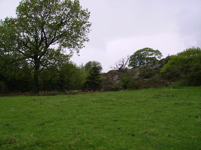
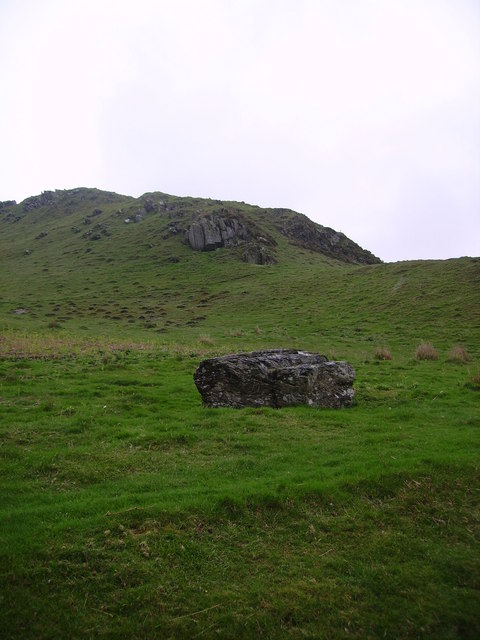
Covered in lush greenery, Grey Stone Moss is home to a variety of mosses, ferns, and other vegetation, creating a vibrant and diverse ecosystem. The mosses, in particular, lend the area its name and are a prominent feature, adding an enchanting touch to the surroundings.
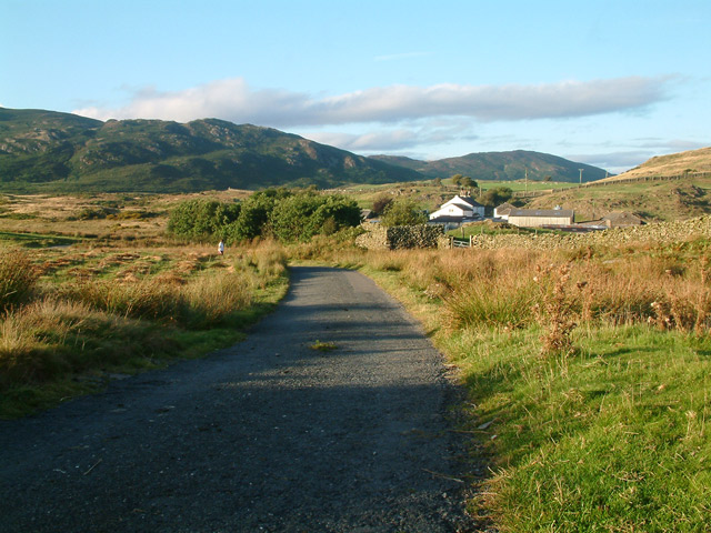
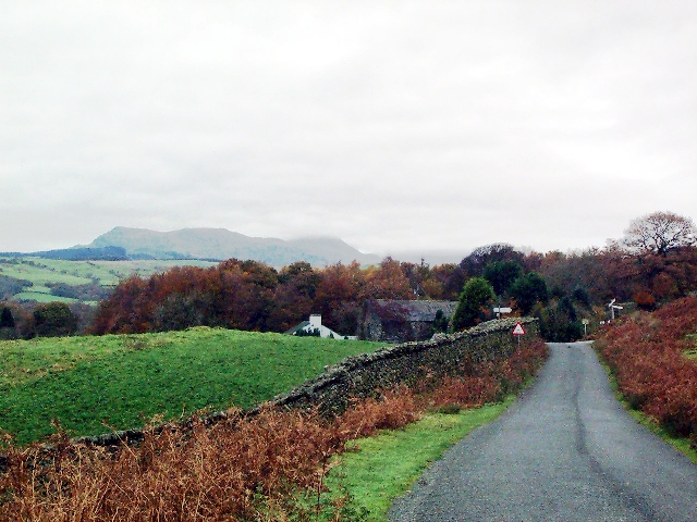
The Downs section of Grey Stone Moss offers vast expanses of rolling hills, providing visitors with breathtaking views of the countryside. The undulating terrain is adorned with heather, gorse, and scattered patches of wildflowers, adding pops of color to the landscape. This area is a haven for hikers and walkers, who can explore the numerous trails and footpaths that crisscross the region.
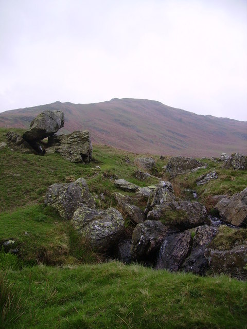
On the other hand, the Moorland section of Grey Stone Moss offers a more rugged and wild experience. Here, visitors can encounter vast stretches of open land, dotted with rocky outcrops and heathlands. The moors are known for their unique flora and fauna, including rare species of birds and insects. The area is often frequented by birdwatchers and wildlife enthusiasts, who can observe the diverse avian population and other wildlife.
Overall, Grey Stone Moss, Lancashire, is a natural paradise that showcases the beauty and diversity of the English countryside. Whether it's exploring the rolling hills of the Downs or venturing into the untamed moorlands, visitors are sure to be captivated by the stunning scenery and abundant wildlife that this area has to offer.
If you have any feedback on the listing, please let us know in the comments section below.
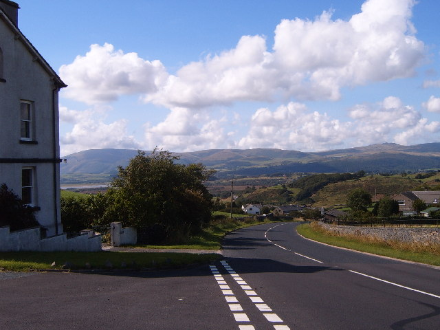
Grey Stone Moss Images
Images are sourced within 2km of 54.268041/-3.1340193 or Grid Reference SD2686. Thanks to Geograph Open Source API. All images are credited.


Grey Stone Moss is located at Grid Ref: SD2686 (Lat: 54.268041, Lng: -3.1340193)
Administrative County: Cumbria
District: South Lakeland
Police Authority: Cumbria
What 3 Words
///brain.fatigued.ports. Near Ulverston, Cumbria
Nearby Locations
Related Wikis
Burney (hill)
Burney is a hill in Cumbria, England, to the north of the A5092 road between Greenodd and Broughton-in-Furness. It is the subject of a chapter of Wainwright...

Gawthwaite
Gawthwaite is a village in Cumbria, England. It is located along the A5092 road, 4.8 miles (7.7 km) north of Ulverston. It is on the Grize Beck stream...

Blawith Knott
Blawith Knott is a hill in the south of the English Lake District, near Woodland, Cumbria. It is the subject of a chapter of Wainwright's book The Outlying...
Beanthwaite
Beanthwaite is a hamlet in Cumbria, England.
Nearby Amenities
Located within 500m of 54.268041,-3.1340193Have you been to Grey Stone Moss?
Leave your review of Grey Stone Moss below (or comments, questions and feedback).