Holford Glen
Valley in Somerset Somerset West and Taunton
England
Holford Glen

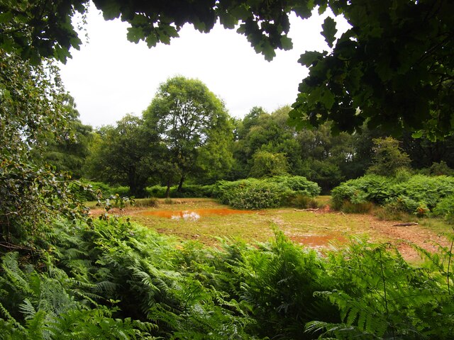
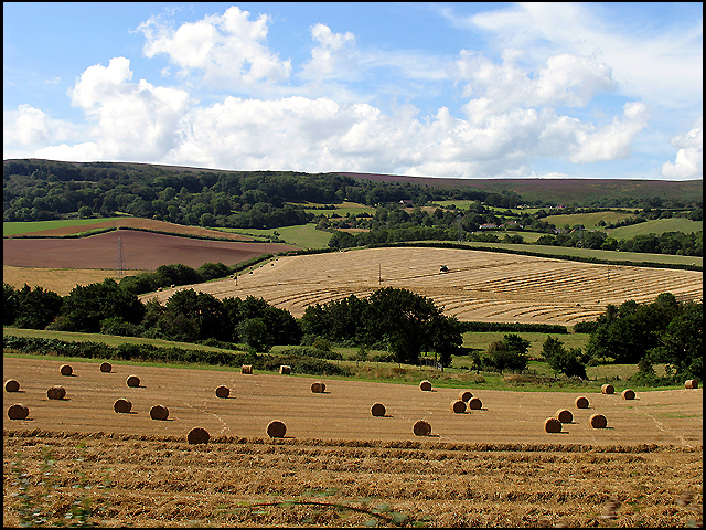
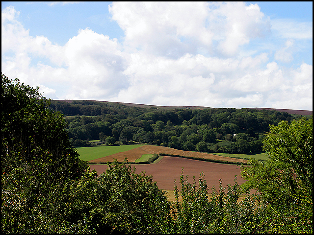
Holford Glen is a picturesque valley located in Somerset, England. Nestled within the Quantock Hills, an Area of Outstanding Natural Beauty, this enchanting glen is renowned for its stunning landscapes and diverse wildlife. The glen stretches for approximately 3 miles, following the course of the Holford Combe Stream as it meanders through the valley.
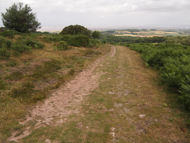
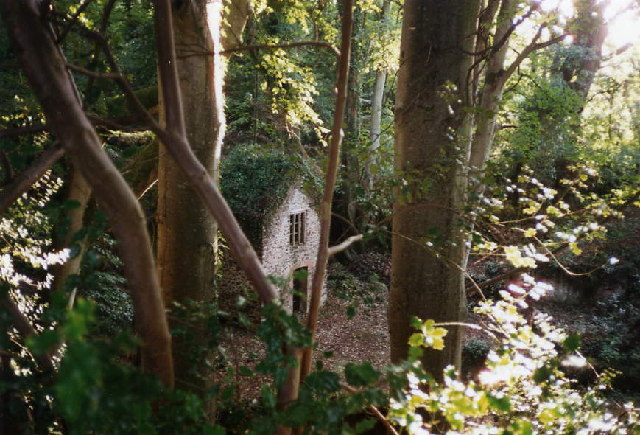
The valley is characterized by its lush greenery, with dense woodlands covering the slopes and a variety of wildflowers carpeting the forest floor. The towering trees provide a serene and tranquil atmosphere, making it a popular destination for nature lovers and hikers alike. A network of well-maintained footpaths and trails crisscrosses the glen, allowing visitors to explore its hidden nooks and peaceful corners.
Holford Glen is home to a rich array of wildlife, making it a haven for nature enthusiasts. Deer, badgers, foxes, and rabbits can often be spotted roaming the glen, while a wide range of bird species, including woodpeckers and owls, can be observed in the treetops. The glen also hosts a diverse ecosystem of plant life, with ancient oak trees, ferns, and mosses adding to its natural beauty.
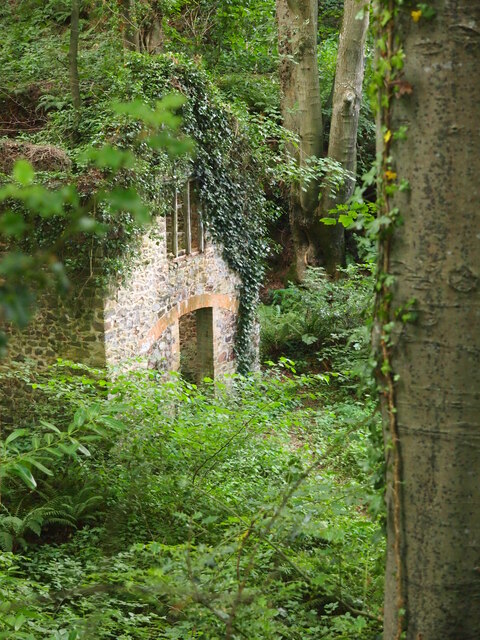
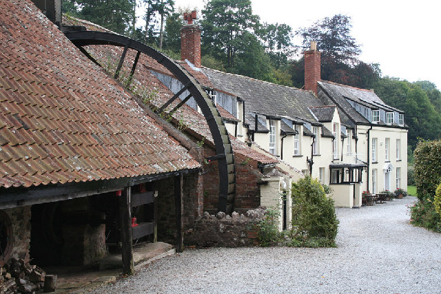
In addition to its natural wonders, Holford Glen is also steeped in history. The remnants of an Iron Age hillfort can be found on the hillside, offering a glimpse into the region's ancient past. The glen has also been a source of inspiration for artists and writers, with its breathtaking scenery often immortalized in paintings and literature.
Overall, Holford Glen is a hidden gem in Somerset, offering visitors a chance to immerse themselves in the beauty of nature and discover the region's rich history.
If you have any feedback on the listing, please let us know in the comments section below.
Holford Glen Images
Images are sourced within 2km of 51.166656/-3.2102241 or Grid Reference ST1541. Thanks to Geograph Open Source API. All images are credited.

Holford Glen is located at Grid Ref: ST1541 (Lat: 51.166656, Lng: -3.2102241)
Administrative County: Somerset
District: Somerset West and Taunton
Police Authority: Avon and Somerset
What 3 Words
///logs.monkeys.loudness. Near Nether Stowey, Somerset
Nearby Locations
Related Wikis

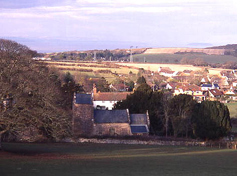
Holford
Holford is a village and civil parish in West Somerset within the Quantock Hills Area of Outstanding Natural Beauty. It is located about 10 miles (16 km...
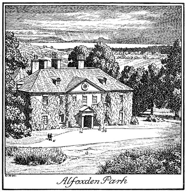
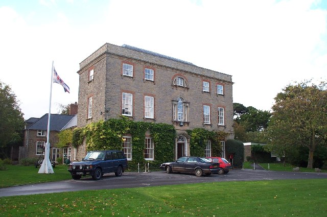
Alfoxton House
Alfoxton House, also known as Alfoxton Park or Alfoxden, is an 18th-century country house in Holford, Somerset, England, within the Quantock Hills Area...

Ge-mare Farm Fields
Ge-mare Farm Fields (grid reference ST155424) is a 4.1 hectare (10.3 acre) biological Site of Special Scientific Interest near Holford on the Quantock...

Kilve
Kilve is a village in the Somerset West and Taunton district of Somerset, England, within the Quantock Hills Area of Outstanding Natural Beauty, the first...
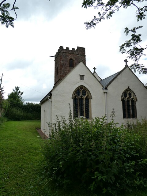
All Saints Church, Dodington
All Saints Church at Dodington in the parish of Holford, Somerset, England was rebuilt and enlarged in the 15th century. It has been designated by English...

Dodington Hall
Dodington Hall in Dodington, within the English county of Somerset, was built in the 15th century. It is a Grade II* listed building.The house is built...

Dowsborough
Dowsborough Camp (or Danesborough or Dawesbury) is an Iron Age hill fort on the Quantock Hills near Nether Stowey in Somerset, England. It has been designated...

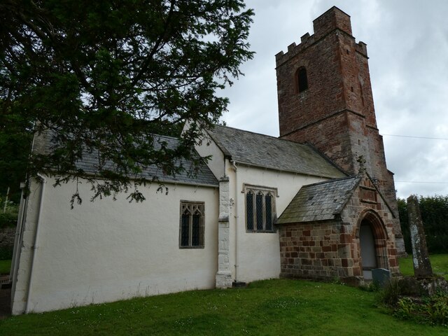
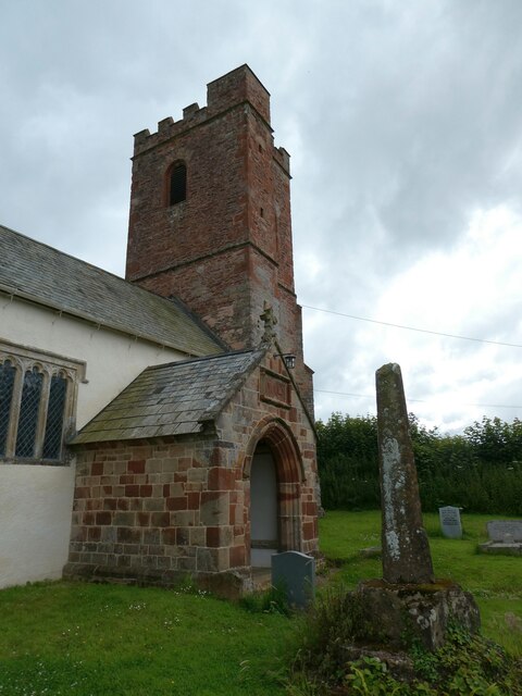
St Mary's Church, Stringston
The Anglican St Mary's Church at Stringston in the English county of Somerset dates from the 17th century. It has been designated as a Grade II listed...
Nearby Amenities
Located within 500m of 51.166656,-3.2102241Have you been to Holford Glen?
Leave your review of Holford Glen below (or comments, questions and feedback).